Little Canada is a city in Ramsey County, Minnesota, United States. It is a second-ring suburb of Minneapolis-Saint Paul. The population was 10,819 at the 2020 census.
| Name: | Little Canada city |
|---|---|
| LSAD Code: | 25 |
| LSAD Description: | city (suffix) |
| State: | Minnesota |
| County: | Ramsey County |
| Founded: | 1858 |
| Elevation: | 912 ft (278 m) |
| Total Area: | 4.49 sq mi (11.62 km²) |
| Land Area: | 3.90 sq mi (10.10 km²) |
| Water Area: | 0.59 sq mi (1.52 km²) |
| Population Density: | 2,775.53/sq mi (1,071.56/km²) |
| ZIP code: | 55109, 55117 |
| Area code: | 651 |
| FIPS code: | 2737502 |
| GNISfeature ID: | 0646773 |
| Website: | littlecanadamn.org |
Online Interactive Map
Click on ![]() to view map in "full screen" mode.
to view map in "full screen" mode.
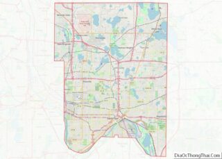
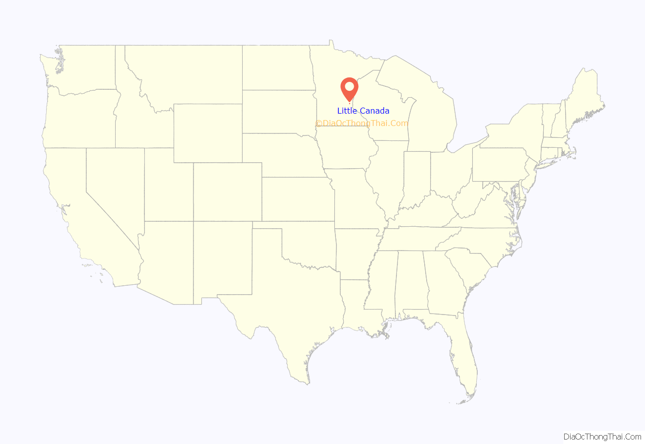
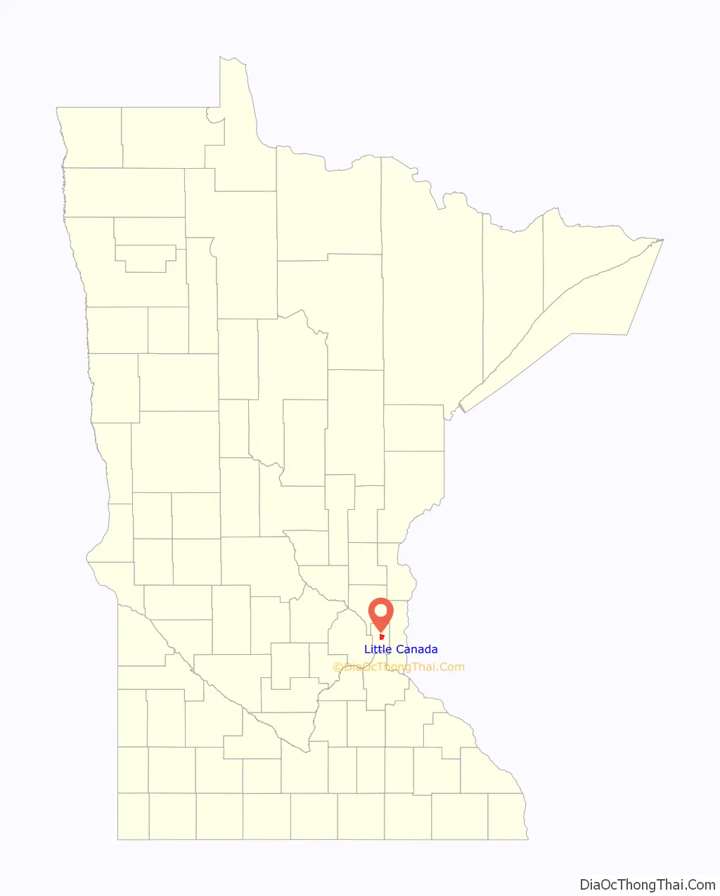
Little Canada location map. Where is Little Canada city?
History
In 1844, French Canadian settler Benjamin Gervais moved north from Saint Paul to claim land in order to build the first grist mill in Minnesota that was independent from the government. Today, the large lake on the east side of Little Canada bears his name (Lake Gervais). The grist mill was converted into a park, which is recognized as the birthplace of the city. Little Canada began as the township of New Canada in 1858. In the 1950s the township was threatened by the suburban sprawl of the ensuing larger communities that were formed, such as Maplewood. In 1953, the city leaders came together and established the village of Little Canada. It became a city in 1974.
Canadian Ties
The city displays the Canadian influence in its history in several ways. Its official symbol is an initial LC on a white fleur-de-lis with a red Maple Leaf background, and the Canadian flag is displayed in council chambers.
In early August the city hosts an annual celebration, Canadian Days, with its sister city Thunder Bay, Ontario, in Canada.
Sister city
- Thunder Bay, Ontario since 1977
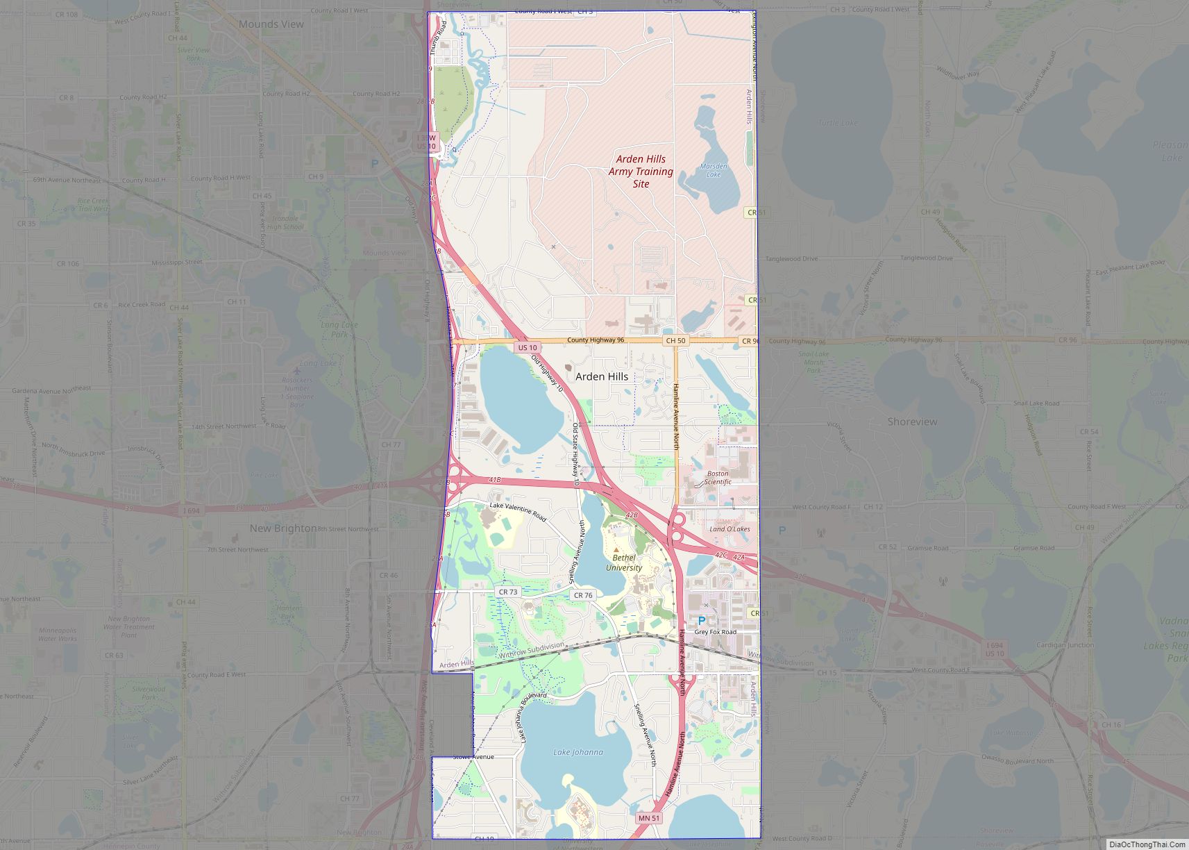
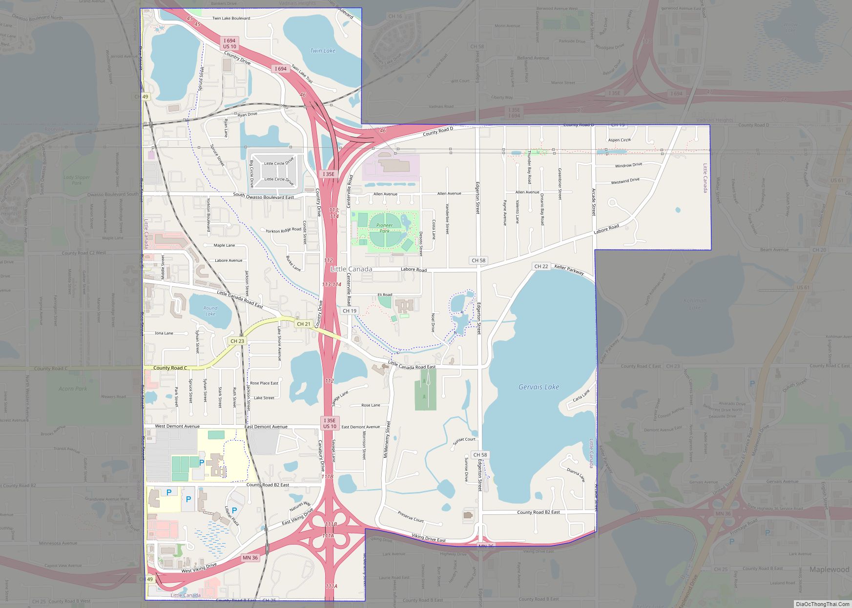
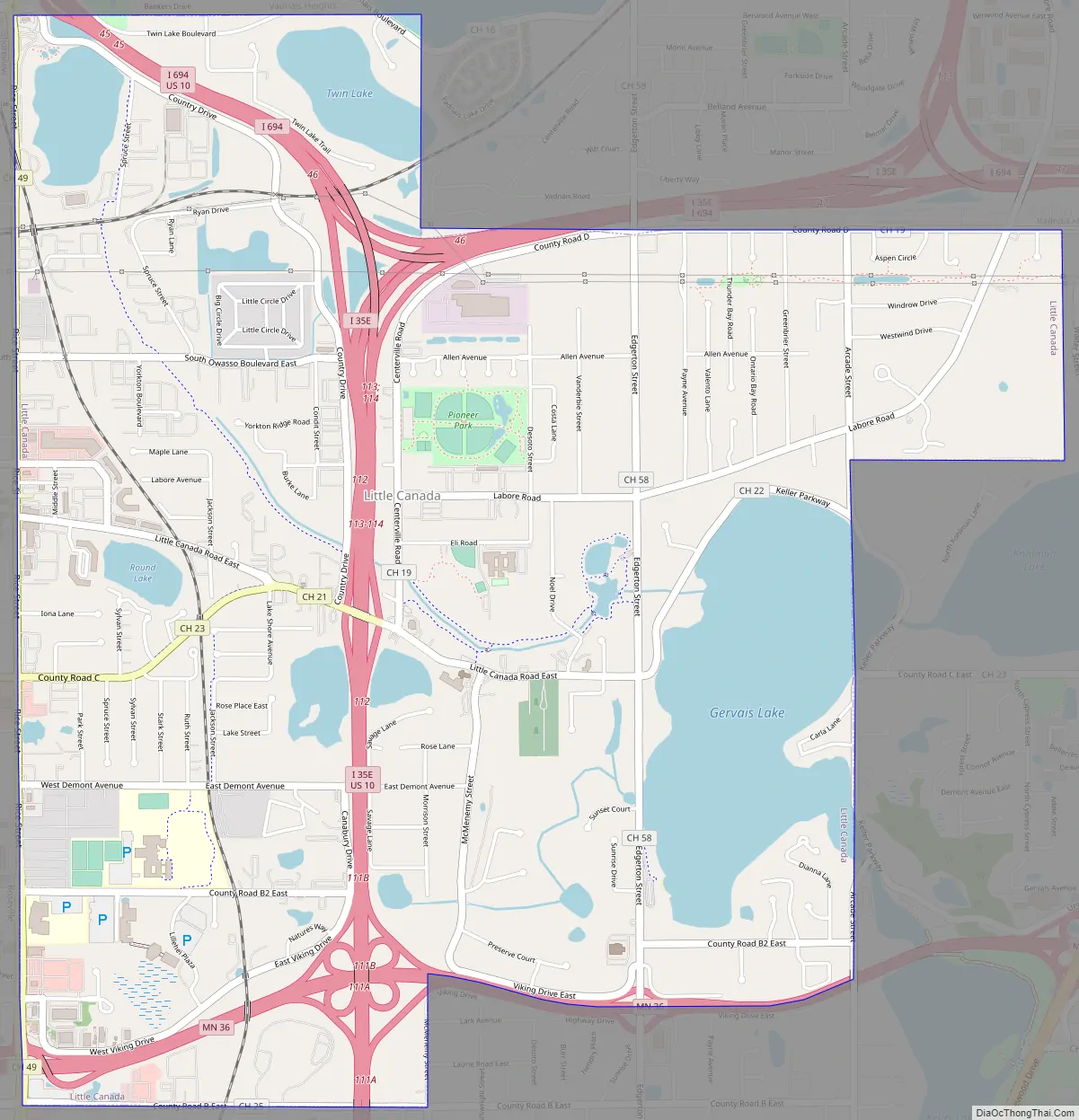
Little Canada Road Map
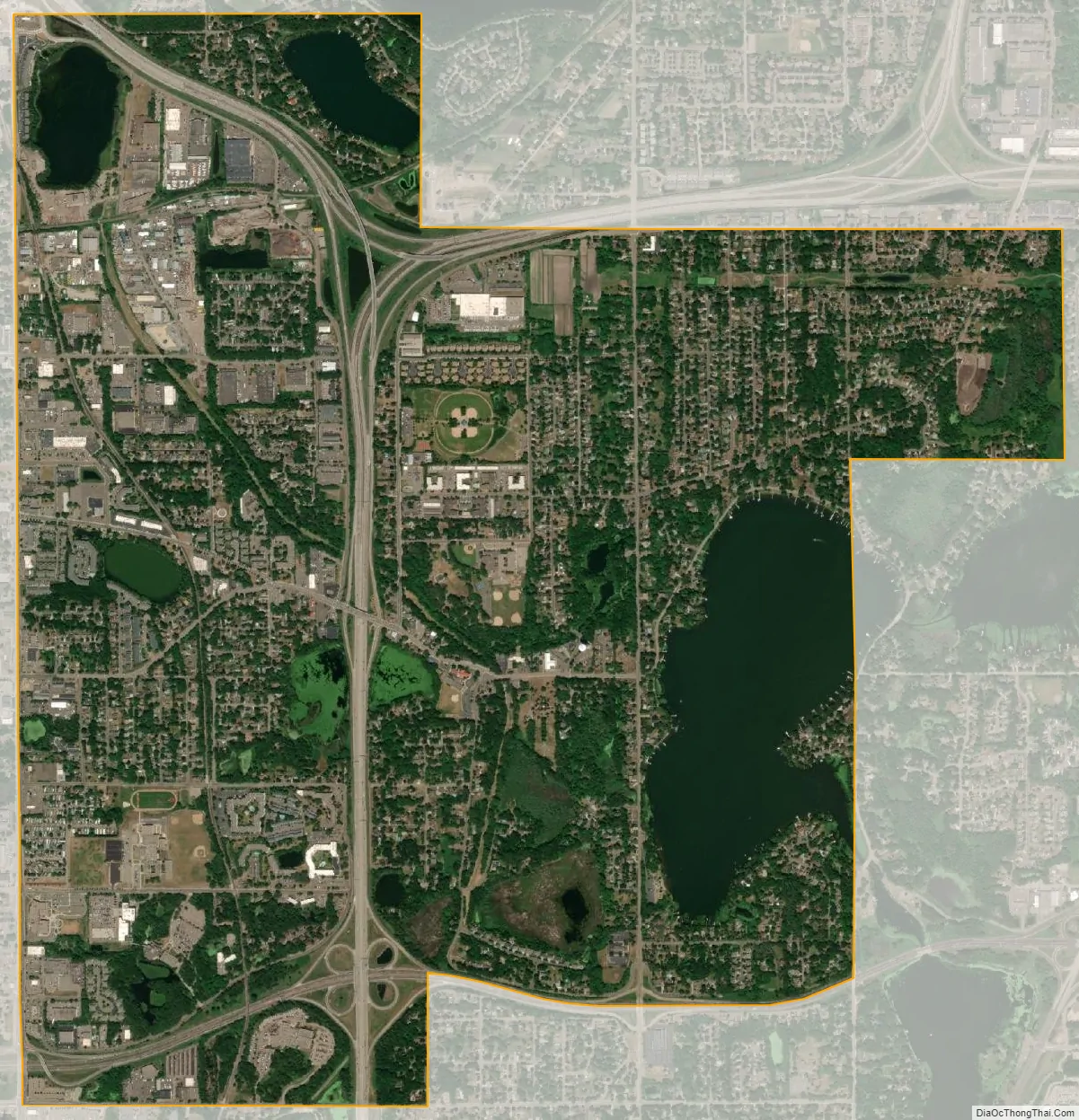
Little Canada city Satellite Map
Geography
According to the United States Census Bureau, the city has a total area of 4.48 square miles (11.60 km), of which 3.89 square miles (10.08 km) is land and 0.59 square miles (1.53 km) is water.
Interstate Highway 35E, Interstate Highway 694, and Minnesota Highway 36 are three of the main routes in the city. Nearby places include Maplewood, Roseville, Shoreview, Vadnais Heights, White Bear Lake, and Saint Paul.
Little Canada has a number of parks and trails, including Pioneer Park, Spooner Park, Gervais Mill Park, Nadeau Wildlife Park, and the upcoming Veterans Memorial Park.
See also
Map of Minnesota State and its subdivision:- Aitkin
- Anoka
- Becker
- Beltrami
- Benton
- Big Stone
- Blue Earth
- Brown
- Carlton
- Carver
- Cass
- Chippewa
- Chisago
- Clay
- Clearwater
- Cook
- Cottonwood
- Crow Wing
- Dakota
- Dodge
- Douglas
- Faribault
- Fillmore
- Freeborn
- Goodhue
- Grant
- Hennepin
- Houston
- Hubbard
- Isanti
- Itasca
- Jackson
- Kanabec
- Kandiyohi
- Kittson
- Koochiching
- Lac qui Parle
- Lake
- Lake of the Woods
- Lake Superior
- Le Sueur
- Lincoln
- Lyon
- Mahnomen
- Marshall
- Martin
- McLeod
- Meeker
- Mille Lacs
- Morrison
- Mower
- Murray
- Nicollet
- Nobles
- Norman
- Olmsted
- Otter Tail
- Pennington
- Pine
- Pipestone
- Polk
- Pope
- Ramsey
- Red Lake
- Redwood
- Renville
- Rice
- Rock
- Roseau
- Saint Louis
- Scott
- Sherburne
- Sibley
- Stearns
- Steele
- Stevens
- Swift
- Todd
- Traverse
- Wabasha
- Wadena
- Waseca
- Washington
- Watonwan
- Wilkin
- Winona
- Wright
- Yellow Medicine
- Alabama
- Alaska
- Arizona
- Arkansas
- California
- Colorado
- Connecticut
- Delaware
- District of Columbia
- Florida
- Georgia
- Hawaii
- Idaho
- Illinois
- Indiana
- Iowa
- Kansas
- Kentucky
- Louisiana
- Maine
- Maryland
- Massachusetts
- Michigan
- Minnesota
- Mississippi
- Missouri
- Montana
- Nebraska
- Nevada
- New Hampshire
- New Jersey
- New Mexico
- New York
- North Carolina
- North Dakota
- Ohio
- Oklahoma
- Oregon
- Pennsylvania
- Rhode Island
- South Carolina
- South Dakota
- Tennessee
- Texas
- Utah
- Vermont
- Virginia
- Washington
- West Virginia
- Wisconsin
- Wyoming