Randolph is a city in Dakota County, Minnesota, United States. The population was 436 at the 2010 census.
| Name: | Randolph city |
|---|---|
| LSAD Code: | 25 |
| LSAD Description: | city (suffix) |
| State: | Minnesota |
| County: | Dakota County |
| Elevation: | 879 ft (268 m) |
| Total Area: | 0.98 sq mi (2.54 km²) |
| Land Area: | 0.95 sq mi (2.47 km²) |
| Water Area: | 0.03 sq mi (0.07 km²) |
| Total Population: | 466 |
| Population Density: | 488.98/sq mi (188.85/km²) |
| ZIP code: | 55065 |
| Area code: | 507, 651 |
| FIPS code: | 2753098 |
| GNISfeature ID: | 0649818 |
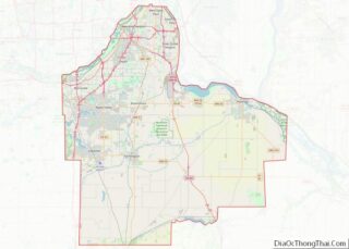
Online Interactive Map
Click on ![]() to view map in "full screen" mode.
to view map in "full screen" mode.
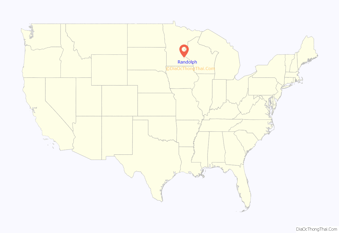
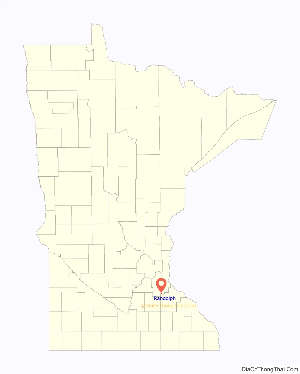
Randolph location map. Where is Randolph city?
History
A post office called Randolph has been in operation since 1886. The city took its name from Randolph Township.
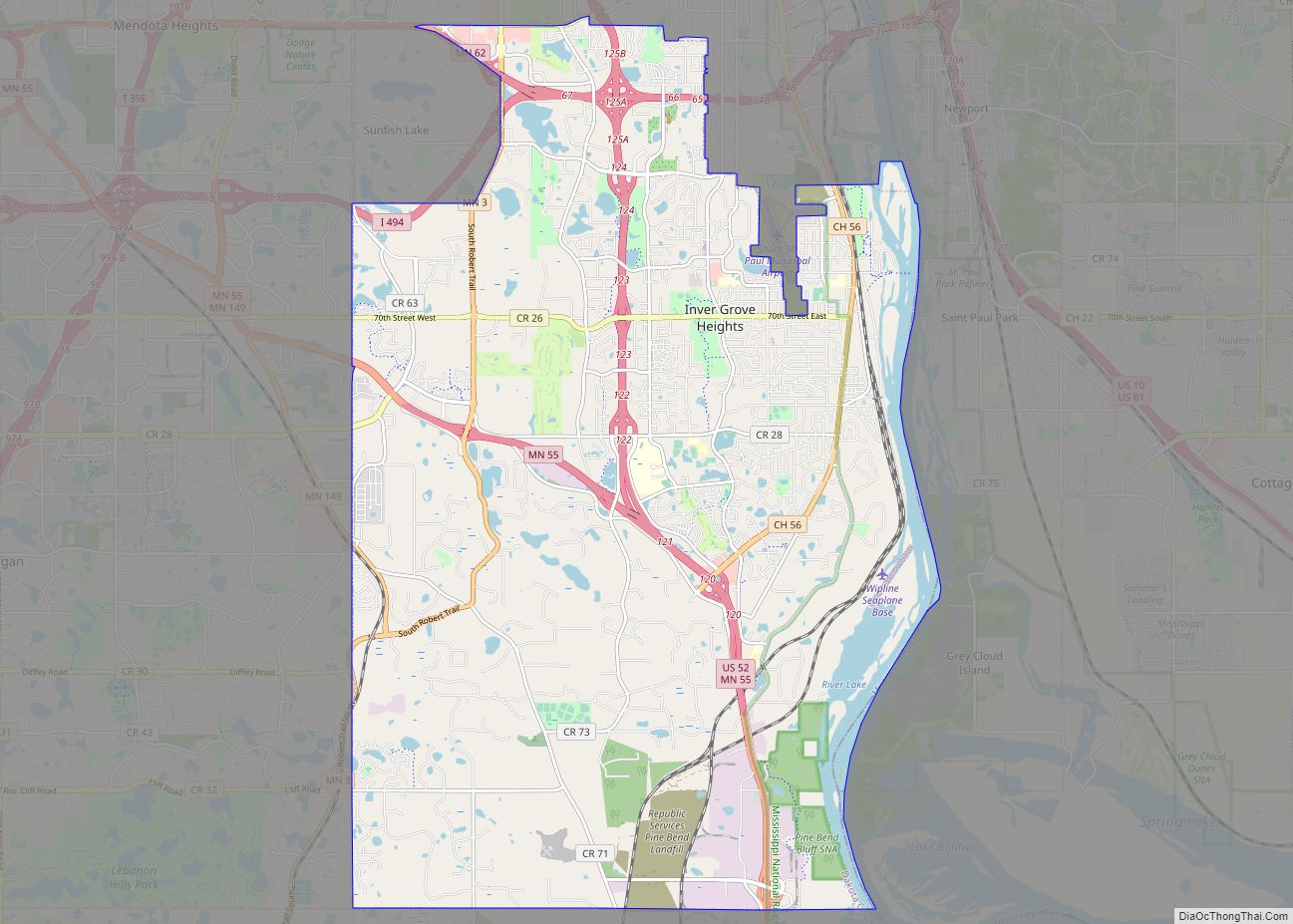
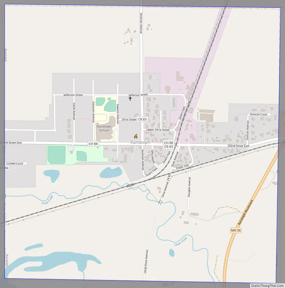
Randolph Road Map
Randolph city Satellite Map

Geography
According to the United States Census Bureau, the city has a total area of 1.03 square miles (2.67 km), of which 0.96 square miles (2.49 km) is land and 0.07 square miles (0.18 km) is water.
The city of Randolph is entirely within Randolph Township geographically but is a separate entity.
Lake Byllesby and the Cannon River are both nearby.
Randolph is in the southern part of Dakota County. The boundary line between Dakota, Goodhue, and Rice counties is nearby.
See also
Map of Minnesota State and its subdivision:- Aitkin
- Anoka
- Becker
- Beltrami
- Benton
- Big Stone
- Blue Earth
- Brown
- Carlton
- Carver
- Cass
- Chippewa
- Chisago
- Clay
- Clearwater
- Cook
- Cottonwood
- Crow Wing
- Dakota
- Dodge
- Douglas
- Faribault
- Fillmore
- Freeborn
- Goodhue
- Grant
- Hennepin
- Houston
- Hubbard
- Isanti
- Itasca
- Jackson
- Kanabec
- Kandiyohi
- Kittson
- Koochiching
- Lac qui Parle
- Lake
- Lake of the Woods
- Lake Superior
- Le Sueur
- Lincoln
- Lyon
- Mahnomen
- Marshall
- Martin
- McLeod
- Meeker
- Mille Lacs
- Morrison
- Mower
- Murray
- Nicollet
- Nobles
- Norman
- Olmsted
- Otter Tail
- Pennington
- Pine
- Pipestone
- Polk
- Pope
- Ramsey
- Red Lake
- Redwood
- Renville
- Rice
- Rock
- Roseau
- Saint Louis
- Scott
- Sherburne
- Sibley
- Stearns
- Steele
- Stevens
- Swift
- Todd
- Traverse
- Wabasha
- Wadena
- Waseca
- Washington
- Watonwan
- Wilkin
- Winona
- Wright
- Yellow Medicine
- Alabama
- Alaska
- Arizona
- Arkansas
- California
- Colorado
- Connecticut
- Delaware
- District of Columbia
- Florida
- Georgia
- Hawaii
- Idaho
- Illinois
- Indiana
- Iowa
- Kansas
- Kentucky
- Louisiana
- Maine
- Maryland
- Massachusetts
- Michigan
- Minnesota
- Mississippi
- Missouri
- Montana
- Nebraska
- Nevada
- New Hampshire
- New Jersey
- New Mexico
- New York
- North Carolina
- North Dakota
- Ohio
- Oklahoma
- Oregon
- Pennsylvania
- Rhode Island
- South Carolina
- South Dakota
- Tennessee
- Texas
- Utah
- Vermont
- Virginia
- Washington
- West Virginia
- Wisconsin
- Wyoming