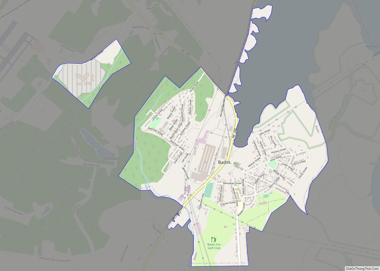
Badin is a town located in Stanly County, North Carolina, United States. At the 2010 census, the town had a total population of 1,974.
| Name: | Badin town |
|---|---|
| LSAD Code: | 43 |
| LSAD Description: | town (suffix) |
| State: | North Carolina |
| County: | Stanly County |
| Elevation: | 515 ft (157 m) |
| Total Area: | 1.81 sq mi (4.70 km²) |
| Land Area: | 1.81 sq mi (4.70 km²) |
| Water Area: | 0.00 sq mi (0.00 km²) |
| Total Population: | 2,024 |
| Population Density: | 1,116.38/sq mi (431.07/km²) |
| ZIP code: | 28009 |
| Area code: | Area codes 704 980 |
| FIPS code: | 3702960 |
| GNISfeature ID: | 1027372 |
| Website: | www.badin.org |
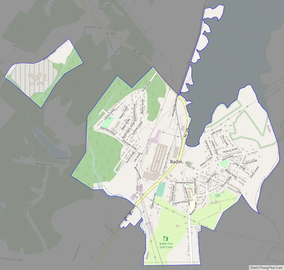
Online Interactive Map
Click on ![]() to view map in "full screen" mode.
to view map in "full screen" mode.
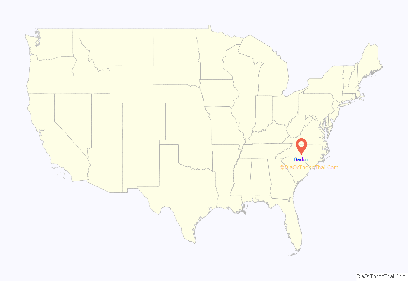
Badin location map. Where is Badin town?

History
The Badin Historic District, Doerschuk Site, Hardaway Site, Narrows Dam and Power Plant Complex, and West Badin Historic District are listed on the National Register of Historic Places.
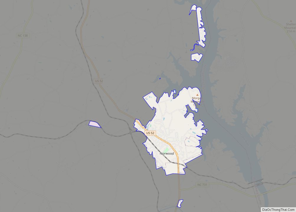
Badin Road Map
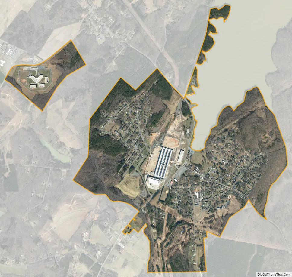
Badin city Satellite Map
Geography
Badin is located on the south end of Badin Lake which is a reservoir formed by damming the Yadkin River. North Carolina Highway 740 passes through the town. Albemarle is four miles to the southwest and New London is six miles to the northwest.
According to the United States Census Bureau, the town has a total area of 1.6 square miles (4.1 km), all land.
See also
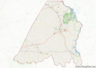
Map of North Carolina State and its subdivision:- Alamance
- Alexander
- Alleghany
- Anson
- Ashe
- Avery
- Beaufort
- Bertie
- Bladen
- Brunswick
- Buncombe
- Burke
- Cabarrus
- Caldwell
- Camden
- Carteret
- Caswell
- Catawba
- Chatham
- Cherokee
- Chowan
- Clay
- Cleveland
- Columbus
- Craven
- Cumberland
- Currituck
- Dare
- Davidson
- Davie
- Duplin
- Durham
- Edgecombe
- Forsyth
- Franklin
- Gaston
- Gates
- Graham
- Granville
- Greene
- Guilford
- Halifax
- Harnett
- Haywood
- Henderson
- Hertford
- Hoke
- Hyde
- Iredell
- Jackson
- Johnston
- Jones
- Lee
- Lenoir
- Lincoln
- Macon
- Madison
- Martin
- McDowell
- Mecklenburg
- Mitchell
- Montgomery
- Moore
- Nash
- New Hanover
- Northampton
- Onslow
- Orange
- Pamlico
- Pasquotank
- Pender
- Perquimans
- Person
- Pitt
- Polk
- Randolph
- Richmond
- Robeson
- Rockingham
- Rowan
- Rutherford
- Sampson
- Scotland
- Stanly
- Stokes
- Surry
- Swain
- Transylvania
- Tyrrell
- Union
- Vance
- Wake
- Warren
- Washington
- Watauga
- Wayne
- Wilkes
- Wilson
- Yadkin
- Yancey
- Alabama
- Alaska
- Arizona
- Arkansas
- California
- Colorado
- Connecticut
- Delaware
- District of Columbia
- Florida
- Georgia
- Hawaii
- Idaho
- Illinois
- Indiana
- Iowa
- Kansas
- Kentucky
- Louisiana
- Maine
- Maryland
- Massachusetts
- Michigan
- Minnesota
- Mississippi
- Missouri
- Montana
- Nebraska
- Nevada
- New Hampshire
- New Jersey
- New Mexico
- New York
- North Carolina
- North Dakota
- Ohio
- Oklahoma
- Oregon
- Pennsylvania
- Rhode Island
- South Carolina
- South Dakota
- Tennessee
- Texas
- Utah
- Vermont
- Virginia
- Washington
- West Virginia
- Wisconsin
- Wyoming