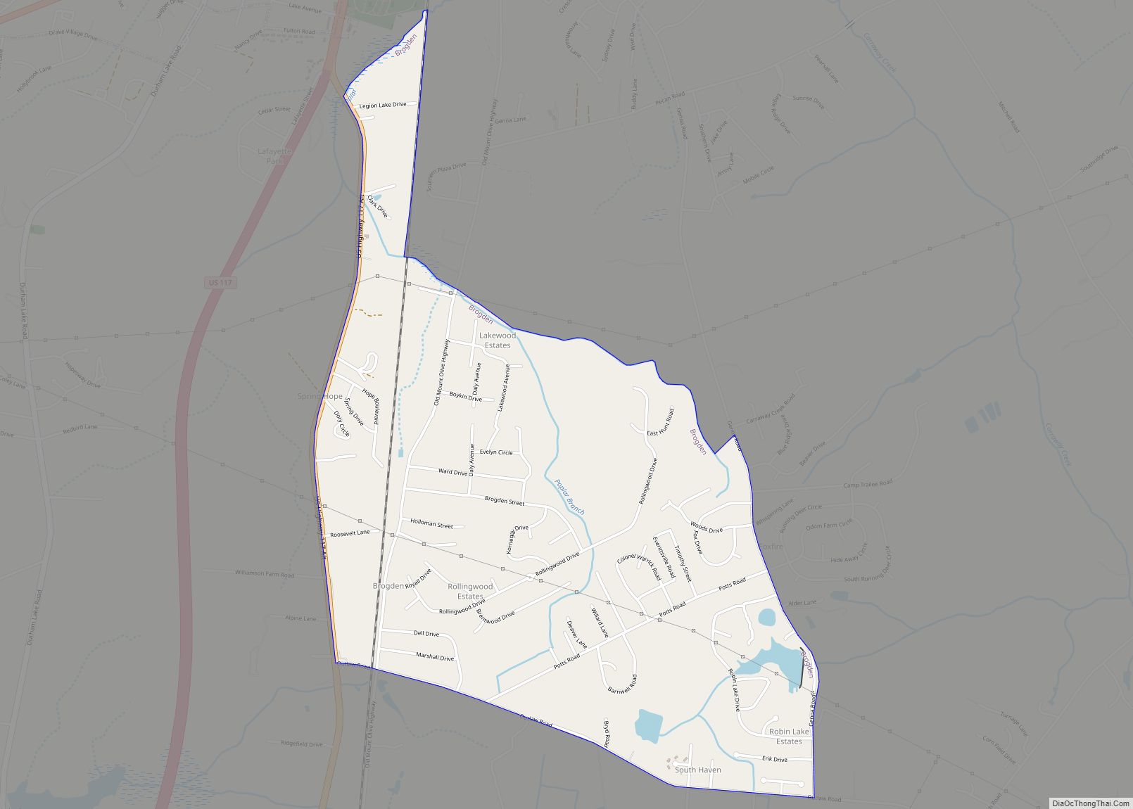
Brogden is a census-designated place (CDP) in Wayne County, North Carolina, United States. The population was 2,510 in 2020. It is included in the Goldsboro, North Carolina Metropolitan Statistical Area.
| Name: | Brogden CDP |
|---|---|
| LSAD Code: | 57 |
| LSAD Description: | CDP (suffix) |
| State: | North Carolina |
| County: | Wayne County |
| Elevation: | 174 ft (53 m) |
| Total Area: | 2.26 sq mi (5.84 km²) |
| Land Area: | 2.22 sq mi (5.74 km²) |
| Water Area: | 0.04 sq mi (0.10 km²) |
| Total Population: | 2,510 |
| Population Density: | 1,132.67/sq mi (437.34/km²) |
| ZIP code: | 28333 |
| Area code: | 919 and 984 |
| FIPS code: | 3708110 |
| GNISfeature ID: | 1019314 |
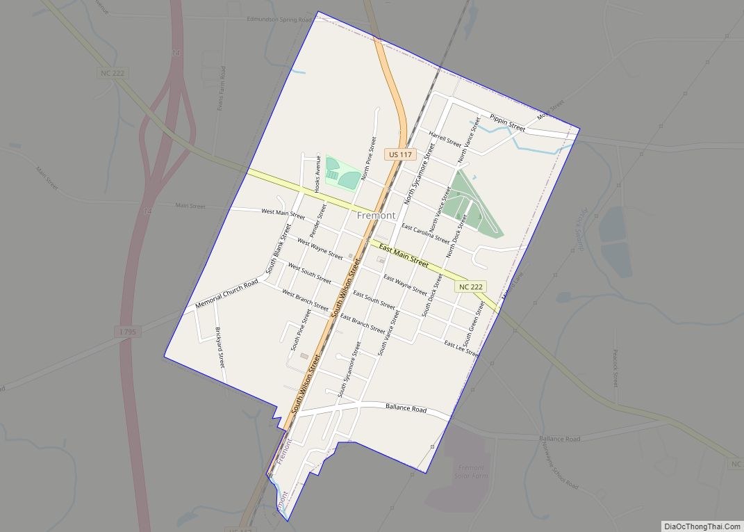
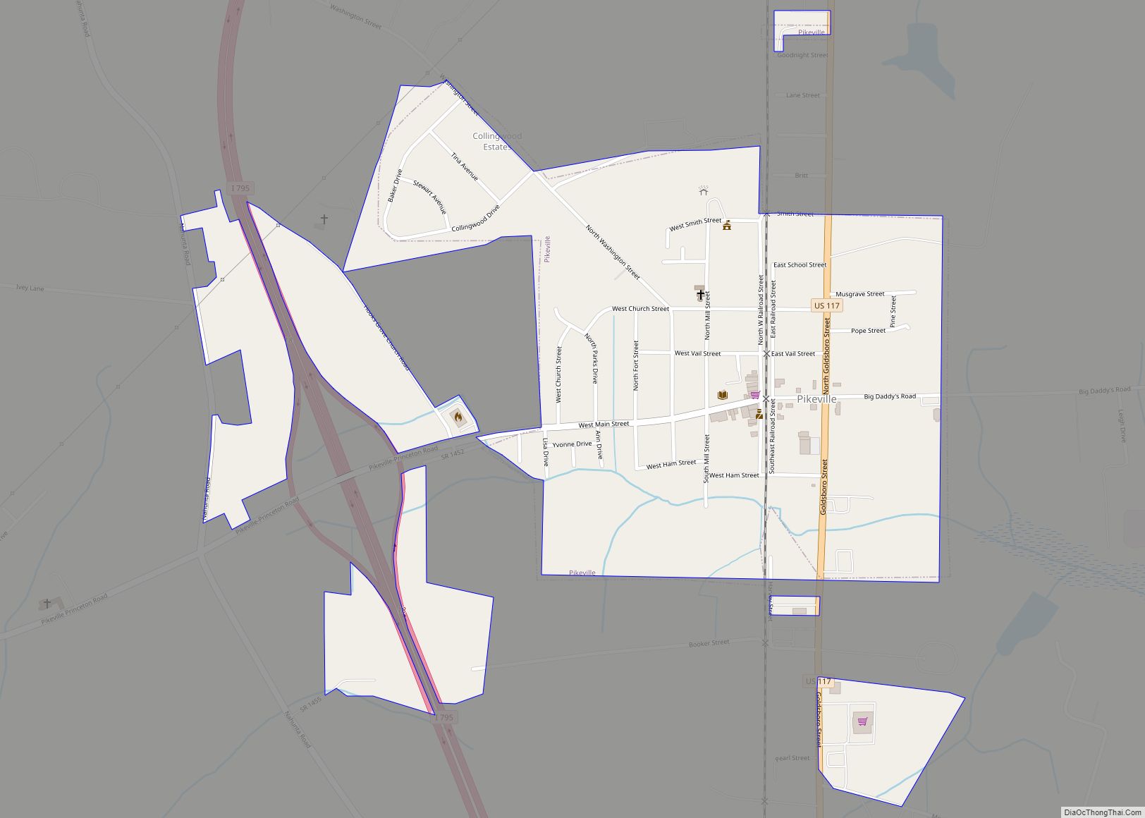
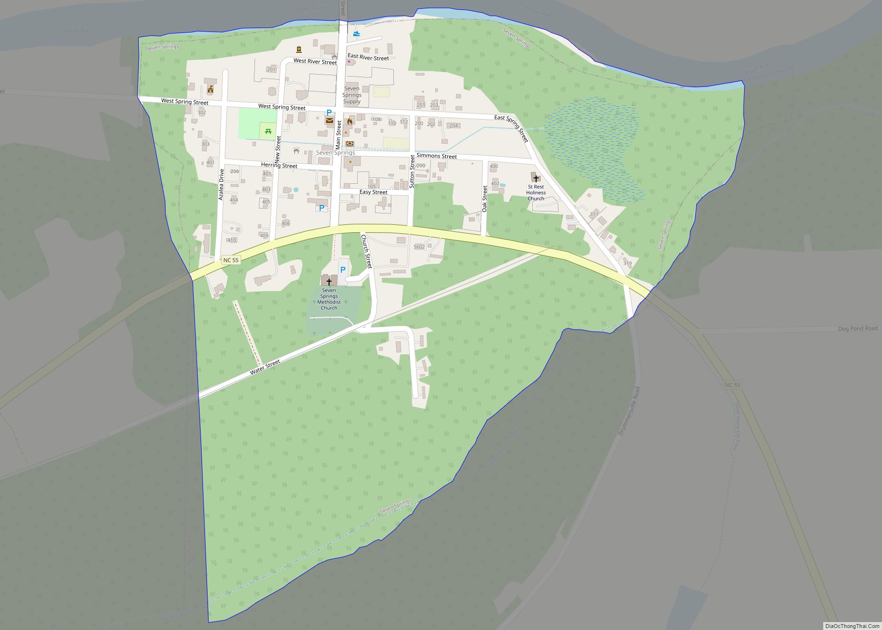
Online Interactive Map
Click on ![]() to view map in "full screen" mode.
to view map in "full screen" mode.
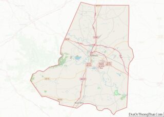
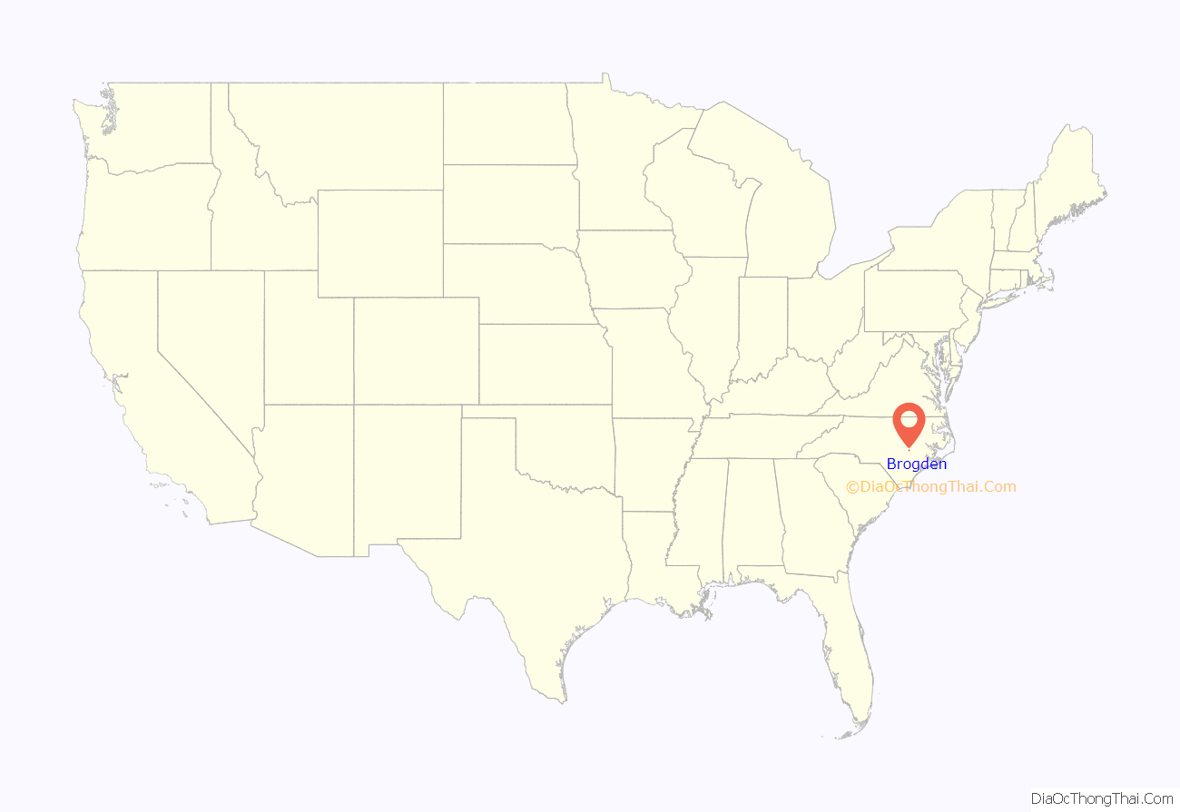
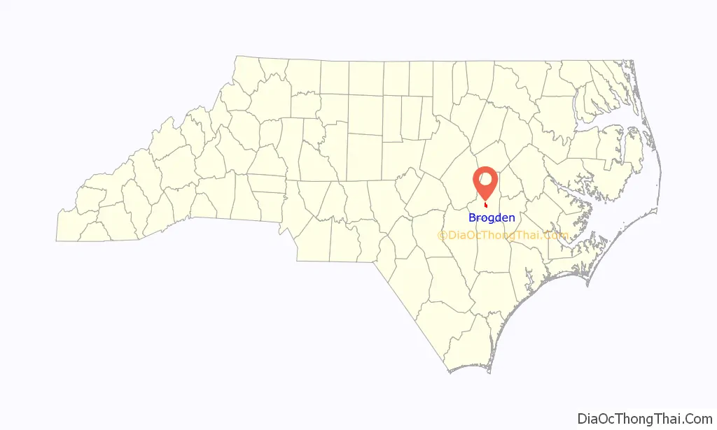
Brogden location map. Where is Brogden CDP?
History
The community takes its name from the Brogden family, Quakers of English descent who settled in the area during the colonial period.
Shiloh Primitive Baptist Church was listed on the National Register of Historic Places in 2008.
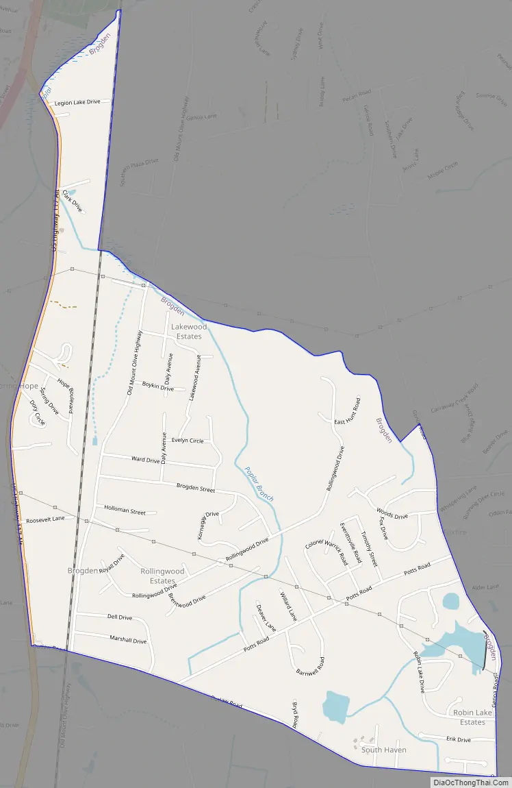
Brogden Road Map
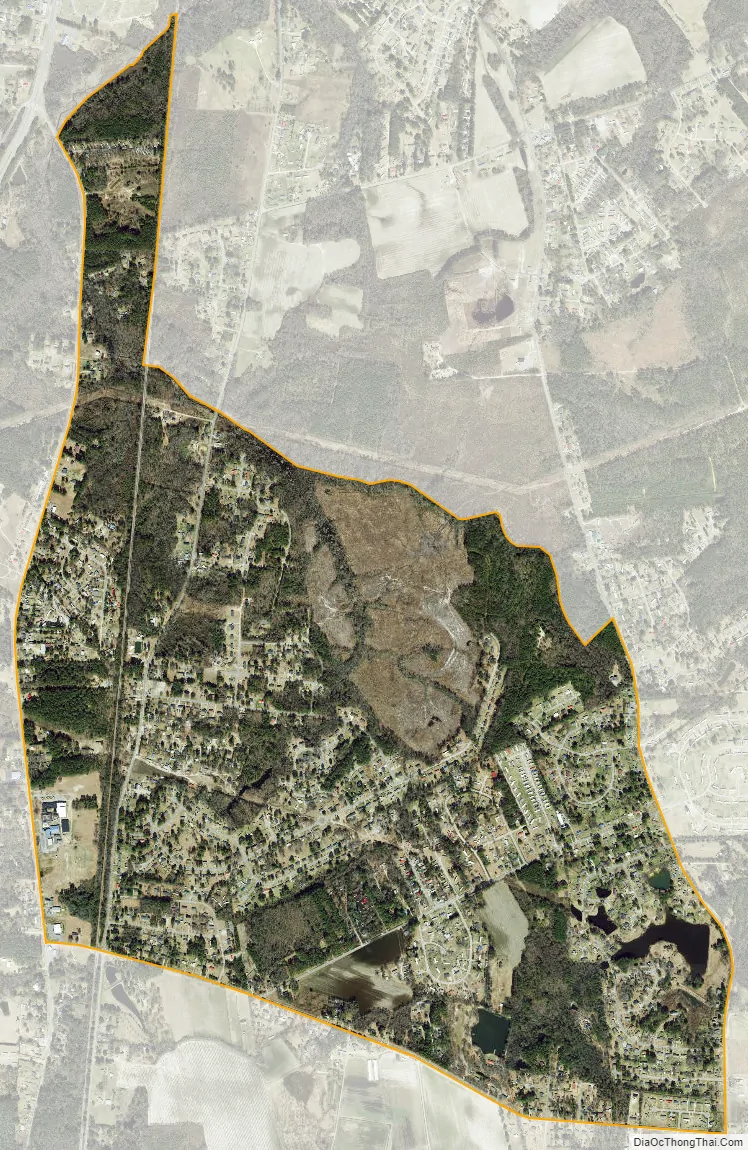
Brogden city Satellite Map
Geography
Brogden is located at 35°17′51″N 78°1′40″W / 35.29750°N 78.02778°W / 35.29750; -78.02778 (35.297594, -78.027817).
According to the United States Census Bureau, the CDP has a total area of 2.2 square miles (5.7 km), of which, 2.2 square miles (5.7 km) of it is land and 0.04 square miles (0.10 km) of it (1.82%) is water.
Brogden’s elevations are on average 175 feet above sea level. The area is underlain by unconsolidated beds of sand, clay and gravel. Most of these beds were deposited in seawater as the sea advanced and retreated during the geologic development of the Atlantic Coastal Plain. To a much lesser extent, streams deposited layers of sediment which mixed with that deposited on the sea floor.
The climate in Brogden is characterized by warm summers and moderate winters. The average temperature is about 62 degrees. Annual precipitation is about 50 inches of rainfall per year, with the major portion occurring in the late spring and summer.
Brogden also is the name of a farming community in neighboring Johnston County where Hollywood actress Ava Gardner lived as a child.
See also
Map of North Carolina State and its subdivision:- Alamance
- Alexander
- Alleghany
- Anson
- Ashe
- Avery
- Beaufort
- Bertie
- Bladen
- Brunswick
- Buncombe
- Burke
- Cabarrus
- Caldwell
- Camden
- Carteret
- Caswell
- Catawba
- Chatham
- Cherokee
- Chowan
- Clay
- Cleveland
- Columbus
- Craven
- Cumberland
- Currituck
- Dare
- Davidson
- Davie
- Duplin
- Durham
- Edgecombe
- Forsyth
- Franklin
- Gaston
- Gates
- Graham
- Granville
- Greene
- Guilford
- Halifax
- Harnett
- Haywood
- Henderson
- Hertford
- Hoke
- Hyde
- Iredell
- Jackson
- Johnston
- Jones
- Lee
- Lenoir
- Lincoln
- Macon
- Madison
- Martin
- McDowell
- Mecklenburg
- Mitchell
- Montgomery
- Moore
- Nash
- New Hanover
- Northampton
- Onslow
- Orange
- Pamlico
- Pasquotank
- Pender
- Perquimans
- Person
- Pitt
- Polk
- Randolph
- Richmond
- Robeson
- Rockingham
- Rowan
- Rutherford
- Sampson
- Scotland
- Stanly
- Stokes
- Surry
- Swain
- Transylvania
- Tyrrell
- Union
- Vance
- Wake
- Warren
- Washington
- Watauga
- Wayne
- Wilkes
- Wilson
- Yadkin
- Yancey
- Alabama
- Alaska
- Arizona
- Arkansas
- California
- Colorado
- Connecticut
- Delaware
- District of Columbia
- Florida
- Georgia
- Hawaii
- Idaho
- Illinois
- Indiana
- Iowa
- Kansas
- Kentucky
- Louisiana
- Maine
- Maryland
- Massachusetts
- Michigan
- Minnesota
- Mississippi
- Missouri
- Montana
- Nebraska
- Nevada
- New Hampshire
- New Jersey
- New Mexico
- New York
- North Carolina
- North Dakota
- Ohio
- Oklahoma
- Oregon
- Pennsylvania
- Rhode Island
- South Carolina
- South Dakota
- Tennessee
- Texas
- Utah
- Vermont
- Virginia
- Washington
- West Virginia
- Wisconsin
- Wyoming