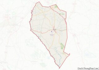
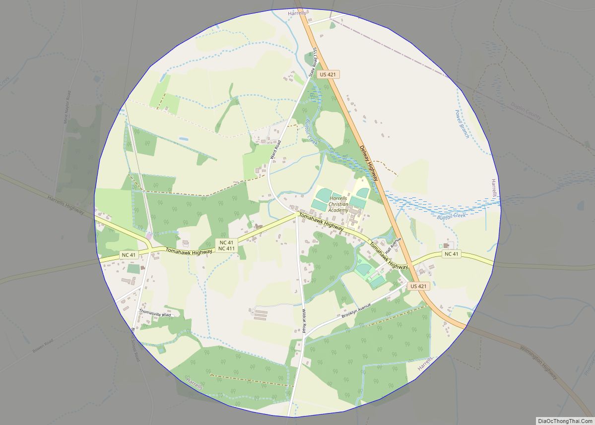
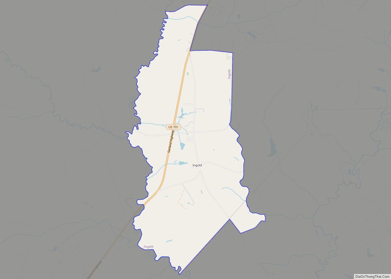
Clinton is a city in and the county seat of Sampson County, North Carolina, United States. The population of Clinton is 8,639 according to the 2010 Census. Clinton is named for Richard Clinton, a Brigadier General of the North Carolina militia in the American Revolution.
| Name: | Clinton city |
|---|---|
| LSAD Code: | 25 |
| LSAD Description: | city (suffix) |
| State: | North Carolina |
| County: | Sampson County |
| Incorporated: | 1822 |
| Elevation: | 157 ft (48 m) |
| Total Area: | 7.66 sq mi (19.85 km²) |
| Land Area: | 7.63 sq mi (19.76 km²) |
| Water Area: | 0.03 sq mi (0.08 km²) |
| Total Population: | 8,383 |
| Population Density: | 1,098.69/sq mi (424.21/km²) |
| ZIP code: | 28328-28329 |
| FIPS code: | 3713240 |
| GNISfeature ID: | 0983293 |
| Website: | http://www.cityofclintonnc.com/ |
Online Interactive Map
Click on ![]() to view map in "full screen" mode.
to view map in "full screen" mode.
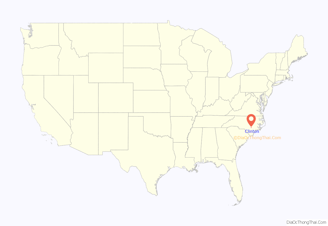
Clinton location map. Where is Clinton city?
History
The first settlers came to the Clinton area around 1740. The community was originally known as Clinton Courthouse. There was an earlier incorporated town of Clinton elsewhere in the state; however, that town folded in 1822 and Clinton was incorporated as a town in the same year. In 1852, the General Assembly passed several acts to improve regulation of towns, including Clinton. As part of the “Act for the Better Regulation of the Town of Clinton in the County of Sampson,” the General Assembly appointed five commissioners: James Moseley, Isaac Boykin, Dr. Henry Bizzel, John Beaman, and Alfred Johnson. The corporate limits of the town at that time extended a half mile each way from the courthouse. The first records of an election were in February 1852 and the first tax rate was $0.50 per $100 valuation of real property. In July 1953, the town became a city.
Clinton is the geographic center of the county, and because Sampson County is primarily rural farmland, Clinton developed as the major agricultural marketing center. Clinton is also where future 13th Vice President William R. King, (1786-1853), later of Alabama, under 14th President Franklin Pierce, (1804-1869), of New Hampshire, was born and began his legal career. He was inaugurated in March 1853 in Havana, Cuba, the only American executive official to be sworn in on foreign soil. He died shortly after being separately sworn in.
Clinton had a minor league baseball team in the Tobacco State League from 1946 to 1950, which was the last stop in the colorful career of Brooklyn Dodgers All-star pitcher Van Lingle Mungo.
The Bethune-Powell Buildings, Gen. Thomas Boykin House, Clinton Commercial Historic District, Clinton Depot, College Street Historic District, Graves-Stewart House, Robert Herring House, Johnson Building, Marcheston Killett Farm, Livingston Oates Farm, Patrick-Carr-Herring House, Pigford House, Pope House, Francis Pugh House, Pugh-Boykin House, Royal-Crumpler-Parker House, and West Main-North Chesnutt Streets Historic District are listed on the National Register of Historic Places.
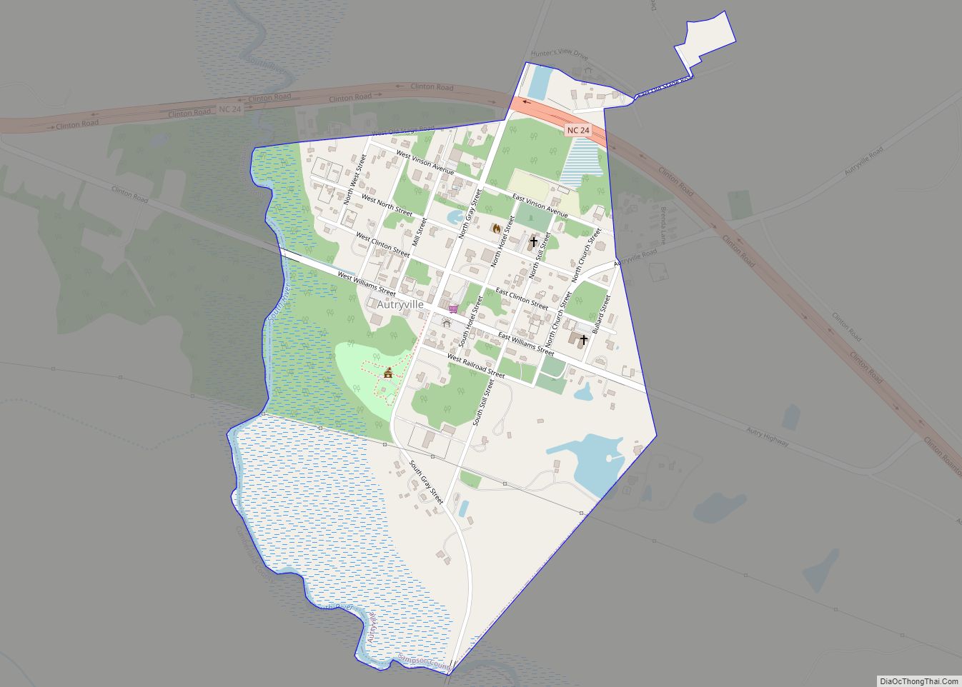
Clinton Road Map
Clinton city Satellite Map
Geography
Clinton is located at 35°0′9″N 78°19′44″W / 35.00250°N 78.32889°W / 35.00250; -78.32889 (35.002418, -78.328803).
According to the United States Census Bureau, the city has a total area of 7.75 square miles (20.1 km), of which 0.04 square miles (0.10 km) (0.28%) is water.
Climate
According to the Köppen Climate Classification system, Clinton has a humid subtropical climate, abbreviated “Cfa” on climate maps. The hottest temperature recorded in Clinton was 104 °F (40.0 °C) on August 22, 1983, while the coldest temperature recorded was −2 °F (−18.9 °C) on January 21, 1985.
See also
Map of North Carolina State and its subdivision:- Alamance
- Alexander
- Alleghany
- Anson
- Ashe
- Avery
- Beaufort
- Bertie
- Bladen
- Brunswick
- Buncombe
- Burke
- Cabarrus
- Caldwell
- Camden
- Carteret
- Caswell
- Catawba
- Chatham
- Cherokee
- Chowan
- Clay
- Cleveland
- Columbus
- Craven
- Cumberland
- Currituck
- Dare
- Davidson
- Davie
- Duplin
- Durham
- Edgecombe
- Forsyth
- Franklin
- Gaston
- Gates
- Graham
- Granville
- Greene
- Guilford
- Halifax
- Harnett
- Haywood
- Henderson
- Hertford
- Hoke
- Hyde
- Iredell
- Jackson
- Johnston
- Jones
- Lee
- Lenoir
- Lincoln
- Macon
- Madison
- Martin
- McDowell
- Mecklenburg
- Mitchell
- Montgomery
- Moore
- Nash
- New Hanover
- Northampton
- Onslow
- Orange
- Pamlico
- Pasquotank
- Pender
- Perquimans
- Person
- Pitt
- Polk
- Randolph
- Richmond
- Robeson
- Rockingham
- Rowan
- Rutherford
- Sampson
- Scotland
- Stanly
- Stokes
- Surry
- Swain
- Transylvania
- Tyrrell
- Union
- Vance
- Wake
- Warren
- Washington
- Watauga
- Wayne
- Wilkes
- Wilson
- Yadkin
- Yancey
- Alabama
- Alaska
- Arizona
- Arkansas
- California
- Colorado
- Connecticut
- Delaware
- District of Columbia
- Florida
- Georgia
- Hawaii
- Idaho
- Illinois
- Indiana
- Iowa
- Kansas
- Kentucky
- Louisiana
- Maine
- Maryland
- Massachusetts
- Michigan
- Minnesota
- Mississippi
- Missouri
- Montana
- Nebraska
- Nevada
- New Hampshire
- New Jersey
- New Mexico
- New York
- North Carolina
- North Dakota
- Ohio
- Oklahoma
- Oregon
- Pennsylvania
- Rhode Island
- South Carolina
- South Dakota
- Tennessee
- Texas
- Utah
- Vermont
- Virginia
- Washington
- West Virginia
- Wisconsin
- Wyoming
