Havelock is a city in Craven County, North Carolina, United States. The population was 20,735 at the 2010 census. The city is home to Marine Corps Air Station Cherry Point, the world’s largest Marine Corps air station, and home to the 2nd Marine Aircraft Wing.
Havelock is part of the New Bern Metropolitan Statistical Area.
| Name: | Havelock city |
|---|---|
| LSAD Code: | 25 |
| LSAD Description: | city (suffix) |
| State: | North Carolina |
| County: | Craven County |
| Elevation: | 23 ft (7 m) |
| Total Area: | 18.15 sq mi (47.02 km²) |
| Land Area: | 17.09 sq mi (44.25 km²) |
| Water Area: | 1.07 sq mi (2.77 km²) |
| Total Population: | 16,621 |
| Population Density: | 972.78/sq mi (375.58/km²) |
| ZIP code: | 28532-28533 |
| Area code: | 252 |
| FIPS code: | 3730120 |
| GNISfeature ID: | 1020637 |
| Website: | www.havelocknc.us |
Online Interactive Map
Click on ![]() to view map in "full screen" mode.
to view map in "full screen" mode.
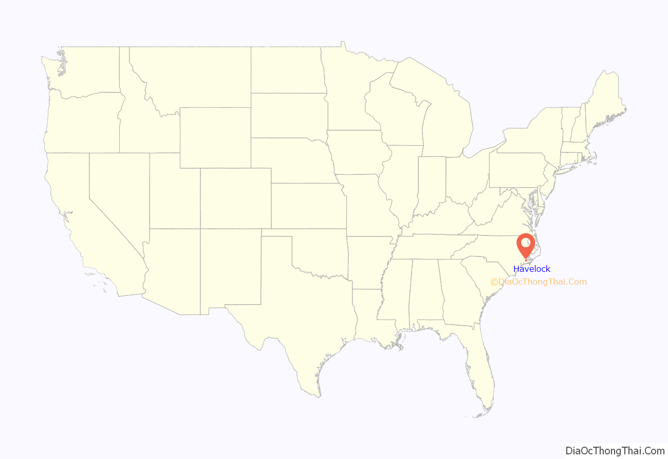
Havelock location map. Where is Havelock city?
History
Havelock is one of eight cities in the world named after Sir Henry Havelock, a British officer in India, who distinguished himself in 1857 during what was known as the Indian Mutiny. The area was originally named “Havelock Station” in the late 1850s, when the Atlantic and North Carolina Railroad built a depot where its right-of-way crossed what is now Miller Boulevard.
The town was the initial landing point for a Civil War battle known as the Battle of New Bern. On March 11, 1862, Brigadier General Ambrose Burnside’s command embarked from Roanoke Island to rendezvous with Union gunboats at Hatteras Inlet for an expedition against New Bern. On March 13, the fleet sailed up the Neuse River, anchored at Slocum Creek, and disembarked infantry on the river’s south bank. Elements of the Rhode Island Heavy Artillery came ashore near the present-day location of the Officers’ Club on Cherry Point Marine Corps Air Station and also near the Carolina Pines Golf and Country Club. After the capture of New Bern, the Federals transited Havelock on their way to the Battle of Fort Macon. Despite several Confederate attempts to reclaim New Bern and the surrounding area, the Federals did not withdraw until after the end of the war. During one of the attempts, however, the Union-built blockhouse fort on Havelock’s Slocom Creek was burned in 1864. A diorama model of the Civil War fort is on exhibit at the Havelock Tourist & Events Center along with other displays of Havelock and Cherry Point history.
Existing records indicate that the production of naval supplies including turpentine and tar were very important in the local economy during the 19th century. With the invention of the steam engine, the demand for tar and turpentine slowly evaporated as fewer wooden ships were constructed. Many distillers of turpentine turned to the production of moonshine to make ends meet.
In 1940, Havelock became the home of Marine Corps Air Station Cherry Point. MCAS Cherry Point’s Fleet Readiness Center East employs many residents of the town. In 1959 the town was officially established.
Jimmy Sanders served as the mayor of the city from 1987 until the election of former city commissioner William L. Lewis, Jr. in 2013 by a vote of 624–319.
A park in Havelock is named after Rep. Walter B. Jones, Jr.
In 2017, ex-convict Larry Lawton visited Havelock Middle School as part of the Drug Abuse Resistance Education program to explain the dangers of drug use and the consequences of a criminal life.
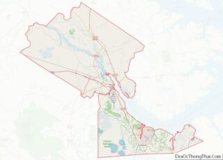
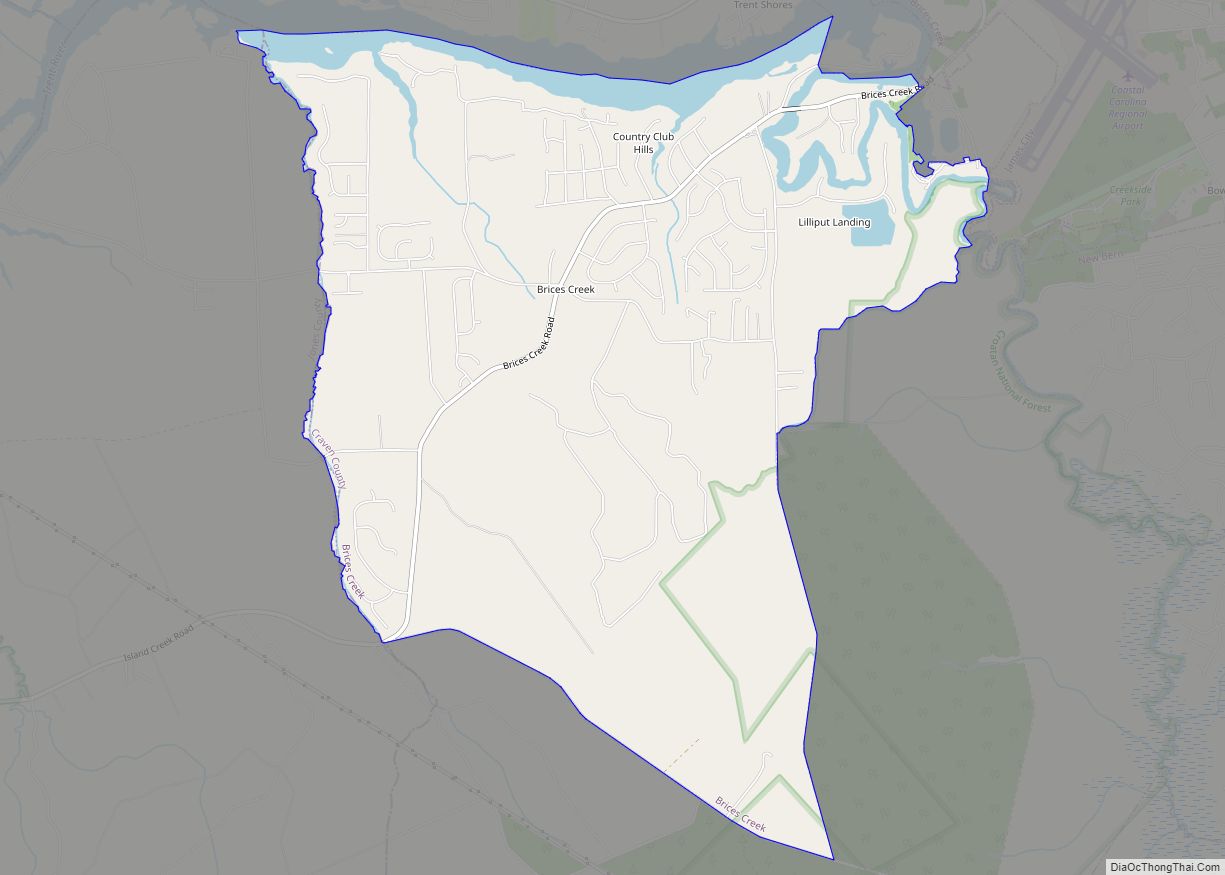
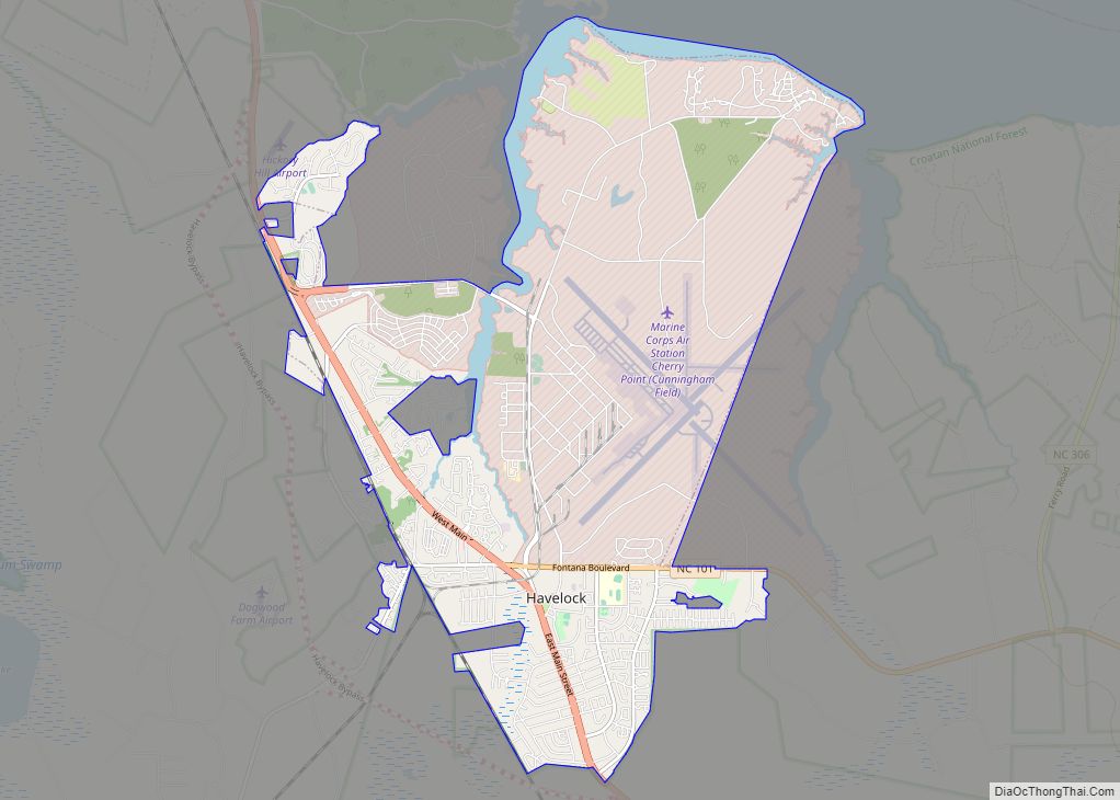
Havelock Road Map
Havelock city Satellite Map
Geography
Havelock is located in southern Craven County at 34°52′58″N 76°54′33″W / 34.88278°N 76.90917°W / 34.88278; -76.90917 (34.882736, -76.909230). The city limits encompass most of Marine Corps Air Station Cherry Point and extend as far north as the tidal Neuse River. Slocum Creek is a tidal inlet that extends south from the Neuse as far as the center of Havelock.
According to the United States Census Bureau, the city has a total area of 17.6 square miles (45.7 km), of which 16.8 square miles (43.6 km) is land and 0.81 square miles (2.1 km), or 4.56%, is water.
See also
Map of North Carolina State and its subdivision:- Alamance
- Alexander
- Alleghany
- Anson
- Ashe
- Avery
- Beaufort
- Bertie
- Bladen
- Brunswick
- Buncombe
- Burke
- Cabarrus
- Caldwell
- Camden
- Carteret
- Caswell
- Catawba
- Chatham
- Cherokee
- Chowan
- Clay
- Cleveland
- Columbus
- Craven
- Cumberland
- Currituck
- Dare
- Davidson
- Davie
- Duplin
- Durham
- Edgecombe
- Forsyth
- Franklin
- Gaston
- Gates
- Graham
- Granville
- Greene
- Guilford
- Halifax
- Harnett
- Haywood
- Henderson
- Hertford
- Hoke
- Hyde
- Iredell
- Jackson
- Johnston
- Jones
- Lee
- Lenoir
- Lincoln
- Macon
- Madison
- Martin
- McDowell
- Mecklenburg
- Mitchell
- Montgomery
- Moore
- Nash
- New Hanover
- Northampton
- Onslow
- Orange
- Pamlico
- Pasquotank
- Pender
- Perquimans
- Person
- Pitt
- Polk
- Randolph
- Richmond
- Robeson
- Rockingham
- Rowan
- Rutherford
- Sampson
- Scotland
- Stanly
- Stokes
- Surry
- Swain
- Transylvania
- Tyrrell
- Union
- Vance
- Wake
- Warren
- Washington
- Watauga
- Wayne
- Wilkes
- Wilson
- Yadkin
- Yancey
- Alabama
- Alaska
- Arizona
- Arkansas
- California
- Colorado
- Connecticut
- Delaware
- District of Columbia
- Florida
- Georgia
- Hawaii
- Idaho
- Illinois
- Indiana
- Iowa
- Kansas
- Kentucky
- Louisiana
- Maine
- Maryland
- Massachusetts
- Michigan
- Minnesota
- Mississippi
- Missouri
- Montana
- Nebraska
- Nevada
- New Hampshire
- New Jersey
- New Mexico
- New York
- North Carolina
- North Dakota
- Ohio
- Oklahoma
- Oregon
- Pennsylvania
- Rhode Island
- South Carolina
- South Dakota
- Tennessee
- Texas
- Utah
- Vermont
- Virginia
- Washington
- West Virginia
- Wisconsin
- Wyoming
