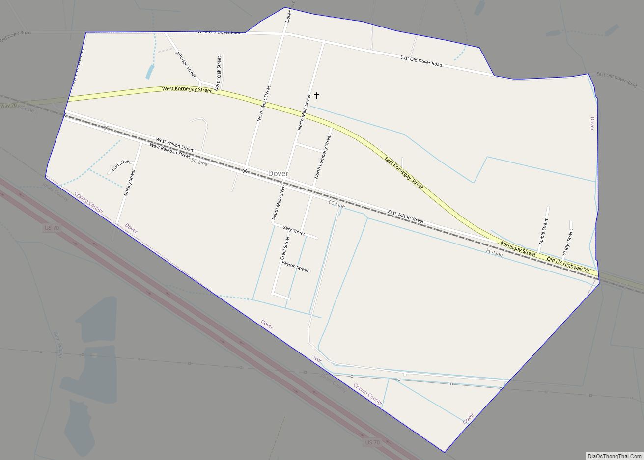
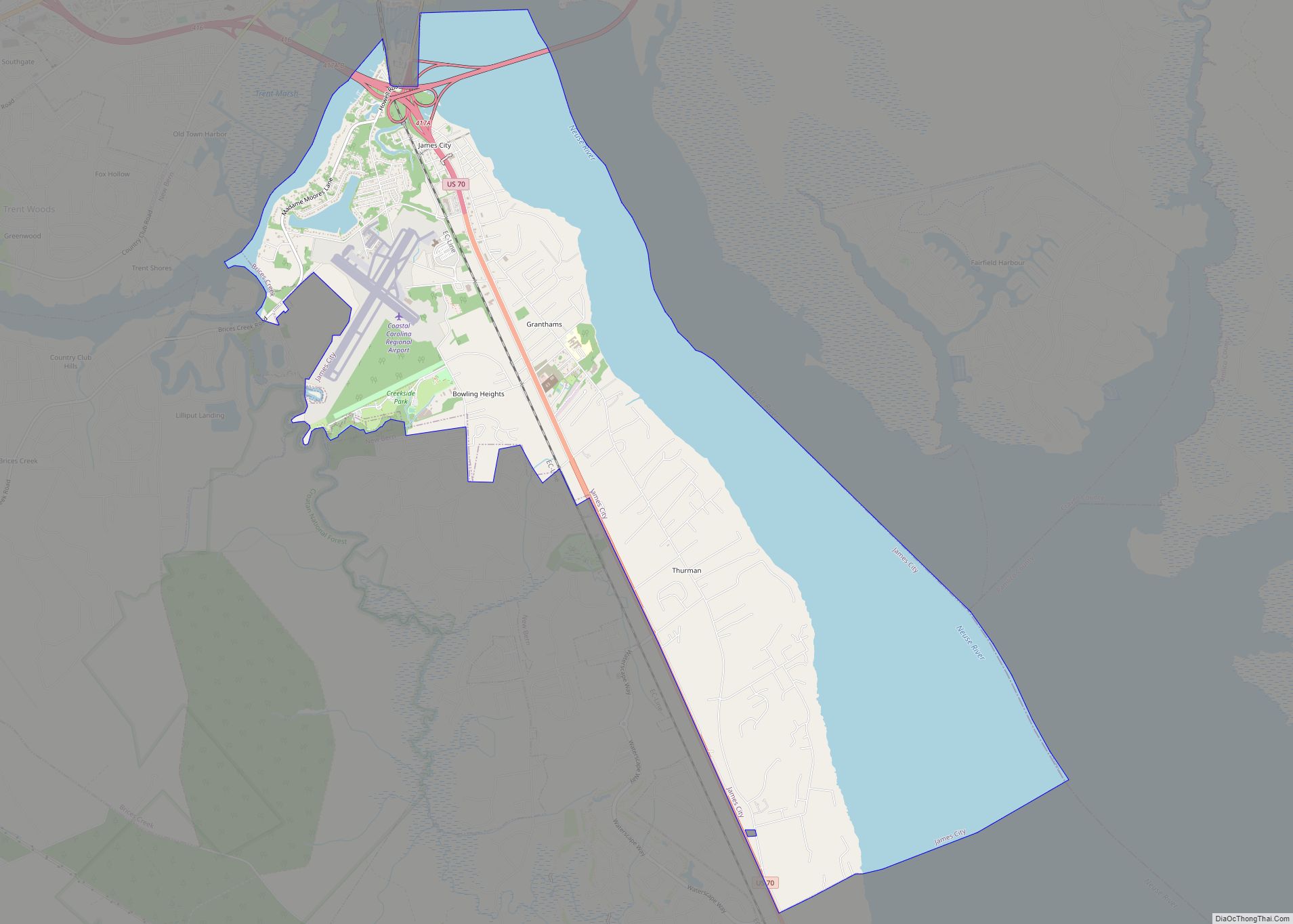
James City is an unincorporated area and census-designated place (CDP) in Craven County, North Carolina, United States. The population was 5,899 at the 2010 census. It is part of the New Bern, North Carolina Metropolitan Statistical Area.
| Name: | James City CDP |
|---|---|
| LSAD Code: | 57 |
| LSAD Description: | CDP (suffix) |
| State: | North Carolina |
| County: | Craven County |
| Elevation: | 13 ft (4 m) |
| Total Area: | 13.81 sq mi (35.76 km²) |
| Land Area: | 7.71 sq mi (19.97 km²) |
| Water Area: | 6.10 sq mi (15.79 km²) |
| Total Population: | 5,291 |
| Population Density: | 686.16/sq mi (264.93/km²) |
| FIPS code: | 3734260 |
| GNISfeature ID: | 1020930 |
Online Interactive Map
Click on ![]() to view map in "full screen" mode.
to view map in "full screen" mode.
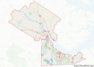
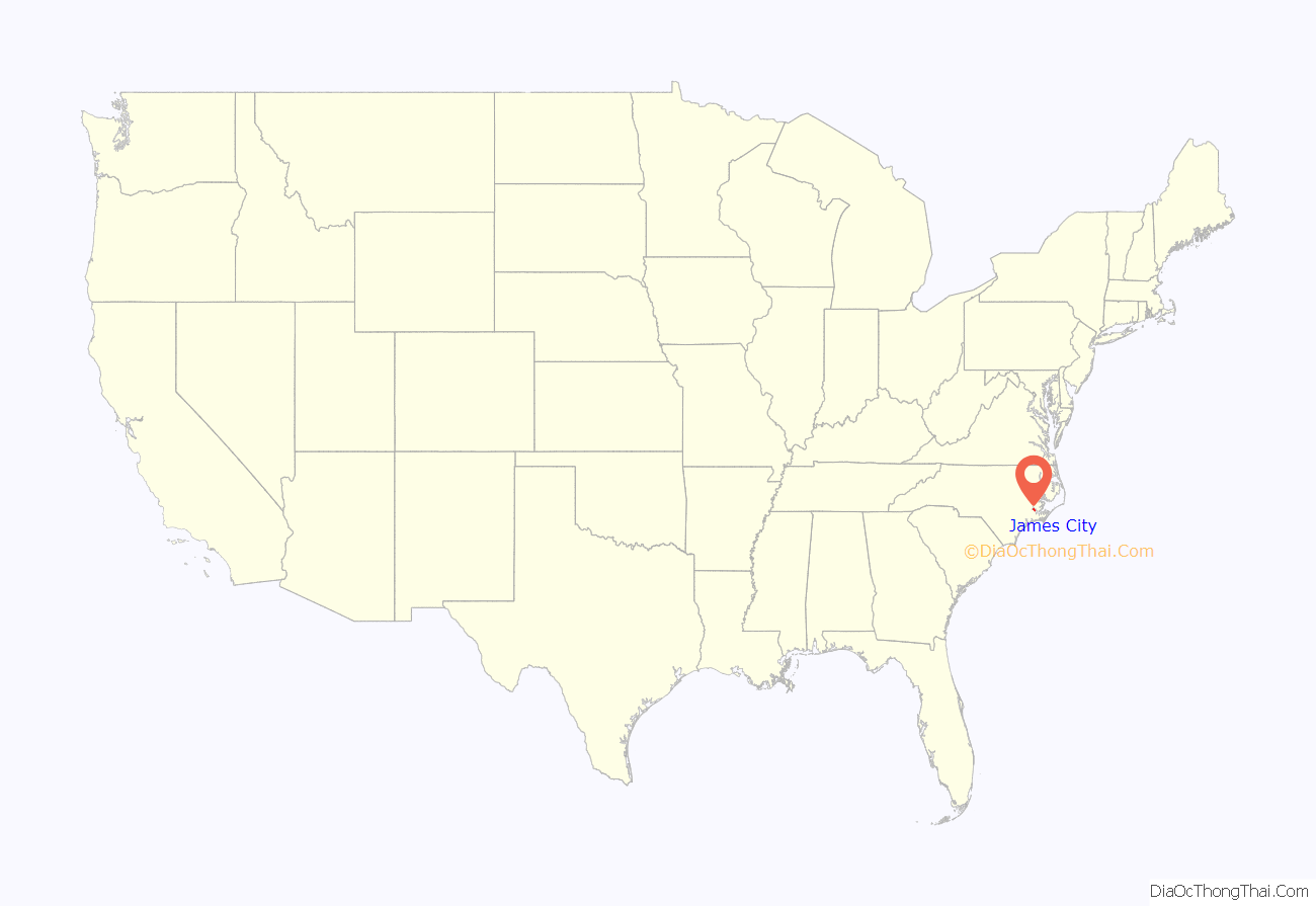
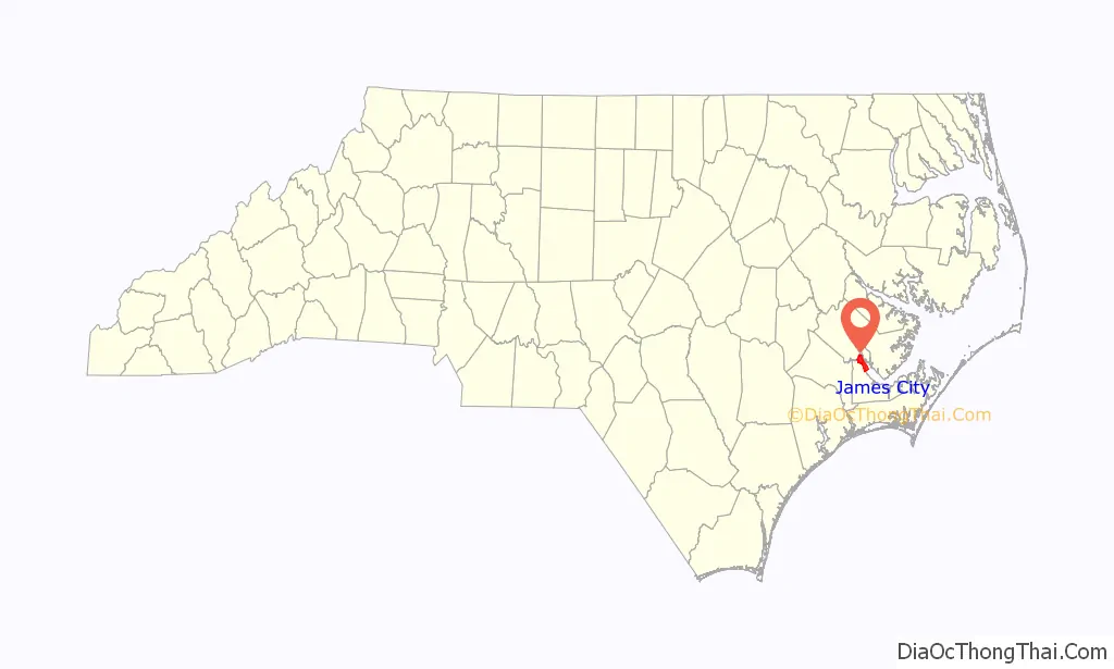
James City location map. Where is James City CDP?
History
James City was developed during the American Civil War when Union forces, occupying nearby New Bern, constructed a resettlement camp for freed slaves on land belonging to Confederate Army Colonel Peter G. Evans. Originally referred to as the Trent River Settlement, by 1865 it had been renamed James City, after its founder, Union Army chaplain Horace James, superintendent of Negro affairs and agent for the Bureau of Freedmen, Refugees, and Abandoned Lands.
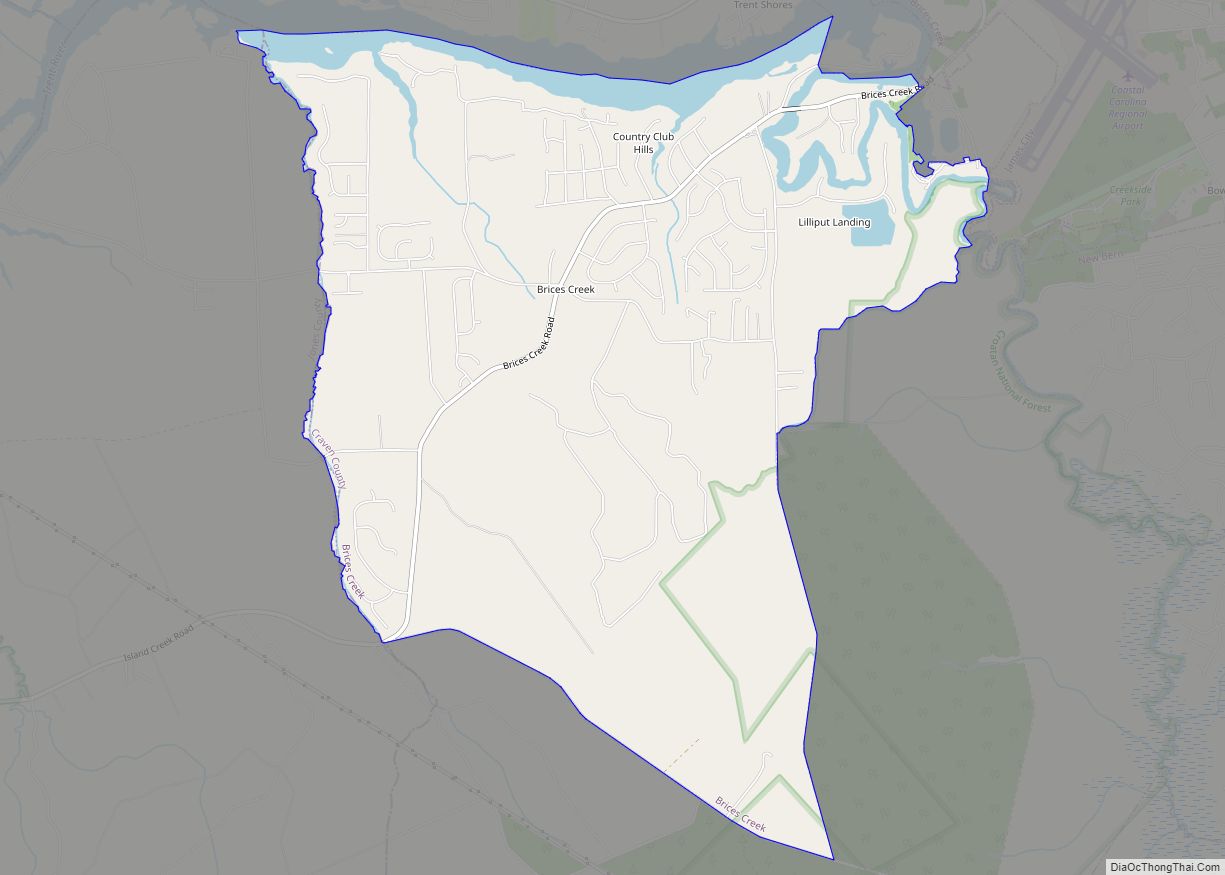
James City Road Map
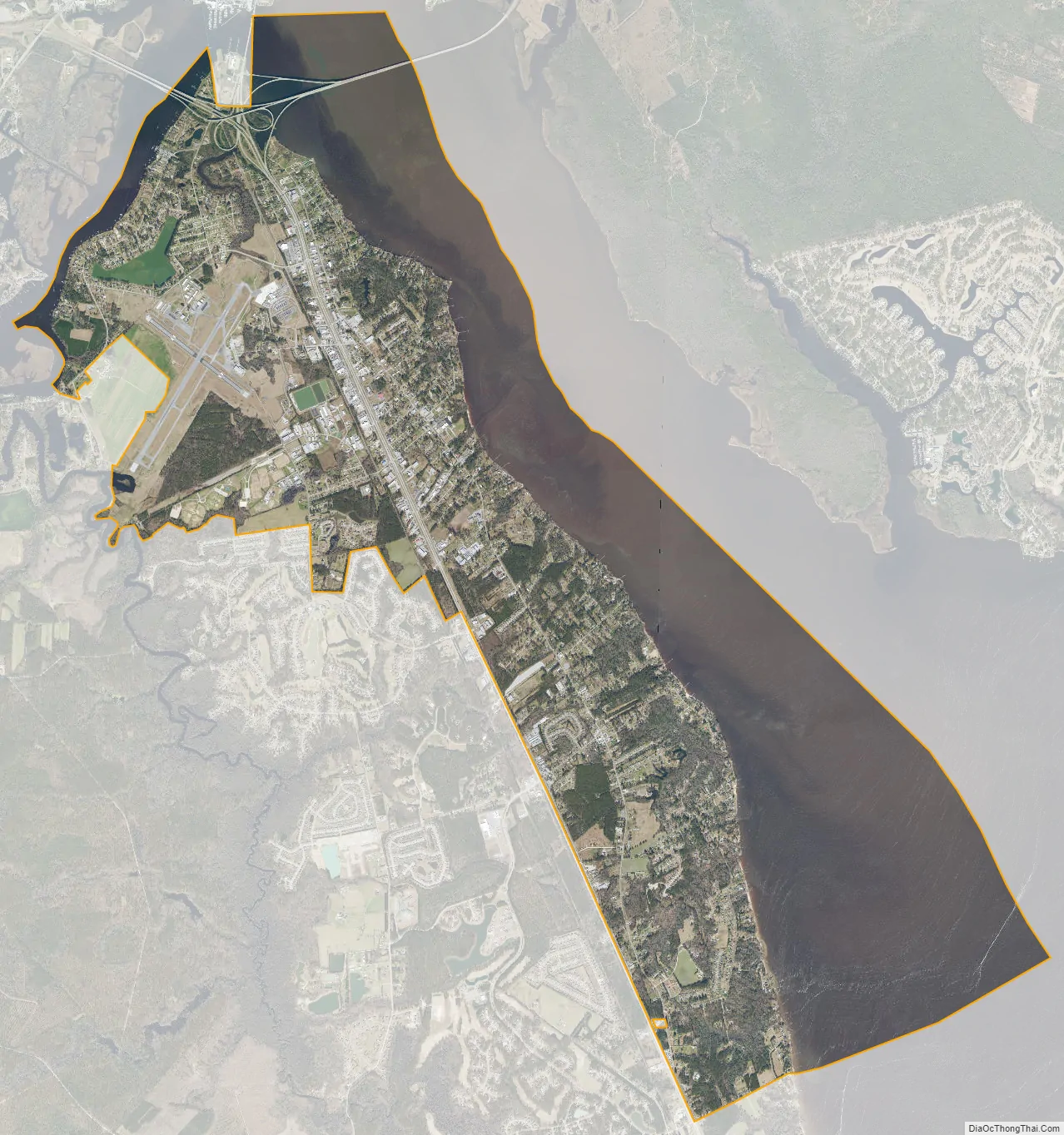
James City city Satellite Map
Geography
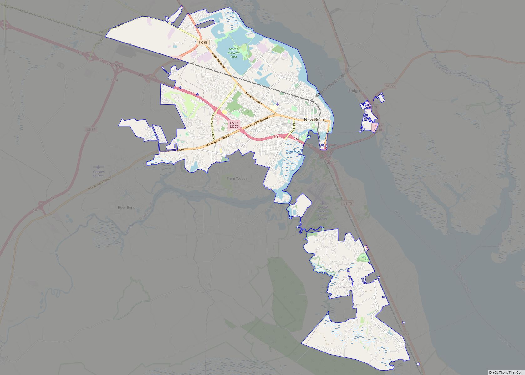
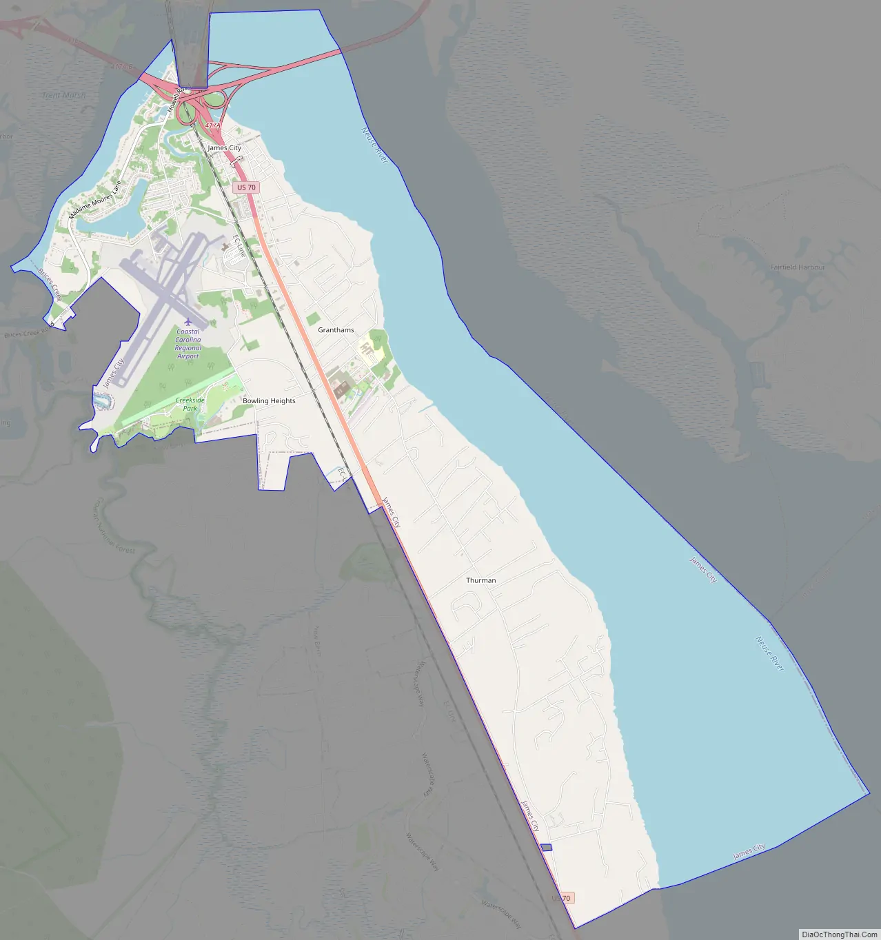
James City is located in central Craven County at 35°4′31″N 77°1′36″W / 35.07528°N 77.02667°W / 35.07528; -77.02667 (35.075400, -77.026631), along the west bank of the tidal Neuse River. It is bordered to the north by the city of New Bern, the county seat, across the Trent River, a tributary of the Neuse. To the west are the unincorporated community of Brices Creek, and a more recently annexed portion of New Bern. Coastal Carolina Regional Airport is in the northwestern part of the CDP.
According to the United States Census Bureau, James City has a total area of 13.9 square miles (35.9 km), of which 7.6 square miles (19.7 km) is land and 6.3 square miles (16.3 km), or 45.34%, is water.
See also
Map of North Carolina State and its subdivision:- Alamance
- Alexander
- Alleghany
- Anson
- Ashe
- Avery
- Beaufort
- Bertie
- Bladen
- Brunswick
- Buncombe
- Burke
- Cabarrus
- Caldwell
- Camden
- Carteret
- Caswell
- Catawba
- Chatham
- Cherokee
- Chowan
- Clay
- Cleveland
- Columbus
- Craven
- Cumberland
- Currituck
- Dare
- Davidson
- Davie
- Duplin
- Durham
- Edgecombe
- Forsyth
- Franklin
- Gaston
- Gates
- Graham
- Granville
- Greene
- Guilford
- Halifax
- Harnett
- Haywood
- Henderson
- Hertford
- Hoke
- Hyde
- Iredell
- Jackson
- Johnston
- Jones
- Lee
- Lenoir
- Lincoln
- Macon
- Madison
- Martin
- McDowell
- Mecklenburg
- Mitchell
- Montgomery
- Moore
- Nash
- New Hanover
- Northampton
- Onslow
- Orange
- Pamlico
- Pasquotank
- Pender
- Perquimans
- Person
- Pitt
- Polk
- Randolph
- Richmond
- Robeson
- Rockingham
- Rowan
- Rutherford
- Sampson
- Scotland
- Stanly
- Stokes
- Surry
- Swain
- Transylvania
- Tyrrell
- Union
- Vance
- Wake
- Warren
- Washington
- Watauga
- Wayne
- Wilkes
- Wilson
- Yadkin
- Yancey
- Alabama
- Alaska
- Arizona
- Arkansas
- California
- Colorado
- Connecticut
- Delaware
- District of Columbia
- Florida
- Georgia
- Hawaii
- Idaho
- Illinois
- Indiana
- Iowa
- Kansas
- Kentucky
- Louisiana
- Maine
- Maryland
- Massachusetts
- Michigan
- Minnesota
- Mississippi
- Missouri
- Montana
- Nebraska
- Nevada
- New Hampshire
- New Jersey
- New Mexico
- New York
- North Carolina
- North Dakota
- Ohio
- Oklahoma
- Oregon
- Pennsylvania
- Rhode Island
- South Carolina
- South Dakota
- Tennessee
- Texas
- Utah
- Vermont
- Virginia
- Washington
- West Virginia
- Wisconsin
- Wyoming