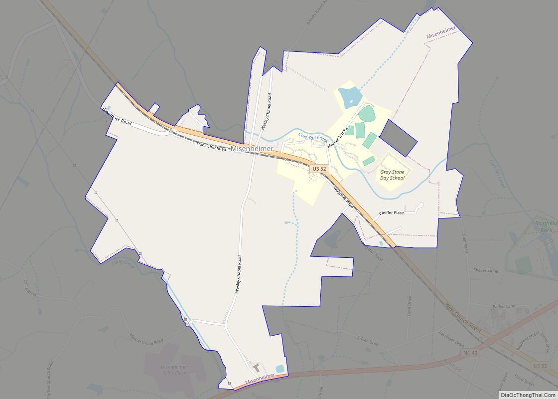
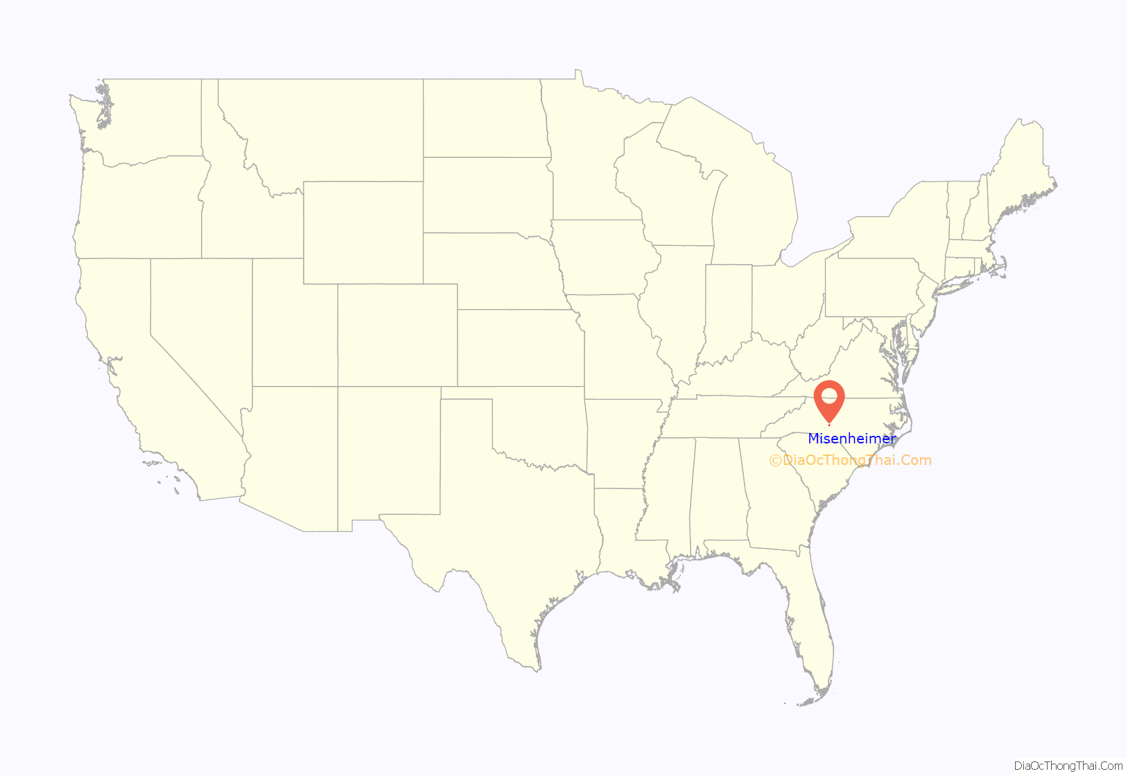
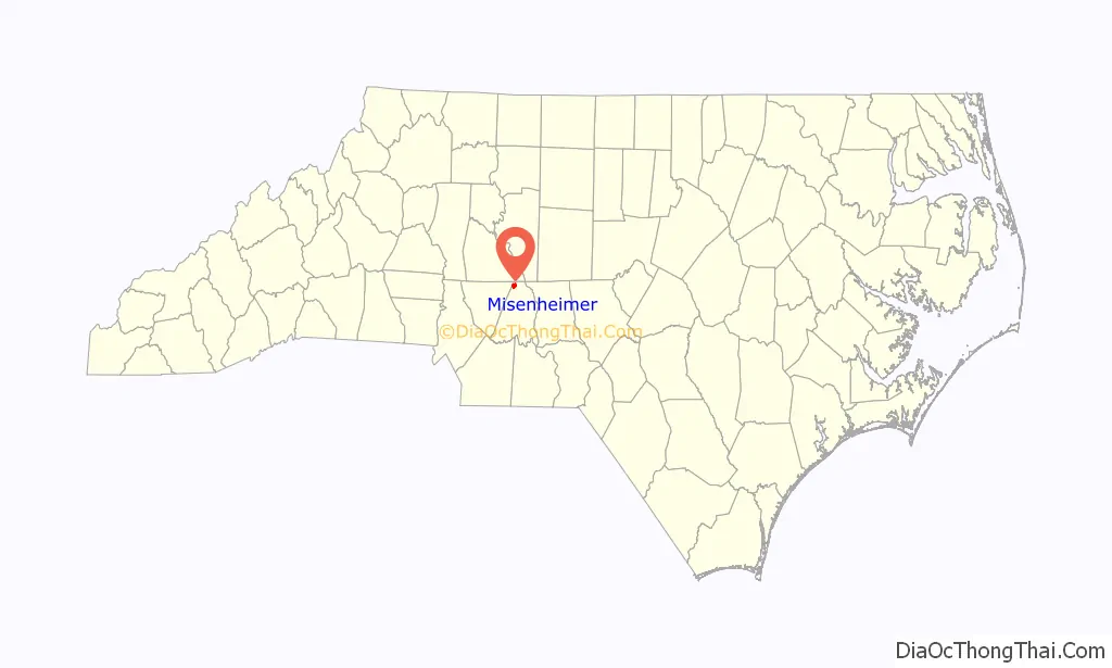
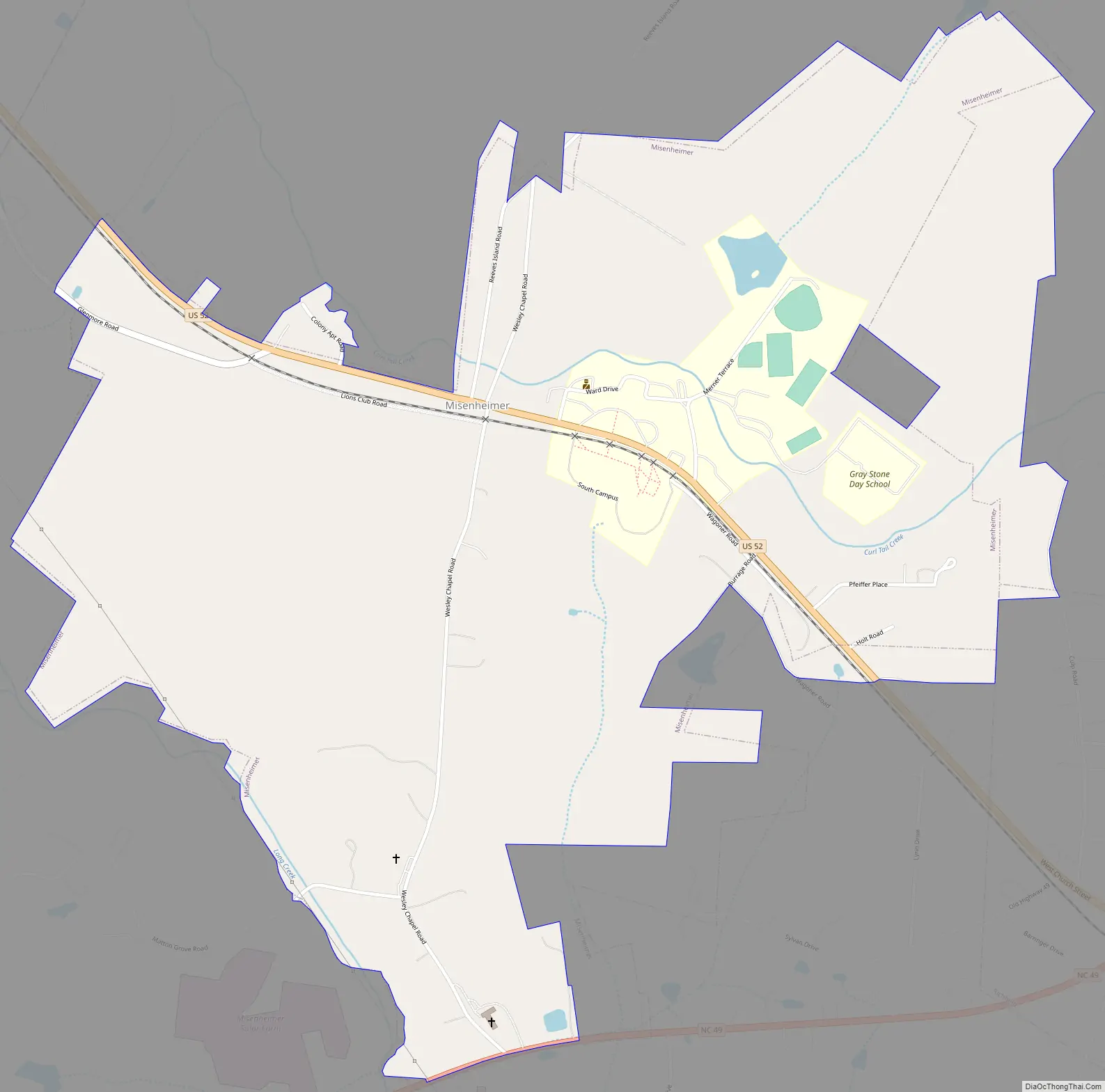
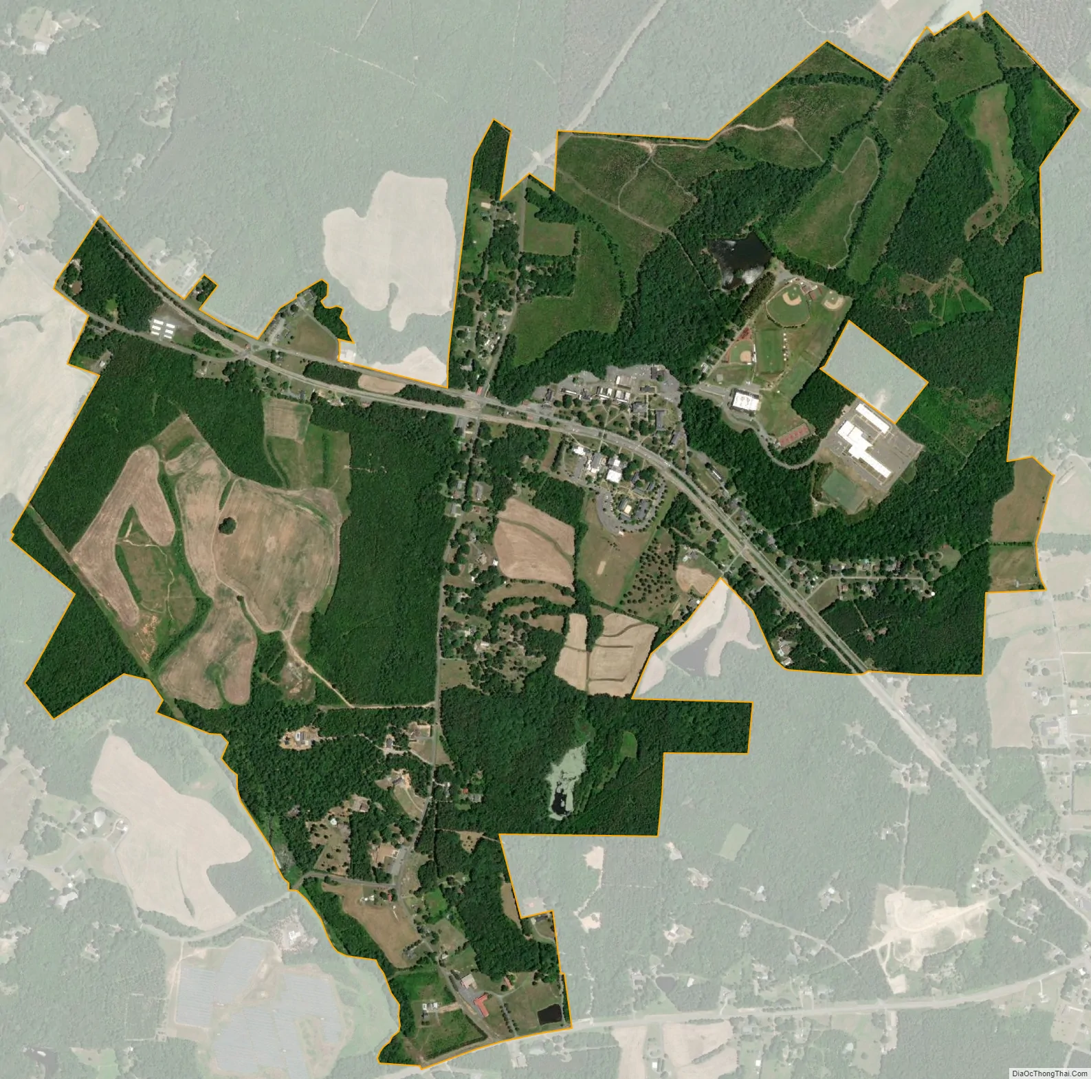
Misenheimer is an incorporated village in Stanly County, North Carolina, United States. It is in the southern Piedmont region of North Carolina, near the city of Richfield. The population was 728 as of the 2010 Census.
The college town is dominated by the main campus of Pfeiffer University, a university which was upgraded from a high school to a college largely due to financial support by Henry and Annie Merner Pfeiffer. Pfeiffer also housed Gray Stone Day School, a charter high school. On January 6, 2011, Gray Stone moved to its new campus on what was previously Pfeiffer land in the town.
U.S. Route 52 passes through Misenheimer along its route from Salisbury to Albemarle, and bisects the Pfeiffer campus along with a Norfolk Southern Railroad line. Misenheimer may have been the only municipality in America whose only traffic light is not at an intersection of two or more streets, but at a crosswalk to accommodate pedestrian traffic (the crosswalk being across US 52 connecting the two parts of Pfeiffer’s campus on opposite sides of the highway).
| Name: | Misenheimer village |
|---|---|
| LSAD Code: | 47 |
| LSAD Description: | village (suffix) |
| State: | North Carolina |
| County: | Stanly County |
| FIPS code: | 3743580 |
Online Interactive Map
Click on ![]() to view map in "full screen" mode.
to view map in "full screen" mode.
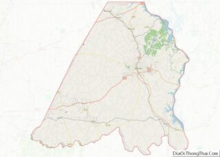
Misenheimer location map. Where is Misenheimer village?
History
In 1825, Matthias Tobias Barringer discovered gold nuggets along a section of Long Creek that ran through his farm. He found $8,000 worth of gold ($179,000 in 2020 dollars), and eventually the country’s first gold vein in quartz. Newspapers in 24 states reported the find, and North Carolina’s gold rush began. Meanwhile, Barringer was sued because of uncertainty over whether he owned the land he mined; he won the case in the 1880s. By 1888, new owners were working the mine and they moved Long Creek. In 1903, the Whitney Company, which was also working on damming the Yadkin River, bought the mine. Workers removed six tons of ore worth $20,000 per ton ($640,000 in 2020) and much more was still available. The gold financed the Yadkin River project. However, on August 11, 1904, a flood caused the deaths of eight men in the mine, and it eventually shut down, not to reopen until 1998.
Incorporation resulted June 26, 2003 from a bill passed by the North Carolina General Assembly. A major reason for the action was the planned widening of U.S. 52 and N.C. 49, expected to bring growth to the area. One of the first actions taken by the interim board was to block heavy industry such as re-opening the former Barringer gold mine by Joe Carter, who owned about 250 acres, or about a fourth of the village land, but did not live in the community. Carter had been working to restart the mine since 1998, and county commissioners stopped his plan for a quarry after residents protested, but Peter Edquist, a leader of the incorporation effort and the first mayor, denied that the mine was the reason for incorporation.
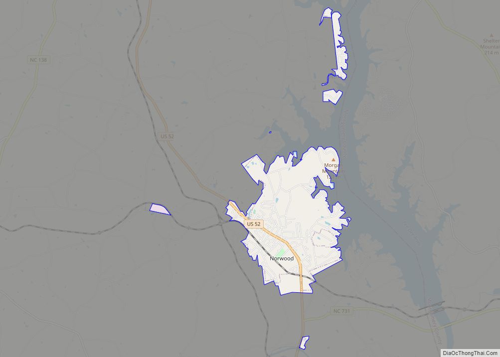
Misenheimer Road Map
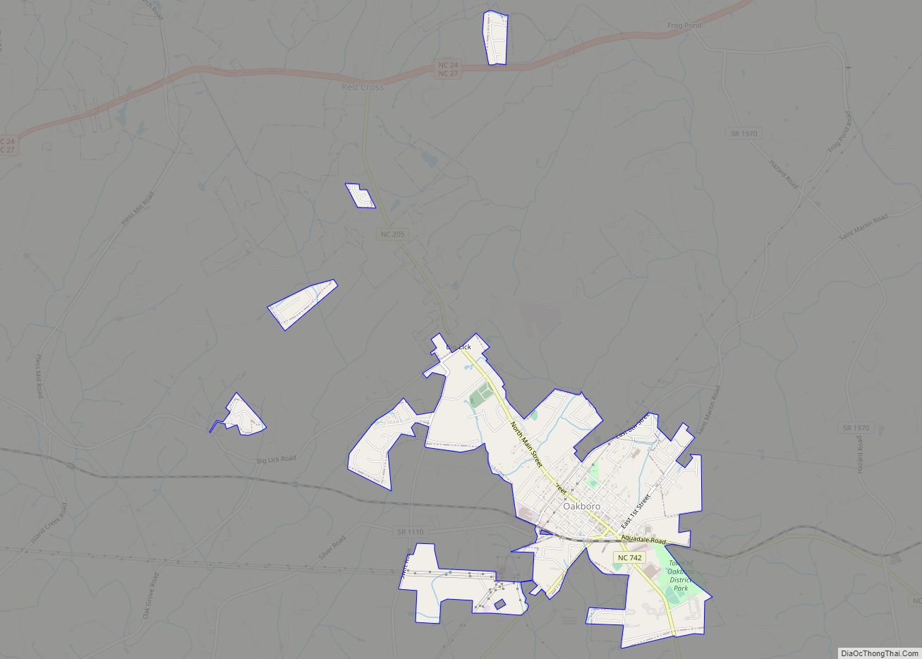
Misenheimer city Satellite Map
See also
Map of North Carolina State and its subdivision:- Alamance
- Alexander
- Alleghany
- Anson
- Ashe
- Avery
- Beaufort
- Bertie
- Bladen
- Brunswick
- Buncombe
- Burke
- Cabarrus
- Caldwell
- Camden
- Carteret
- Caswell
- Catawba
- Chatham
- Cherokee
- Chowan
- Clay
- Cleveland
- Columbus
- Craven
- Cumberland
- Currituck
- Dare
- Davidson
- Davie
- Duplin
- Durham
- Edgecombe
- Forsyth
- Franklin
- Gaston
- Gates
- Graham
- Granville
- Greene
- Guilford
- Halifax
- Harnett
- Haywood
- Henderson
- Hertford
- Hoke
- Hyde
- Iredell
- Jackson
- Johnston
- Jones
- Lee
- Lenoir
- Lincoln
- Macon
- Madison
- Martin
- McDowell
- Mecklenburg
- Mitchell
- Montgomery
- Moore
- Nash
- New Hanover
- Northampton
- Onslow
- Orange
- Pamlico
- Pasquotank
- Pender
- Perquimans
- Person
- Pitt
- Polk
- Randolph
- Richmond
- Robeson
- Rockingham
- Rowan
- Rutherford
- Sampson
- Scotland
- Stanly
- Stokes
- Surry
- Swain
- Transylvania
- Tyrrell
- Union
- Vance
- Wake
- Warren
- Washington
- Watauga
- Wayne
- Wilkes
- Wilson
- Yadkin
- Yancey
- Alabama
- Alaska
- Arizona
- Arkansas
- California
- Colorado
- Connecticut
- Delaware
- District of Columbia
- Florida
- Georgia
- Hawaii
- Idaho
- Illinois
- Indiana
- Iowa
- Kansas
- Kentucky
- Louisiana
- Maine
- Maryland
- Massachusetts
- Michigan
- Minnesota
- Mississippi
- Missouri
- Montana
- Nebraska
- Nevada
- New Hampshire
- New Jersey
- New Mexico
- New York
- North Carolina
- North Dakota
- Ohio
- Oklahoma
- Oregon
- Pennsylvania
- Rhode Island
- South Carolina
- South Dakota
- Tennessee
- Texas
- Utah
- Vermont
- Virginia
- Washington
- West Virginia
- Wisconsin
- Wyoming