Mount Olive is a town in Duplin and Wayne counties in the U.S. state of North Carolina. The population was 4,589 at the 2010 census. It is included in the Goldsboro, North Carolina Metropolitan Statistical Area. The town is home to the Mt. Olive Pickle Company and the University of Mount Olive.
| Name: | Mount Olive town |
|---|---|
| LSAD Code: | 43 |
| LSAD Description: | town (suffix) |
| State: | North Carolina |
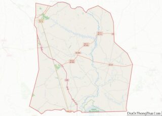
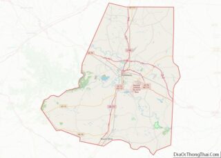
| County: | Duplin County, Wayne County |
| Elevation: | 161 ft (49 m) |
| Total Area: | 2.74 sq mi (7.09 km²) |
| Land Area: | 2.74 sq mi (7.09 km²) |
| Water Area: | 0.00 sq mi (0.00 km²) |
| Total Population: | 4,198 |
| Population Density: | 1,533.24/sq mi (591.92/km²) |
| ZIP code: | 28365 |
| Area code: | 919 |
| FIPS code: | 3745100 |
| GNISfeature ID: | 0990457 |
| Website: | www.townofmountolivenc.org |
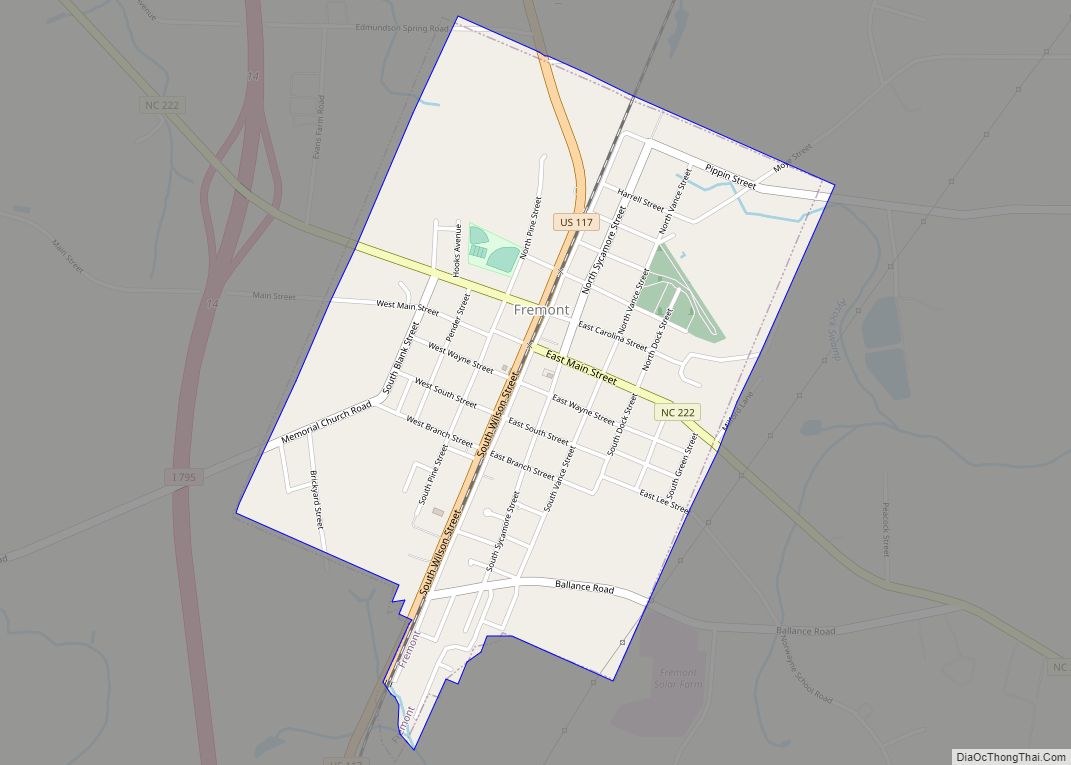
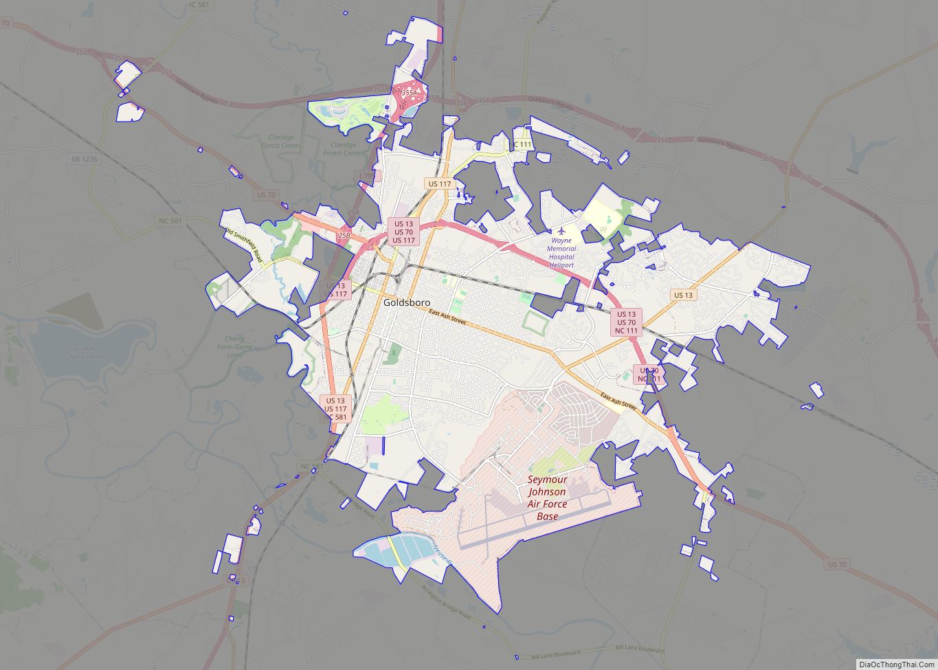
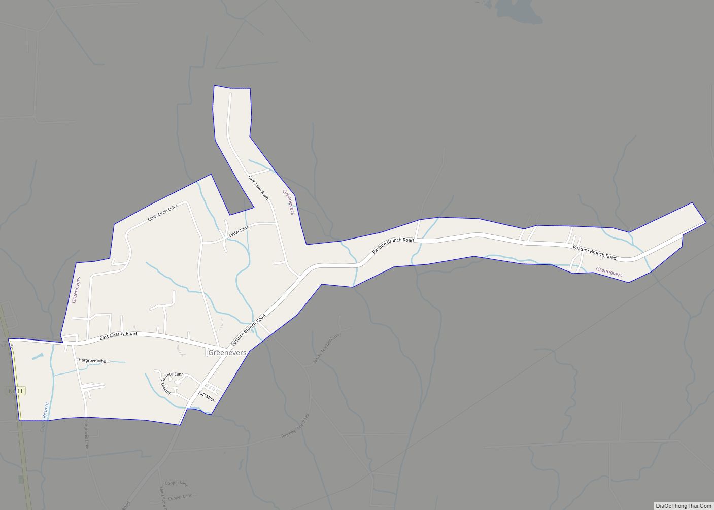
Online Interactive Map
Click on ![]() to view map in "full screen" mode.
to view map in "full screen" mode.
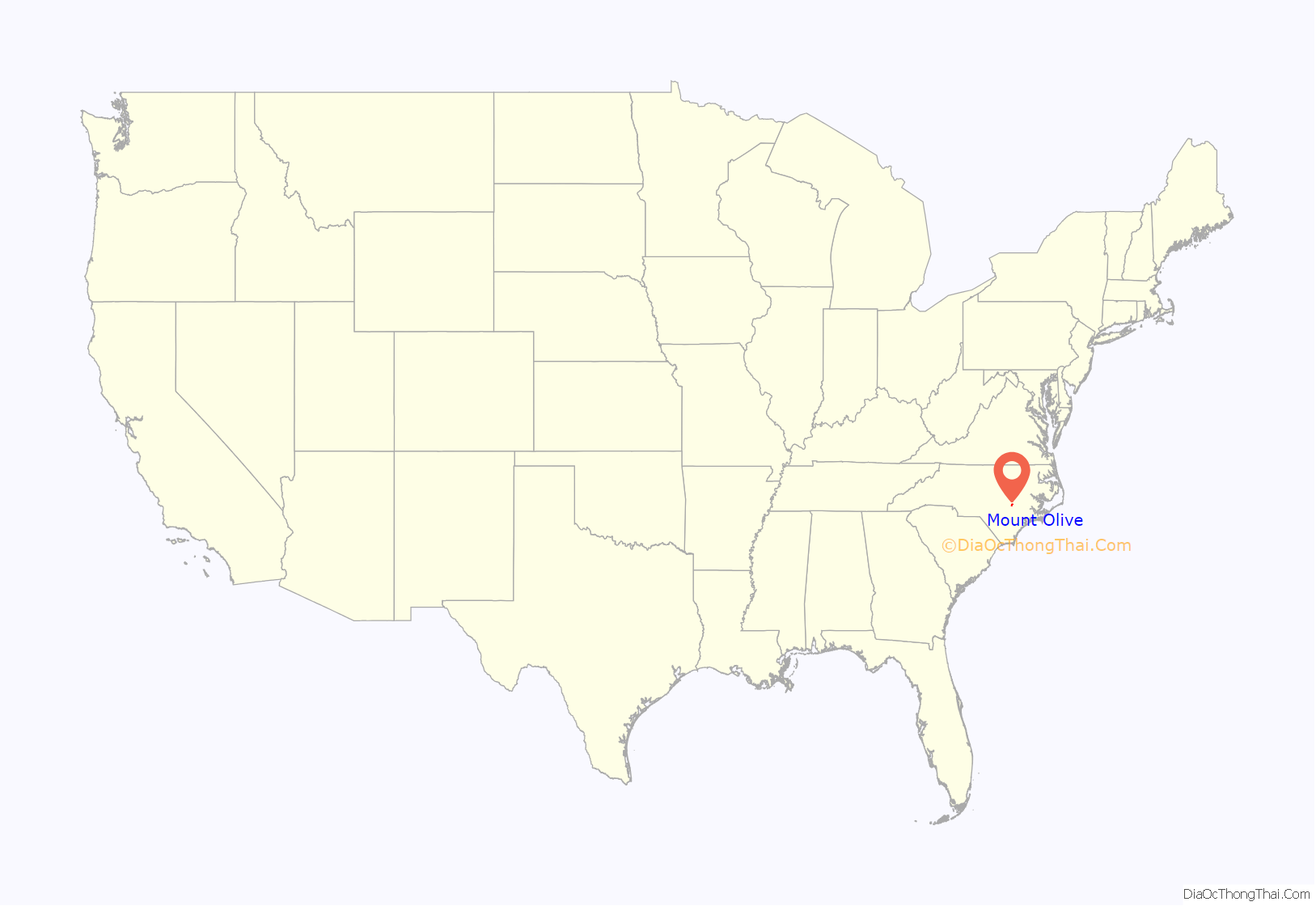
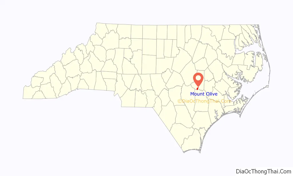
Mount Olive location map. Where is Mount Olive town?
History
The Mount Olive High School (Former), Mount Olive Historic District, Perry-Cherry House, Southerland-Burnette House, former United States Post Office, and Vernon are listed on the National Register of Historic Places.
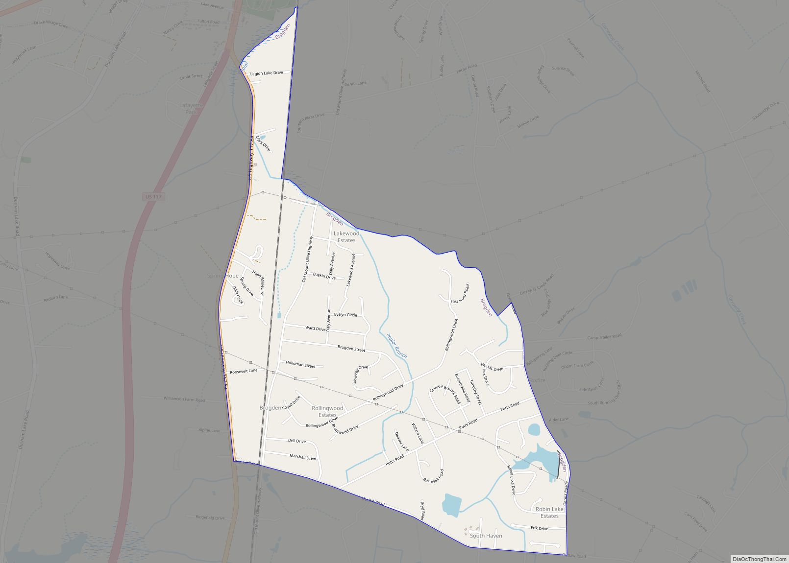
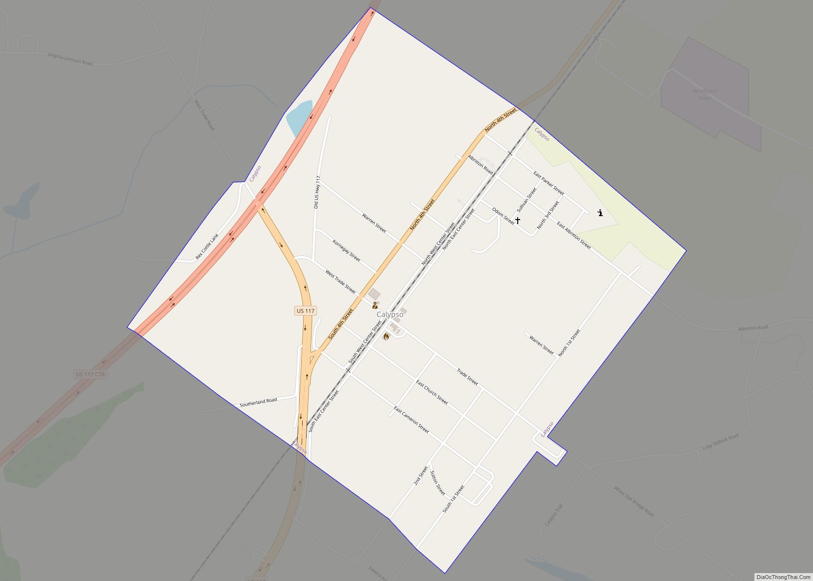
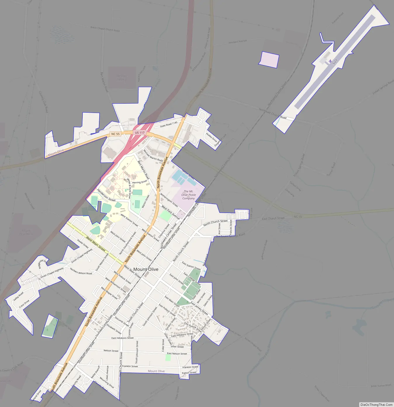
Mount Olive Road Map
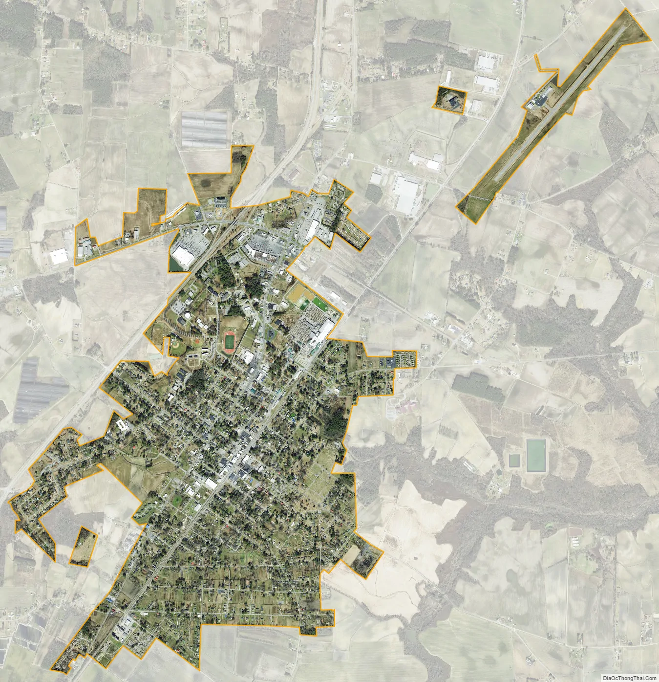
Mount Olive city Satellite Map
Geography
Mount Olive is located in southern Wayne County at 35°11′42″N 78°4′3″W / 35.19500°N 78.06750°W / 35.19500; -78.06750 (35.195086, -78.067528). A small portion of the town extends south into Duplin County.
U.S. Route 117, a four-lane highway, runs along the western edge of Mount Olive, leading north 14 miles (23 km) to Goldsboro and south 15 miles (24 km) to Warsaw. North Carolina Highway 55, which crosses US 117 at the northern end of town, leads east 31 miles (50 km) to Kinston and west 17 miles (27 km) to Newton Grove.
According to the United States Census Bureau, the town of Mount Olive has a total area of 2.7 square miles (6.9 km), all land.
Mount Olive is part of the Atlantic coastal plain region.
See also
Map of North Carolina State and its subdivision:- Alamance
- Alexander
- Alleghany
- Anson
- Ashe
- Avery
- Beaufort
- Bertie
- Bladen
- Brunswick
- Buncombe
- Burke
- Cabarrus
- Caldwell
- Camden
- Carteret
- Caswell
- Catawba
- Chatham
- Cherokee
- Chowan
- Clay
- Cleveland
- Columbus
- Craven
- Cumberland
- Currituck
- Dare
- Davidson
- Davie
- Duplin
- Durham
- Edgecombe
- Forsyth
- Franklin
- Gaston
- Gates
- Graham
- Granville
- Greene
- Guilford
- Halifax
- Harnett
- Haywood
- Henderson
- Hertford
- Hoke
- Hyde
- Iredell
- Jackson
- Johnston
- Jones
- Lee
- Lenoir
- Lincoln
- Macon
- Madison
- Martin
- McDowell
- Mecklenburg
- Mitchell
- Montgomery
- Moore
- Nash
- New Hanover
- Northampton
- Onslow
- Orange
- Pamlico
- Pasquotank
- Pender
- Perquimans
- Person
- Pitt
- Polk
- Randolph
- Richmond
- Robeson
- Rockingham
- Rowan
- Rutherford
- Sampson
- Scotland
- Stanly
- Stokes
- Surry
- Swain
- Transylvania
- Tyrrell
- Union
- Vance
- Wake
- Warren
- Washington
- Watauga
- Wayne
- Wilkes
- Wilson
- Yadkin
- Yancey
- Alabama
- Alaska
- Arizona
- Arkansas
- California
- Colorado
- Connecticut
- Delaware
- District of Columbia
- Florida
- Georgia
- Hawaii
- Idaho
- Illinois
- Indiana
- Iowa
- Kansas
- Kentucky
- Louisiana
- Maine
- Maryland
- Massachusetts
- Michigan
- Minnesota
- Mississippi
- Missouri
- Montana
- Nebraska
- Nevada
- New Hampshire
- New Jersey
- New Mexico
- New York
- North Carolina
- North Dakota
- Ohio
- Oklahoma
- Oregon
- Pennsylvania
- Rhode Island
- South Carolina
- South Dakota
- Tennessee
- Texas
- Utah
- Vermont
- Virginia
- Washington
- West Virginia
- Wisconsin
- Wyoming