Newton Grove, chartered in 1879, is a town in Sampson County, North Carolina, United States. The population was 569 as of the 2010 census.
| Name: | Newton Grove town |
|---|---|
| LSAD Code: | 43 |
| LSAD Description: | town (suffix) |
| State: | North Carolina |
| County: | Sampson County |
| Elevation: | 180 ft (55 m) |
| Total Area: | 3.10 sq mi (8.02 km²) |
| Land Area: | 3.08 sq mi (7.98 km²) |
| Water Area: | 0.01 sq mi (0.04 km²) |
| Total Population: | 585 |
| Population Density: | 189.81/sq mi (73.29/km²) |
| ZIP code: | 28366 |
| FIPS code: | 3747020 |
| GNISfeature ID: | 1025580 |
| Website: | http://www.newtongrove.net/ |
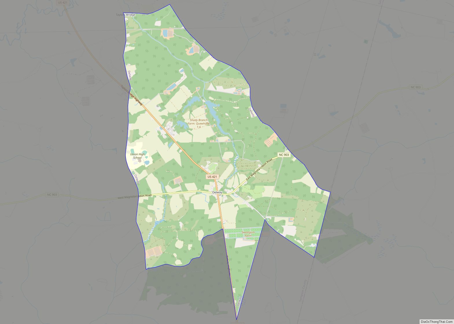
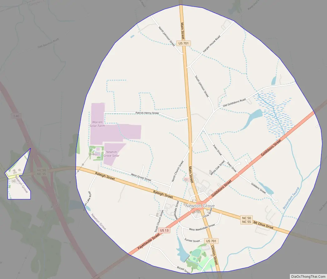
Online Interactive Map
Click on ![]() to view map in "full screen" mode.
to view map in "full screen" mode.
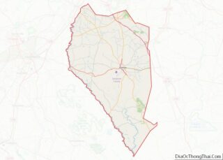
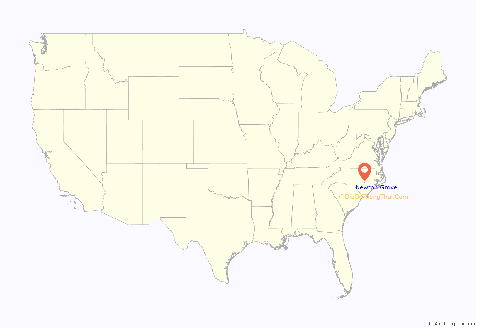
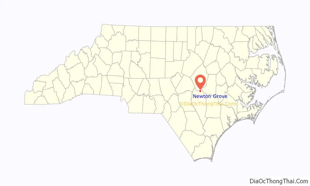
Newton Grove location map. Where is Newton Grove town?
History
The town of Newton Grove was first incorporated in 1879 as the New Town at the Grove, because of the prominent oak grove, then again in 1935 as Newton Grove. A mayor and five commissioners make up the government of Newton Grove.
Early courthouse records of Sampson County show that the Newton Grove post office was once known as Blackman’s Store. Another post office six miles west of Newton Grove was known as Blackman’s Mills from 1858 to 1914. The Blackman family were affluent planters who settled in the area in the early 18th century. They were descendants of Jeremiah Blackman, mariner of London who captained several ships that brought English settlers to the Colony of Virginia in the 17th century.
During the Civil War, the Battle of Bentonville was fought nearby.
Thirteen Oaks and the Isaac Williams House are listed on the National Register of Historic Places.
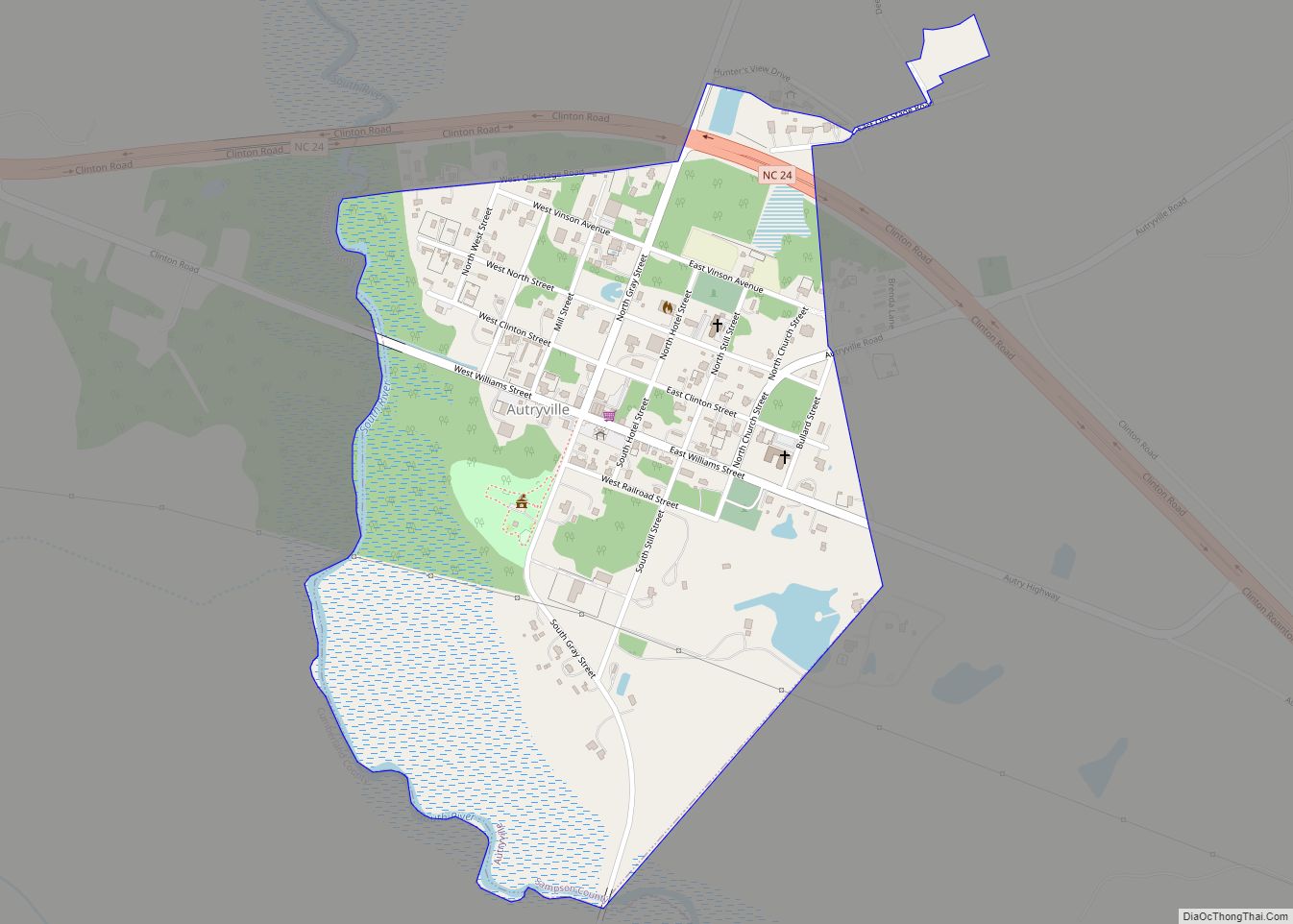
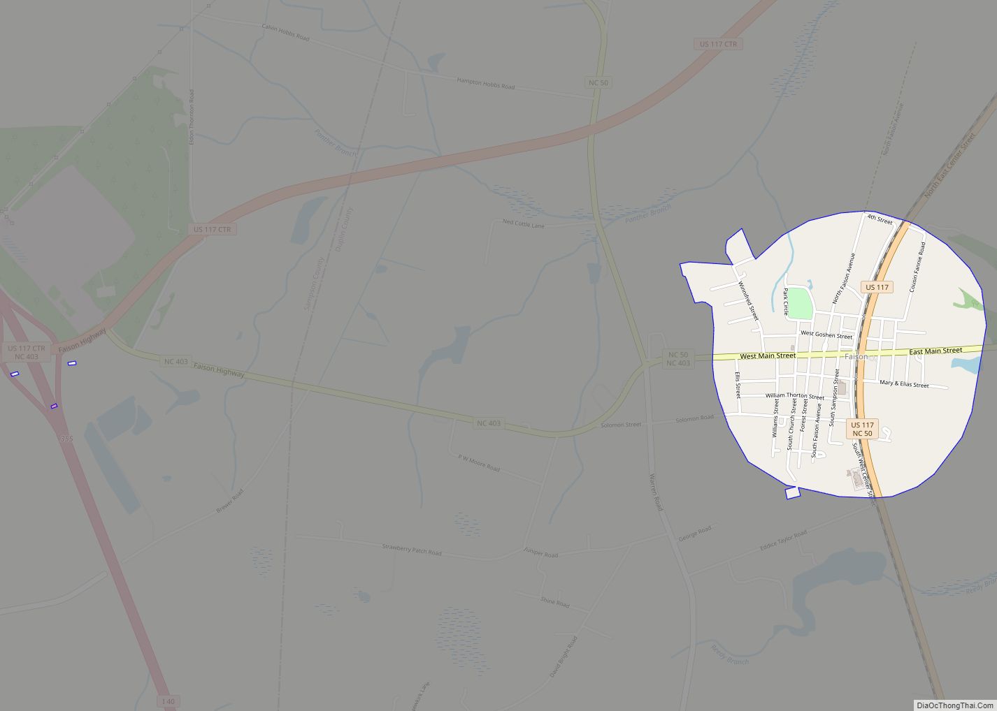
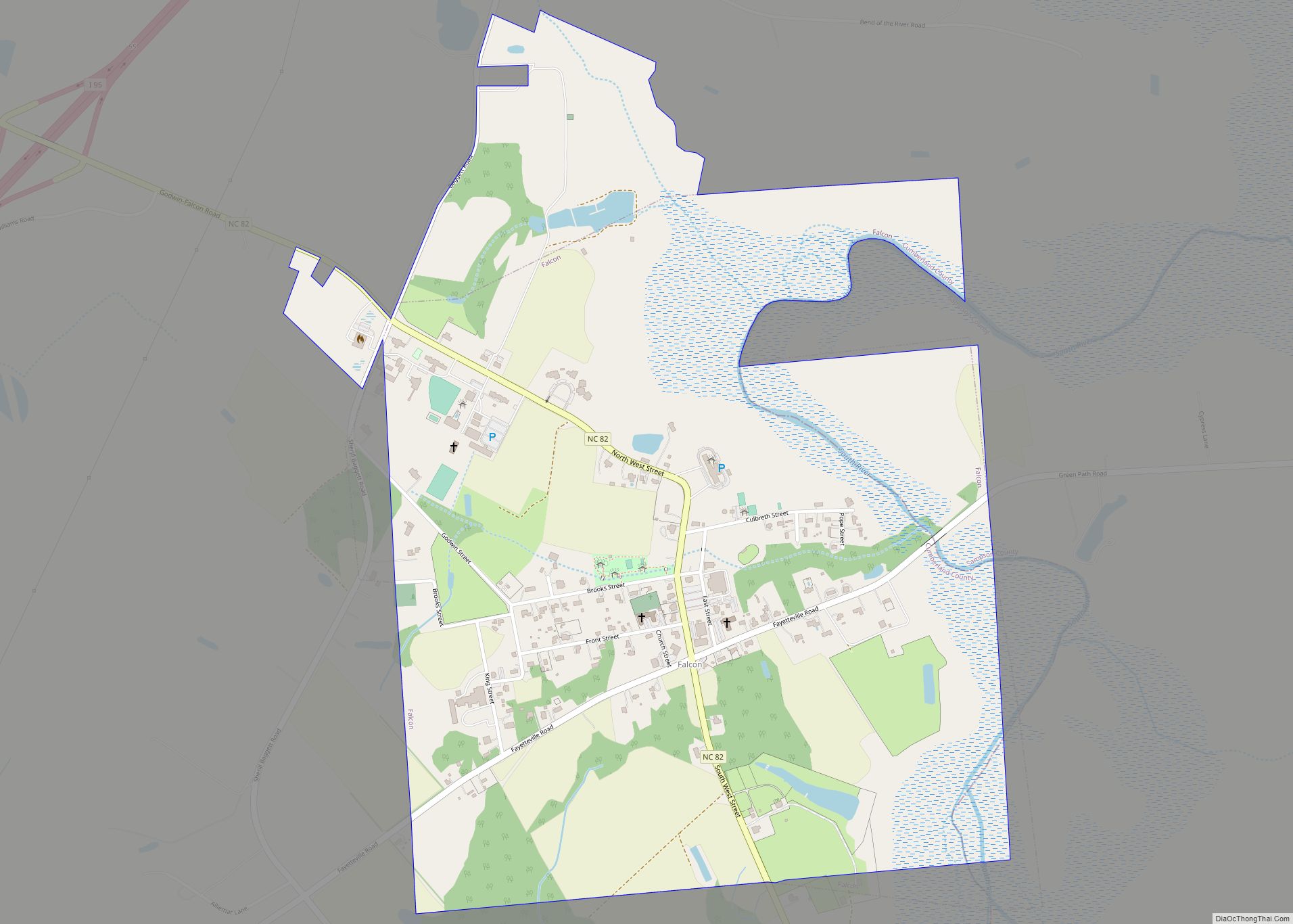
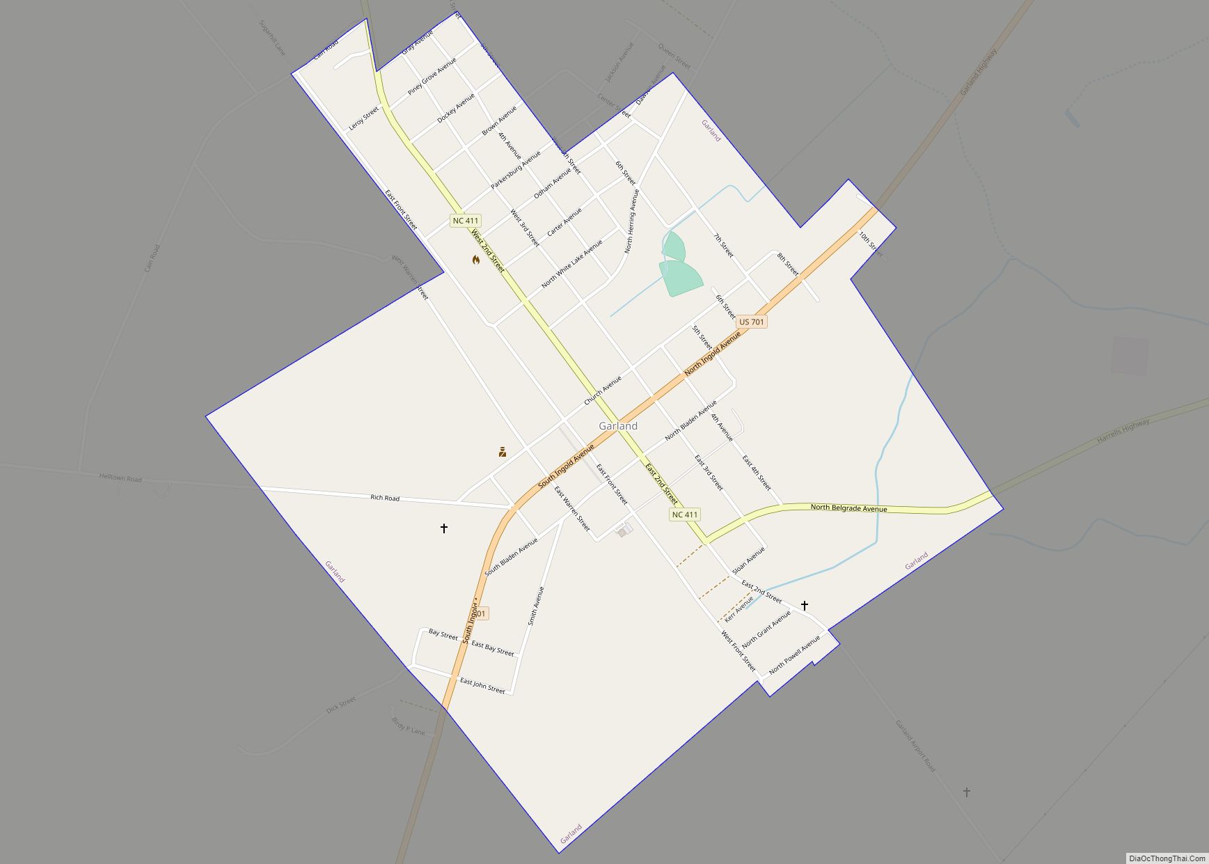
Newton Grove Road Map
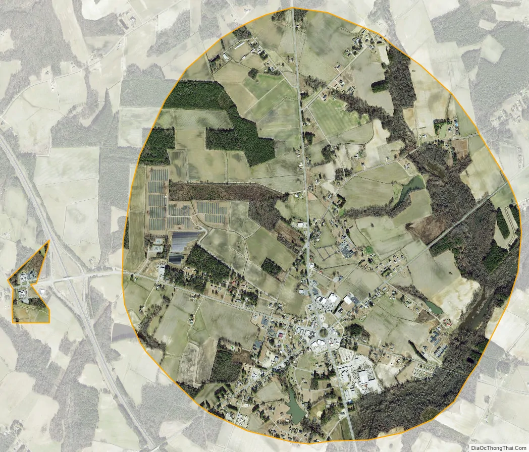
Newton Grove city Satellite Map
Geography
Newton Grove is located at 35°14′48″N 78°21′25″W / 35.24667°N 78.35694°W / 35.24667; -78.35694 (35.246764, -78.357024).
According to the United States Census Bureau, the town has a total area of 3.1 square miles (8.0 km), of which 3.1 square miles (8.0 km) is land and 0.04 square miles (0.10 km) (0.65%) is water.
There is a six-way roundabout in the center of town, with a hexagonal loop road around it, named Circle Street, contrary to its shape.
See also
Map of North Carolina State and its subdivision:- Alamance
- Alexander
- Alleghany
- Anson
- Ashe
- Avery
- Beaufort
- Bertie
- Bladen
- Brunswick
- Buncombe
- Burke
- Cabarrus
- Caldwell
- Camden
- Carteret
- Caswell
- Catawba
- Chatham
- Cherokee
- Chowan
- Clay
- Cleveland
- Columbus
- Craven
- Cumberland
- Currituck
- Dare
- Davidson
- Davie
- Duplin
- Durham
- Edgecombe
- Forsyth
- Franklin
- Gaston
- Gates
- Graham
- Granville
- Greene
- Guilford
- Halifax
- Harnett
- Haywood
- Henderson
- Hertford
- Hoke
- Hyde
- Iredell
- Jackson
- Johnston
- Jones
- Lee
- Lenoir
- Lincoln
- Macon
- Madison
- Martin
- McDowell
- Mecklenburg
- Mitchell
- Montgomery
- Moore
- Nash
- New Hanover
- Northampton
- Onslow
- Orange
- Pamlico
- Pasquotank
- Pender
- Perquimans
- Person
- Pitt
- Polk
- Randolph
- Richmond
- Robeson
- Rockingham
- Rowan
- Rutherford
- Sampson
- Scotland
- Stanly
- Stokes
- Surry
- Swain
- Transylvania
- Tyrrell
- Union
- Vance
- Wake
- Warren
- Washington
- Watauga
- Wayne
- Wilkes
- Wilson
- Yadkin
- Yancey
- Alabama
- Alaska
- Arizona
- Arkansas
- California
- Colorado
- Connecticut
- Delaware
- District of Columbia
- Florida
- Georgia
- Hawaii
- Idaho
- Illinois
- Indiana
- Iowa
- Kansas
- Kentucky
- Louisiana
- Maine
- Maryland
- Massachusetts
- Michigan
- Minnesota
- Mississippi
- Missouri
- Montana
- Nebraska
- Nevada
- New Hampshire
- New Jersey
- New Mexico
- New York
- North Carolina
- North Dakota
- Ohio
- Oklahoma
- Oregon
- Pennsylvania
- Rhode Island
- South Carolina
- South Dakota
- Tennessee
- Texas
- Utah
- Vermont
- Virginia
- Washington
- West Virginia
- Wisconsin
- Wyoming