Oakboro is a town in Stanly County, North Carolina, United States. The population was 1,859 at the 2010 census.
| Name: | Oakboro town |
|---|---|
| LSAD Code: | 43 |
| LSAD Description: | town (suffix) |
| State: | North Carolina |
| County: | Stanly County |
| Elevation: | 518 ft (158 m) |
| Total Area: | 2.51 sq mi (6.50 km²) |
| Land Area: | 2.51 sq mi (6.50 km²) |
| Water Area: | 0.00 sq mi (0.00 km²) |
| Total Population: | 2,128 |
| Population Density: | 847.81/sq mi (327.33/km²) |
| ZIP code: | 28129 |
| Area code: | 704, 980 |
| FIPS code: | 3748040 |
| GNISfeature ID: | 1021705 |
| Website: | www.oakboro.com |
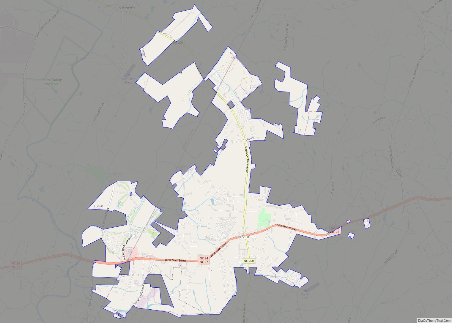
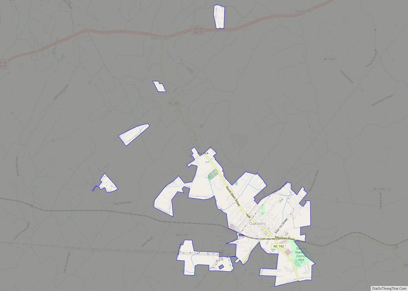
Online Interactive Map
Click on ![]() to view map in "full screen" mode.
to view map in "full screen" mode.
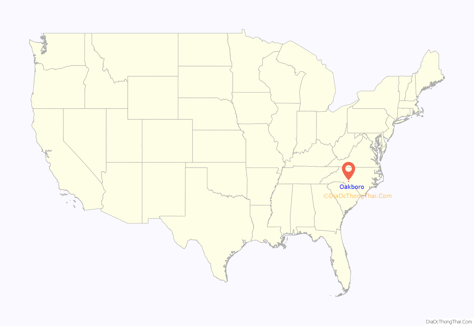
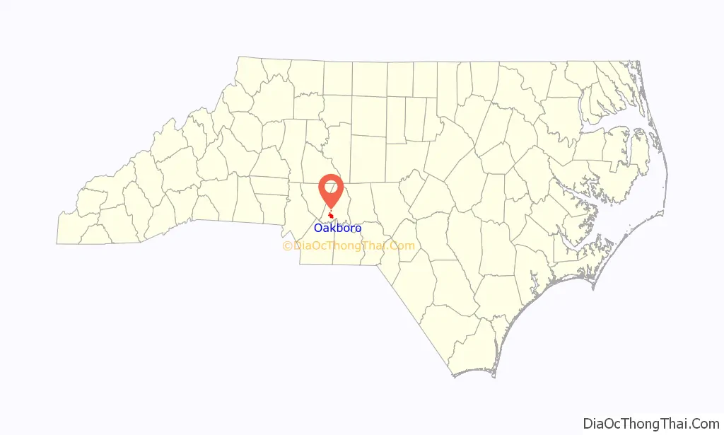
Oakboro location map. Where is Oakboro town?
History
Oakboro developed because of a predecessor of the (first) Norfolk Southern Railway. The original town started at a natural salt lick called Big Lick. When the railroad passed through in 1913, the town moved closer to the railroad and became “Furr Town”. In 1915, the name was changed to Oakboro.
The Oakboro Cotton Mill was a major employer in the 1940s and 1950s while cotton was still “king” of the South. Later, the mill moved across the railroad to form Stanly Knitting Mills.
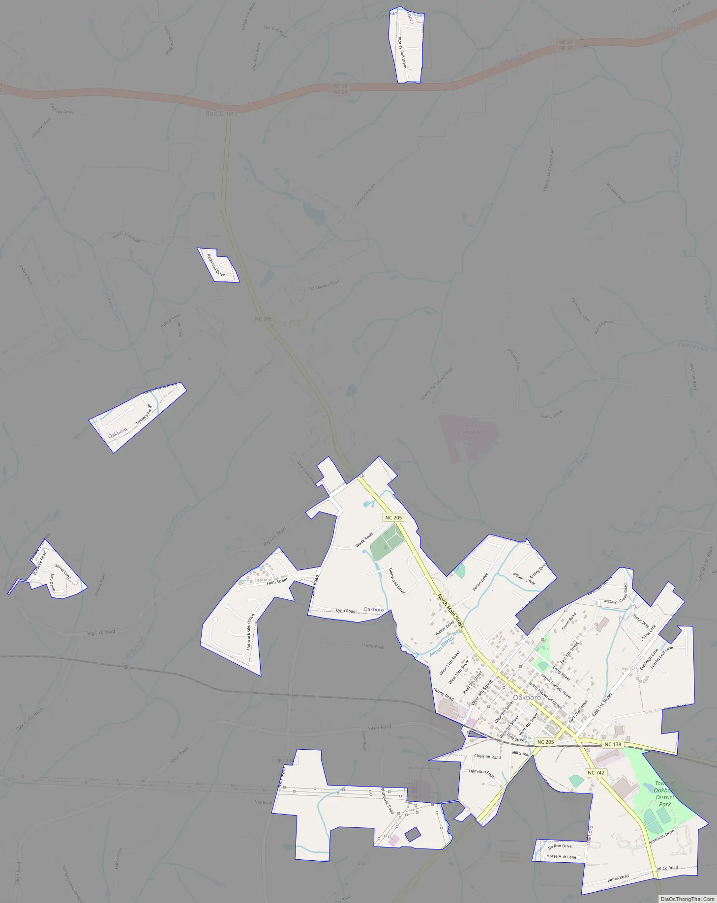
Oakboro Road Map
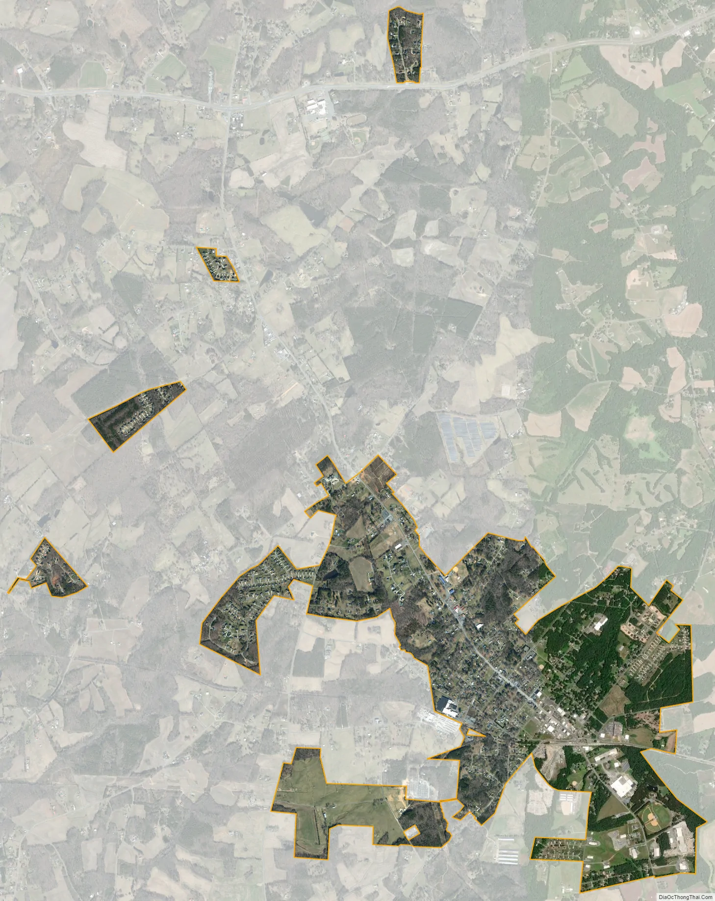
Oakboro city Satellite Map
Geography
Oakboro is located at 35°13′45″N 80°19′57″W / 35.22917°N 80.33250°W / 35.22917; -80.33250 (35.229159, -80.332440).
According to the United States Census Bureau, the town has a total area of 2.0 square miles (5.2 km), all land.
See also
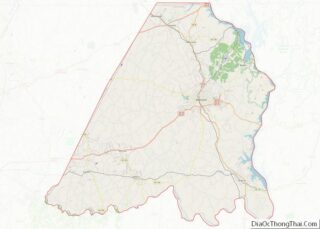
Map of North Carolina State and its subdivision:- Alamance
- Alexander
- Alleghany
- Anson
- Ashe
- Avery
- Beaufort
- Bertie
- Bladen
- Brunswick
- Buncombe
- Burke
- Cabarrus
- Caldwell
- Camden
- Carteret
- Caswell
- Catawba
- Chatham
- Cherokee
- Chowan
- Clay
- Cleveland
- Columbus
- Craven
- Cumberland
- Currituck
- Dare
- Davidson
- Davie
- Duplin
- Durham
- Edgecombe
- Forsyth
- Franklin
- Gaston
- Gates
- Graham
- Granville
- Greene
- Guilford
- Halifax
- Harnett
- Haywood
- Henderson
- Hertford
- Hoke
- Hyde
- Iredell
- Jackson
- Johnston
- Jones
- Lee
- Lenoir
- Lincoln
- Macon
- Madison
- Martin
- McDowell
- Mecklenburg
- Mitchell
- Montgomery
- Moore
- Nash
- New Hanover
- Northampton
- Onslow
- Orange
- Pamlico
- Pasquotank
- Pender
- Perquimans
- Person
- Pitt
- Polk
- Randolph
- Richmond
- Robeson
- Rockingham
- Rowan
- Rutherford
- Sampson
- Scotland
- Stanly
- Stokes
- Surry
- Swain
- Transylvania
- Tyrrell
- Union
- Vance
- Wake
- Warren
- Washington
- Watauga
- Wayne
- Wilkes
- Wilson
- Yadkin
- Yancey
- Alabama
- Alaska
- Arizona
- Arkansas
- California
- Colorado
- Connecticut
- Delaware
- District of Columbia
- Florida
- Georgia
- Hawaii
- Idaho
- Illinois
- Indiana
- Iowa
- Kansas
- Kentucky
- Louisiana
- Maine
- Maryland
- Massachusetts
- Michigan
- Minnesota
- Mississippi
- Missouri
- Montana
- Nebraska
- Nevada
- New Hampshire
- New Jersey
- New Mexico
- New York
- North Carolina
- North Dakota
- Ohio
- Oklahoma
- Oregon
- Pennsylvania
- Rhode Island
- South Carolina
- South Dakota
- Tennessee
- Texas
- Utah
- Vermont
- Virginia
- Washington
- West Virginia
- Wisconsin
- Wyoming