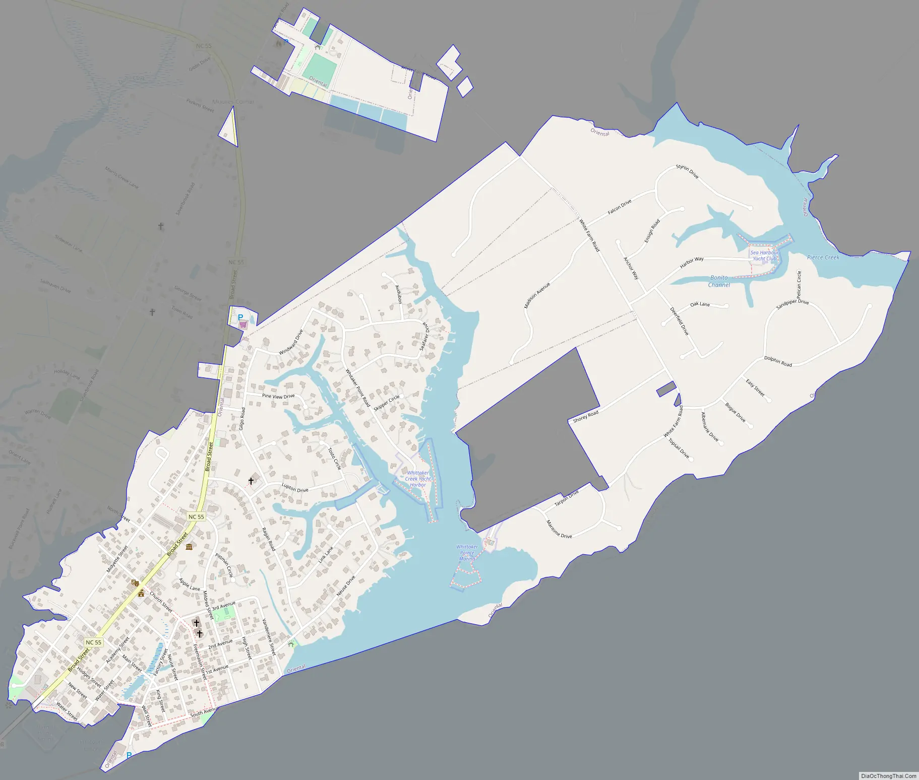
Oriental is one of nine incorporated municipalities in Pamlico County, North Carolina, United States. The population was 880, according to the 2020 census. It is part of the New Bern Metropolitan Statistical Area.
| Name: | Oriental town |
|---|---|
| LSAD Code: | 43 |
| LSAD Description: | town (suffix) |
| State: | North Carolina |
| County: | Pamlico County |
| Elevation: | 10 ft (3 m) |
| Total Area: | 1.65 sq mi (4.26 km²) |
| Land Area: | 1.43 sq mi (3.70 km²) |
| Water Area: | 0.22 sq mi (0.56 km²) |
| Total Population: | 880 |
| Population Density: | 615.38/sq mi (237.59/km²) |
| ZIP code: | 28571 |
| Area code: | 252 |
| FIPS code: | 3749380 |
| GNISfeature ID: | 0991689 |
| Website: | www.townoforiental.com |
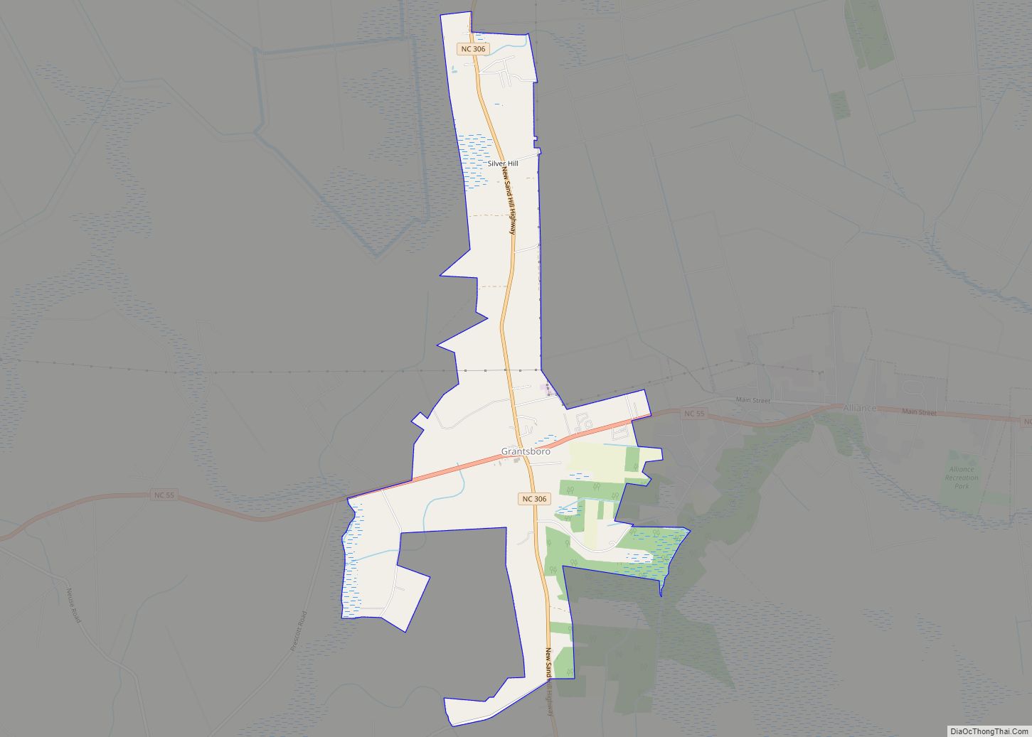
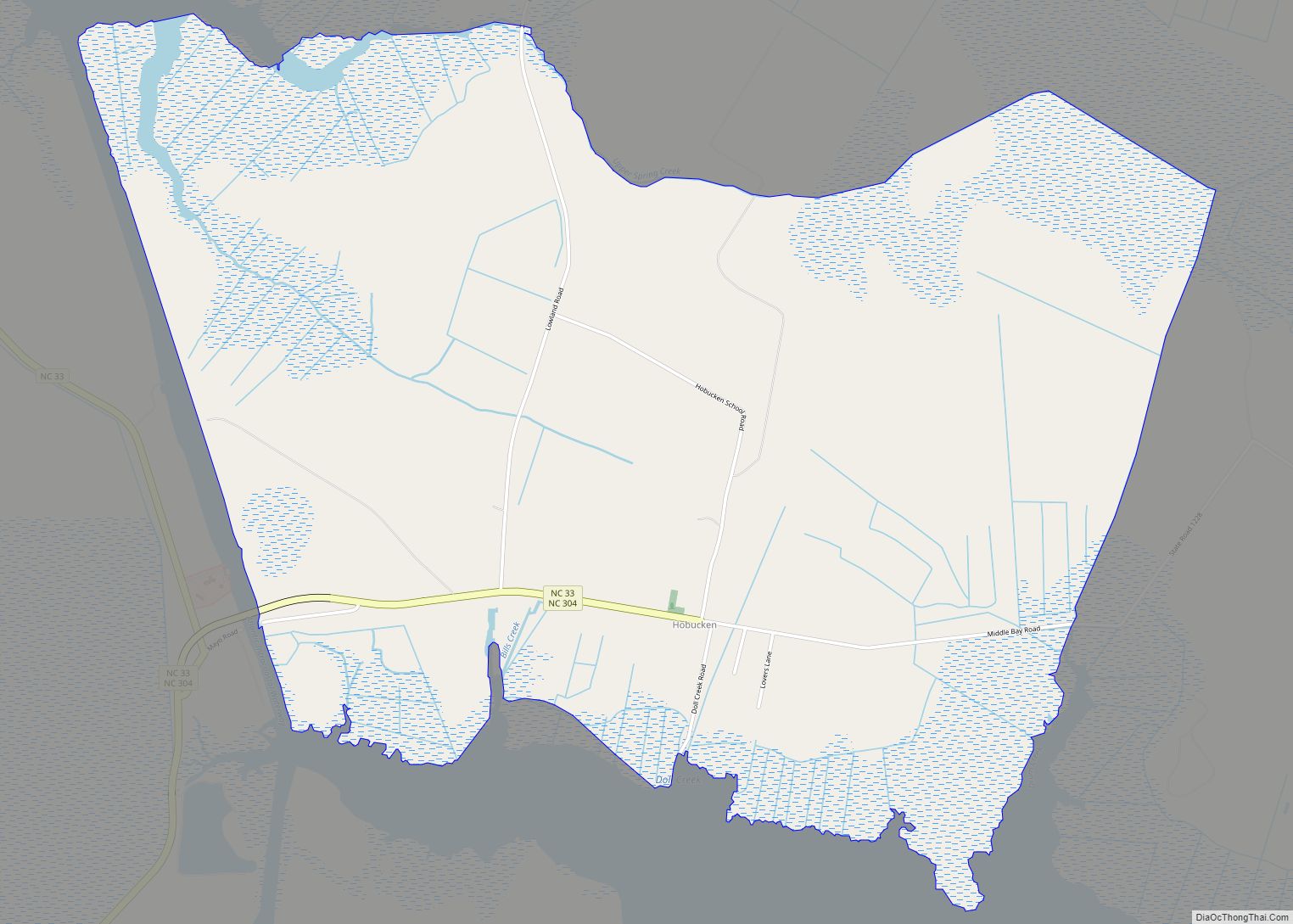
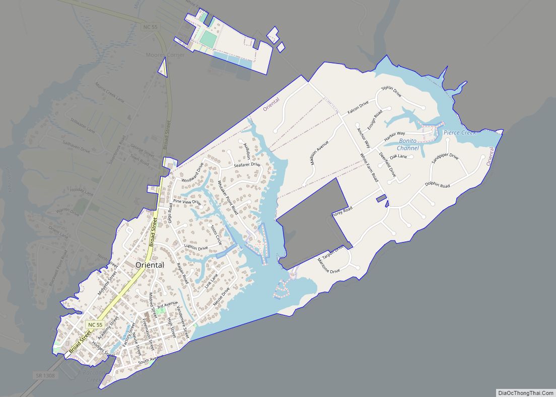
Online Interactive Map
Click on ![]() to view map in "full screen" mode.
to view map in "full screen" mode.
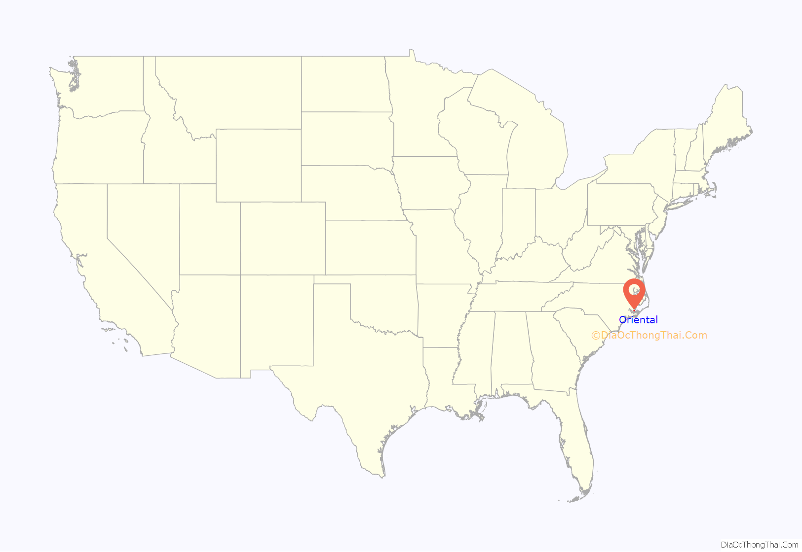
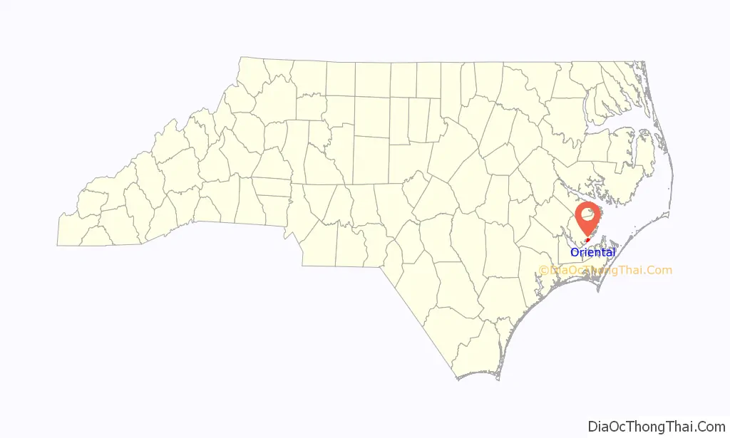
Oriental location map. Where is Oriental town?
History
The area was settled by Native Americans, who fished and farmed in the creeks and river long before Europeans arrived. Today, fewer than one percent of the town’s residents are Native American. Land records date grants from the King of England to colonial farmers, although the King didn’t actually own the land, and several current residents of the area can trace their family’s genealogy to these times. The area was the haunt of pirates in the early days of European dominance. The famous pirate Edward Teach, or Blackbeard made his home in Bath, to the north of Oriental. The Midgettes (also Midyettes) and other old families who still have descendants in the town came much later, in the late 19th century.
The town of Oriental was named after the Sailing Steamer Oriental. Built in Philadelphia in 1861, the ship was used as a Federal transport ship in the Civil War. She met her fate a year after being launched, run aground in May 1862, when she was wrecked off Bodie Island, 33 miles north of Cape Hatteras. Her passengers and crew were saved.
The United States Post Office Department established a post office in 1886 in what had been called Smith’s Creek. Lou Midyette was named postmaster. Postmaster Midyette’s wife, Rebecca, thought the village needed a better name. One story says that she had found the nameplate from the wrecked sailing steamer “Oriental” on the beaches of the Outer Banks and thought that name was more suitable. Another version of the story says she just saw the nameplate in a Manteo home. Either way the name “Oriental” made an impression on her. The village became known as Oriental a few years after the post office was established and was incorporated in 1899.
From the early 20th century, Oriental’s economy was supported by lumber, fishing and farming. Train service stopped in the 1950s. The last sawmill closed in the early 1960s. Fishing, agriculture, some tourism and marine related businesses now lead the local economy. The town gained national publicity in 2016 when WalMart closed the only food store in town. Fishing trawlers still grace the small harbor, bringing in a catch of shrimp, crab or perhaps flounder depending on the season.
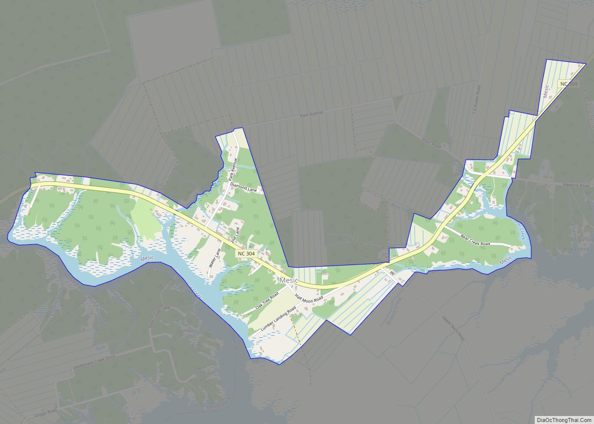
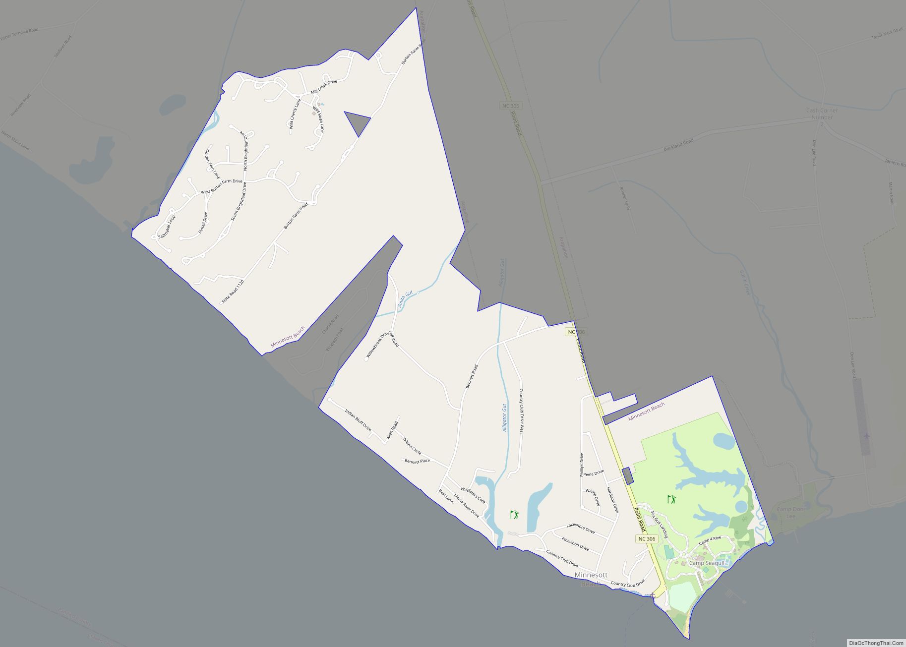
Oriental Road Map
Oriental city Satellite Map
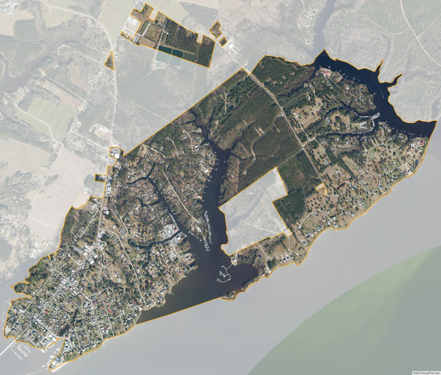
Geography
Oriental is located at 35°1′52″N 76°41′16″W / 35.03111°N 76.68778°W / 35.03111; -76.68778 (35.031010, −76.687871).
According to the United States Census Bureau, the town has a total area of 1.4 square miles (3.6 km), of which 1.1 square miles (2.8 km) is land and 0.2 square miles (0.52 km) (16.79%) is water.
See also
Map of North Carolina State and its subdivision:- Alamance
- Alexander
- Alleghany
- Anson
- Ashe
- Avery
- Beaufort
- Bertie
- Bladen
- Brunswick
- Buncombe
- Burke
- Cabarrus
- Caldwell
- Camden
- Carteret
- Caswell
- Catawba
- Chatham
- Cherokee
- Chowan
- Clay
- Cleveland
- Columbus
- Craven
- Cumberland
- Currituck
- Dare
- Davidson
- Davie
- Duplin
- Durham
- Edgecombe
- Forsyth
- Franklin
- Gaston
- Gates
- Graham
- Granville
- Greene
- Guilford
- Halifax
- Harnett
- Haywood
- Henderson
- Hertford
- Hoke
- Hyde
- Iredell
- Jackson
- Johnston
- Jones
- Lee
- Lenoir
- Lincoln
- Macon
- Madison
- Martin
- McDowell
- Mecklenburg
- Mitchell
- Montgomery
- Moore
- Nash
- New Hanover
- Northampton
- Onslow
- Orange
- Pamlico
- Pasquotank
- Pender
- Perquimans
- Person
- Pitt
- Polk
- Randolph
- Richmond
- Robeson
- Rockingham
- Rowan
- Rutherford
- Sampson
- Scotland
- Stanly
- Stokes
- Surry
- Swain
- Transylvania
- Tyrrell
- Union
- Vance
- Wake
- Warren
- Washington
- Watauga
- Wayne
- Wilkes
- Wilson
- Yadkin
- Yancey
- Alabama
- Alaska
- Arizona
- Arkansas
- California
- Colorado
- Connecticut
- Delaware
- District of Columbia
- Florida
- Georgia
- Hawaii
- Idaho
- Illinois
- Indiana
- Iowa
- Kansas
- Kentucky
- Louisiana
- Maine
- Maryland
- Massachusetts
- Michigan
- Minnesota
- Mississippi
- Missouri
- Montana
- Nebraska
- Nevada
- New Hampshire
- New Jersey
- New Mexico
- New York
- North Carolina
- North Dakota
- Ohio
- Oklahoma
- Oregon
- Pennsylvania
- Rhode Island
- South Carolina
- South Dakota
- Tennessee
- Texas
- Utah
- Vermont
- Virginia
- Washington
- West Virginia
- Wisconsin
- Wyoming