Pikeville is a town in Wayne County, North Carolina, United States. The population was 678 at the 2010 census. It is included in the Goldsboro, North Carolina Metropolitan Statistical Area. It is notable for being the home of Collier Motors, an automobile sales and service business established in 1955 that has remained an American Motors (AMC) dealership.
| Name: | Pikeville town |
|---|---|
| LSAD Code: | 43 |
| LSAD Description: | town (suffix) |
| State: | North Carolina |
| County: | Wayne County |
| Elevation: | 138 ft (42 m) |
| Total Area: | 0.76 sq mi (1.96 km²) |
| Land Area: | 0.76 sq mi (1.96 km²) |
| Water Area: | 0.00 sq mi (0.00 km²) |
| Total Population: | 712 |
| Population Density: | 943.05/sq mi (364.04/km²) |
| ZIP code: | 27863 |
| Area code: | 919 |
| FIPS code: | 3751780 |
| GNISfeature ID: | 0992193 |
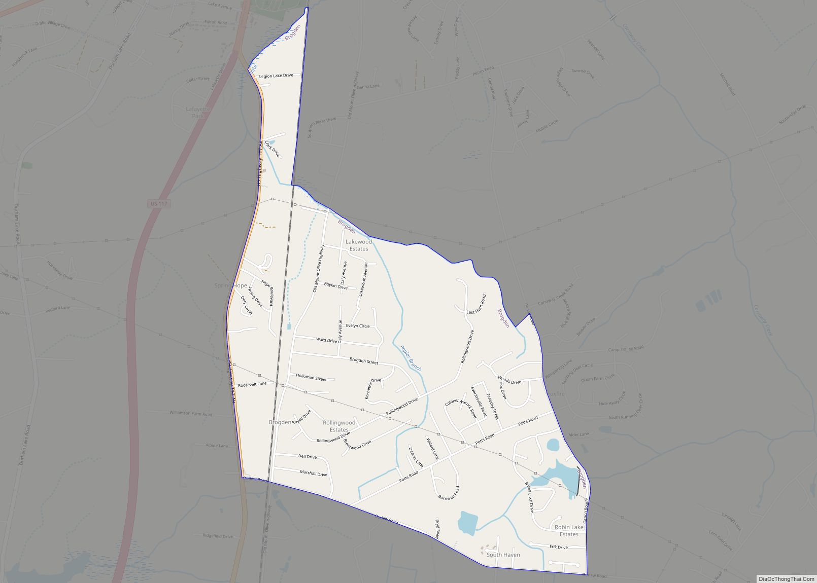
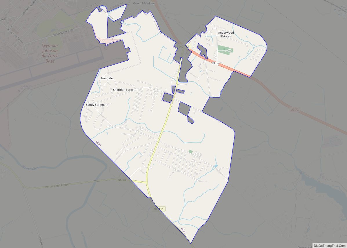
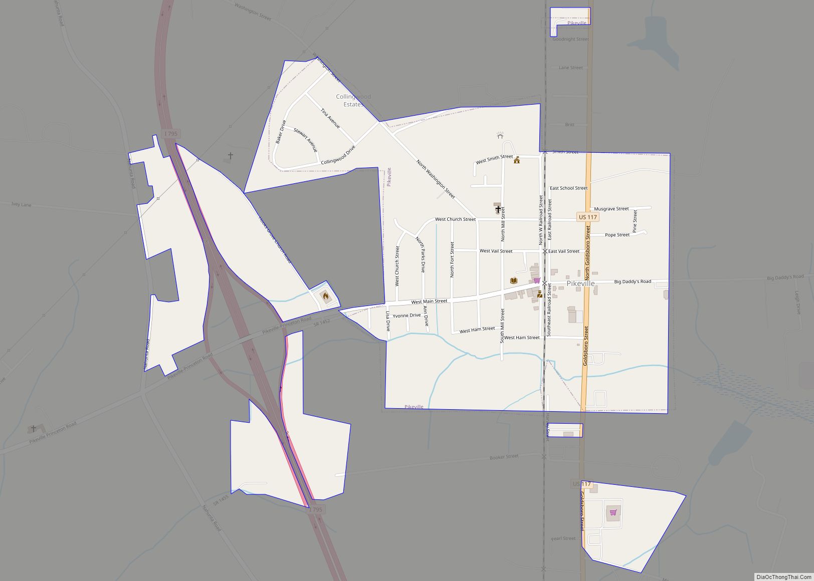
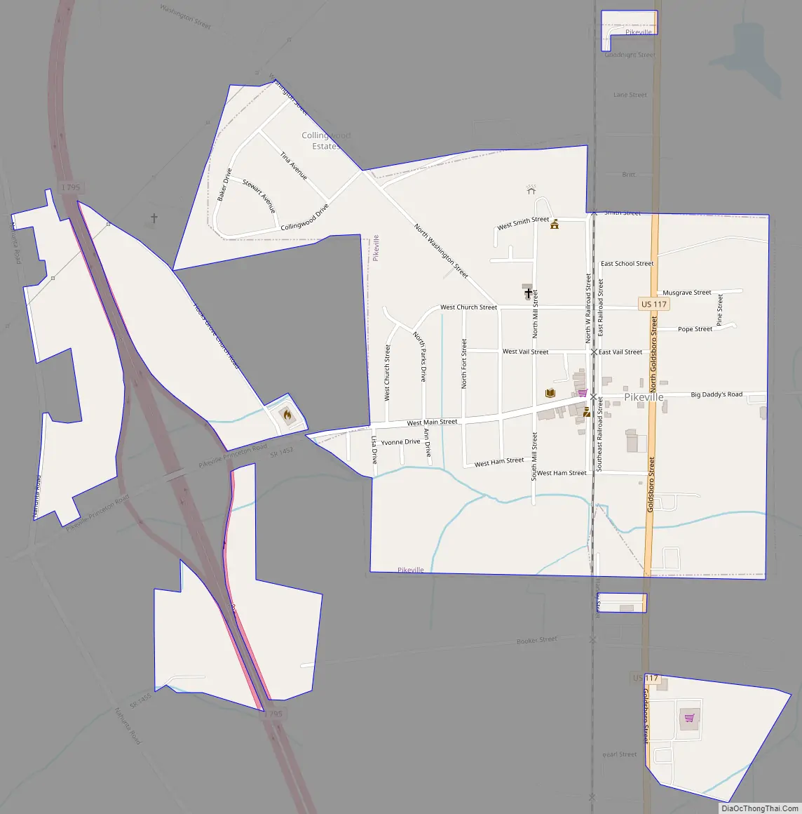
Online Interactive Map
Click on ![]() to view map in "full screen" mode.
to view map in "full screen" mode.
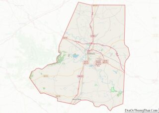
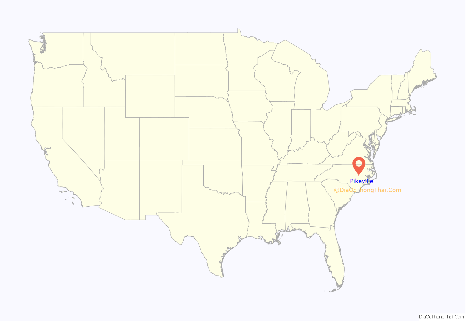
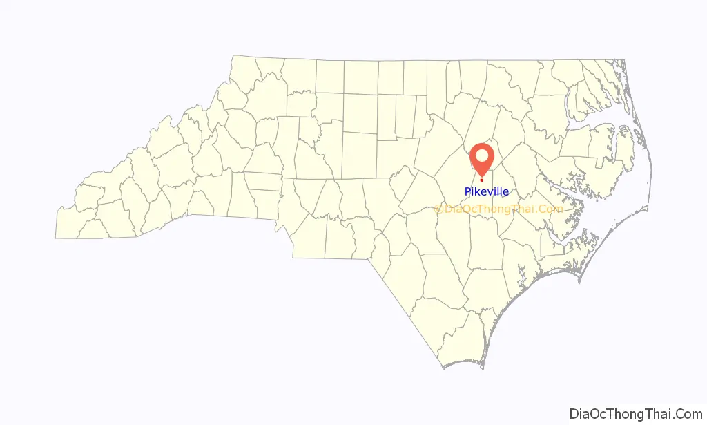
Pikeville location map. Where is Pikeville town?
History
Early history
Torhunta was a large Native American farming community in present-day northern. The Native Americans left North Carolina and returned to their home in New York where they became members of the Iroquois Nation. After the Native Americans left the area, there was an influx of settlers who came into the rich Neuse River lands and began to clear plantations. Many of these settlers were of the Religious Society of Friends, also known as Quakers.
Samuel Pike moved to the area and settled on the south side of Nahunta Swamp which had been granted by King George II of Great Britain in 1763. This grant of land included between 2,500 and 3,000 acres (12 km). In 1785, Pike deeded most of this land to his only son Nathan. It was this Nathan Pike for whom the township, the Post Office, and later the town was named.
Nathan Pike owned and operated a large tavern, shop, trading post and hotel. It was then known as Pike’s Junction. In 1856, the first post office opened. During the period of 1793 to 1835 Pike sold around 2,000 acres (8.1 km) of his land to other families who came here to settle.
Civil War
During General Sherman’s Carolinas Campaign in 1865, Pikeville suffered the same fate of many southern towns. Union soldiers destroyed the hotel and tavern Nathan Pike had built, and many buildings and homes were damaged or destroyed. Some of General Sherman’s forces camped in areas east of Pikeville during this time.
Turn of the century
The first school in the area was located at a crossroads named Mount Carmel in 1865. In 1908, the Pikeville grade school was made Pikeville High School. It was composed of the schools of Mount Carmel, Sherrad’s Cross Roads, Pleasant Grove, Oak Dale, Possum Trot, Taylor’s Oak Grove, Smith’s Patetown as well as Pikeville grade School. In 1960, Charles B. Aycock High School was opened in Pikeville in honor of the state governor who was an advocate for quality education.
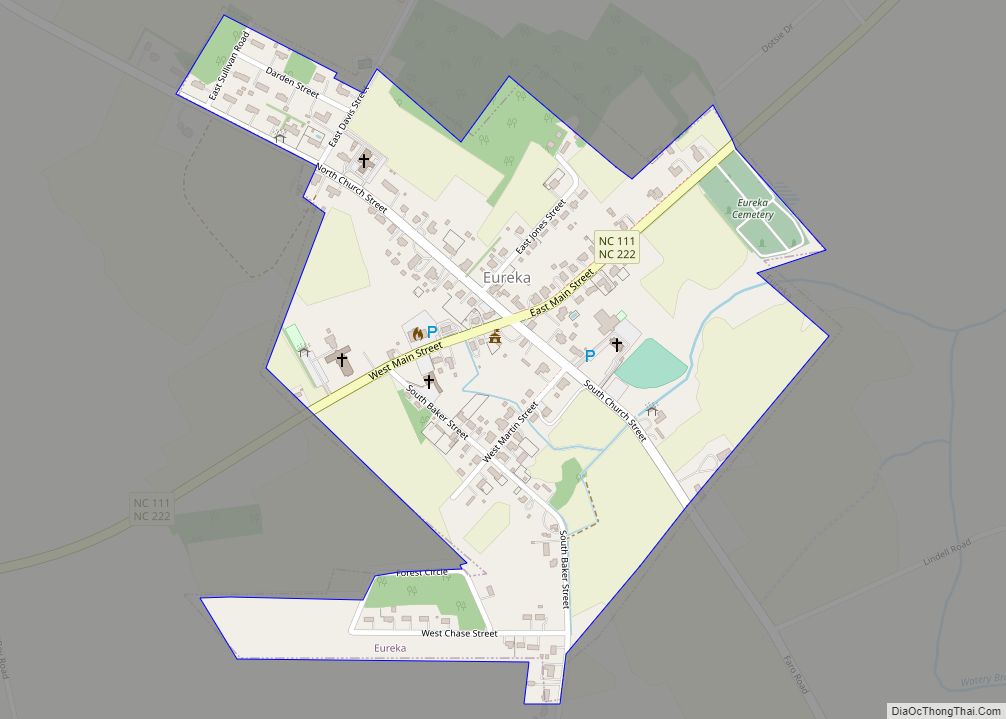
Pikeville Road Map
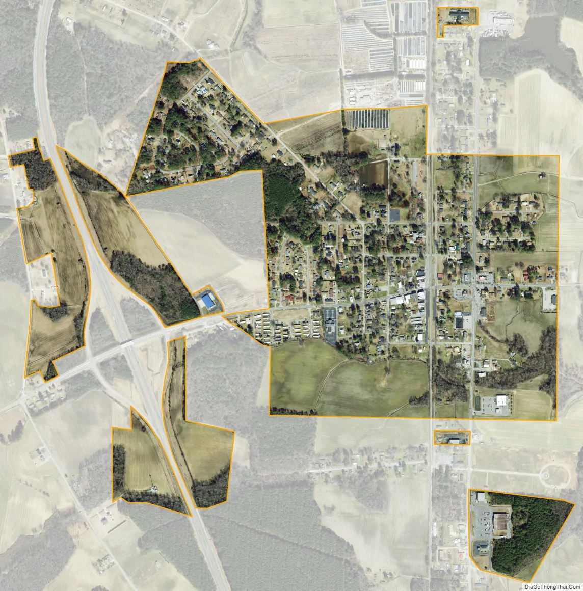
Pikeville city Satellite Map
Geography
Pikeville is located at 35°29′56″N 77°59′10″W / 35.49889°N 77.98611°W / 35.49889; -77.98611 (35.498829, -77.986114).
According to the United States Census Bureau, the town has a total area of 0.5 square miles (1.3 km), all of it land.
See also
Map of North Carolina State and its subdivision:- Alamance
- Alexander
- Alleghany
- Anson
- Ashe
- Avery
- Beaufort
- Bertie
- Bladen
- Brunswick
- Buncombe
- Burke
- Cabarrus
- Caldwell
- Camden
- Carteret
- Caswell
- Catawba
- Chatham
- Cherokee
- Chowan
- Clay
- Cleveland
- Columbus
- Craven
- Cumberland
- Currituck
- Dare
- Davidson
- Davie
- Duplin
- Durham
- Edgecombe
- Forsyth
- Franklin
- Gaston
- Gates
- Graham
- Granville
- Greene
- Guilford
- Halifax
- Harnett
- Haywood
- Henderson
- Hertford
- Hoke
- Hyde
- Iredell
- Jackson
- Johnston
- Jones
- Lee
- Lenoir
- Lincoln
- Macon
- Madison
- Martin
- McDowell
- Mecklenburg
- Mitchell
- Montgomery
- Moore
- Nash
- New Hanover
- Northampton
- Onslow
- Orange
- Pamlico
- Pasquotank
- Pender
- Perquimans
- Person
- Pitt
- Polk
- Randolph
- Richmond
- Robeson
- Rockingham
- Rowan
- Rutherford
- Sampson
- Scotland
- Stanly
- Stokes
- Surry
- Swain
- Transylvania
- Tyrrell
- Union
- Vance
- Wake
- Warren
- Washington
- Watauga
- Wayne
- Wilkes
- Wilson
- Yadkin
- Yancey
- Alabama
- Alaska
- Arizona
- Arkansas
- California
- Colorado
- Connecticut
- Delaware
- District of Columbia
- Florida
- Georgia
- Hawaii
- Idaho
- Illinois
- Indiana
- Iowa
- Kansas
- Kentucky
- Louisiana
- Maine
- Maryland
- Massachusetts
- Michigan
- Minnesota
- Mississippi
- Missouri
- Montana
- Nebraska
- Nevada
- New Hampshire
- New Jersey
- New Mexico
- New York
- North Carolina
- North Dakota
- Ohio
- Oklahoma
- Oregon
- Pennsylvania
- Rhode Island
- South Carolina
- South Dakota
- Tennessee
- Texas
- Utah
- Vermont
- Virginia
- Washington
- West Virginia
- Wisconsin
- Wyoming