Richfield is a town in Stanly County, North Carolina, United States. The town was originally called “Ritchie’s Field,” for the prominent Ritchie family who established the post office, sawmill, and streets of the settlement.
| Name: | Richfield town |
|---|---|
| LSAD Code: | 43 |
| LSAD Description: | town (suffix) |
| State: | North Carolina |
| County: | Stanly County |
| Elevation: | 643 ft (196 m) |
| Total Area: | 2.44 sq mi (6.32 km²) |
| Land Area: | 2.42 sq mi (6.27 km²) |
| Water Area: | 0.02 sq mi (0.05 km²) |
| Total Population: | 582 |
| Population Density: | 240.30/sq mi (92.77/km²) |
| ZIP code: | 28137 |
| Area code: | 704 |
| FIPS code: | 3756340 |
| GNISfeature ID: | 0993314 |
| Website: | http://www.gorichfield.com |
Online Interactive Map
Click on ![]() to view map in "full screen" mode.
to view map in "full screen" mode.
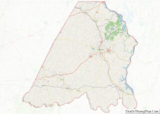
Richfield location map. Where is Richfield town?


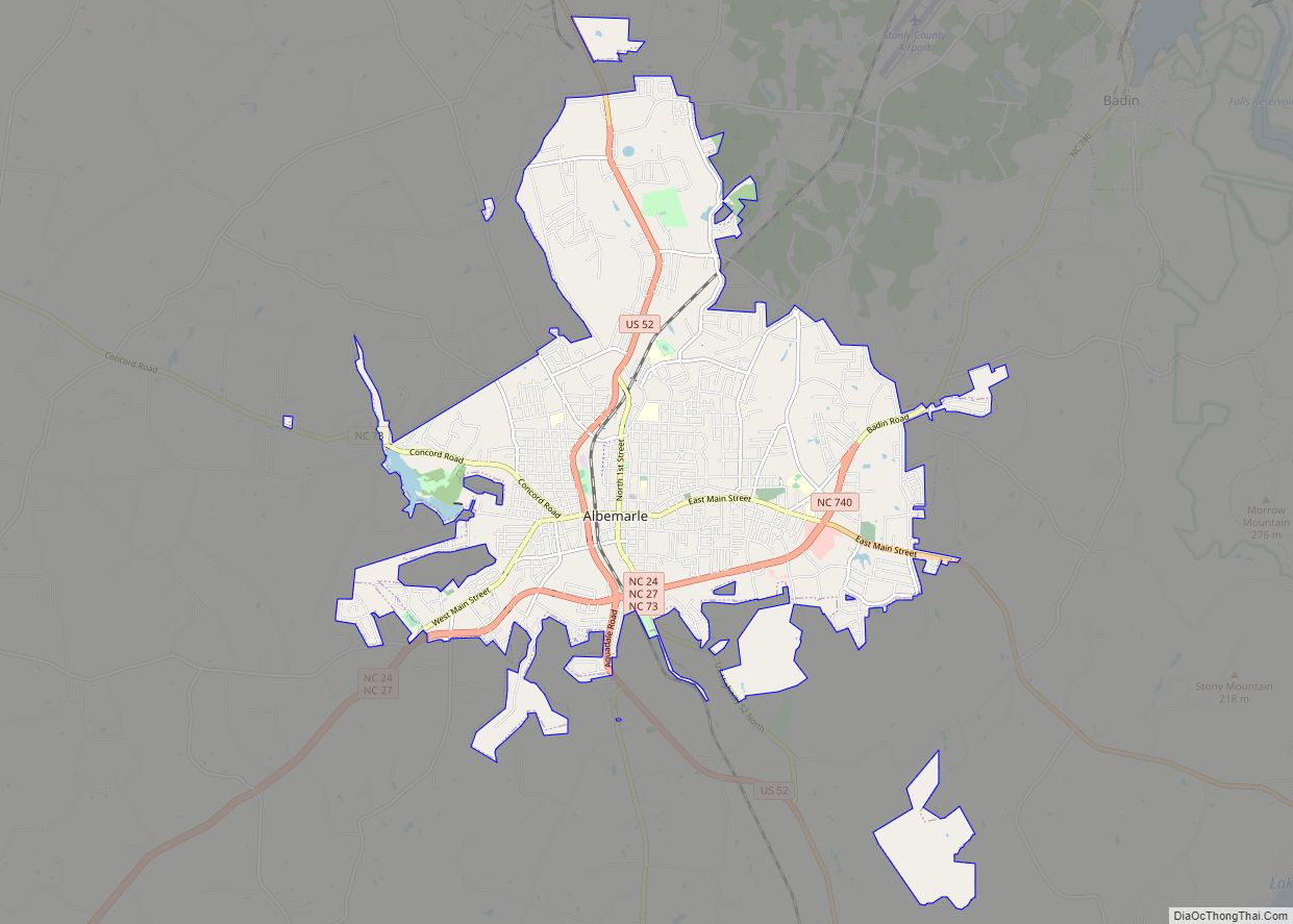
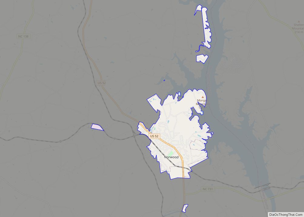
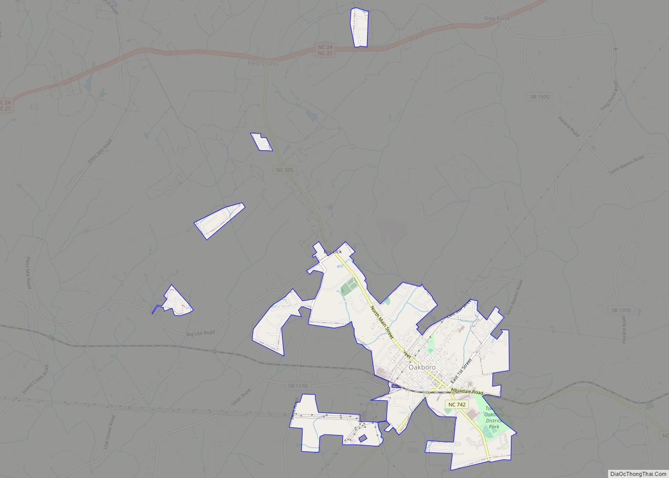
Richfield Road Map

Richfield city Satellite Map

Geography
Richfield is located at 35°28′18″N 80°15′23″W / 35.47167°N 80.25639°W / 35.47167; -80.25639 (35.471664, -80.256454).
According to the United States Census Bureau, the town has a total area of 2.1 square miles (5.4 km), of which 2.1 square miles (5.4 km) is land and 0.04 square miles (0.10 km) (0.95%) is water.
Richfield is located at the junction of US Route 52 and State Highway 49.
See also
Map of North Carolina State and its subdivision:- Alamance
- Alexander
- Alleghany
- Anson
- Ashe
- Avery
- Beaufort
- Bertie
- Bladen
- Brunswick
- Buncombe
- Burke
- Cabarrus
- Caldwell
- Camden
- Carteret
- Caswell
- Catawba
- Chatham
- Cherokee
- Chowan
- Clay
- Cleveland
- Columbus
- Craven
- Cumberland
- Currituck
- Dare
- Davidson
- Davie
- Duplin
- Durham
- Edgecombe
- Forsyth
- Franklin
- Gaston
- Gates
- Graham
- Granville
- Greene
- Guilford
- Halifax
- Harnett
- Haywood
- Henderson
- Hertford
- Hoke
- Hyde
- Iredell
- Jackson
- Johnston
- Jones
- Lee
- Lenoir
- Lincoln
- Macon
- Madison
- Martin
- McDowell
- Mecklenburg
- Mitchell
- Montgomery
- Moore
- Nash
- New Hanover
- Northampton
- Onslow
- Orange
- Pamlico
- Pasquotank
- Pender
- Perquimans
- Person
- Pitt
- Polk
- Randolph
- Richmond
- Robeson
- Rockingham
- Rowan
- Rutherford
- Sampson
- Scotland
- Stanly
- Stokes
- Surry
- Swain
- Transylvania
- Tyrrell
- Union
- Vance
- Wake
- Warren
- Washington
- Watauga
- Wayne
- Wilkes
- Wilson
- Yadkin
- Yancey
- Alabama
- Alaska
- Arizona
- Arkansas
- California
- Colorado
- Connecticut
- Delaware
- District of Columbia
- Florida
- Georgia
- Hawaii
- Idaho
- Illinois
- Indiana
- Iowa
- Kansas
- Kentucky
- Louisiana
- Maine
- Maryland
- Massachusetts
- Michigan
- Minnesota
- Mississippi
- Missouri
- Montana
- Nebraska
- Nevada
- New Hampshire
- New Jersey
- New Mexico
- New York
- North Carolina
- North Dakota
- Ohio
- Oklahoma
- Oregon
- Pennsylvania
- Rhode Island
- South Carolina
- South Dakota
- Tennessee
- Texas
- Utah
- Vermont
- Virginia
- Washington
- West Virginia
- Wisconsin
- Wyoming