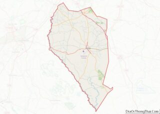
Roseboro is a town in Sampson County, North Carolina, United States. The population was 1,191 at the 2010 census.
| Name: | Roseboro town |
|---|---|
| LSAD Code: | 43 |
| LSAD Description: | town (suffix) |
| State: | North Carolina |
| County: | Sampson County |
| Elevation: | 125 ft (38 m) |
| Total Area: | 1.45 sq mi (3.75 km²) |
| Land Area: | 1.45 sq mi (3.75 km²) |
| Water Area: | 0.00 sq mi (0.01 km²) |
| Total Population: | 1,163 |
| Population Density: | 803.73/sq mi (310.42/km²) |
| ZIP code: | 28382 |
| FIPS code: | 3757800 |
| GNISfeature ID: | 0993705 |
Online Interactive Map
Click on ![]() to view map in "full screen" mode.
to view map in "full screen" mode.
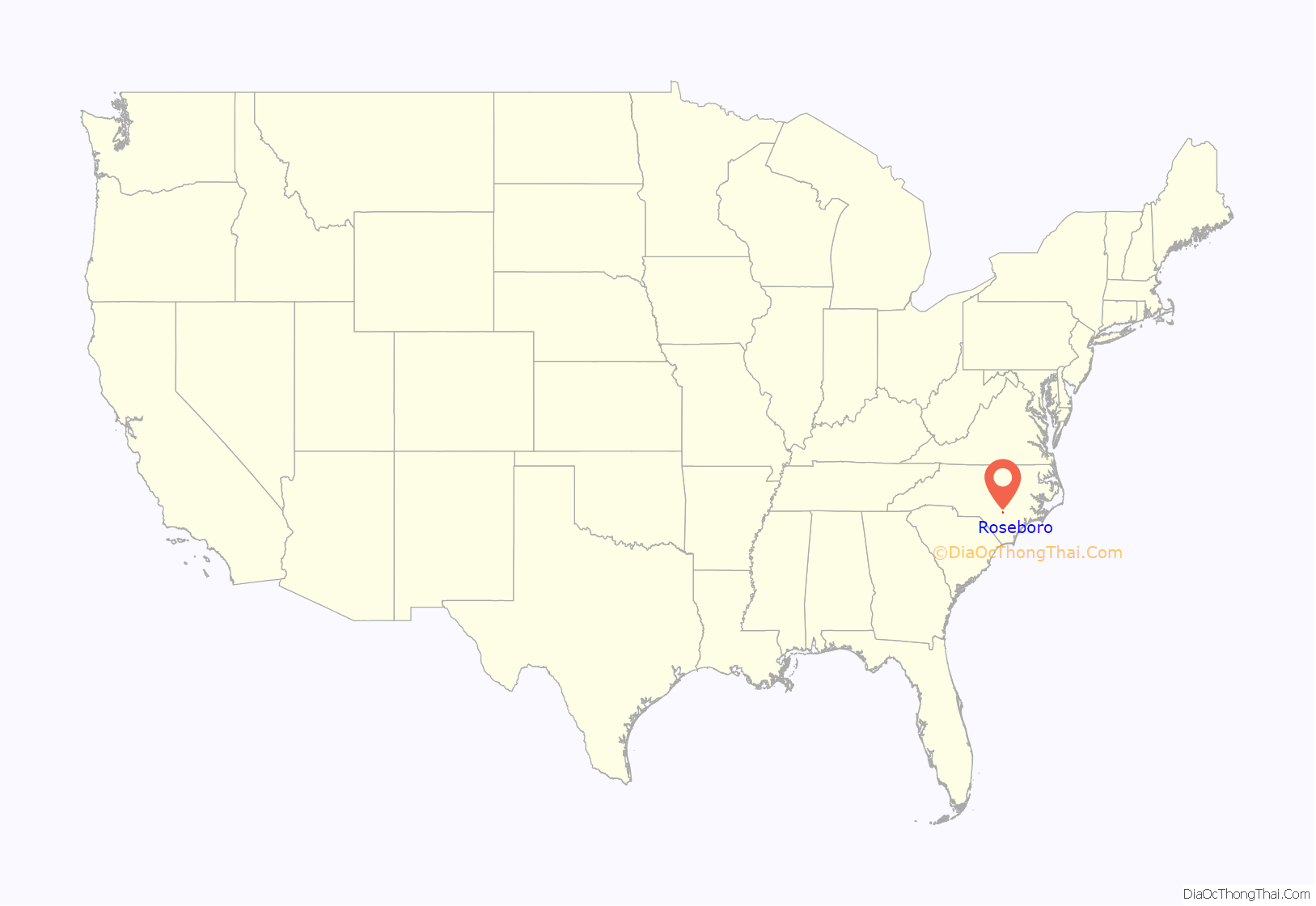
Roseboro location map. Where is Roseboro town?
History
Roseboro was founded when the Cape Fear and Yadkin Valley Railroad built a line from Fayetteville to Wilmington, and it joined Stedman, Autryville, Garland, Kerr Station and several other communities that sprang to life when depots were built and commerce came into being. The railroad was built in 1889-1890 and the town began to grow from a tiny crossroads with one store to the town of some 1,400 people who reside there today.
There are two stories of how Roseboro got its name, but research has proven it to be named after John M. Rose, secretary of the Cape Fear and Yadkin Valley Railroad. The town has grown since 1889. Roseboro was incorporated in 1891 by the North Carolina General Assembly and the first mayor was Almond Butler, an ancestor of Miss Ossie Butler, long time town clerk for Roseboro. According to a copy of the town charter on file in the town office, E.R. Johnson was the first town marshal. All but one of the first commissioner’s last names is still prominent in the town. Roseboro did not do a lot of growing at first. First accounts of the town are of a few houses and several general stores.
Roseboro’s oldest building was constructed around 1897 by W.J. Fisher. In 1908, Dr. Paul M. Crumpler practiced medicine in front of the building while Whit Tart operated a drug store in the rear, thus the beginning of Tart & West Drug Store. In 1930, Paul and Sammy Butler opened a barber shop at the site. In the 1950s, Willie Butler moved in and began a mortgage and finance company. In the late 1950s, it was leased to Vander Simmons who used it for an accounting office. In 1961, Mr. Lennon H. Fisher, grandson of W.J. Fisher, took occupancy of this building and formed Fisher Insurance Agency. It remained at that location until 1978. In 1989, Jim Buchanan moved into this building and opened a photography business. In 1990, he changed the name to Jim B’S E-Z Rental. Currently, Summerlyn Naylor, great-great-granddaughter of W.J. Fisher, operates a business in the building.
The Dan E. Caison Sr. House, Troy Herring House, and Howell–Butler House were listed on the National Register of Historic Places in 1986.
Roseboro Road Map
Roseboro city Satellite Map
Geography
Roseboro is located at 34°57′9″N 78°30′38″W / 34.95250°N 78.51056°W / 34.95250; -78.51056 (34.952445, -78.510560).
According to the United States Census Bureau, the town has a total area of 1.2 square miles (3.1 km), all land.
See also
Map of North Carolina State and its subdivision:- Alamance
- Alexander
- Alleghany
- Anson
- Ashe
- Avery
- Beaufort
- Bertie
- Bladen
- Brunswick
- Buncombe
- Burke
- Cabarrus
- Caldwell
- Camden
- Carteret
- Caswell
- Catawba
- Chatham
- Cherokee
- Chowan
- Clay
- Cleveland
- Columbus
- Craven
- Cumberland
- Currituck
- Dare
- Davidson
- Davie
- Duplin
- Durham
- Edgecombe
- Forsyth
- Franklin
- Gaston
- Gates
- Graham
- Granville
- Greene
- Guilford
- Halifax
- Harnett
- Haywood
- Henderson
- Hertford
- Hoke
- Hyde
- Iredell
- Jackson
- Johnston
- Jones
- Lee
- Lenoir
- Lincoln
- Macon
- Madison
- Martin
- McDowell
- Mecklenburg
- Mitchell
- Montgomery
- Moore
- Nash
- New Hanover
- Northampton
- Onslow
- Orange
- Pamlico
- Pasquotank
- Pender
- Perquimans
- Person
- Pitt
- Polk
- Randolph
- Richmond
- Robeson
- Rockingham
- Rowan
- Rutherford
- Sampson
- Scotland
- Stanly
- Stokes
- Surry
- Swain
- Transylvania
- Tyrrell
- Union
- Vance
- Wake
- Warren
- Washington
- Watauga
- Wayne
- Wilkes
- Wilson
- Yadkin
- Yancey
- Alabama
- Alaska
- Arizona
- Arkansas
- California
- Colorado
- Connecticut
- Delaware
- District of Columbia
- Florida
- Georgia
- Hawaii
- Idaho
- Illinois
- Indiana
- Iowa
- Kansas
- Kentucky
- Louisiana
- Maine
- Maryland
- Massachusetts
- Michigan
- Minnesota
- Mississippi
- Missouri
- Montana
- Nebraska
- Nevada
- New Hampshire
- New Jersey
- New Mexico
- New York
- North Carolina
- North Dakota
- Ohio
- Oklahoma
- Oregon
- Pennsylvania
- Rhode Island
- South Carolina
- South Dakota
- Tennessee
- Texas
- Utah
- Vermont
- Virginia
- Washington
- West Virginia
- Wisconsin
- Wyoming
