Spivey’s Corner is a census-designated place located in Sampson County, North Carolina, United States, at the intersection of U.S. Highway 13 and U.S. Highway 421. As of the 2020 census, the CDP had a total population of 576.
From 1969 to 2016, Spivey’s Corner was the home of the National Hollerin’ Contest. Contestants from the contest have appeared on Johnny Carson’s The Tonight Show and the Late Show with David Letterman.
| Name: | Spivey’s Corner CDP |
|---|---|
| LSAD Code: | 57 |
| LSAD Description: | CDP (suffix) |
| State: | North Carolina |
| County: | Sampson County |
| Elevation: | 190 ft (58 m) |
| Total Area: | 7.77 sq mi (20.13 km²) |
| Land Area: | 7.77 sq mi (20.13 km²) |
| Water Area: | 0.00 sq mi (0.00 km²) |
| Total Population: | 576 |
| Population Density: | 74.12/sq mi (28.62/km²) |
| FIPS code: | 3763920 |
| GNISfeature ID: | 1001104 |
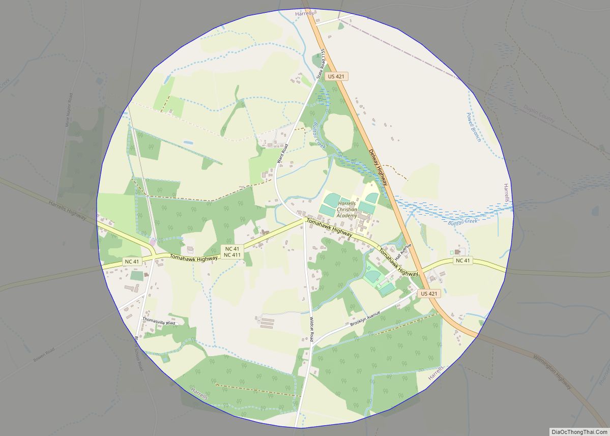
Online Interactive Map
Click on ![]() to view map in "full screen" mode.
to view map in "full screen" mode.
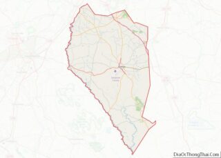
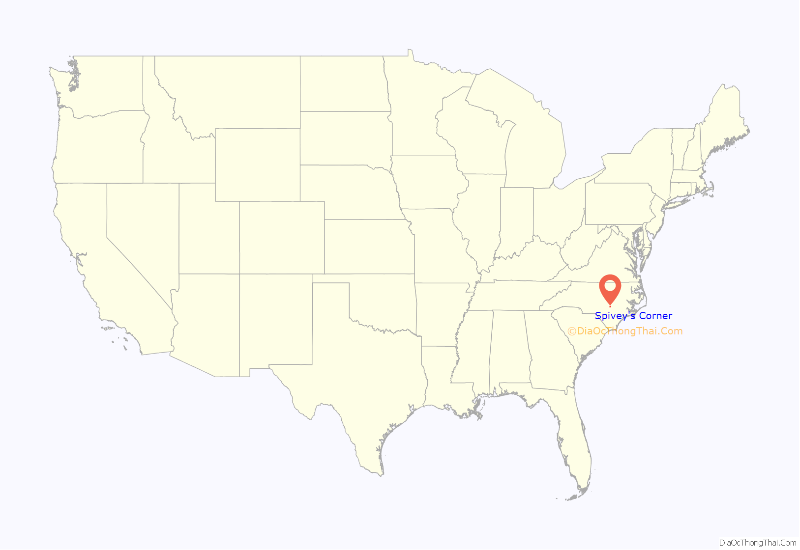
Spivey’s Corner location map. Where is Spivey’s Corner CDP?
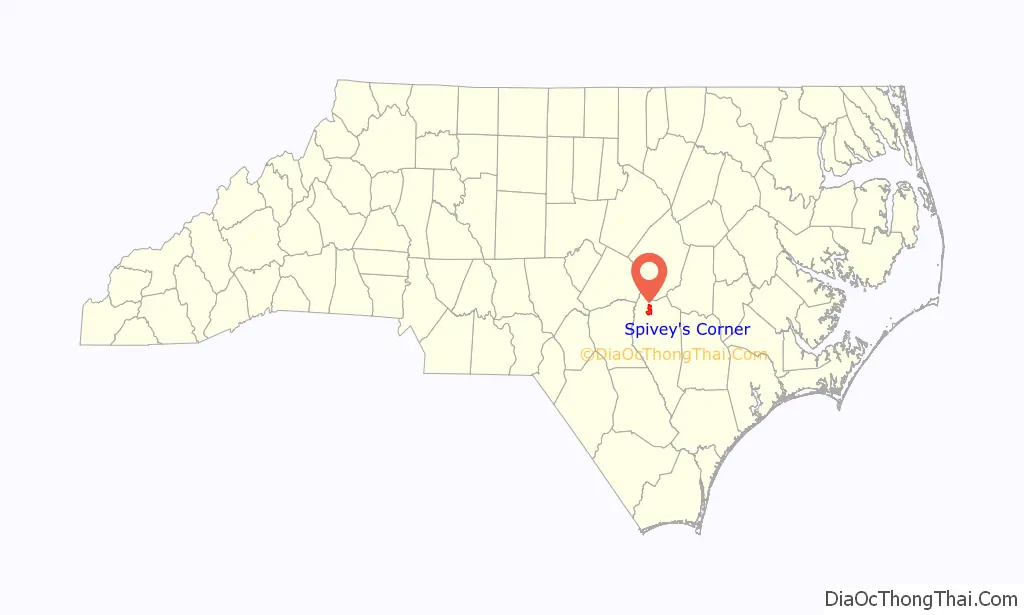
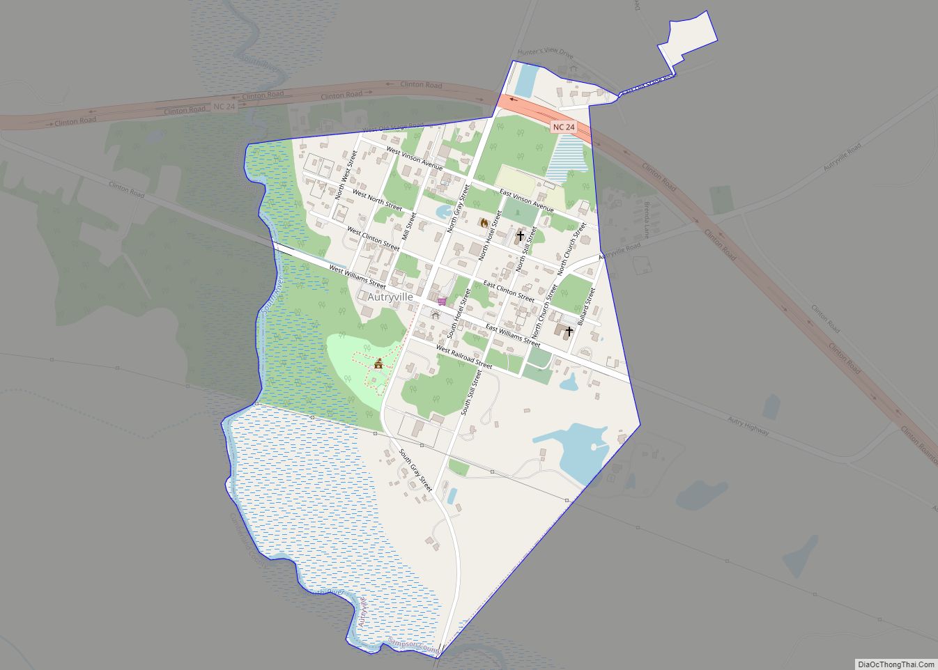
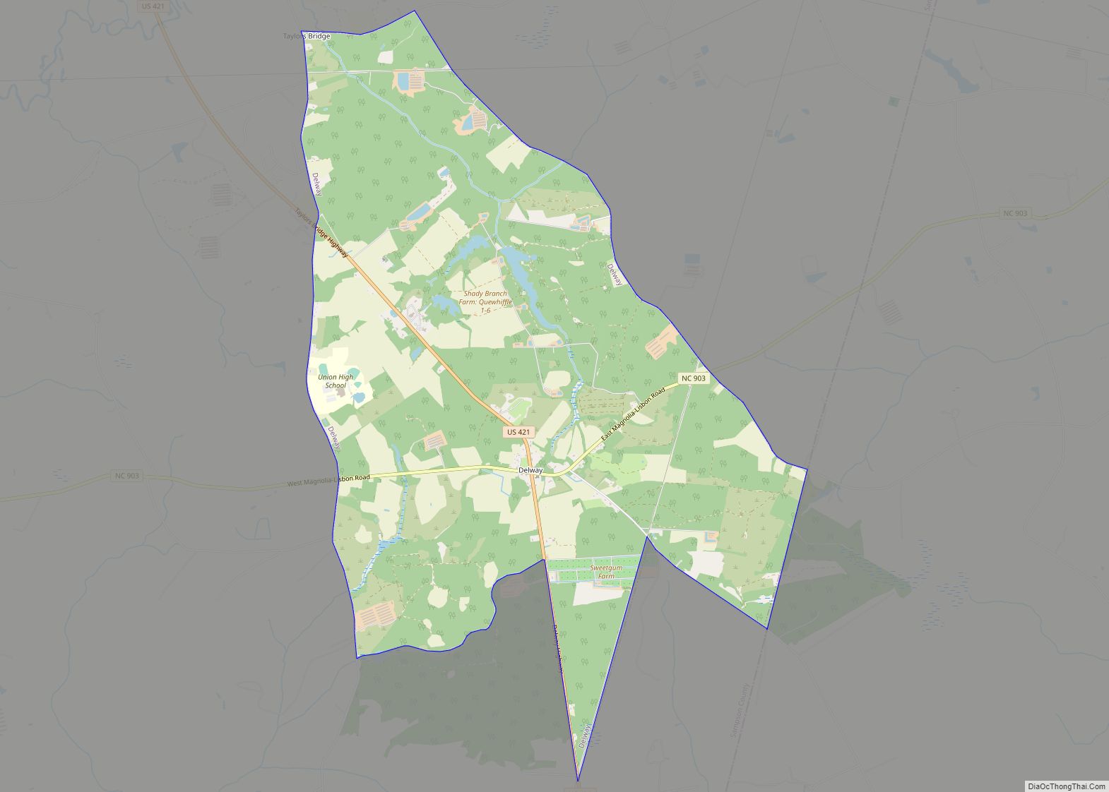
Spivey’s Corner Road Map
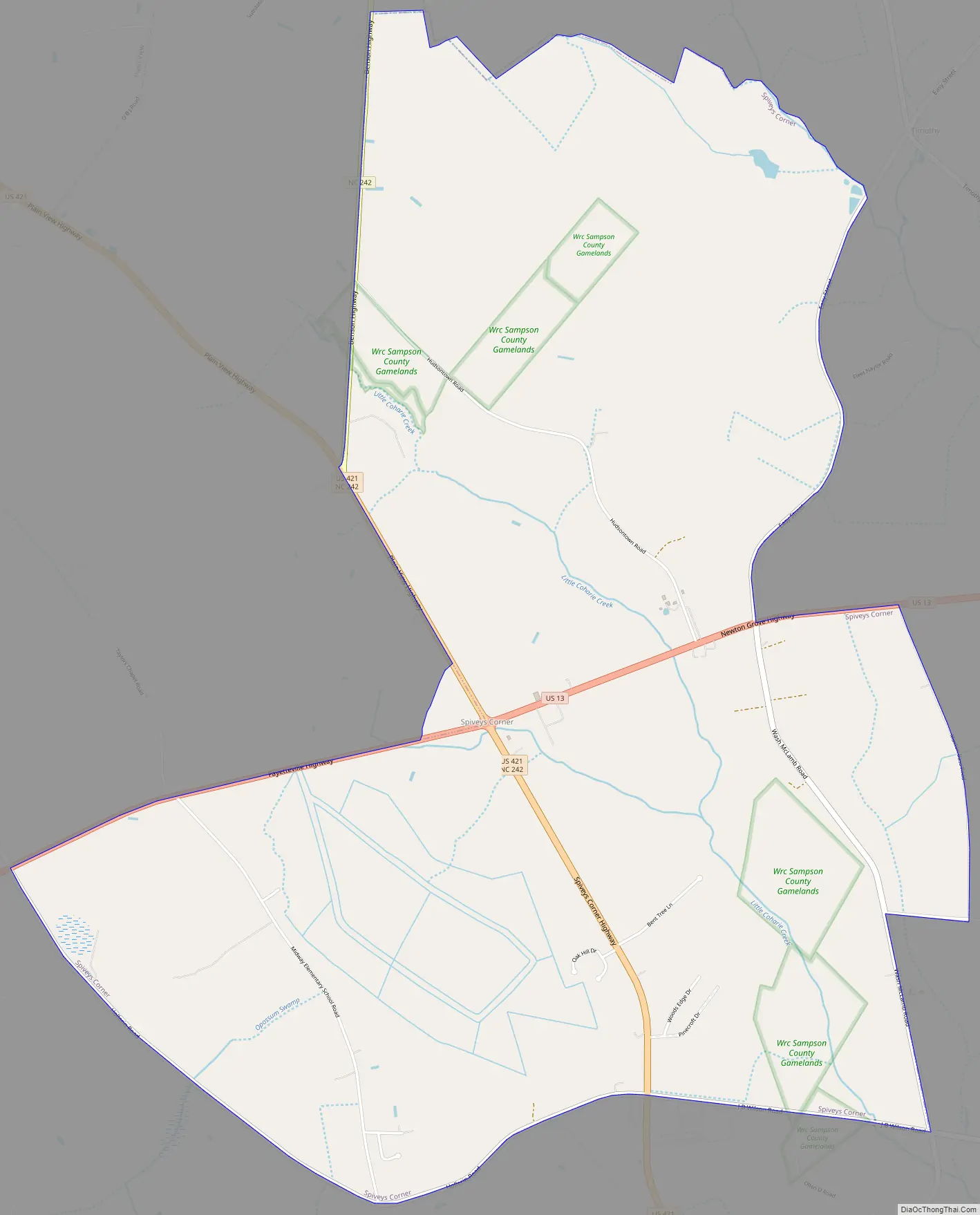
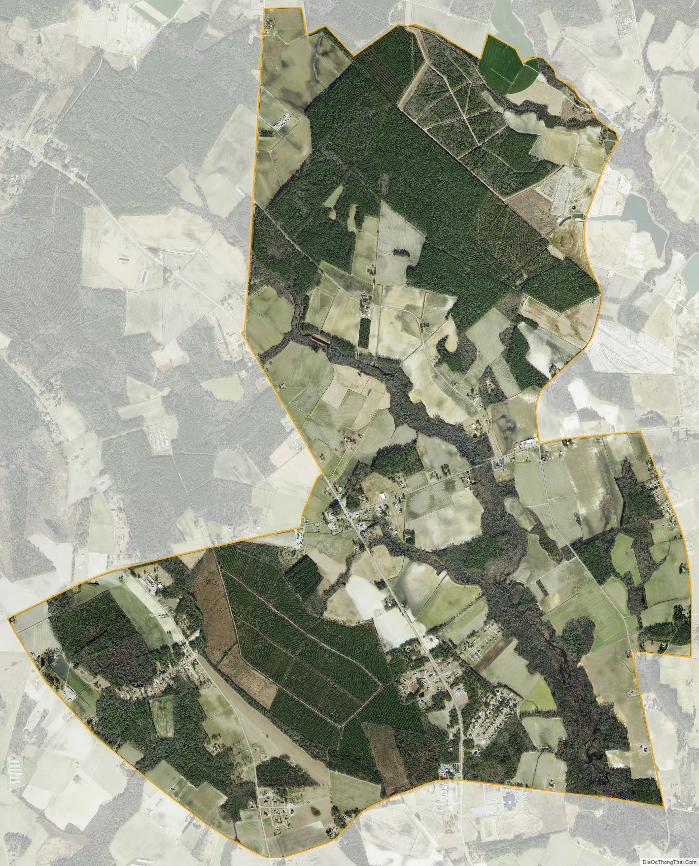
Spivey’s Corner city Satellite Map
Geography
Spivey’s Corner is located at 35°12’6″ North, 78°29’8″ West (35.201600, -78.485572).
According to the United States Census Bureau, the CDP has a total area of 7.8 square miles (20 km), all land.
All land from North to South and East to West was owned by the West Family of more than thousands of acres of land, before Old Man Spivey changed the name from West Crossroads.
See also
Map of North Carolina State and its subdivision:- Alamance
- Alexander
- Alleghany
- Anson
- Ashe
- Avery
- Beaufort
- Bertie
- Bladen
- Brunswick
- Buncombe
- Burke
- Cabarrus
- Caldwell
- Camden
- Carteret
- Caswell
- Catawba
- Chatham
- Cherokee
- Chowan
- Clay
- Cleveland
- Columbus
- Craven
- Cumberland
- Currituck
- Dare
- Davidson
- Davie
- Duplin
- Durham
- Edgecombe
- Forsyth
- Franklin
- Gaston
- Gates
- Graham
- Granville
- Greene
- Guilford
- Halifax
- Harnett
- Haywood
- Henderson
- Hertford
- Hoke
- Hyde
- Iredell
- Jackson
- Johnston
- Jones
- Lee
- Lenoir
- Lincoln
- Macon
- Madison
- Martin
- McDowell
- Mecklenburg
- Mitchell
- Montgomery
- Moore
- Nash
- New Hanover
- Northampton
- Onslow
- Orange
- Pamlico
- Pasquotank
- Pender
- Perquimans
- Person
- Pitt
- Polk
- Randolph
- Richmond
- Robeson
- Rockingham
- Rowan
- Rutherford
- Sampson
- Scotland
- Stanly
- Stokes
- Surry
- Swain
- Transylvania
- Tyrrell
- Union
- Vance
- Wake
- Warren
- Washington
- Watauga
- Wayne
- Wilkes
- Wilson
- Yadkin
- Yancey
- Alabama
- Alaska
- Arizona
- Arkansas
- California
- Colorado
- Connecticut
- Delaware
- District of Columbia
- Florida
- Georgia
- Hawaii
- Idaho
- Illinois
- Indiana
- Iowa
- Kansas
- Kentucky
- Louisiana
- Maine
- Maryland
- Massachusetts
- Michigan
- Minnesota
- Mississippi
- Missouri
- Montana
- Nebraska
- Nevada
- New Hampshire
- New Jersey
- New Mexico
- New York
- North Carolina
- North Dakota
- Ohio
- Oklahoma
- Oregon
- Pennsylvania
- Rhode Island
- South Carolina
- South Dakota
- Tennessee
- Texas
- Utah
- Vermont
- Virginia
- Washington
- West Virginia
- Wisconsin
- Wyoming