Stanfield (English: /ˈstænfiːld/) is a town in Stanly County, North Carolina, United States. The population was 1,486 at the 2010 census.
| Name: | Stanfield town |
|---|---|
| LSAD Code: | 43 |
| LSAD Description: | town (suffix) |
| State: | North Carolina |
| County: | Stanly County |
| Elevation: | −600 ft (183 m) |
| Total Area: | 4.47 sq mi (11.58 km²) |
| Land Area: | 4.47 sq mi (11.58 km²) |
| Water Area: | 0.00 sq mi (0.00 km²) |
| Total Population: | 1,585 |
| Population Density: | 354.59/sq mi (136.90/km²) |
| ZIP code: | 28163 |
| Area code: | 704 |
| FIPS code: | 3764460 |
| GNISfeature ID: | 1024318 |
| Website: | www.stanfieldnc.com |
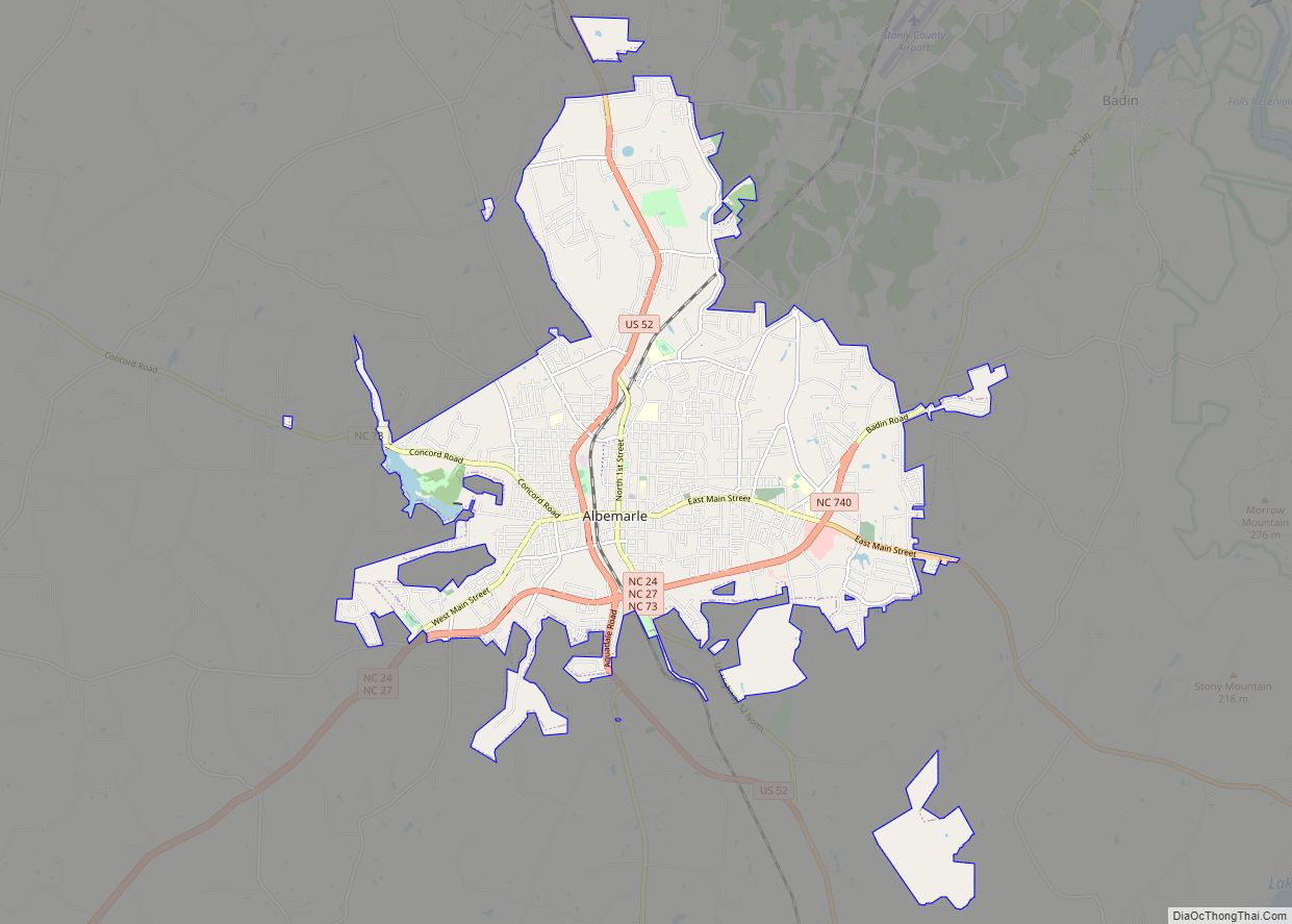
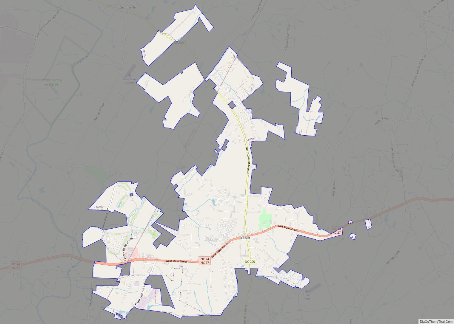
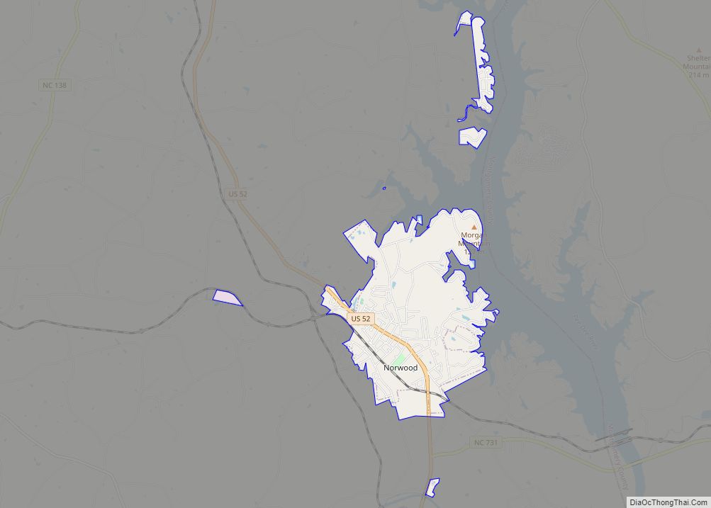
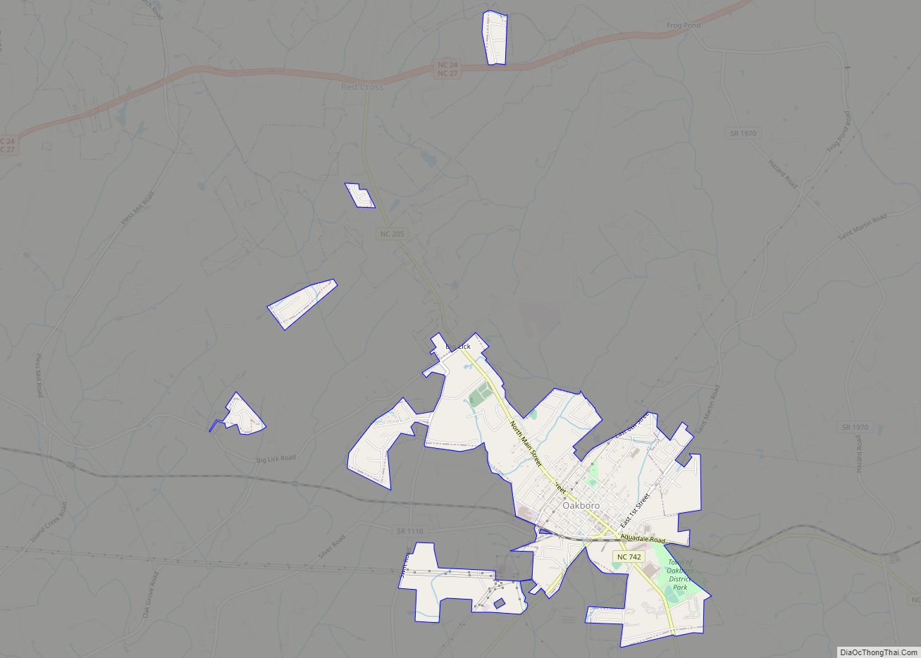
Online Interactive Map
Click on ![]() to view map in "full screen" mode.
to view map in "full screen" mode.
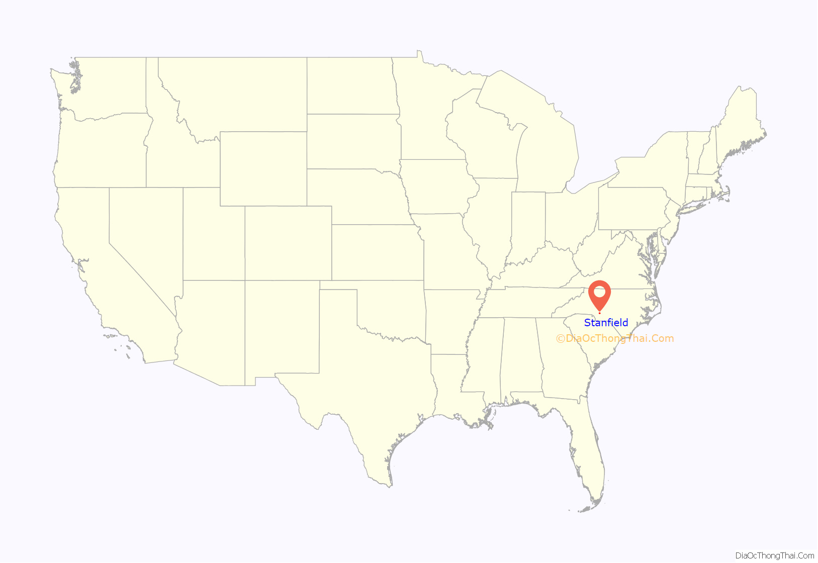
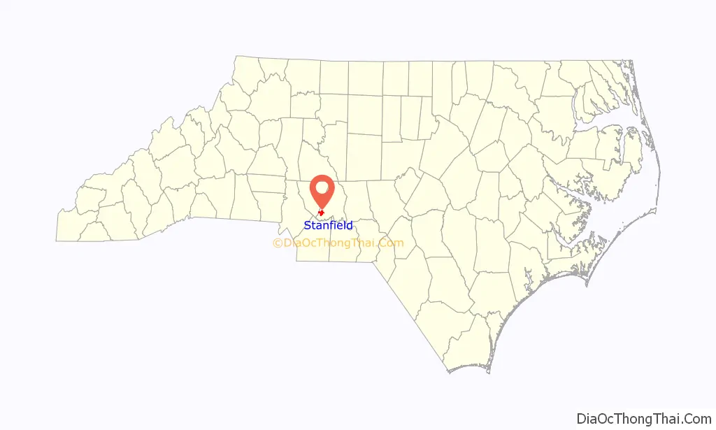
Stanfield location map. Where is Stanfield town?
History
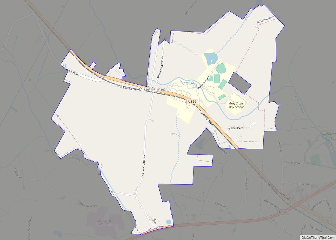
In 1912 the railroad line between Charlotte and Raleigh was completed, and the town of Stanfield was established. The town was named after an engineer who helped complete the railroad through the present day town. Once the rail line was completed, the mail was delivered by train to Stanfield, thus moving the post office from Locust to Stanfield. Three local area schools were combined to create Stanfield School. Pete Henkel Park was created in the 1970s. Today, Stanfield School is now Stanfield Elementary School that runs pre-k through the 5th grade, and the students then go to West Stanly High School in Red Cross, Stanly Early College in Albemarle or to Gray Stone Day School in Misenheimer.
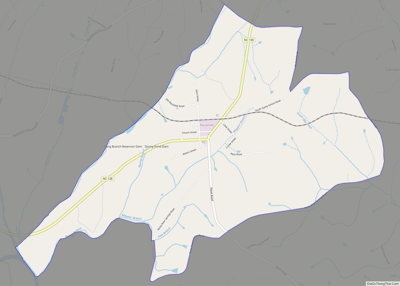
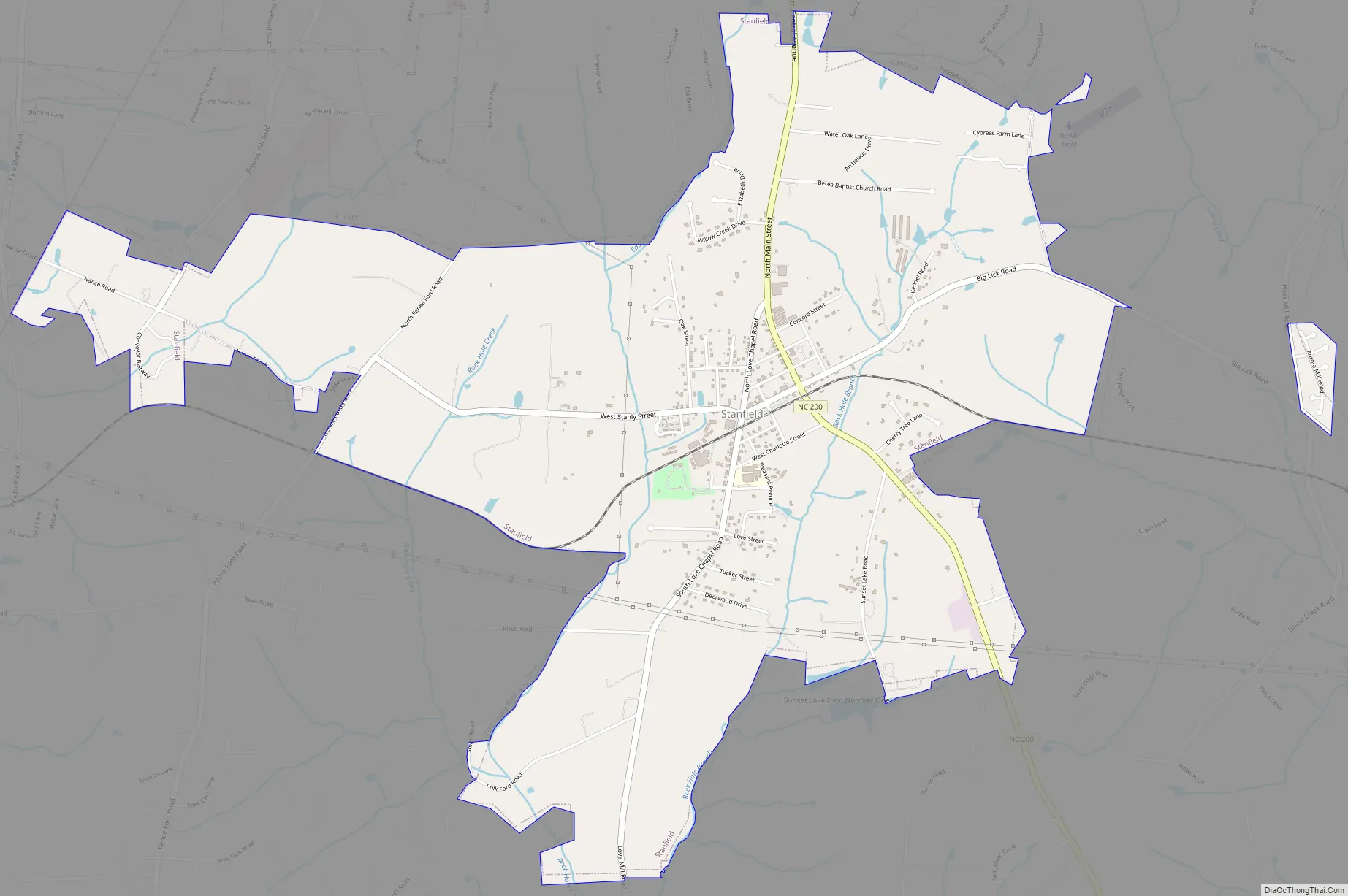
Stanfield Road Map
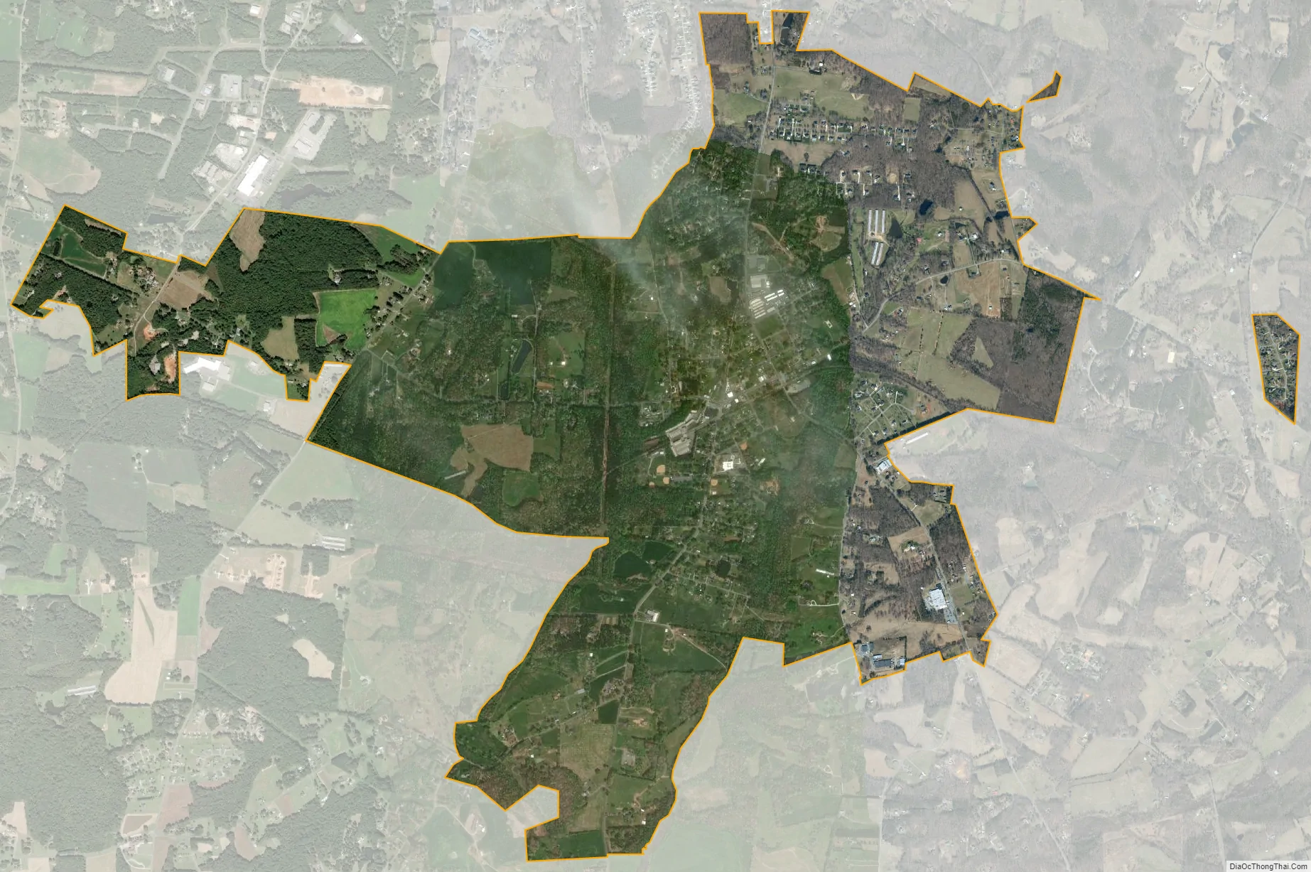
Stanfield city Satellite Map
Geography
Stanfield is located at 35°13′58″N 80°25′49″W / 35.23278°N 80.43028°W / 35.23278; -80.43028
According to the United States Census Bureau, the town has a total area of 4.5 square miles (12 km), all land.
See also
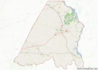
Map of North Carolina State and its subdivision:- Alamance
- Alexander
- Alleghany
- Anson
- Ashe
- Avery
- Beaufort
- Bertie
- Bladen
- Brunswick
- Buncombe
- Burke
- Cabarrus
- Caldwell
- Camden
- Carteret
- Caswell
- Catawba
- Chatham
- Cherokee
- Chowan
- Clay
- Cleveland
- Columbus
- Craven
- Cumberland
- Currituck
- Dare
- Davidson
- Davie
- Duplin
- Durham
- Edgecombe
- Forsyth
- Franklin
- Gaston
- Gates
- Graham
- Granville
- Greene
- Guilford
- Halifax
- Harnett
- Haywood
- Henderson
- Hertford
- Hoke
- Hyde
- Iredell
- Jackson
- Johnston
- Jones
- Lee
- Lenoir
- Lincoln
- Macon
- Madison
- Martin
- McDowell
- Mecklenburg
- Mitchell
- Montgomery
- Moore
- Nash
- New Hanover
- Northampton
- Onslow
- Orange
- Pamlico
- Pasquotank
- Pender
- Perquimans
- Person
- Pitt
- Polk
- Randolph
- Richmond
- Robeson
- Rockingham
- Rowan
- Rutherford
- Sampson
- Scotland
- Stanly
- Stokes
- Surry
- Swain
- Transylvania
- Tyrrell
- Union
- Vance
- Wake
- Warren
- Washington
- Watauga
- Wayne
- Wilkes
- Wilson
- Yadkin
- Yancey
- Alabama
- Alaska
- Arizona
- Arkansas
- California
- Colorado
- Connecticut
- Delaware
- District of Columbia
- Florida
- Georgia
- Hawaii
- Idaho
- Illinois
- Indiana
- Iowa
- Kansas
- Kentucky
- Louisiana
- Maine
- Maryland
- Massachusetts
- Michigan
- Minnesota
- Mississippi
- Missouri
- Montana
- Nebraska
- Nevada
- New Hampshire
- New Jersey
- New Mexico
- New York
- North Carolina
- North Dakota
- Ohio
- Oklahoma
- Oregon
- Pennsylvania
- Rhode Island
- South Carolina
- South Dakota
- Tennessee
- Texas
- Utah
- Vermont
- Virginia
- Washington
- West Virginia
- Wisconsin
- Wyoming