Brownstown is an unincorporated community and census-designated place (CDP) in West Earl Township, Lancaster County, Pennsylvania, United States. As of the 2010 census, the population was 2,816.
| Name: | Brownstown CDP |
|---|---|
| LSAD Code: | 57 |
| LSAD Description: | CDP (suffix) |
| State: | Pennsylvania |
| County: | Lancaster County |
| Elevation: | 340 ft (100 m) |
| Total Area: | 2.54 sq mi (6.57 km²) |
| Land Area: | 2.49 sq mi (6.44 km²) |
| Water Area: | 0.05 sq mi (0.13 km²) |
| Total Population: | 3,081 |
| Population Density: | 1,239.34/sq mi (478.50/km²) |
| ZIP code: | 17508 |
| Area code: | 717 |
| FIPS code: | 4209416 |
| GNISfeature ID: | 1170414 |
Online Interactive Map
Click on ![]() to view map in "full screen" mode.
to view map in "full screen" mode.
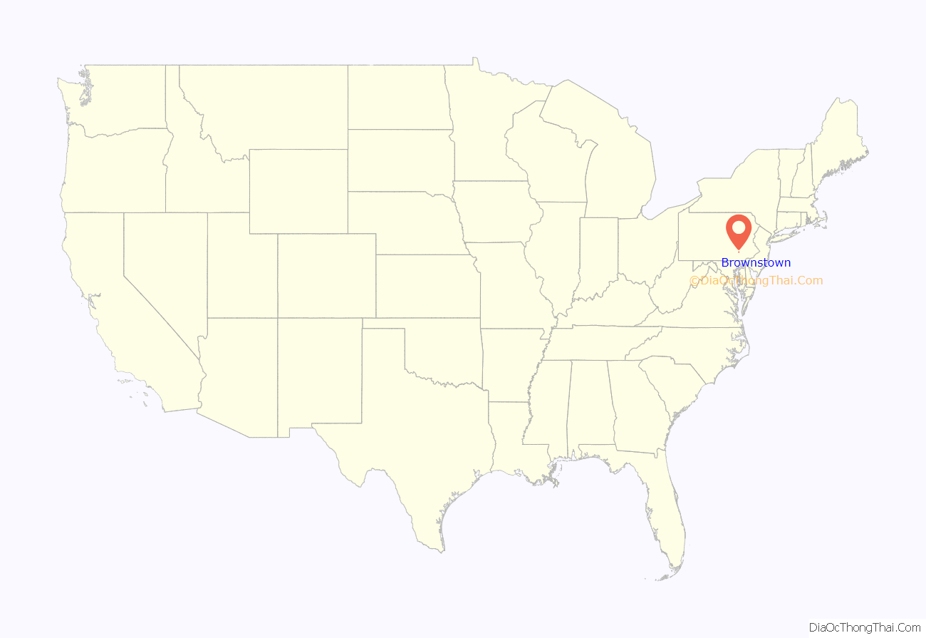
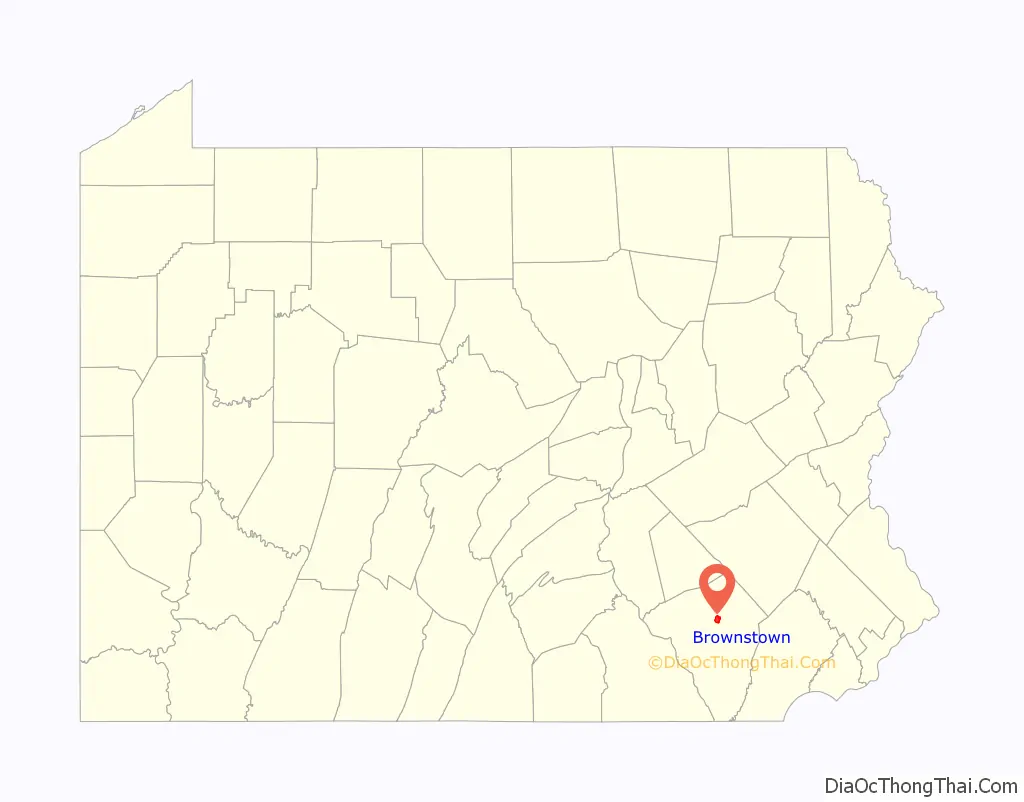
Brownstown location map. Where is Brownstown CDP?
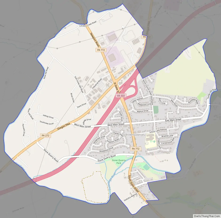
Brownstown Road Map
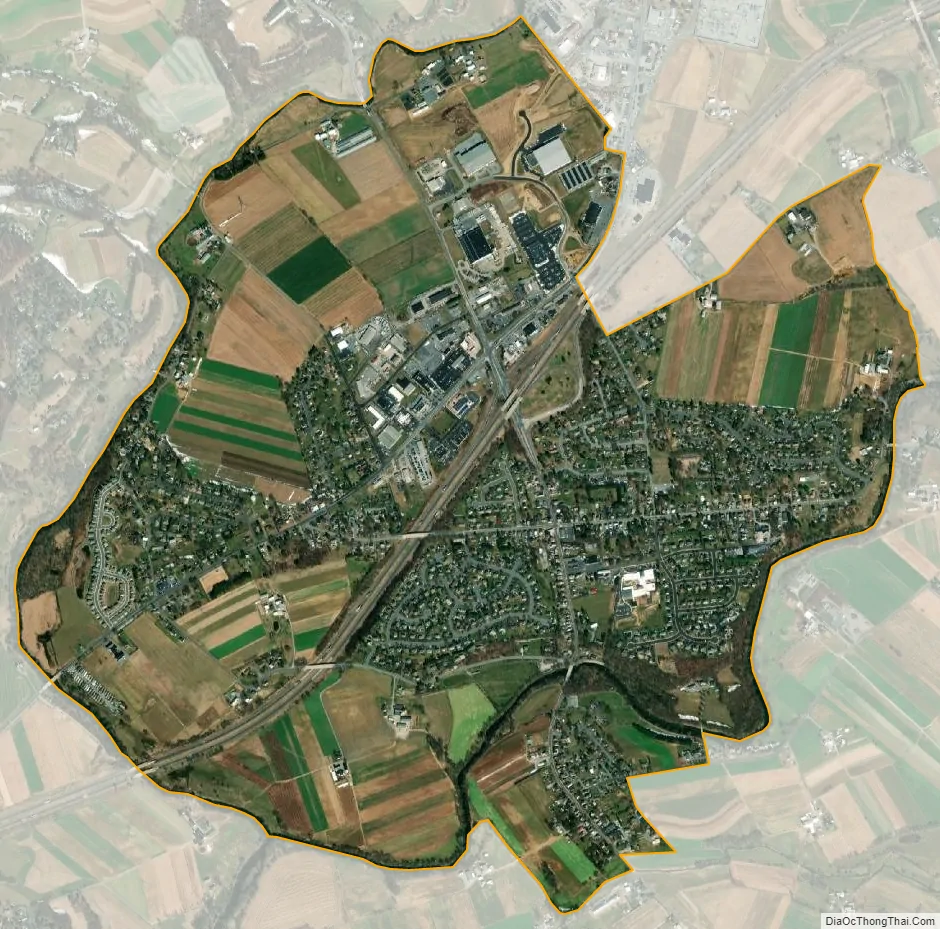
Brownstown city Satellite Map
Geography
Brownstown is in central Lancaster County, in the western section of West Earl Township. It is 5 miles (8 km) southwest of Ephrata and 9 miles (14 km) northeast of Lancaster, the county seat.
The main route through Brownstown is Pennsylvania Route 772 (South State Street), which leads northwest 6 miles (10 km) to Lititz and southeast 3 miles (5 km) to Leola. U.S. Route 222, a four-lane expressway, runs just to the west of the center of town, with access via an interchange with PA 772. US 222 leads northeast 24 miles (39 km) to Reading and southwest to Lancaster. Route 272 runs parallel to and northwest of Route 222. The intersection of routes 772 and 272 is currently one of the most heavily traveled areas in Lancaster County.
According to the U.S. Census Bureau, the Brownstown CDP has a total area of 2.5 square miles (6.6 km), of which 0.04 square miles (0.1 km), or 1.92%, are water. The Conestoga River forms the southern boundary of the community, and Cocalico Creek forms the western boundary (and of West Earl Township), joining the Conestoga southwest of the center of town. It is part of the Susquehanna River watershed.
See also
Map of Pennsylvania State and its subdivision:- Adams
- Allegheny
- Armstrong
- Beaver
- Bedford
- Berks
- Blair
- Bradford
- Bucks
- Butler
- Cambria
- Cameron
- Carbon
- Centre
- Chester
- Clarion
- Clearfield
- Clinton
- Columbia
- Crawford
- Cumberland
- Dauphin
- Delaware
- Elk
- Erie
- Fayette
- Forest
- Franklin
- Fulton
- Greene
- Huntingdon
- Indiana
- Jefferson
- Juniata
- Lackawanna
- Lancaster
- Lawrence
- Lebanon
- Lehigh
- Luzerne
- Lycoming
- Mc Kean
- Mercer
- Mifflin
- Monroe
- Montgomery
- Montour
- Northampton
- Northumberland
- Perry
- Philadelphia
- Pike
- Potter
- Schuylkill
- Snyder
- Somerset
- Sullivan
- Susquehanna
- Tioga
- Union
- Venango
- Warren
- Washington
- Wayne
- Westmoreland
- Wyoming
- York
- Alabama
- Alaska
- Arizona
- Arkansas
- California
- Colorado
- Connecticut
- Delaware
- District of Columbia
- Florida
- Georgia
- Hawaii
- Idaho
- Illinois
- Indiana
- Iowa
- Kansas
- Kentucky
- Louisiana
- Maine
- Maryland
- Massachusetts
- Michigan
- Minnesota
- Mississippi
- Missouri
- Montana
- Nebraska
- Nevada
- New Hampshire
- New Jersey
- New Mexico
- New York
- North Carolina
- North Dakota
- Ohio
- Oklahoma
- Oregon
- Pennsylvania
- Rhode Island
- South Carolina
- South Dakota
- Tennessee
- Texas
- Utah
- Vermont
- Virginia
- Washington
- West Virginia
- Wisconsin
- Wyoming


