Clay is an unincorporated community and census-designated place (CDP) in Clay Township, Lancaster County, Pennsylvania, United States. It is located along U.S. Route 322 between Brickerville and Ephrata. As of the 2010 census, the population was 1,559.
| Name: | Clay CDP |
|---|---|
| LSAD Code: | 57 |
| LSAD Description: | CDP (suffix) |
| State: | Pennsylvania |
| County: | Lancaster County |
| Elevation: | 359 ft (109 m) |
| Total Area: | 2.25 sq mi (5.82 km²) |
| Land Area: | 2.24 sq mi (5.79 km²) |
| Water Area: | 0.01 sq mi (0.03 km²) |
| Total Population: | 1,869 |
| Population Density: | 835.87/sq mi (322.73/km²) |
| ZIP code: | 17522 (Ephrata) |
| Area code: | 717 |
| FIPS code: | 4213952 |
| GNISfeature ID: | 1171942 |
Online Interactive Map
Click on ![]() to view map in "full screen" mode.
to view map in "full screen" mode.
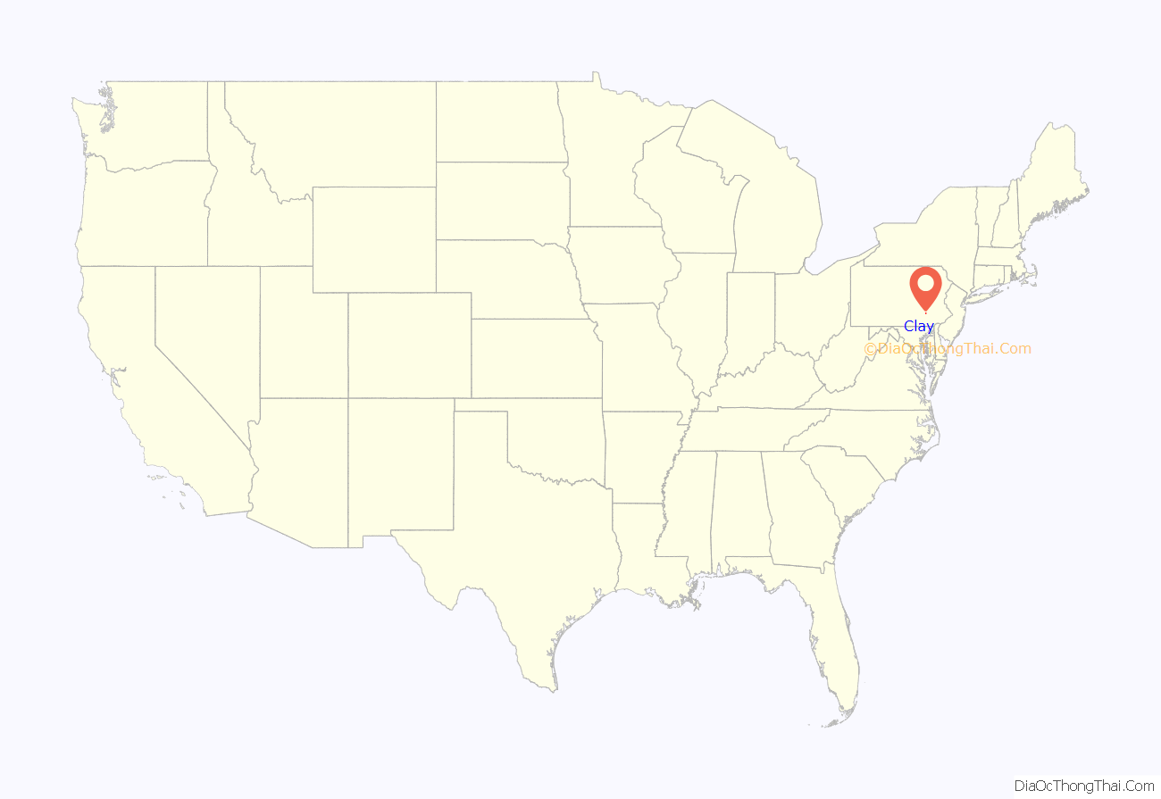
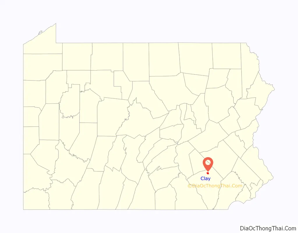
Clay location map. Where is Clay CDP?
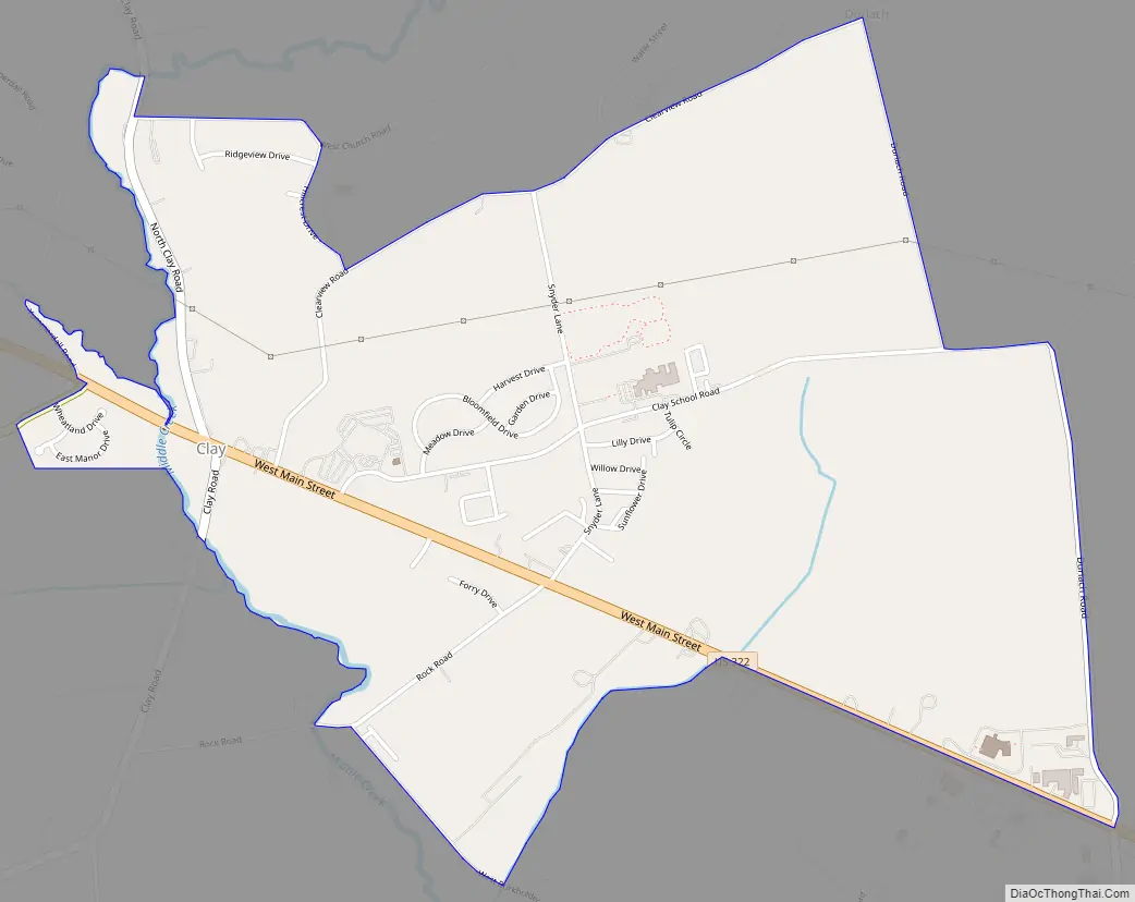
Clay Road Map
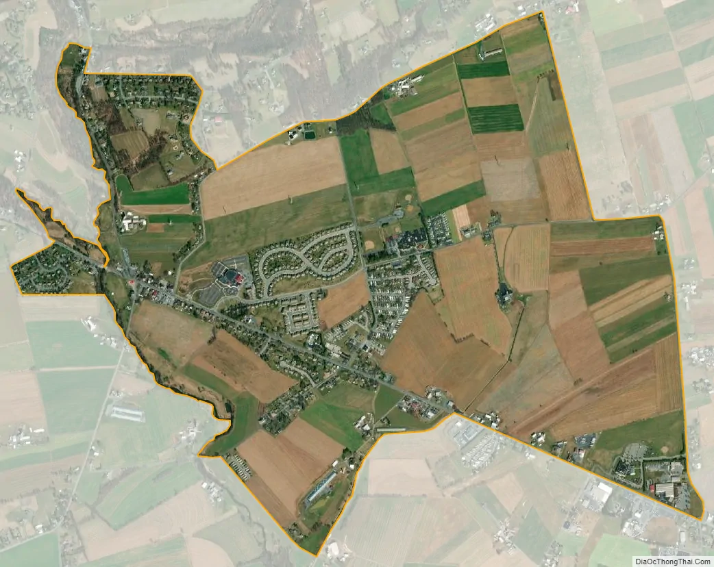
Clay city Satellite Map
Geography
Clay is in northern Lancaster County, in the southern part of Clay Township. Clay is bordered by Hopeland to the west and northwest. US 322 leads northwest 12 miles (19 km) to Quentin and southeast 5 miles (8 km) to Ephrata. It is 14 miles (23 km) north of Lancaster, the county seat.
According to the U.S. Census Bureau, the Clay CDP has a total area of 2.2 square miles (5.8 km), of which 0.01 square miles (0.03 km), or 0.49%, are water. Middle Creek, which forms the border between Clay Township and Elizabeth Township, runs through the west side of the community, flowing southeast towards Cocalico Creek, a tributary of the Conestoga River and part of the Susquehanna River watershed.
See also
Map of Pennsylvania State and its subdivision:- Adams
- Allegheny
- Armstrong
- Beaver
- Bedford
- Berks
- Blair
- Bradford
- Bucks
- Butler
- Cambria
- Cameron
- Carbon
- Centre
- Chester
- Clarion
- Clearfield
- Clinton
- Columbia
- Crawford
- Cumberland
- Dauphin
- Delaware
- Elk
- Erie
- Fayette
- Forest
- Franklin
- Fulton
- Greene
- Huntingdon
- Indiana
- Jefferson
- Juniata
- Lackawanna
- Lancaster
- Lawrence
- Lebanon
- Lehigh
- Luzerne
- Lycoming
- Mc Kean
- Mercer
- Mifflin
- Monroe
- Montgomery
- Montour
- Northampton
- Northumberland
- Perry
- Philadelphia
- Pike
- Potter
- Schuylkill
- Snyder
- Somerset
- Sullivan
- Susquehanna
- Tioga
- Union
- Venango
- Warren
- Washington
- Wayne
- Westmoreland
- Wyoming
- York
- Alabama
- Alaska
- Arizona
- Arkansas
- California
- Colorado
- Connecticut
- Delaware
- District of Columbia
- Florida
- Georgia
- Hawaii
- Idaho
- Illinois
- Indiana
- Iowa
- Kansas
- Kentucky
- Louisiana
- Maine
- Maryland
- Massachusetts
- Michigan
- Minnesota
- Mississippi
- Missouri
- Montana
- Nebraska
- Nevada
- New Hampshire
- New Jersey
- New Mexico
- New York
- North Carolina
- North Dakota
- Ohio
- Oklahoma
- Oregon
- Pennsylvania
- Rhode Island
- South Carolina
- South Dakota
- Tennessee
- Texas
- Utah
- Vermont
- Virginia
- Washington
- West Virginia
- Wisconsin
- Wyoming


