Lancaster (/ˈlæŋkɪstər/ LANG-ki-stər; Pennsylvania German: Lengeschder) is a city in and the county seat of Lancaster County, Pennsylvania, and one of the oldest inland cities in the United States. With a population at the 2020 census of 58,039, it ranks 11th in population among Pennsylvania’s municipalities. The Lancaster metropolitan area population is 552,984, making it the 104th-largest metropolitan area in the U.S. and second-largest in the South Central Pennsylvania area.
The city’s primary industries include healthcare, tourism, public administration, manufacturing, and both professional and semi-professional services. Lancaster is a hub of Pennsylvania’s Dutch Country.
Lancaster is located 59 miles (95 km) southwest of Allentown and 61 miles (98 km) west of Philadelphia.
| Name: | Lancaster city |
|---|---|
| LSAD Code: | 25 |
| LSAD Description: | city (suffix) |
| State: | Pennsylvania |
| County: | Lancaster County |
| Founded: | 1729 |
| Elevation: | 368 ft (112 m) |
| Land Area: | 7.23 sq mi (18.72 km²) |
| Water Area: | 0.12 sq mi (0.31 km²) |
| Population Density: | 8,030.86/sq mi (3,100.60/km²) |
| FIPS code: | 4241216 |
| Website: | cityoflancasterpa.com |
Online Interactive Map
Click on ![]() to view map in "full screen" mode.
to view map in "full screen" mode.
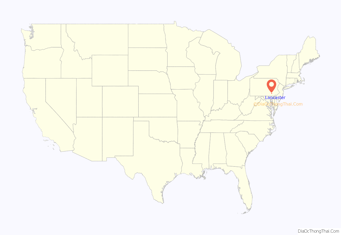
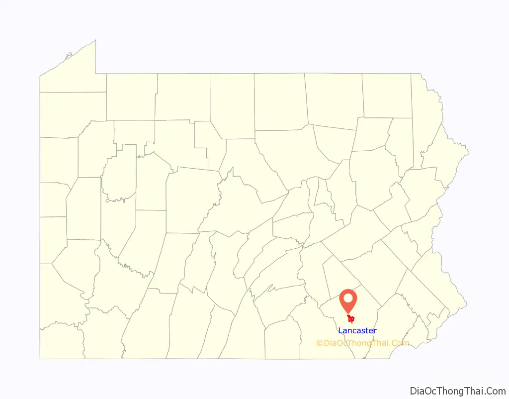
Lancaster location map. Where is Lancaster city?
History
18th century
Originally called Hickory Town, the city was renamed after the English city of Lancaster by native John Wright. Its symbol, the red rose, is from the House of Lancaster. Lancaster was part of the 1681 Penn’s Woods Charter of William Penn, and was laid out by James Hamilton in 1734. It was incorporated as a borough in 1742 and incorporated as a city in 1818.
During the American Revolution, Lancaster served for one day as the temporary capital of the United States, seated at the Court House (built 1739, destroyed by fire in 1784 and rebuilt before relocating to current Lancaster County Courthouse in 1852; original site is now the Soldiers & Sailors Monument at Penn Square c. 1874), on September 27, 1777, after the Continental Congress fled Philadelphia, which had been captured by the British. The revolutionary government then moved still farther away to York, Pennsylvania.
19th century
Lancaster was the capital of Pennsylvania from 1799 to 1812, with the state capital located at the Court House (built 1784 and demolished 1852 and now site of Soldiers & Sailors Monument at Penn Square). In 1812, the capital was moved to Harrisburg, where it has remained since.
U.S. census reports show that, from 1800 to 1900, Lancaster ranked among the nation’s top 100 most populous urban areas.
In 1851, the current Lancaster County Prison, known locally as Lancaster Castle, was built in the city but shares no visual similarities with the Lancaster Castle in England. The prison remains in use, and was used for public hangings until 1912. It replaced a 1737 structure on a different site.
The first long-distance paved road in the United States was the former Philadelphia and Lancaster Turnpike, which connected the cities of Lancaster and Philadelphia. Opened in 1795, the turnpike was paved with stone the whole way, and overlaid with gravel. The sixty-two-mile turnpike cost more than $450,000, a staggering sum for the time. The route followed what is now Pennsylvania Route 340 (also called the “Old Philadelphia Pike”) from Lancaster to Thorndale and U.S. Route 30 Business and U.S. Route 30 from Thorndale to Philadelphia.
The city of Lancaster was home to several important figures in American history. Wheatland, the estate of James Buchanan, the fifteenth President of the United States, is one of Lancaster’s most popular attractions. Thaddeus Stevens, considered among the most powerful members of the United States House of Representatives, lived in Lancaster as an attorney. Stevens gained notoriety as a Radical Republican and for his abolitionism. The Fulton Opera House in the city was named for Lancaster native Robert Fulton, a renaissance man who created the first fully functional steamboat. All of these individuals have had local schools named after them.
After the American Revolutionary War, Lancaster became an iron-foundry center. Two of the most common products needed by pioneers to settle the Frontier were manufactured in Lancaster: the Conestoga wagon and the Pennsylvania long rifle. The Conestoga wagon was named after the Conestoga River, which runs through the city. The innovative gunsmith William Henry lived in Lancaster and was a U.S. Congressman and leader during and after the American Revolution.
In 1803, Meriwether Lewis visited Lancaster to be educated in survey methods by the well-known surveyor Andrew Ellicott. During his visit, Lewis learned to plot latitude and longitude as part of his overall training needed to lead the Lewis and Clark Expedition.
In 1879, Franklin Winfield Woolworth opened his first successful five and dime store in the city of Lancaster, the F. W. Woolworth Company.
20th and 21st centuries
Lancaster was one of the winning communities for the All-America City award in 2000.
In 2009, a community organization installed and began monitoring 164 closed-circuit cameras in Lancaster, which engendered some local opposition.
On October 13, 2011, Lancaster’s City Council officially recognized September 27 as Capital Day, a holiday recognizing Lancaster’s one day as capital of the United States in 1777.
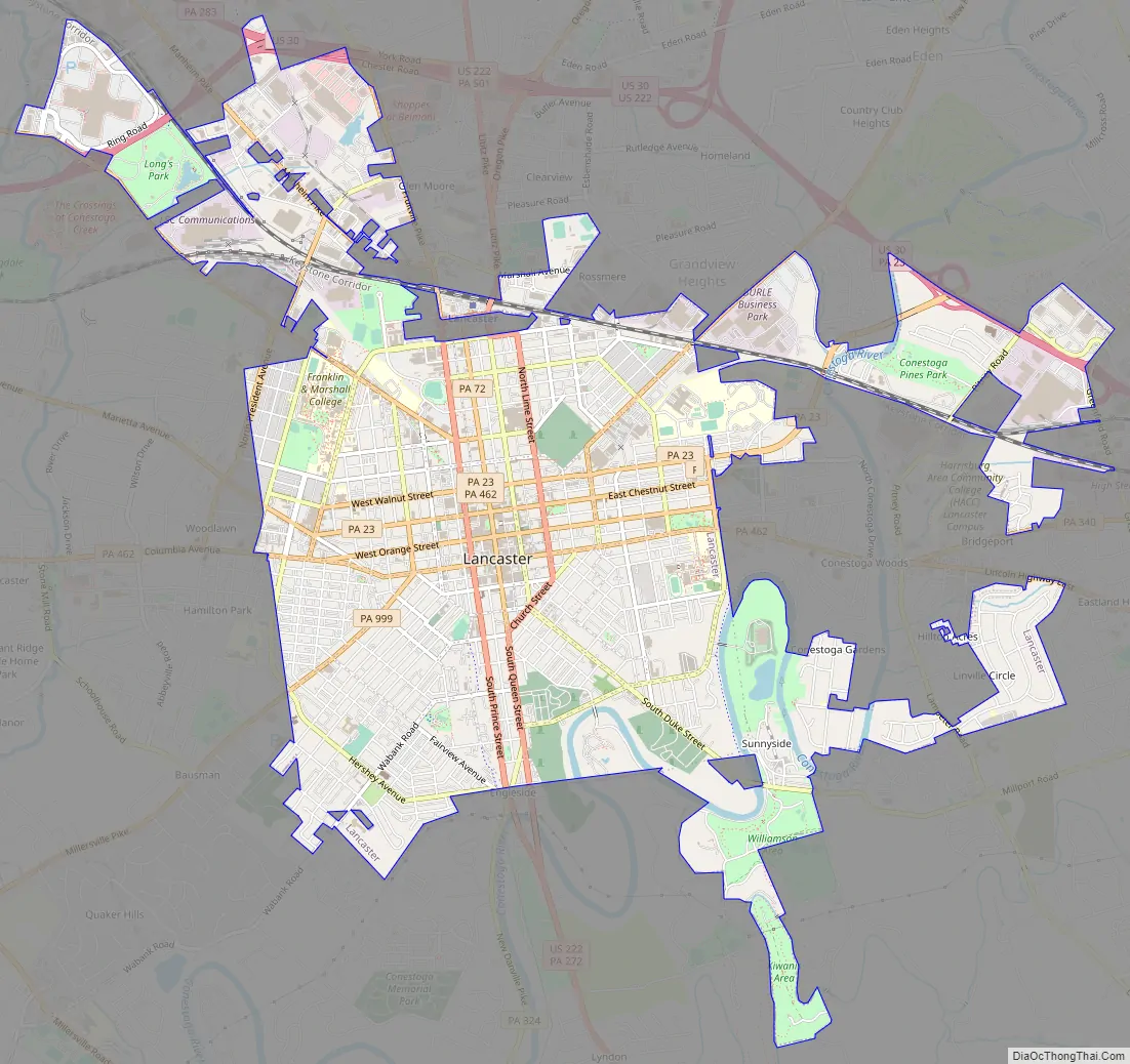
Lancaster Road Map
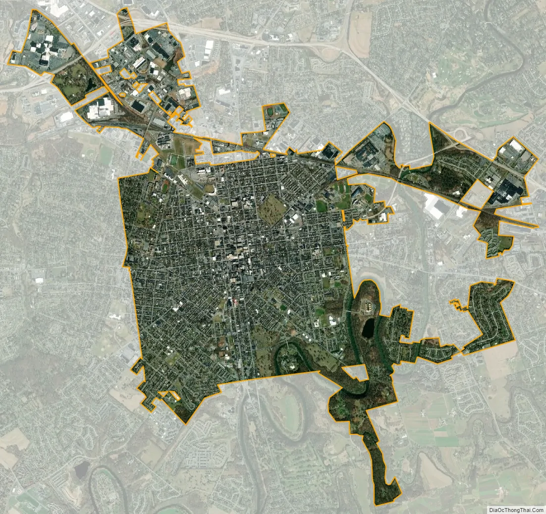
Lancaster city Satellite Map
Geography
Lancaster is located in the Piedmont region of Pennsylvania. According to the U.S. Census Bureau, the city has a total area of 7.4 square miles (19 km), of which 7.4 square miles (19 km) is land and 0.14% is water.
Neighborhoods
- Cabbage Hill/The Hill (named for the cabbage patches kept by ethnic Germans in this area)
- Chestnut Hill
- Downtown/Center City
- Downtown Investment District
- Historic East Side
- Eighth Ward
- Gallery Row/Arts District
- Galebach Ward
- Northwest Corridor
- Penn Square
- Prospect Heights
- Seventh Ward
- Sixth Ward
- Uptown
- West End
- Woodward Hill
Climate
Under the Köppen climate classification, Lancaster falls within either a hot-summer humid continental climate (Dfa) if the 0 °C (32 °F) isotherm is used or a humid subtropical climate (Cfa) if the −3 °C (27 °F) isotherm is used. The hottest recorded temperature in the city was 103 °F (39 °C) on July 23, 2011, while the coldest recorded temperature was −16 °F (−27 °C) on January 22, 1984. On average, the city receives 42 inches of precipitation a year. September is the wettest month of the year and February the driest. The snowiest winter on record for Lancaster was the winter of 2009-10 when 72 inches of snow fell and the smallest amount of snow on record was when four inches fell during the winter of 1949–50. The highest recorded January temperature was 77 °F (25 °C) on January 26, 1950, and the coldest July temperature 42 °F (6 °C) on July 4, 1918.
On average, the city receives 203 days of sun a year. The shortest days of the year are between December 18 and December 25, when day length is nine hours and 19 minutes. The sun reaches its lowest point in the sky of 26° between December 11 and December 31. The longest days of the year are June 19 to June 23, reaching 15 hours and one minute. The sun reaches its highest point in the sky of 73° from June 10 to July 2.
See also
Map of Pennsylvania State and its subdivision:- Adams
- Allegheny
- Armstrong
- Beaver
- Bedford
- Berks
- Blair
- Bradford
- Bucks
- Butler
- Cambria
- Cameron
- Carbon
- Centre
- Chester
- Clarion
- Clearfield
- Clinton
- Columbia
- Crawford
- Cumberland
- Dauphin
- Delaware
- Elk
- Erie
- Fayette
- Forest
- Franklin
- Fulton
- Greene
- Huntingdon
- Indiana
- Jefferson
- Juniata
- Lackawanna
- Lancaster
- Lawrence
- Lebanon
- Lehigh
- Luzerne
- Lycoming
- Mc Kean
- Mercer
- Mifflin
- Monroe
- Montgomery
- Montour
- Northampton
- Northumberland
- Perry
- Philadelphia
- Pike
- Potter
- Schuylkill
- Snyder
- Somerset
- Sullivan
- Susquehanna
- Tioga
- Union
- Venango
- Warren
- Washington
- Wayne
- Westmoreland
- Wyoming
- York
- Alabama
- Alaska
- Arizona
- Arkansas
- California
- Colorado
- Connecticut
- Delaware
- District of Columbia
- Florida
- Georgia
- Hawaii
- Idaho
- Illinois
- Indiana
- Iowa
- Kansas
- Kentucky
- Louisiana
- Maine
- Maryland
- Massachusetts
- Michigan
- Minnesota
- Mississippi
- Missouri
- Montana
- Nebraska
- Nevada
- New Hampshire
- New Jersey
- New Mexico
- New York
- North Carolina
- North Dakota
- Ohio
- Oklahoma
- Oregon
- Pennsylvania
- Rhode Island
- South Carolina
- South Dakota
- Tennessee
- Texas
- Utah
- Vermont
- Virginia
- Washington
- West Virginia
- Wisconsin
- Wyoming


