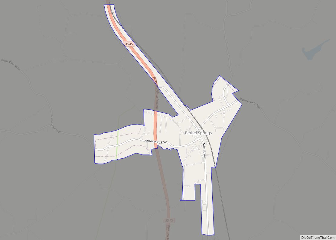
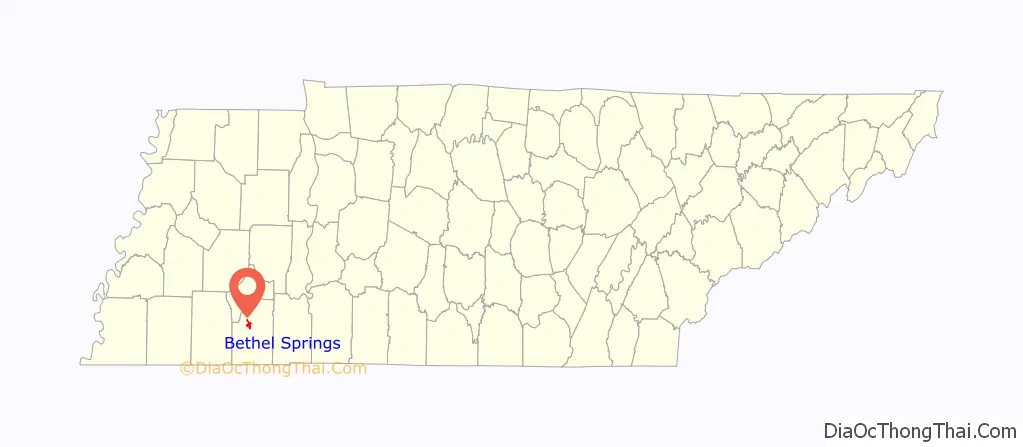
Bethel Springs is a town in McNairy County, Tennessee. The population was 998 at the 2020 census.
| Name: | Bethel Springs town |
|---|---|
| LSAD Code: | 43 |
| LSAD Description: | town (suffix) |
| State: | Tennessee |
| County: | McNairy County |
| Elevation: | 479 ft (146 m) |
| Total Area: | 2.23 sq mi (5.78 km²) |
| Land Area: | 2.23 sq mi (5.78 km²) |
| Water Area: | 0.00 sq mi (0.00 km²) |
| Total Population: | 742 |
| Population Density: | 332.29/sq mi (128.32/km²) |
| ZIP code: | 38315 |
| Area code: | 731 |
| FIPS code: | 4705380 |
| GNISfeature ID: | 1305159 |
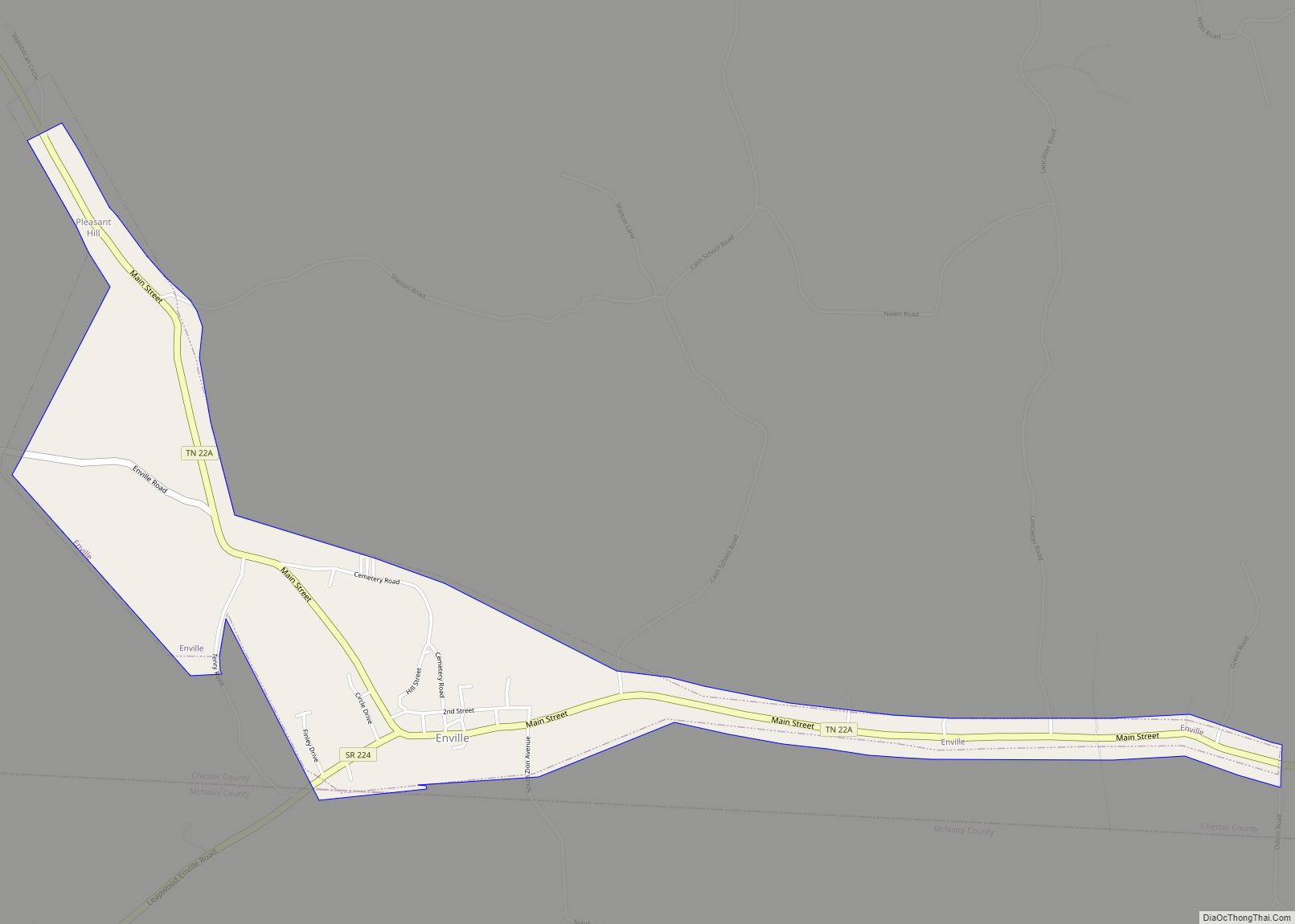
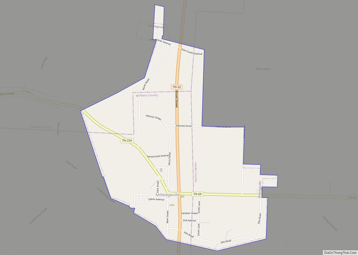
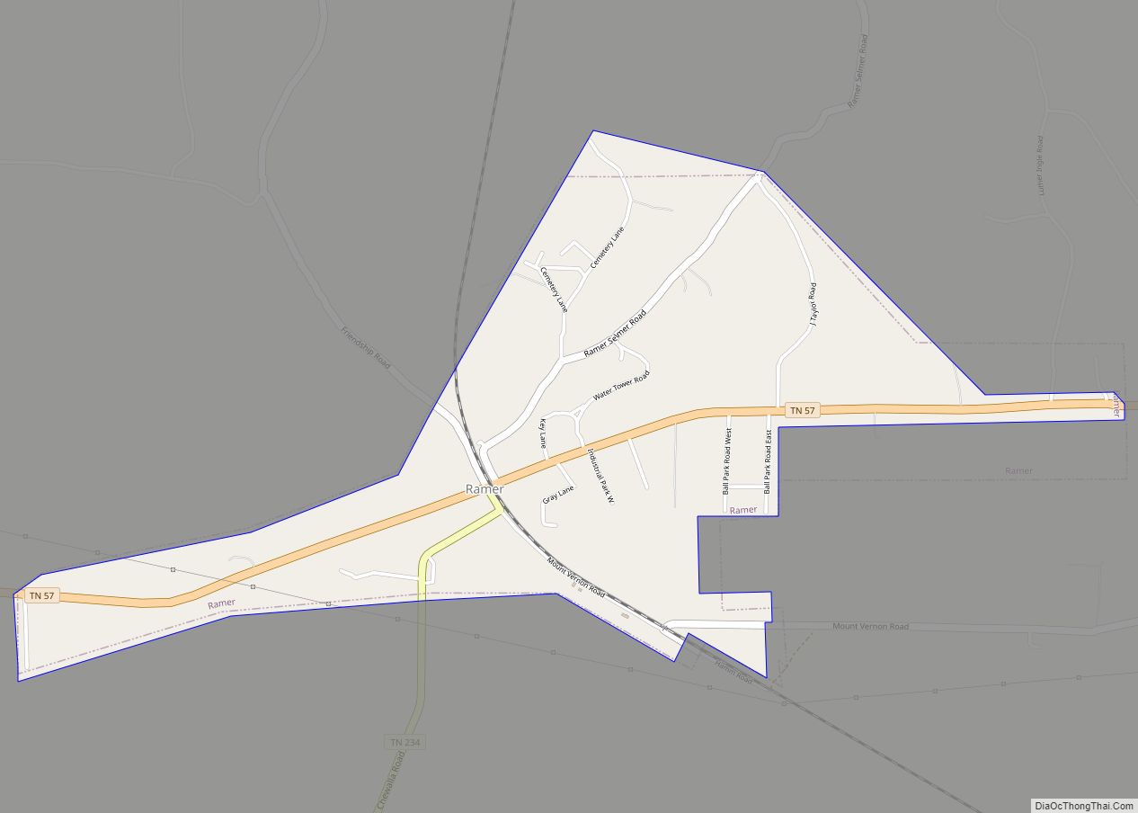
Online Interactive Map
Click on ![]() to view map in "full screen" mode.
to view map in "full screen" mode.
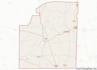
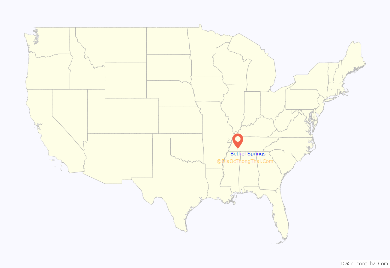
Bethel Springs location map. Where is Bethel Springs town?
History
Bethel Springs was platted in 1860, when the railroad was extended to that point. A post office called Bethel Springs has been in operation since 1866. The community took its name from a nearby spring, which in turn was named after the Bethel Presbyterian Church. On March 31st, 2023, a tornado hit the city, killing 9 people and injuring dozens.
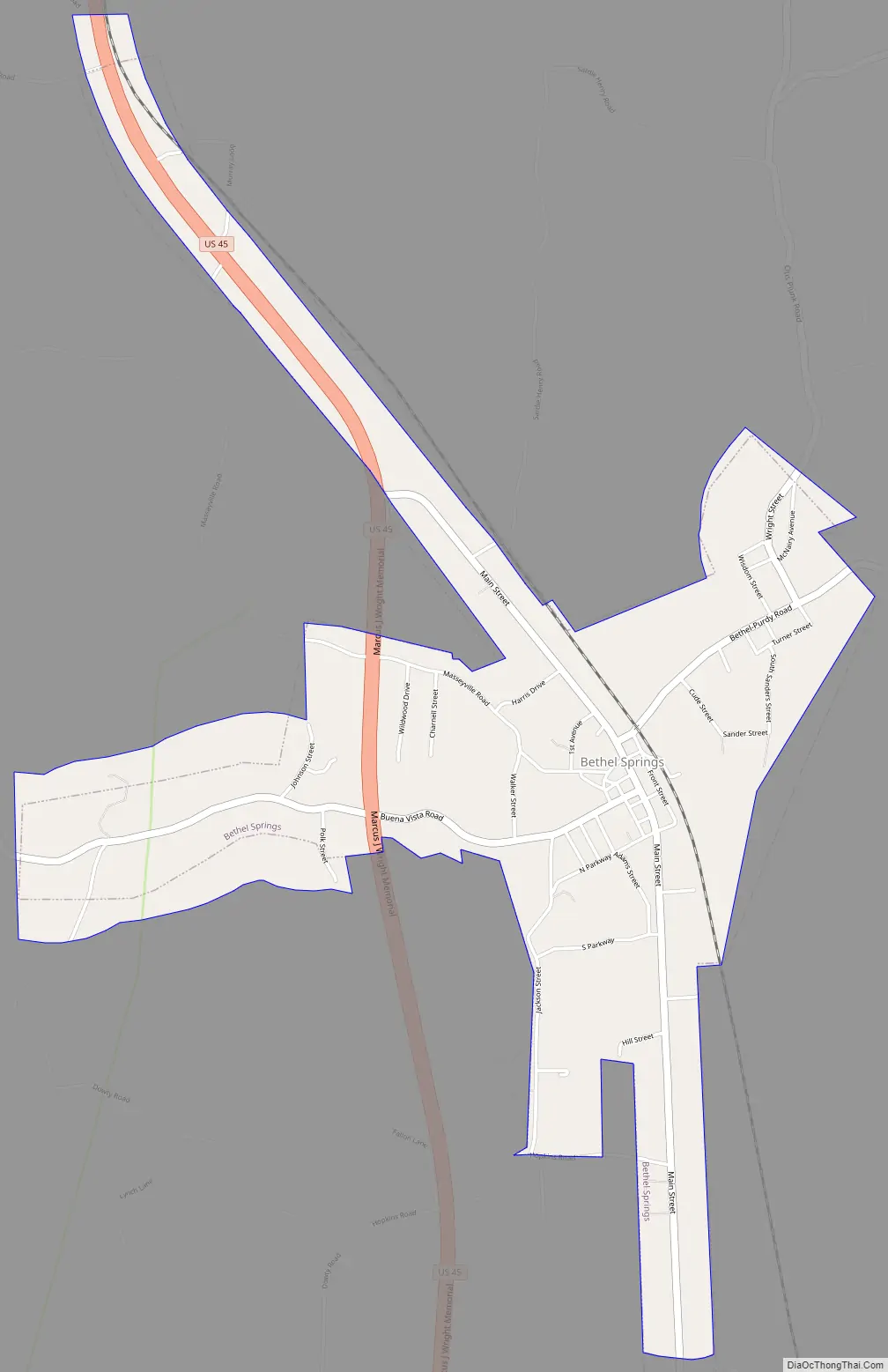
Bethel Springs Road Map
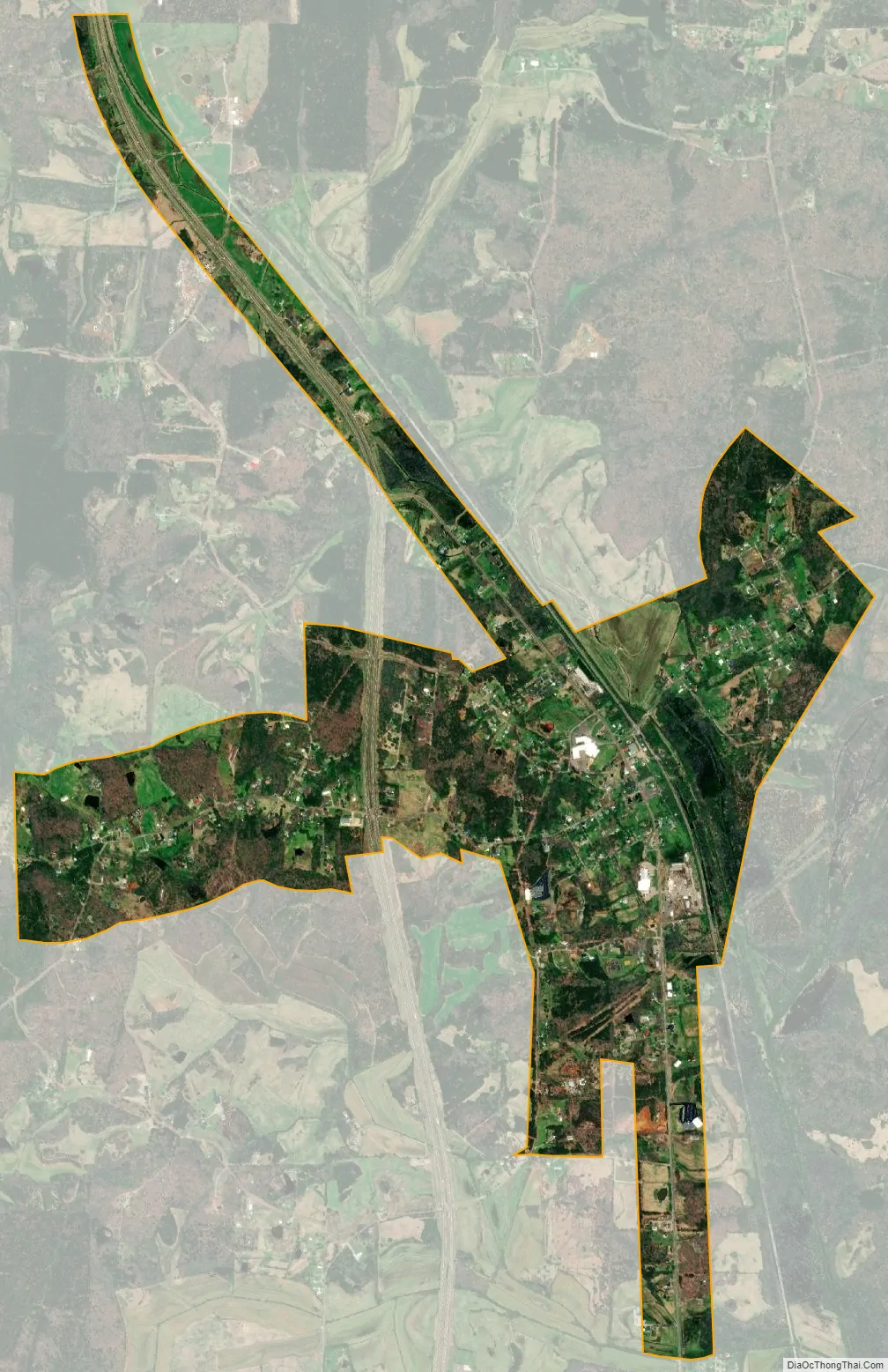
Bethel Springs city Satellite Map
Geography
Bethel Springs is located at 35°14′15″N 88°36′41″W / 35.23750°N 88.61139°W / 35.23750; -88.61139 (35.237378, -88.611429). Bethel Springs was named after a Presbyterian church that was founded in the area. Beth-El in Hebrew literally means “house of God”.
According to the United States Census Bureau, the town has a total area of 2.2 square miles (5.7 km), all land.
See also
Map of Tennessee State and its subdivision:- Anderson
- Bedford
- Benton
- Bledsoe
- Blount
- Bradley
- Campbell
- Cannon
- Carroll
- Carter
- Cheatham
- Chester
- Claiborne
- Clay
- Cocke
- Coffee
- Crockett
- Cumberland
- Davidson
- Decatur
- DeKalb
- Dickson
- Dyer
- Fayette
- Fentress
- Franklin
- Gibson
- Giles
- Grainger
- Greene
- Grundy
- Hamblen
- Hamilton
- Hancock
- Hardeman
- Hardin
- Hawkins
- Haywood
- Henderson
- Henry
- Hickman
- Houston
- Humphreys
- Jackson
- Jefferson
- Johnson
- Knox
- Lake
- Lauderdale
- Lawrence
- Lewis
- Lincoln
- Loudon
- Macon
- Madison
- Marion
- Marshall
- Maury
- McMinn
- McNairy
- Meigs
- Monroe
- Montgomery
- Moore
- Morgan
- Obion
- Overton
- Perry
- Pickett
- Polk
- Putnam
- Rhea
- Roane
- Robertson
- Rutherford
- Scott
- Sequatchie
- Sevier
- Shelby
- Smith
- Stewart
- Sullivan
- Sumner
- Tipton
- Trousdale
- Unicoi
- Union
- Van Buren
- Warren
- Washington
- Wayne
- Weakley
- White
- Williamson
- Wilson
- Alabama
- Alaska
- Arizona
- Arkansas
- California
- Colorado
- Connecticut
- Delaware
- District of Columbia
- Florida
- Georgia
- Hawaii
- Idaho
- Illinois
- Indiana
- Iowa
- Kansas
- Kentucky
- Louisiana
- Maine
- Maryland
- Massachusetts
- Michigan
- Minnesota
- Mississippi
- Missouri
- Montana
- Nebraska
- Nevada
- New Hampshire
- New Jersey
- New Mexico
- New York
- North Carolina
- North Dakota
- Ohio
- Oklahoma
- Oregon
- Pennsylvania
- Rhode Island
- South Carolina
- South Dakota
- Tennessee
- Texas
- Utah
- Vermont
- Virginia
- Washington
- West Virginia
- Wisconsin
- Wyoming