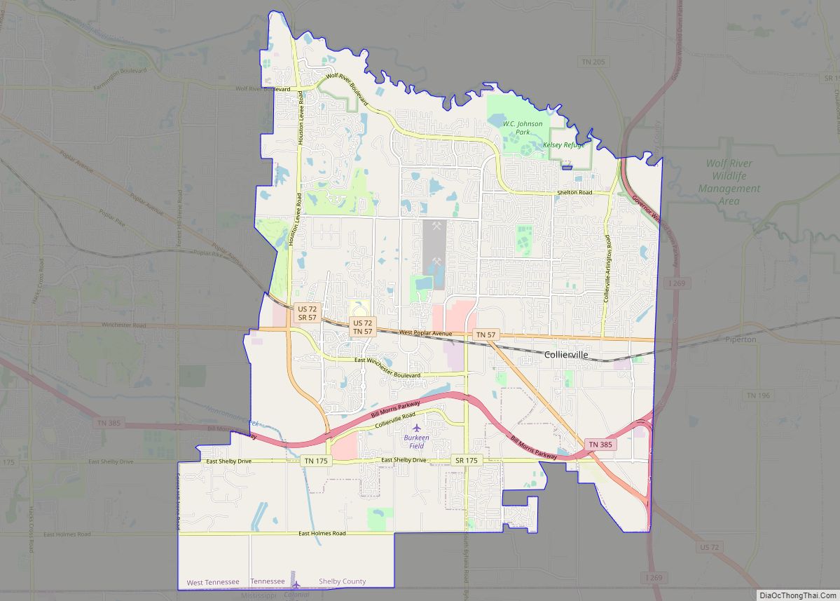
Collierville is a town in Shelby County, Tennessee, United States, and a suburb located in the Memphis metropolitan area. With a population of 51,324 in the 2020 census, Collierville is the third largest municipality in the county after Memphis and Bartlett. It is home to the Carriage Crossing shopping mall and is served by Collierville Schools.
Founded by entrepreneur Jesse R. Collier in 1836, Collierville was the site of the First and Second Battles of Collierville during the American Civil War, during which the town suffered severe damage. After a period of regrowth, Collierville saw substantial economic expansion in the twentieth and twenty-first centuries and now boasts a high quality of life. Collierville’s downtown area is listed on the National Register of Historic Places, and in 2014 Collierville’s historic town square was ranked by Parade as the “Best Main Street” in America.
| Name: | Collierville town |
|---|---|
| LSAD Code: | 43 |
| LSAD Description: | town (suffix) |
| State: | Tennessee |
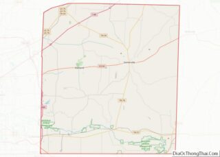
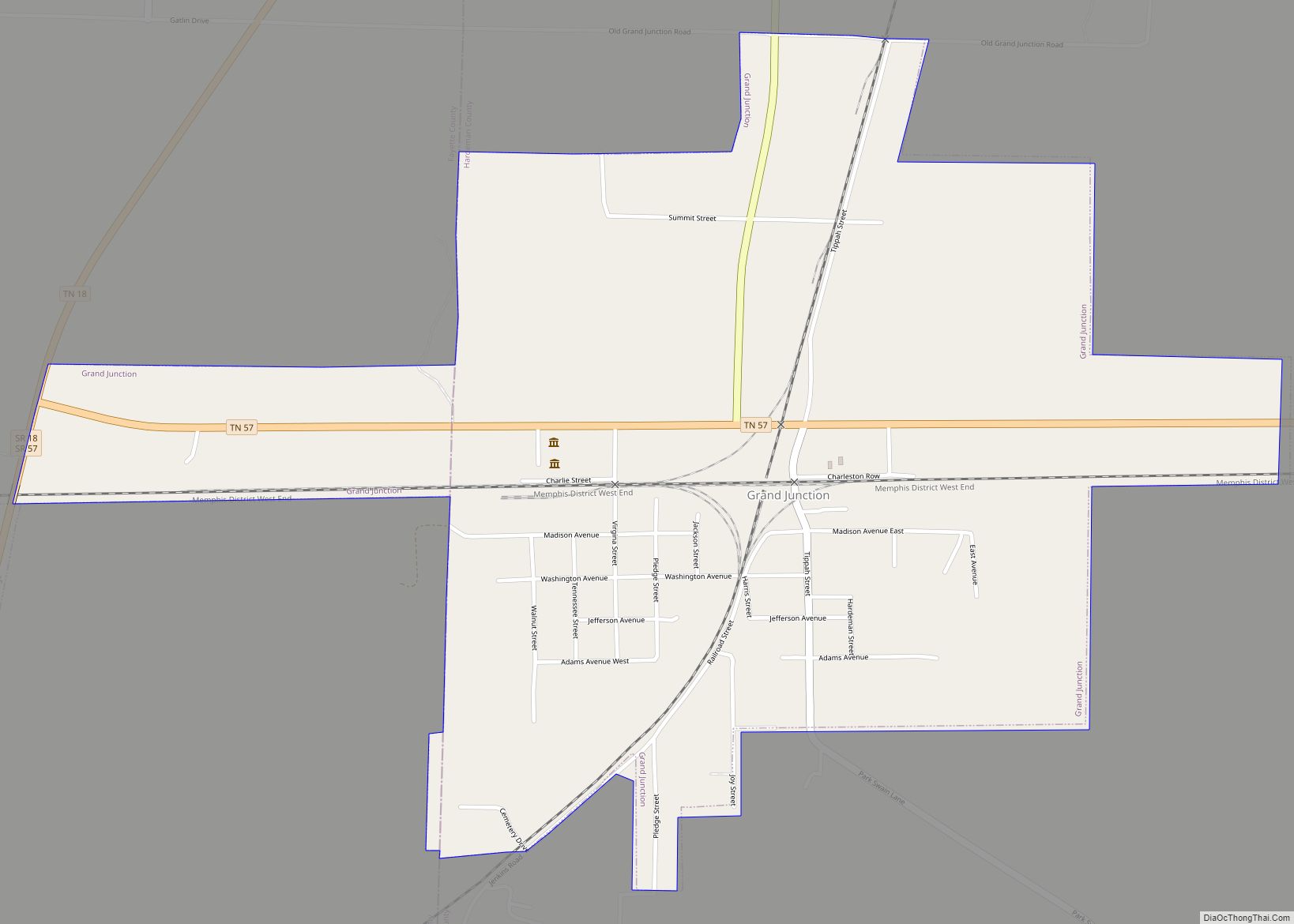
| County: | Fayette County, Shelby County |
| Elevation: | 381 ft (116 m) |
| Total Area: | 36.45 sq mi (94.41 km²) |
| Land Area: | 36.38 sq mi (94.21 km²) |
| Water Area: | 0.08 sq mi (0.20 km²) |
| Total Population: | 51,324 |
| Population Density: | 1,410.97/sq mi (544.78/km²) |
| ZIP code: | 38017, 38027 |
| Area code: | 901 |
| FIPS code: | 4716420 |
| GNISfeature ID: | 1280985 |
| Website: | www.collierville.com |
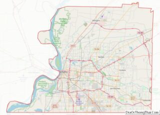
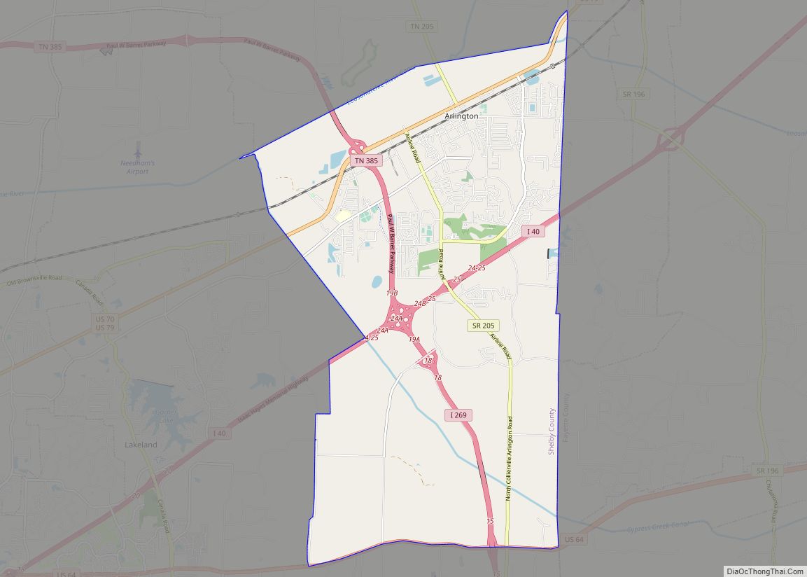
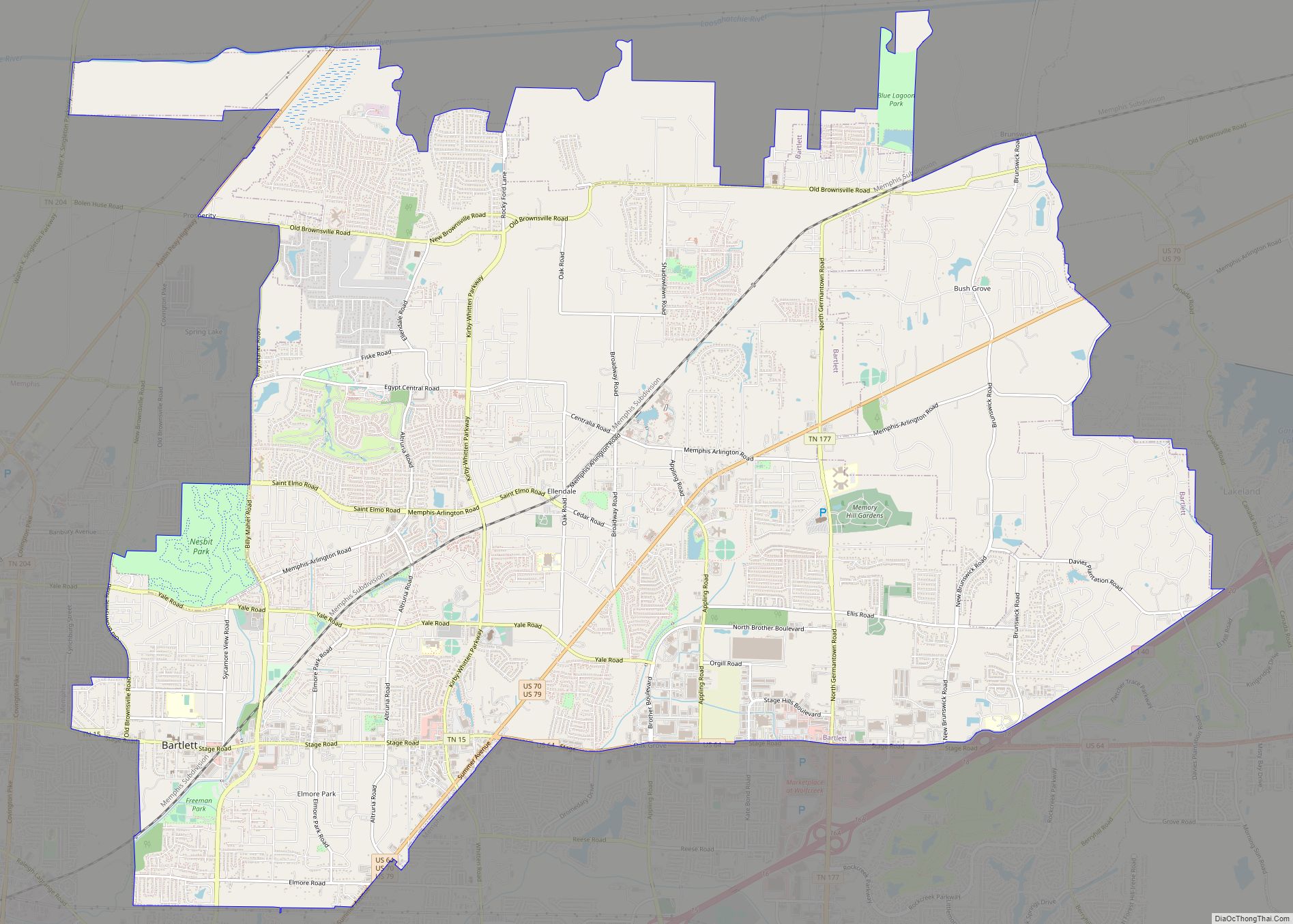
Online Interactive Map
Click on ![]() to view map in "full screen" mode.
to view map in "full screen" mode.
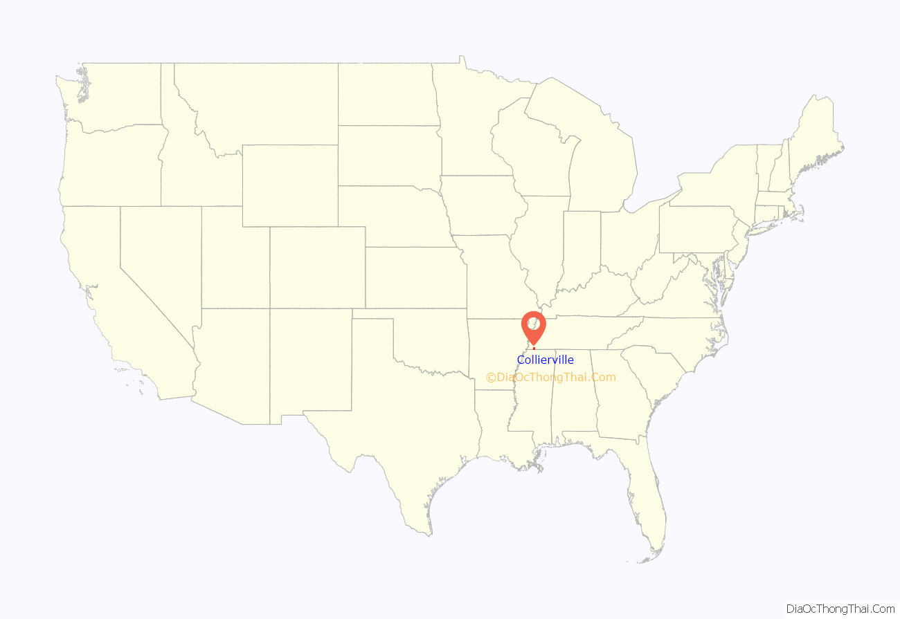
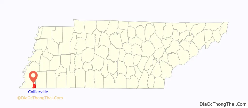
Collierville location map. Where is Collierville town?
History
Collierville is the second oldest town in Shelby County. The original town of Collierville was laid out in 1836 and named after entrepreneur Jesse R. Collier, who bought land and advertised it as “The Town of Collier”; the town was incorporated in 1850 under the mayorship of Richard Ramsey.
During the American Civil War, two battles were fought at Collierville in late 1863. During the First Battle of Collierville on 11 October 1863, Confederate Brigadier General James Chalmers’s division of 3,000 men attacked the garrison established at Collierville to protect the Memphis and Charleston Railroad; the garrison was defended by Maj. Gen. William T. Sherman and the Confederates were repulsed. During the Second Battle of Collierville on 3 November, Chalmers was again repulsed, this time by Colonel Edward Hatch; Chalmers then withdrew to Mississippi. The railroad remained open to Tuscumbia, Alabama for United States troop movements. The estimated casualties were sixty on the side of the Union and ninety-five on the side of the Confederacy. Because of William T. Sherman’s participation in the first engagement, his monument in Washington, D.C. lists “Colliersville” as one of his battles. Union commanders referred to it as “Colliersville” in the official reports.
The town sustained severe damage during the First Battle of Collierville and most of the town was completely burned down. Collierville was re-incorporated in 1870 under the mayorship of James B. Abington and during the twentieth century grew with help from the cotton, dairy, and manufacturing industries.
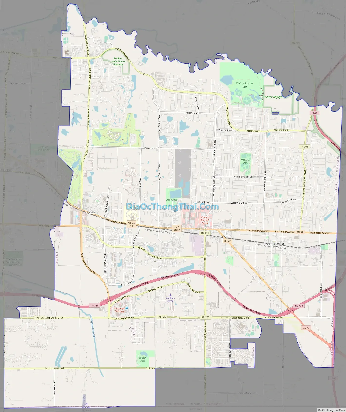
Collierville Road Map
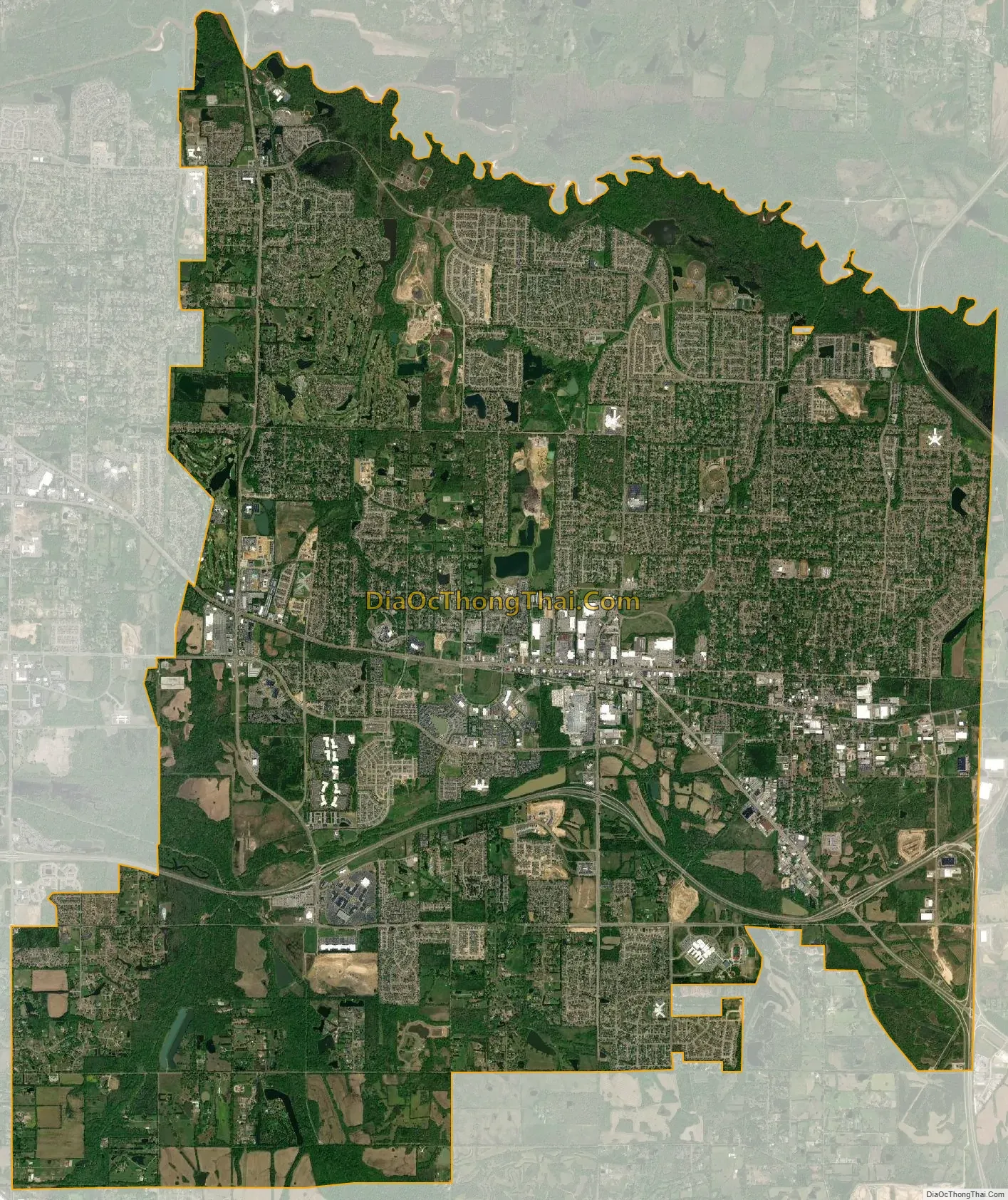
Collierville city Satellite Map
Geography
Collierville is located at 35°3′16″N 89°40′56″W / 35.05444°N 89.68222°W / 35.05444; -89.68222 (35.054366, -89.682306). According to the United States Census Bureau, the town has a total area of 24.6 square miles (64 km), of which 24.5 square miles (63 km) is land and 0.1 square miles (0.26 km), or 0.41%, is water.
Major thoroughfares
- Interstate 269
- Nonconnah/Bill Morris Parkway (State Route 385)
- U. S. Route 72 (Poplar Avenue)/Tennessee State Route 86
- State Route 57 (Poplar Avenue)
- State Route 175 (Byhalia Road, Collierville Road, S Houston Levee Road, and E Shelby Drive)
- State Route 205 (Collierville-Arlington Road)
See also
Map of Tennessee State and its subdivision:- Anderson
- Bedford
- Benton
- Bledsoe
- Blount
- Bradley
- Campbell
- Cannon
- Carroll
- Carter
- Cheatham
- Chester
- Claiborne
- Clay
- Cocke
- Coffee
- Crockett
- Cumberland
- Davidson
- Decatur
- DeKalb
- Dickson
- Dyer
- Fayette
- Fentress
- Franklin
- Gibson
- Giles
- Grainger
- Greene
- Grundy
- Hamblen
- Hamilton
- Hancock
- Hardeman
- Hardin
- Hawkins
- Haywood
- Henderson
- Henry
- Hickman
- Houston
- Humphreys
- Jackson
- Jefferson
- Johnson
- Knox
- Lake
- Lauderdale
- Lawrence
- Lewis
- Lincoln
- Loudon
- Macon
- Madison
- Marion
- Marshall
- Maury
- McMinn
- McNairy
- Meigs
- Monroe
- Montgomery
- Moore
- Morgan
- Obion
- Overton
- Perry
- Pickett
- Polk
- Putnam
- Rhea
- Roane
- Robertson
- Rutherford
- Scott
- Sequatchie
- Sevier
- Shelby
- Smith
- Stewart
- Sullivan
- Sumner
- Tipton
- Trousdale
- Unicoi
- Union
- Van Buren
- Warren
- Washington
- Wayne
- Weakley
- White
- Williamson
- Wilson
- Alabama
- Alaska
- Arizona
- Arkansas
- California
- Colorado
- Connecticut
- Delaware
- District of Columbia
- Florida
- Georgia
- Hawaii
- Idaho
- Illinois
- Indiana
- Iowa
- Kansas
- Kentucky
- Louisiana
- Maine
- Maryland
- Massachusetts
- Michigan
- Minnesota
- Mississippi
- Missouri
- Montana
- Nebraska
- Nevada
- New Hampshire
- New Jersey
- New Mexico
- New York
- North Carolina
- North Dakota
- Ohio
- Oklahoma
- Oregon
- Pennsylvania
- Rhode Island
- South Carolina
- South Dakota
- Tennessee
- Texas
- Utah
- Vermont
- Virginia
- Washington
- West Virginia
- Wisconsin
- Wyoming