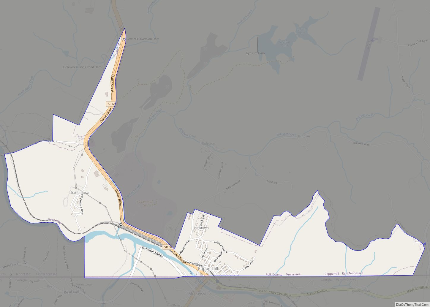
Copperhill is a city in Polk County, Tennessee, United States. The population was 443 at the 2020 census. It is included in the Cleveland Metropolitan Statistical Area.
| Name: | Copperhill city |
|---|---|
| LSAD Code: | 25 |
| LSAD Description: | city (suffix) |
| State: | Tennessee |
| County: | Polk County |
| Founded: | 1890 |
| Incorporated: | 1913 |
| Elevation: | 1,470 ft (448 m) |
| Total Area: | 1.80 sq mi (4.67 km²) |
| Land Area: | 1.77 sq mi (4.58 km²) |
| Water Area: | 0.03 sq mi (0.08 km²) |
| Total Population: | 443 |
| Population Density: | 250.42/sq mi (96.67/km²) |
| ZIP code: | 37317 |
| Area code: | 423 |
| FIPS code: | 4717000 |
| GNISfeature ID: | 1281278 |
Online Interactive Map
Click on ![]() to view map in "full screen" mode.
to view map in "full screen" mode.
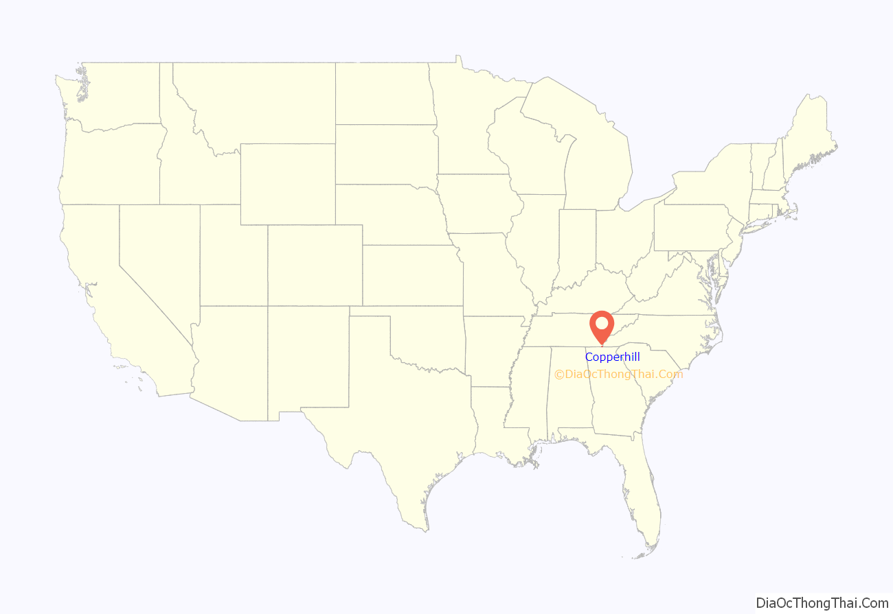
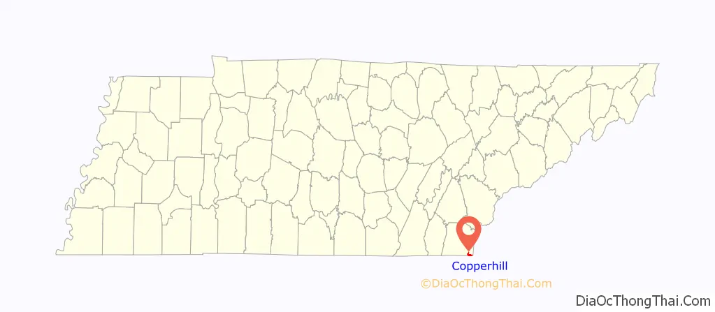
Copperhill location map. Where is Copperhill city?
History
Copperhill is located in a geological region known as the Copper Basin, which was the site of a major copper mining operation between the 1840s and 1987.
Starting around the time of the Civil War, the production method for removing the Sulphur from the copper ore mined in the area required building bonfires, throwing in the ore, and burning off the Sulphur. This necessitated cutting most of the trees in the valley for the bonfires. The acid rain caused by the burning of the Sulphur inhibited additional vegetation from growing, and the topsoil consequently washed off the hilly terrain due to lack of vegetation to hold it. Though acid plants were later built to convert the Sulphur into a useful product, the result of the earlier activities was that for years, up until the 1980s, the area was denuded of any greenery, and the red clay soil remaining gave it a Martian appearance. The area has now been greatly reforested, due to a multimillion-dollar effort by the successor companies to the original copper company. The copper and acid plants have been permanently closed and most of the plant infrastructure already removed and sold overseas. Much of the scrap metals from the site have been removed and sold to China. Glenn Springs Holdings has cleaned and purified all the surrounding creeks and waterways, and water quality is now back to near pristine condition according to published EPA and Tennessee Department of Environmental Conservation studies.
The town these days is a tourist attraction, with near daily rail excursions from Blue Ridge, Georgia, on the Blue Ridge Scenic Railway, and near daily rail excursions from The Gee Creek Wilderness on the Hiwassee River train route. Whitewater rafting on the Ocoee River also attracts many people and other outdoor activities such as Mountain Biking and Hiking are also popular in the area. The area was the host for the whitewater portion of the 1996 Summer Olympics.
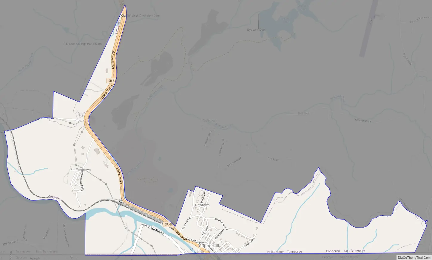
Copperhill Road Map
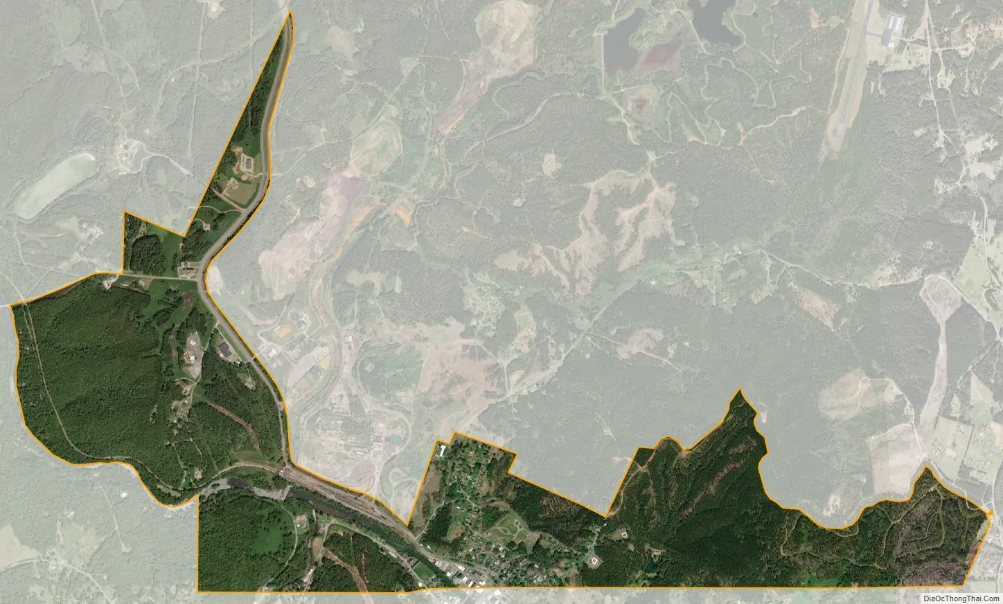
Copperhill city Satellite Map
Geography
Copperhill is located at 34°59′32″N 84°22′27″W / 34.99222°N 84.37417°W / 34.99222; -84.37417 (34.992108, -84.374254), situated in extreme southeast Tennessee, bordering North Georgia.
Its twin city is McCaysville, Georgia, with the two situated as a single town aligned along a northwestward-flowing river, known as the Toccoa River in Georgia, and the Ocoee River in Tennessee, rather than the east/west state line, which cuts diagonally across streets (where it is marked with a blue line) and through buildings. There is a main downtown area, which the town shares with McCaysville, and it retains a historic feel of when it was thriving. The main street through town is Ocoee Street (Tennessee State Route 68) which becomes Toccoa Street (Georgia State Route 60) to the east-southeast in McCaysville. A truss bridge over the river at the state line links them to Blue Ridge Drive (Georgia 5) to the south-southwest.
In the early morning hours of February 16, 1990, a major flood struck the towns, although it is now hard to see any damage from this flooding. The upstream Blue Ridge Dam was raised several feet by the Tennessee Valley Authority, thus greatly minimizing any potential future possible occurrence of flooding. There have been no further incidents with the river flooding.
As a result of the state line, homes and businesses on the Copperhill side of town have area code 423, while those on the McCaysville side have area code 706.
According to the United States Census Bureau, the city has a total area of 1.9 square miles (4.9 km), of which 1.9 square miles (4.9 km) is land and 0.04 square miles (0.10 km) (2.08%) is water.
See also
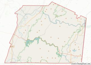
Map of Tennessee State and its subdivision:- Anderson
- Bedford
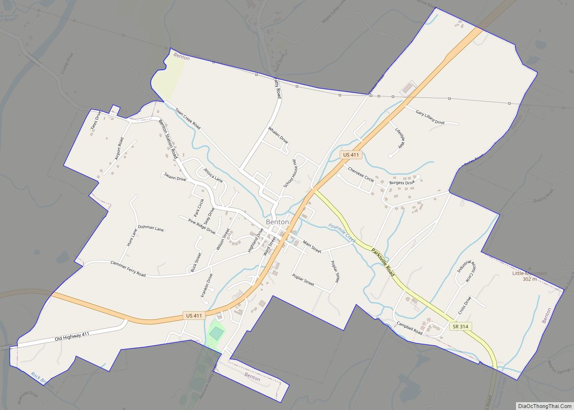
- Benton
- Bledsoe
- Blount
- Bradley
- Campbell
- Cannon
- Carroll
- Carter
- Cheatham
- Chester
- Claiborne
- Clay
- Cocke
- Coffee
- Crockett
- Cumberland
- Davidson
- Decatur
- DeKalb
- Dickson
- Dyer
- Fayette
- Fentress
- Franklin
- Gibson
- Giles
- Grainger
- Greene
- Grundy
- Hamblen
- Hamilton
- Hancock
- Hardeman
- Hardin
- Hawkins
- Haywood
- Henderson
- Henry
- Hickman
- Houston
- Humphreys
- Jackson
- Jefferson
- Johnson
- Knox
- Lake
- Lauderdale
- Lawrence
- Lewis
- Lincoln
- Loudon
- Macon
- Madison
- Marion
- Marshall
- Maury
- McMinn
- McNairy
- Meigs
- Monroe
- Montgomery
- Moore
- Morgan
- Obion
- Overton
- Perry
- Pickett
- Polk
- Putnam
- Rhea
- Roane
- Robertson
- Rutherford
- Scott
- Sequatchie
- Sevier
- Shelby
- Smith
- Stewart
- Sullivan
- Sumner
- Tipton
- Trousdale
- Unicoi
- Union
- Van Buren
- Warren
- Washington
- Wayne
- Weakley
- White
- Williamson
- Wilson
- Alabama
- Alaska
- Arizona
- Arkansas
- California
- Colorado
- Connecticut
- Delaware
- District of Columbia
- Florida
- Georgia
- Hawaii
- Idaho
- Illinois
- Indiana
- Iowa
- Kansas
- Kentucky
- Louisiana
- Maine
- Maryland
- Massachusetts
- Michigan
- Minnesota
- Mississippi
- Missouri
- Montana
- Nebraska
- Nevada
- New Hampshire
- New Jersey
- New Mexico
- New York
- North Carolina
- North Dakota
- Ohio
- Oklahoma
- Oregon
- Pennsylvania
- Rhode Island
- South Carolina
- South Dakota
- Tennessee
- Texas
- Utah
- Vermont
- Virginia
- Washington
- West Virginia
- Wisconsin
- Wyoming