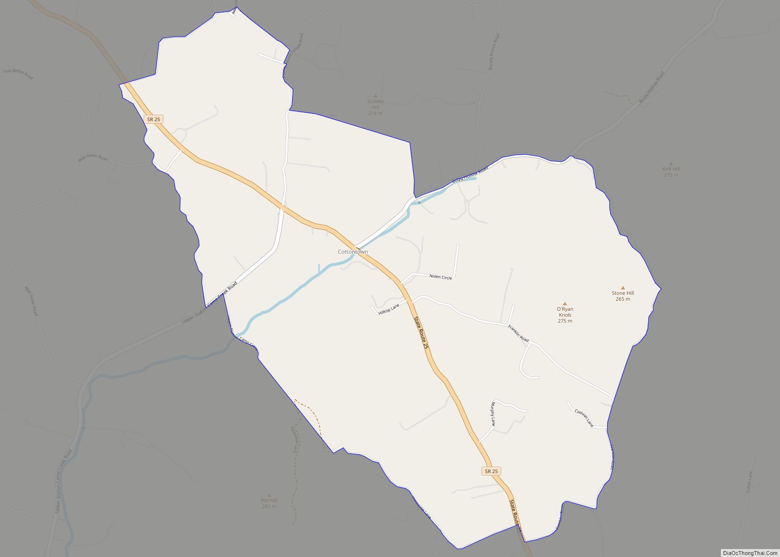
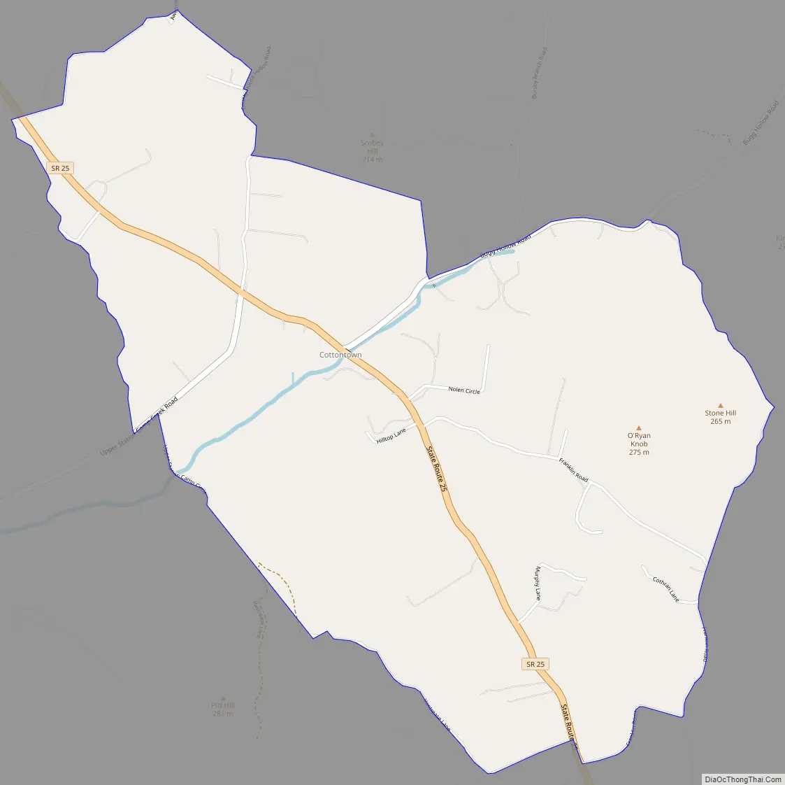
Cottontown is an unincorporated community and census-designated place (CDP) in Sumner and Robertson counties, Tennessee, United States. It was named for Capt. Thomas Cotton, a Revolutionary War veteran from North Carolina. As of the 2010 census, its population was 367. It is located along State Route 25 northwest of neighboring Gallatin. The area has its own Post Office. The United States Postal Service ZIP code for the Cottontown area is 37048.
Cottontown was founded in 1795 by Thomas Cotton.
| Name: | Cottontown CDP |
|---|---|
| LSAD Code: | 57 |
| LSAD Description: | CDP (suffix) |
| State: | Tennessee |
| County: | Sumner County |
| Founded: | 1795 |
| Elevation: | 571 ft (174 m) |
| Total Area: | 3.51 sq mi (9.09 km²) |
| Land Area: | 3.51 sq mi (9.09 km²) |
| Water Area: | 0.00 sq mi (0.00 km²) |
| Total Population: | 397 |
| Population Density: | 113.11/sq mi (43.67/km²) |
| Area code: | 615 |
| FIPS code: | 4717420 |
| GNISfeature ID: | 1281368 |
Online Interactive Map
Click on ![]() to view map in "full screen" mode.
to view map in "full screen" mode.
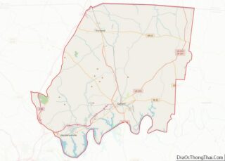
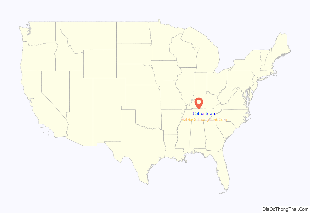
Cottontown location map. Where is Cottontown CDP?

History
Native Americans
The Cottontown Area was originally inhabited by the Mississippian Culture. One Mississippian site near Cottontown is the Castalian Springs Mound. The Shawnee hunted and traded in the Cumberland River area, but were pushed out by the Cherokee in the early 18th century.
Cotton Family
The first European-American to settle Cottonwood was Capt. Thomas Cotton (1748-1795), the town’s namesake. Cotton was captain of a Hertford County militia during the Revolutionary War. For his service, he was granted land to settle in the Southwest Territory, which is now Tennessee. He settled this land in 1795, founding Cottontown. Evident by Cotton’s will, he owned a plantation and a number of slaves in Cottontown. According to 1792 Sumner County tax records, Cotton owned about 1,280 acres (518 ha) of land.
Thomas Cotton’s son, Moore Cotton built a bridal house for his daughter in 1819. This house is now a historic site preserved by the Tennessee Historical Commission.
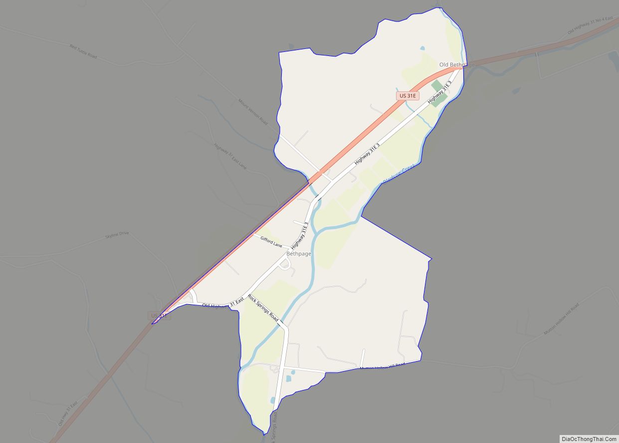
Cottontown Road Map
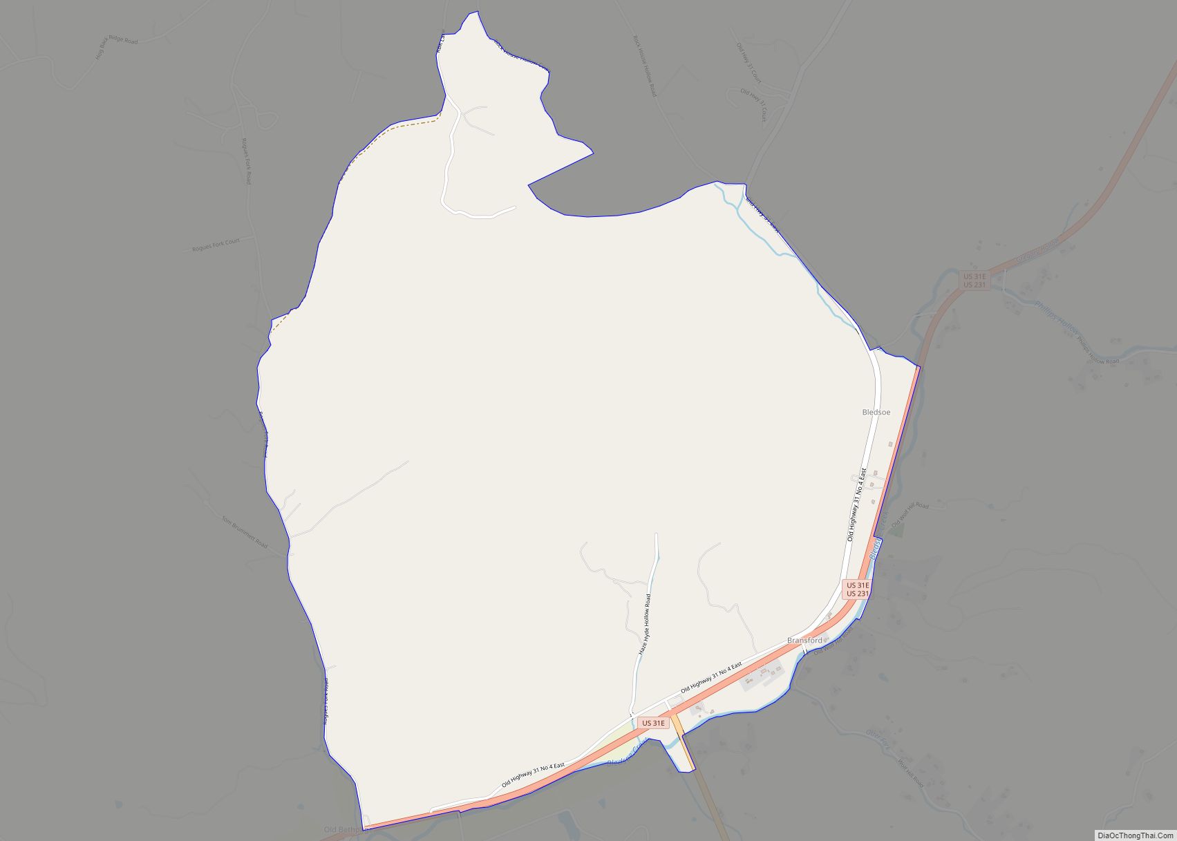
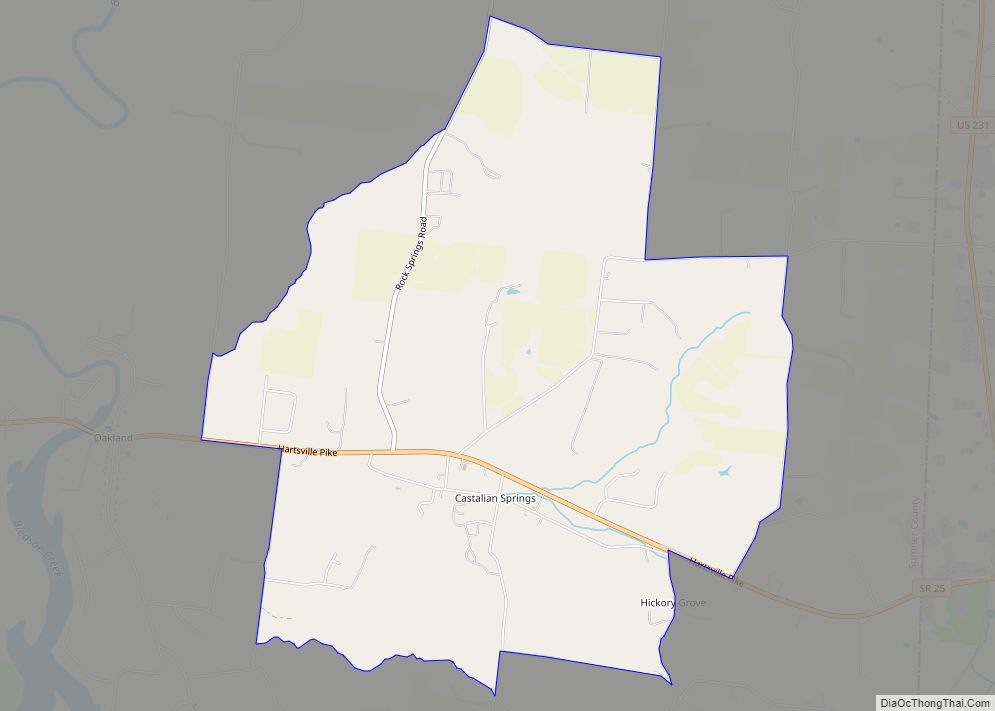
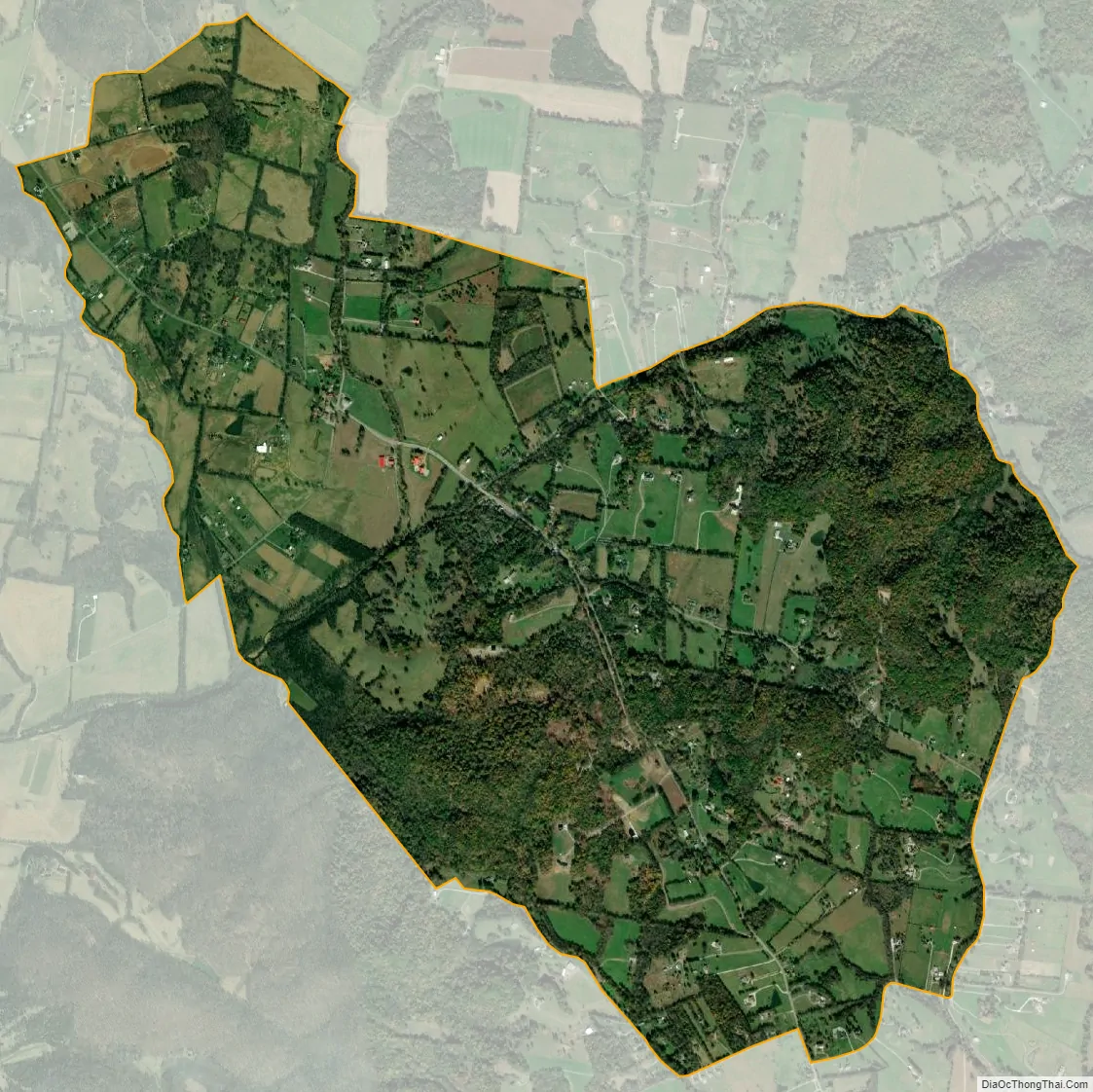
Cottontown city Satellite Map
See also
Map of Tennessee State and its subdivision:- Anderson
- Bedford
- Benton
- Bledsoe
- Blount
- Bradley
- Campbell
- Cannon
- Carroll
- Carter
- Cheatham
- Chester
- Claiborne
- Clay
- Cocke
- Coffee
- Crockett
- Cumberland
- Davidson
- Decatur
- DeKalb
- Dickson
- Dyer
- Fayette
- Fentress
- Franklin
- Gibson
- Giles
- Grainger
- Greene
- Grundy
- Hamblen
- Hamilton
- Hancock
- Hardeman
- Hardin
- Hawkins
- Haywood
- Henderson
- Henry
- Hickman
- Houston
- Humphreys
- Jackson
- Jefferson
- Johnson
- Knox
- Lake
- Lauderdale
- Lawrence
- Lewis
- Lincoln
- Loudon
- Macon
- Madison
- Marion
- Marshall
- Maury
- McMinn
- McNairy
- Meigs
- Monroe
- Montgomery
- Moore
- Morgan
- Obion
- Overton
- Perry
- Pickett
- Polk
- Putnam
- Rhea
- Roane
- Robertson
- Rutherford
- Scott
- Sequatchie
- Sevier
- Shelby
- Smith
- Stewart
- Sullivan
- Sumner
- Tipton
- Trousdale
- Unicoi
- Union
- Van Buren
- Warren
- Washington
- Wayne
- Weakley
- White
- Williamson
- Wilson
- Alabama
- Alaska
- Arizona
- Arkansas
- California
- Colorado
- Connecticut
- Delaware
- District of Columbia
- Florida
- Georgia
- Hawaii
- Idaho
- Illinois
- Indiana
- Iowa
- Kansas
- Kentucky
- Louisiana
- Maine
- Maryland
- Massachusetts
- Michigan
- Minnesota
- Mississippi
- Missouri
- Montana
- Nebraska
- Nevada
- New Hampshire
- New Jersey
- New Mexico
- New York
- North Carolina
- North Dakota
- Ohio
- Oklahoma
- Oregon
- Pennsylvania
- Rhode Island
- South Carolina
- South Dakota
- Tennessee
- Texas
- Utah
- Vermont
- Virginia
- Washington
- West Virginia
- Wisconsin
- Wyoming