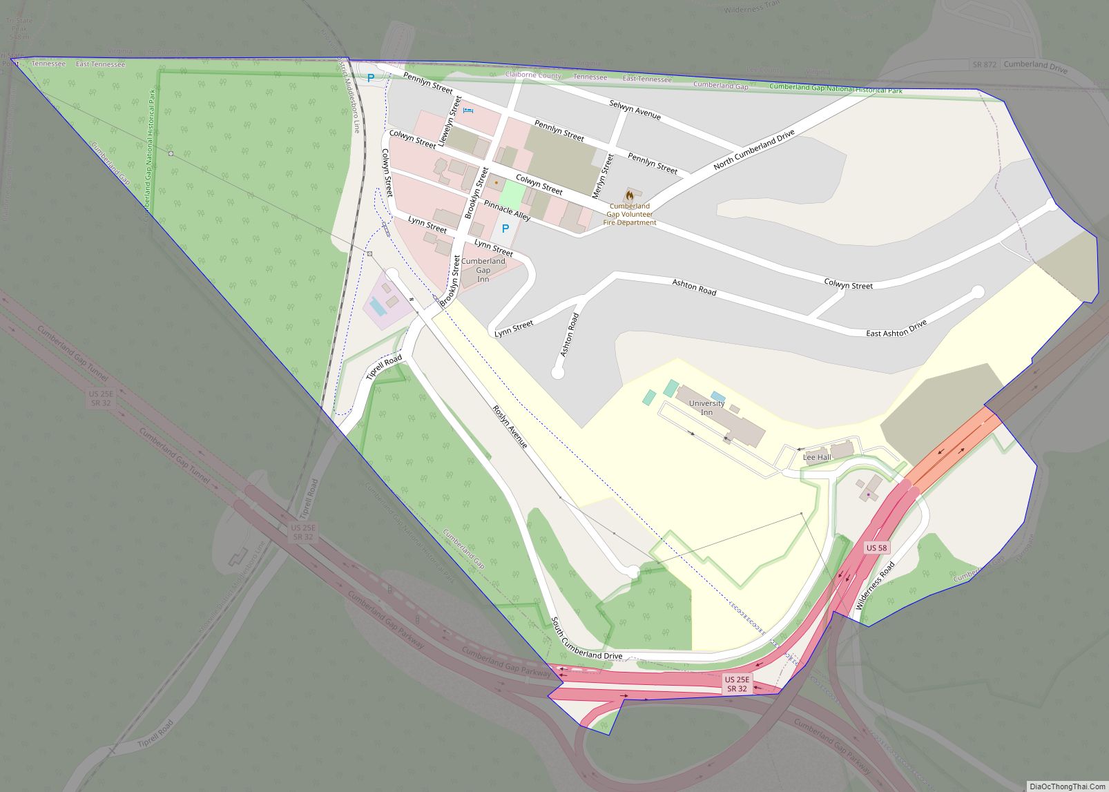
Cumberland Gap is a town in Claiborne County, Tennessee, United States. Its population was 494 at the 2010 census, and estimated to be 490 in 2019. The town is located below the Cumberland Gap, a historic mountain pass for which is the town’s namesake, and inside of the boundaries of Cumberland Gap National Historical Park.
The majority of the town’s downtown area is listed on the National Register of Historic Places as the Cumberland Gap Historic District.
| Name: | Cumberland Gap town |
|---|---|
| LSAD Code: | 43 |
| LSAD Description: | town (suffix) |
| State: | Tennessee |
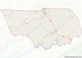
| County: | Claiborne County |
| Incorporated: | 1907 |
| Elevation: | 1,417 ft (432 m) |
| Total Area: | 0.33 sq mi (0.85 km²) |
| Land Area: | 0.33 sq mi (0.85 km²) |
| Water Area: | 0.00 sq mi (0.00 km²) |
| Total Population: | 313 |
| Population Density: | 951.37/sq mi (367.34/km²) |
| ZIP code: | 37724, 37752 |
| Area code: | 423 |
| FIPS code: | 4718880 |
| GNISfeature ID: | 2406347 |
| Website: | townofcumberlandgap.com |
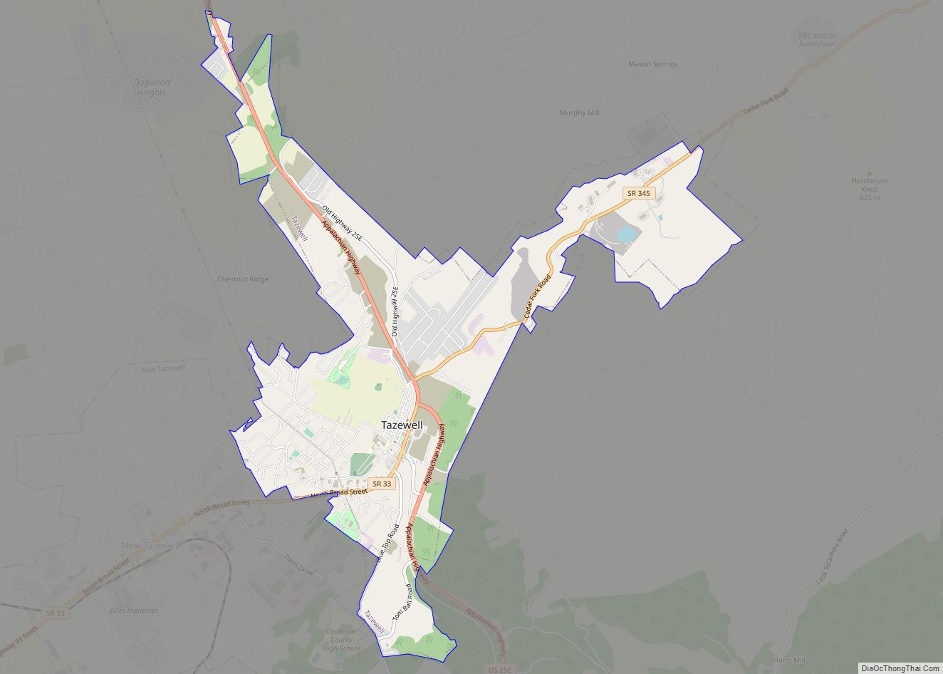
Online Interactive Map
Click on ![]() to view map in "full screen" mode.
to view map in "full screen" mode.
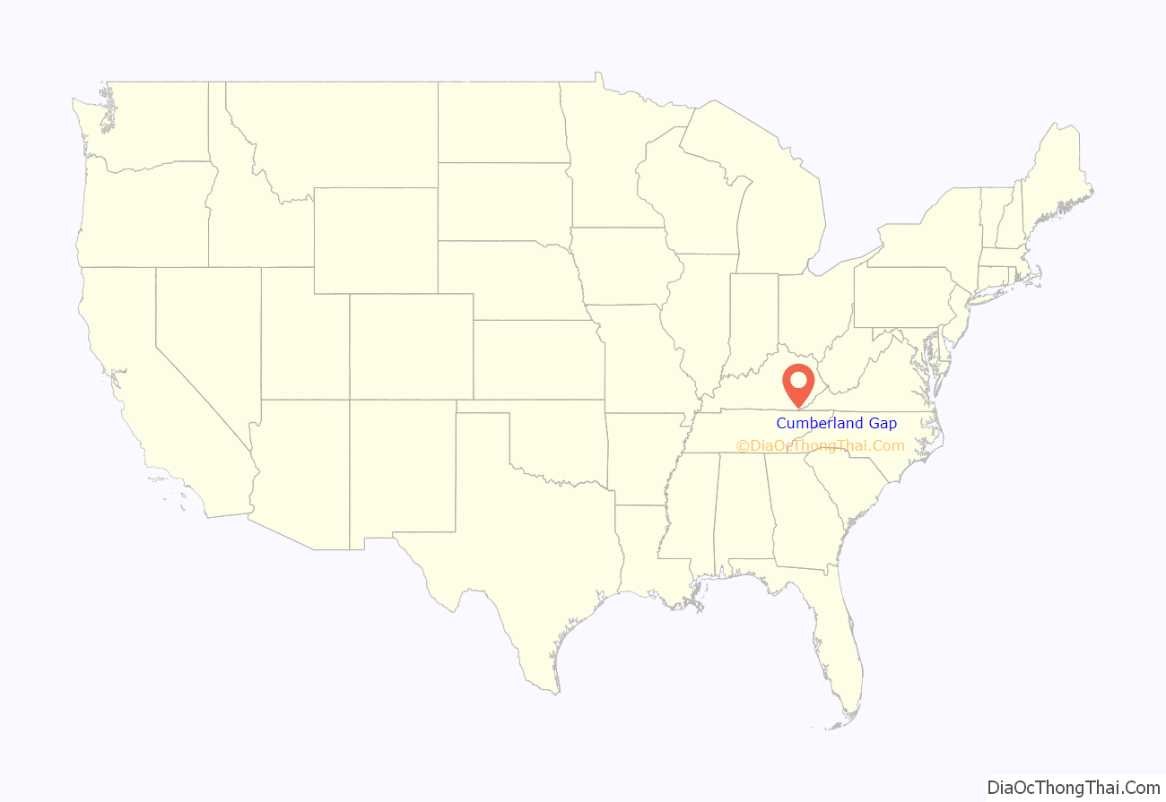
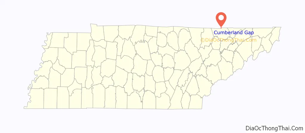
Cumberland Gap location map. Where is Cumberland Gap town?
History
The Cherokee and Shawnee Native American tribes traveled through a game trail known to the Shawnee as Athiamiowee. The tribes often fought each other and white settlers called the trail The Warriors’ Path. The area that came to be known as the Cumberland Gap was a gateway on the trail through the mountains. Although many settlers had traveled through the pass and their reports had traveled back east, Thomas Walker is credited as the settler who discovered the pass. Walker was hired by the Loyal Land Company to search for a suitable site for a settlement on the western side of the mountains. It became a postal town in 1803, and was officially incorporated as a city in 1907.
The town changed hands four times during the Civil War, but no battles actually took place there.
In 1888, a work camp was established at Cumberland Gap by Scottish-born entrepreneur Alexander Arthur (1846–1912) to house workers needed to build a tunnel for the Knoxville, Cumberland Gap & Louisville Railroad. Arthur, who was attempting to establish a large-scale iron production operation in the Cumberland Gap region, founded the nearby cities of Middlesboro, Kentucky, and Harrogate, Tennessee, and the nearby community of Arthur.
In 1996, the completion of the Cumberland Gap Tunnel re-routed US 25E, bypassing the town’s central business district. This bypassing of the town caused the local economy to decline as annual payrolls for Cumberland Gap dropped 40% in a ten-year span from 1994 (two years before the tunnel’s completion) to 2004.
Cumberland Gap Road Map

Cumberland Gap city Satellite Map

Geography
Cumberland Gap is located at 36°35′56″N 83°40′2″W / 36.59889°N 83.66722°W / 36.59889; -83.66722 (36.598976, -83.667318).
According to the United States Census Bureau, the town has a total area of 0.3 square miles (0.78 km), all land.
See also
Map of Tennessee State and its subdivision:- Anderson
- Bedford
- Benton
- Bledsoe
- Blount
- Bradley
- Campbell
- Cannon
- Carroll
- Carter
- Cheatham
- Chester
- Claiborne
- Clay
- Cocke
- Coffee
- Crockett
- Cumberland
- Davidson
- Decatur
- DeKalb
- Dickson
- Dyer
- Fayette
- Fentress
- Franklin
- Gibson
- Giles
- Grainger
- Greene
- Grundy
- Hamblen
- Hamilton
- Hancock
- Hardeman
- Hardin
- Hawkins
- Haywood
- Henderson
- Henry
- Hickman
- Houston
- Humphreys
- Jackson
- Jefferson
- Johnson
- Knox
- Lake
- Lauderdale
- Lawrence
- Lewis
- Lincoln
- Loudon
- Macon
- Madison
- Marion
- Marshall
- Maury
- McMinn
- McNairy
- Meigs
- Monroe
- Montgomery
- Moore
- Morgan
- Obion
- Overton
- Perry
- Pickett
- Polk
- Putnam
- Rhea
- Roane
- Robertson
- Rutherford
- Scott
- Sequatchie
- Sevier
- Shelby
- Smith
- Stewart
- Sullivan
- Sumner
- Tipton
- Trousdale
- Unicoi
- Union
- Van Buren
- Warren
- Washington
- Wayne
- Weakley
- White
- Williamson
- Wilson
- Alabama
- Alaska
- Arizona
- Arkansas
- California
- Colorado
- Connecticut
- Delaware
- District of Columbia
- Florida
- Georgia
- Hawaii
- Idaho
- Illinois
- Indiana
- Iowa
- Kansas
- Kentucky
- Louisiana
- Maine
- Maryland
- Massachusetts
- Michigan
- Minnesota
- Mississippi
- Missouri
- Montana
- Nebraska
- Nevada
- New Hampshire
- New Jersey
- New Mexico
- New York
- North Carolina
- North Dakota
- Ohio
- Oklahoma
- Oregon
- Pennsylvania
- Rhode Island
- South Carolina
- South Dakota
- Tennessee
- Texas
- Utah
- Vermont
- Virginia
- Washington
- West Virginia
- Wisconsin
- Wyoming