New Tazewell is a city in Claiborne County, Tennessee, United States. The population was 3,037 at the 2010 census.The population was 2,769 at the 2020 census.
| Name: | New Tazewell town |
|---|---|
| LSAD Code: | 43 |
| LSAD Description: | town (suffix) |
| State: | Tennessee |
| County: | Claiborne County |
| Incorporated: | 1954 |
| Elevation: | 1,467 ft (447 m) |
| Total Area: | 5.07 sq mi (13.12 km²) |
| Land Area: | 5.07 sq mi (13.12 km²) |
| Water Area: | 0.00 sq mi (0.00 km²) |
| Total Population: | 2,769 |
| Population Density: | 546.48/sq mi (211.01/km²) |
| ZIP code: | 37824-37825 |
| Area code: | 423 |
| FIPS code: | 4753140 |
| GNISfeature ID: | 1295652 |
| Website: | http://newtazewelltn.org/ |
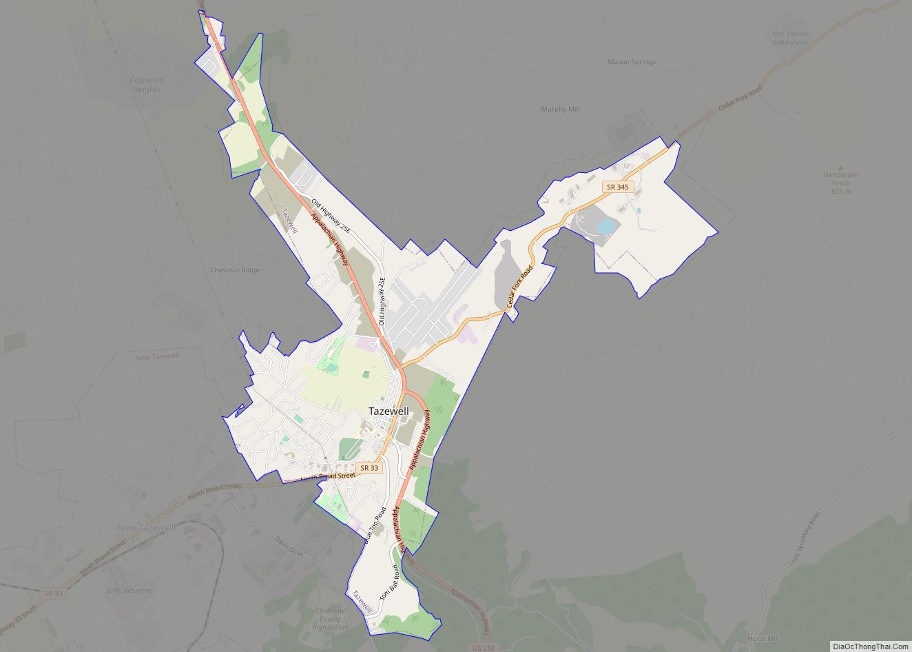
Online Interactive Map
Click on ![]() to view map in "full screen" mode.
to view map in "full screen" mode.
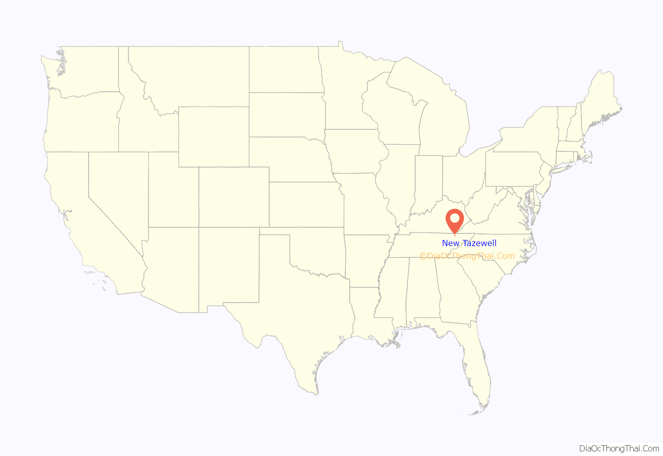
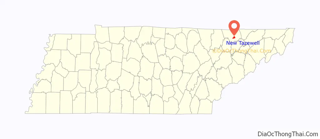
New Tazewell location map. Where is New Tazewell town?
History
When the railroad line was built from Knoxville through Cumberland Gap in the late 1880s, it bypassed the city of Tazewell. It is uncertain whether the railroad was unable to obtain right of way, or whether the decision was made because of topography, but the railroad depot was built about two miles to the west of Tazewell. A new community sprang up around the depot, called Cowan City on old survey maps. The city was incorporated as New Tazewell in the 1920s, but the charter was voted down about fifteen years later. It was reincorporated in 1954.
The city of New Tazewell was soon a thriving commercial location. Entrepreneur John L. Buis built a two-story brick building across from the train depot where he opened the Cherokee Hotel. The building also housed the first post office and a general store, and was served by a livery stable just down the street. Buis also bought farms in the area and opened a cannery in Tazewell where he produced canned goods to ship north by railroad.
Burley tobacco production in the area provided a cash crop, and warehouses were built in the town for tobacco auctions in the late fall and early winter. Tobacco buyers came in by train and stayed at the hotel, with easy access to the warehouses by walking or by horse and buggy from the livery stable.
As burley tobacco production declined in the United States, the warehouses were abandoned, and the city’s economy shifted from farming to manufacturing. Today, the rail-line carries freight from New Tazewell, consisting mostly of timber.
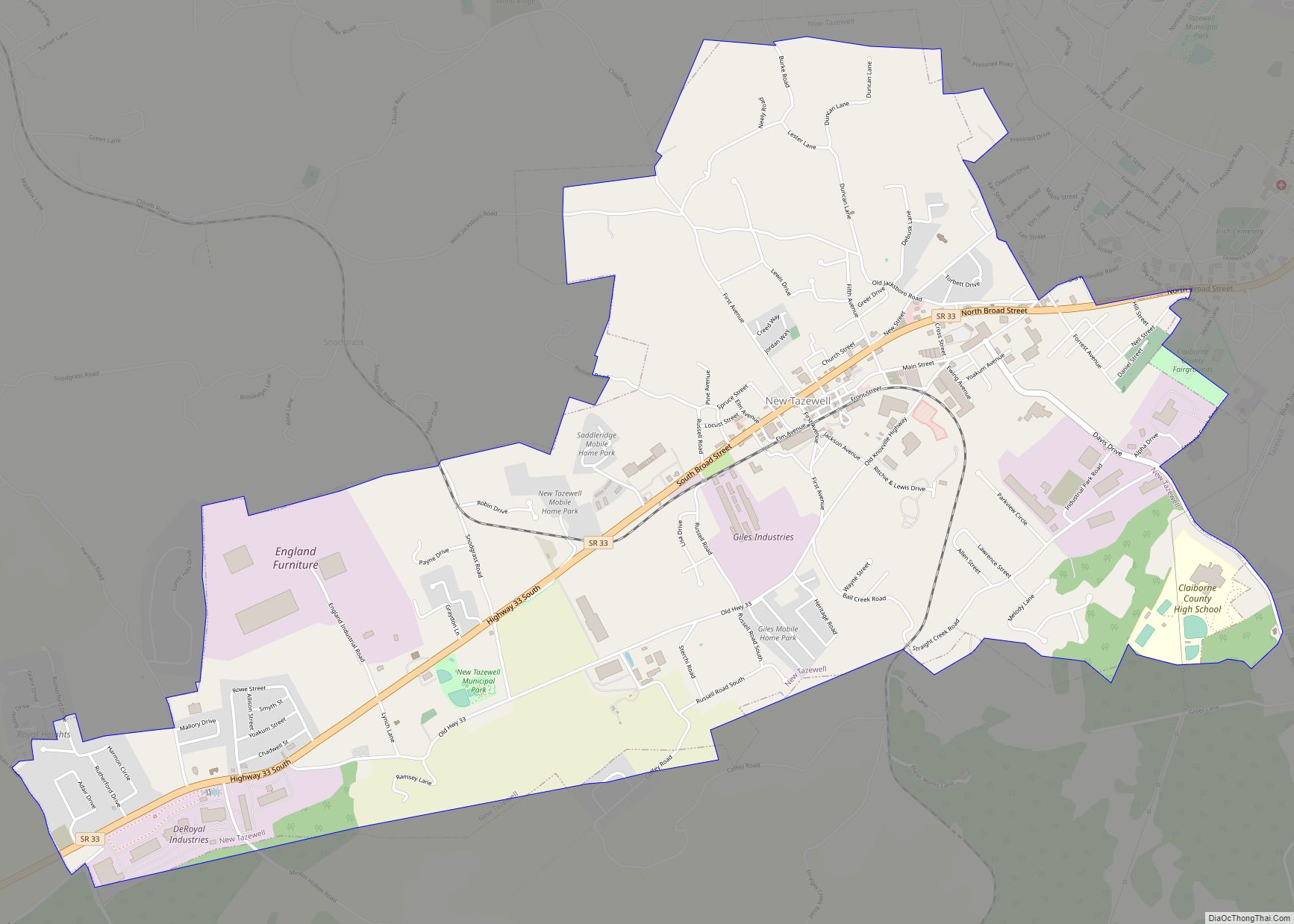
New Tazewell Road Map

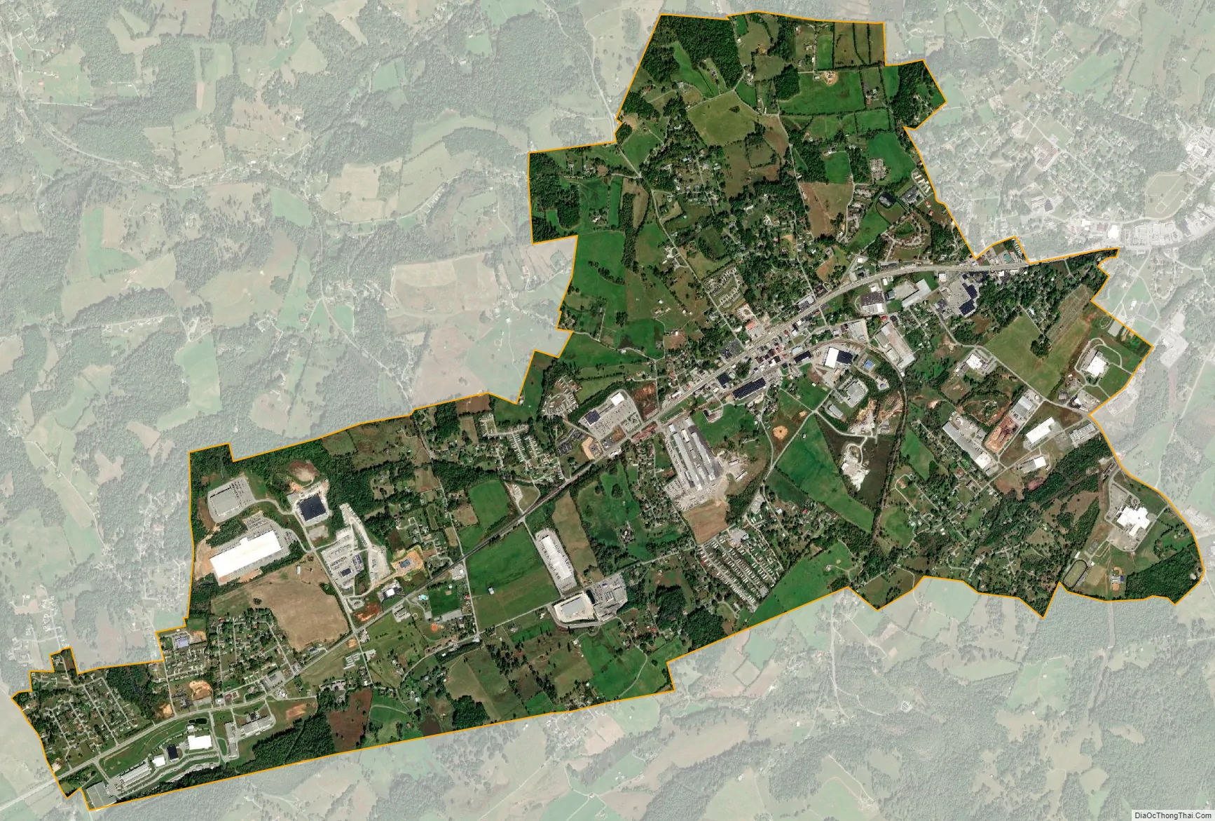
New Tazewell city Satellite Map
Geography
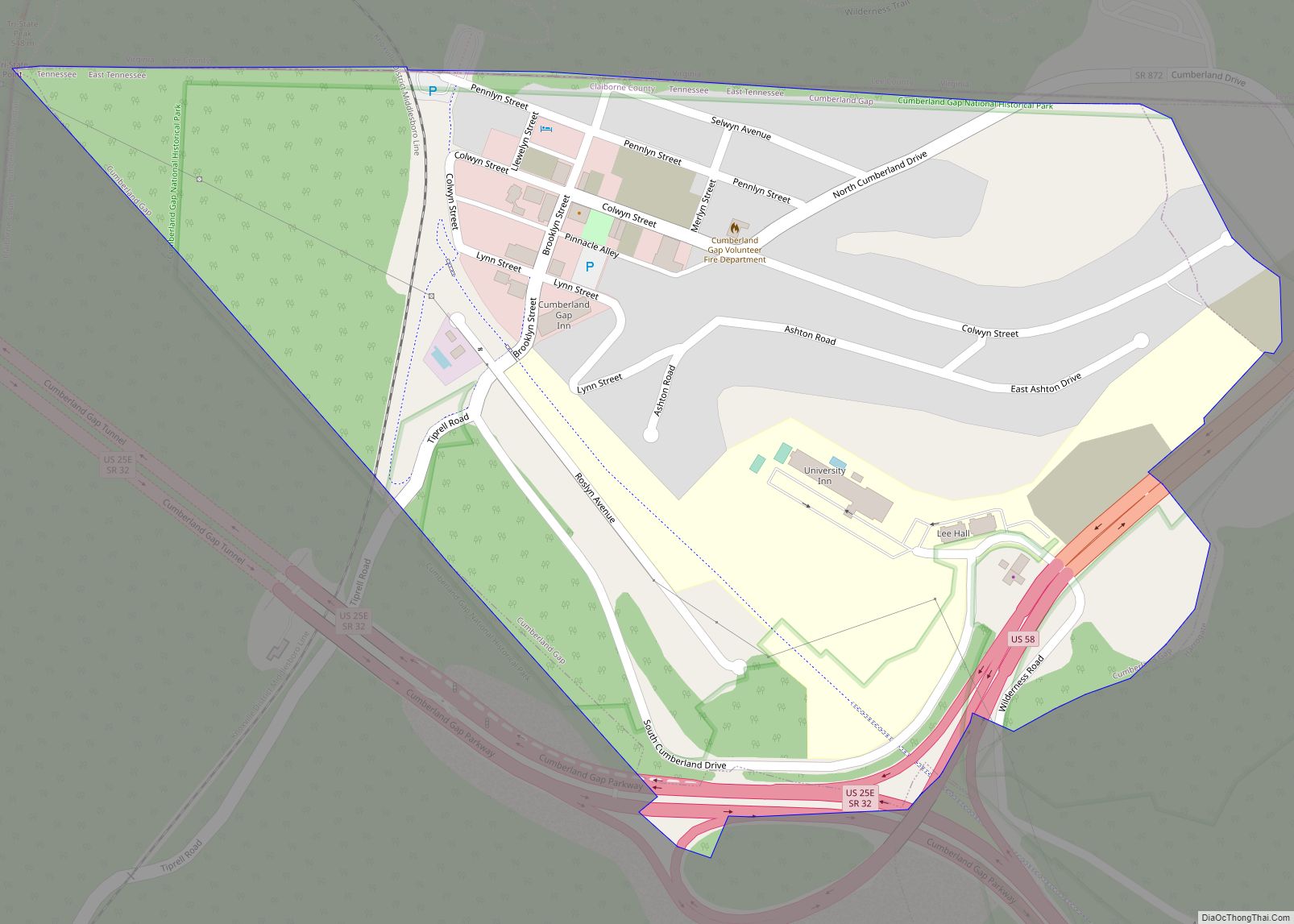
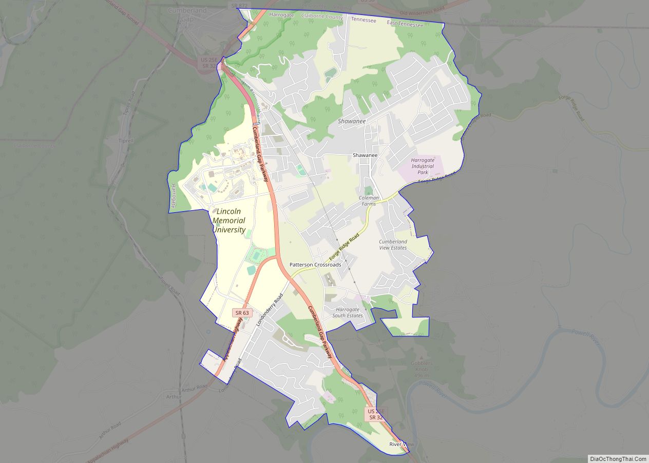
New Tazewell is located in central Claiborne County, adjacent to the twin city of Tazewell, at a coordinate of 36°26′16″N 83°36′27″W / 36.43778°N 83.60750°W / 36.43778; -83.60750 (36.437838, -83.607613). According to the United States Census Bureau, the city has a total area of 5.3 square miles (14 km), all land.
See also
Map of Tennessee State and its subdivision:- Anderson
- Bedford
- Benton
- Bledsoe
- Blount
- Bradley
- Campbell
- Cannon
- Carroll
- Carter
- Cheatham
- Chester
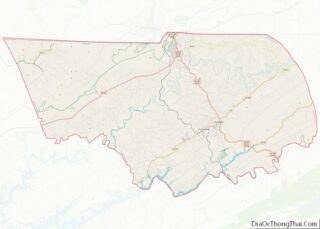
- Claiborne
- Clay
- Cocke
- Coffee
- Crockett
- Cumberland
- Davidson
- Decatur
- DeKalb
- Dickson
- Dyer
- Fayette
- Fentress
- Franklin
- Gibson
- Giles
- Grainger
- Greene
- Grundy
- Hamblen
- Hamilton
- Hancock
- Hardeman
- Hardin
- Hawkins
- Haywood
- Henderson
- Henry
- Hickman
- Houston
- Humphreys
- Jackson
- Jefferson
- Johnson
- Knox
- Lake
- Lauderdale
- Lawrence
- Lewis
- Lincoln
- Loudon
- Macon
- Madison
- Marion
- Marshall
- Maury
- McMinn
- McNairy
- Meigs
- Monroe
- Montgomery
- Moore
- Morgan
- Obion
- Overton
- Perry
- Pickett
- Polk
- Putnam
- Rhea
- Roane
- Robertson
- Rutherford
- Scott
- Sequatchie
- Sevier
- Shelby
- Smith
- Stewart
- Sullivan
- Sumner
- Tipton
- Trousdale
- Unicoi
- Union
- Van Buren
- Warren
- Washington
- Wayne
- Weakley
- White
- Williamson
- Wilson
- Alabama
- Alaska
- Arizona
- Arkansas
- California
- Colorado
- Connecticut
- Delaware
- District of Columbia
- Florida
- Georgia
- Hawaii
- Idaho
- Illinois
- Indiana
- Iowa
- Kansas
- Kentucky
- Louisiana
- Maine
- Maryland
- Massachusetts
- Michigan
- Minnesota
- Mississippi
- Missouri
- Montana
- Nebraska
- Nevada
- New Hampshire
- New Jersey
- New Mexico
- New York
- North Carolina
- North Dakota
- Ohio
- Oklahoma
- Oregon
- Pennsylvania
- Rhode Island
- South Carolina
- South Dakota
- Tennessee
- Texas
- Utah
- Vermont
- Virginia
- Washington
- West Virginia
- Wisconsin
- Wyoming