Franklin is a city in and county seat of Williamson County, Tennessee, United States. About 21 miles (34 km) south of Nashville, it is one of the principal cities of the Nashville metropolitan area and Middle Tennessee. As of 2020, its population was 83,454. It is the seventh-largest city in Tennessee. Franklin is known to be the home of many celebrities, mostly country music stars.
The city developed on both sides of the Harpeth River, a tributary of the Cumberland River. In the 19th century, Franklin (as the county seat) was the trading and judicial center for primarily rural Williamson County and remained so well into the 20th century as the county remained rural and agricultural in nature.
Since 1980, areas of northern Franklin have been developed for residential and related businesses, in addition to modern service industries. The population has increased rapidly as growth moved in all directions from the core. Despite recent growth and development, Franklin is noted for its many older buildings and neighborhoods, which are protected by city ordinances.
| Name: | Franklin city |
|---|---|
| LSAD Code: | 25 |
| LSAD Description: | city (suffix) |
| State: | Tennessee |
| County: | Williamson County |
| Elevation: | 643 ft (196 m) |
| Total Area: | 44.73 sq mi (115.86 km²) |
| Land Area: | 44.52 sq mi (115.31 km²) |
| Water Area: | 0.21 sq mi (0.55 km²) |
| Total Population: | 83,454 |
| Population Density: | 1,874.49/sq mi (723.74/km²) |
| Area code: | 615 |
| FIPS code: | 4727740 |
| Website: | franklintn.gov |
Online Interactive Map
Click on ![]() to view map in "full screen" mode.
to view map in "full screen" mode.
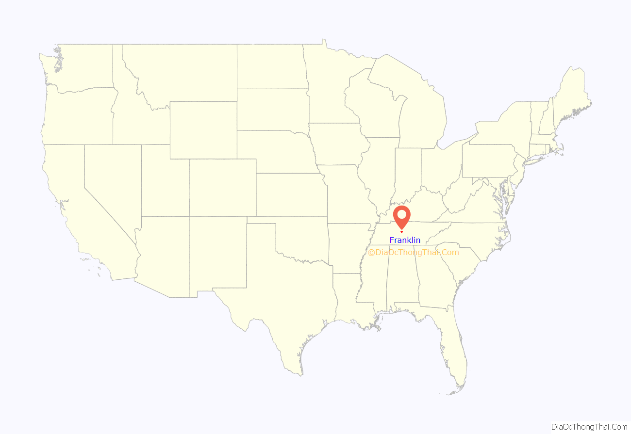
Franklin location map. Where is Franklin city?
History
18th century
The City of Franklin was founded October 26, 1799, by Abram Maury Jr. (1766–1825). Later a state senator, he is buried with his family in the current Founders Pointe neighborhood. Maury named the town after national founding father Benjamin Franklin.
Ewen Cameron built a log house in 1798, the first in the new settlement. Cameron was born February 23, 1768, in Bogallan, Ferintosh, Scotland. He emigrated to Virginia in 1785 and came to Tennessee shortly after it was admitted to the Union. Cameron died on February 28, 1846, after living 48 years in the same house. He and his second wife, Mary, were buried in the old City Cemetery. Some of his descendants continue to live in Franklin.
19th century
This area is part of Middle Tennessee, and farmers prospered in the pre-Civil War years, with the cultivation of tobacco and hemp as commodity crops, and raising of livestock.
During the Civil War, Tennessee was occupied by Union troops from 1862. Franklin was the site of a major battle in the Franklin–Nashville Campaign. The Second Battle of Franklin was fought on November 30, 1864, resulting in almost 10,000 casualties (killed, wounded, captured, and missing). Forty-four buildings were temporarily converted to use as field hospitals. The Carter, Carnton, and the Lotz houses from this era are still standing and are among the city’s numerous examples of period architecture.
On July 6, 1867, a political rally of Union League Black Republicans in Franklin was disrupted by Conservatives, who were mostly White but included some Blacks. Later that evening, what became known as the “Franklin Riot” broke out. Black Union League men were ambushed by Whites at the town square and returned fire. An estimated 25 to 39 men were wounded, most of them Black. One White man was killed outright, and at least three Black people died of wounds soon after the confrontation.
On August 15, 1868, in Franklin, Samuel Bierfield became the first Jewish man to be lynched in the United States. He was fatally shot by a large group of masked men believed to be KKK members. They attacked him for treating Blacks equally to Whites in his store. Bowman, a Black man who worked for Bierfield and was with him at his store, was wounded in the attack and soon died.
After the Reconstruction era, violence continued against African Americans, rising toward the turn of the century. Five African Americans were lynched in Williamson County from 1877 to 1950, most during the decades around the turn of the century, a time of high social tensions and legal racial oppression in the South. These murders took place in Franklin, when men were taken from the courthouse or county jail before trial. Among them was Amos Miller, a 23-year-old Black man who was forcibly taken from the courtroom by a White mob during his 1888 trial in a sexual assault case, and hanged from the railings of the balcony of the county courthouse. The alleged victim was a 50-year-old woman. On April 30, 1891, Jim Taylor, another African American man, was lynched on Murfreesboro Road in Franklin by another mob, accused of killing a White man.
A memorial to Confederate soldiers was erected in 1899 by fourteen women of the United Daughters of the Confederacy to honor Confederate soldiers, including the 6,125 casualties of the Battle of Franklin. A news report described how as the last piece of the statue was being raised, a buggy ran into a rope, causing the statue to swing into the shaft, breaking out a piece from the hat of the figure. This event has given rise to the monument’s nickname by many of “Chip.”
20th century to present
Population growth slowed noticeably from 1910 to 1940 (see table in Demographics section), as many African Americans left the area in the Great Migration to northern industrial cities for jobs and to escape Jim Crow conditions.
One of the first major manufacturers to establish operations in the county was the Dortch Stove Works, which opened a factory in Franklin in 1928. The factory was later developed as a Magic Chef factory, producing electric and gas ranges. (Magic Chef was prominent in the Midwest from 1929.) When the factory was closed due to extensive restructuring in the industry, the structure fell into disuse. The factory complex was restored in the late 1990s in an adaptation for offices, restaurants, retail and event spaces. It is considered a “model historic preservation adaptive reuse project.”
Since the late 20th century, however, Franklin has rapidly developed as a suburb of Nashville, Tennessee. Franklin’s population has increased more than fivefold since 1980, when its population was 12,407. In 2010, the city had a population of 62,487. As of 2017 Census estimates, it is the state’s seventh-largest city. In 2017, the City of Franklin was ranked the 8th fastest-growing city in the nation by the U.S. Census Bureau, increasing 4.9 percent between July 1, 2016, and July 1, 2017.
Many of its residents commute to businesses in Nashville, which is 20 miles (32 km) to the north. The regional economy has also expanded, with considerable growth in businesses and jobs in Franklin and Williamson County.
After the passage of the National Historic Preservation Act of 1966, some Franklin residents have worked to identify and preserve its most significant historic assets. Five historic districts are listed on the National Register of Historic Places, as are many individual non-historic but older structures.
Franklin is home to an armed forces memorial, on the grounds of the Williamson County Archives, which honors Williamson County servicemen who served in American wars from the Creek War to the Gulf War. Around the seal of Franklin are placed engraved bricks that radiate around it in a circle. The largest brick is in honor of George Jordan, a former slave who fought in the Indian Wars in New Mexico, and the only Williamson Countian to receive the Congressional Medal of Honor.
As part of the “Fuller Story,” a plan developed by historic preservation and church leaders to recognize the lives and contributions of African Americans to Franklin, a statue of a soldier of the United States Colored Troops, to mark the contributions of African Americans in ending the Civil War and reuniting the Union, has been placed in front of the old Williamson County Courthouse on the Franklin Square, the site of a former slave market and the current “Chip” statue. This project was approved by the Franklin Board Of Mayor and Aldermen. In 2018, the first of several planned historic plaques was installed; these mark the history of slavery, the Reconstruction era and Jim Crow, and civil rights.
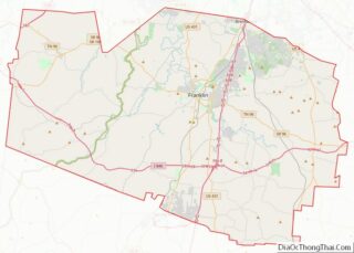
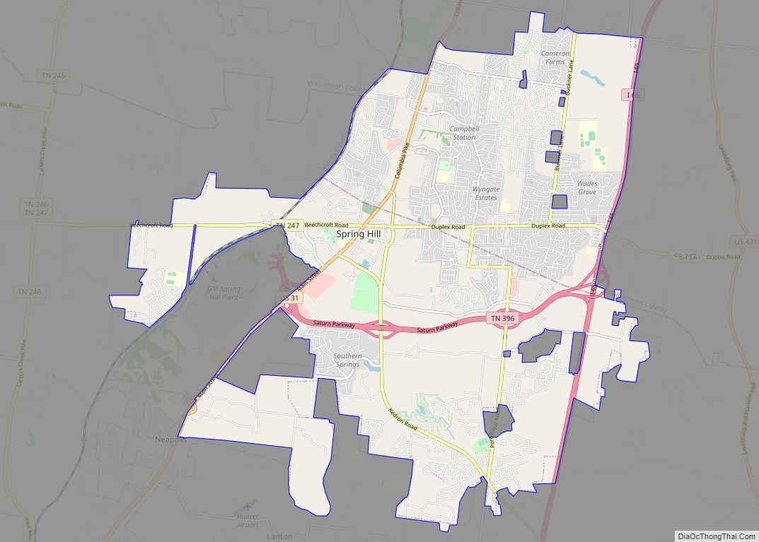
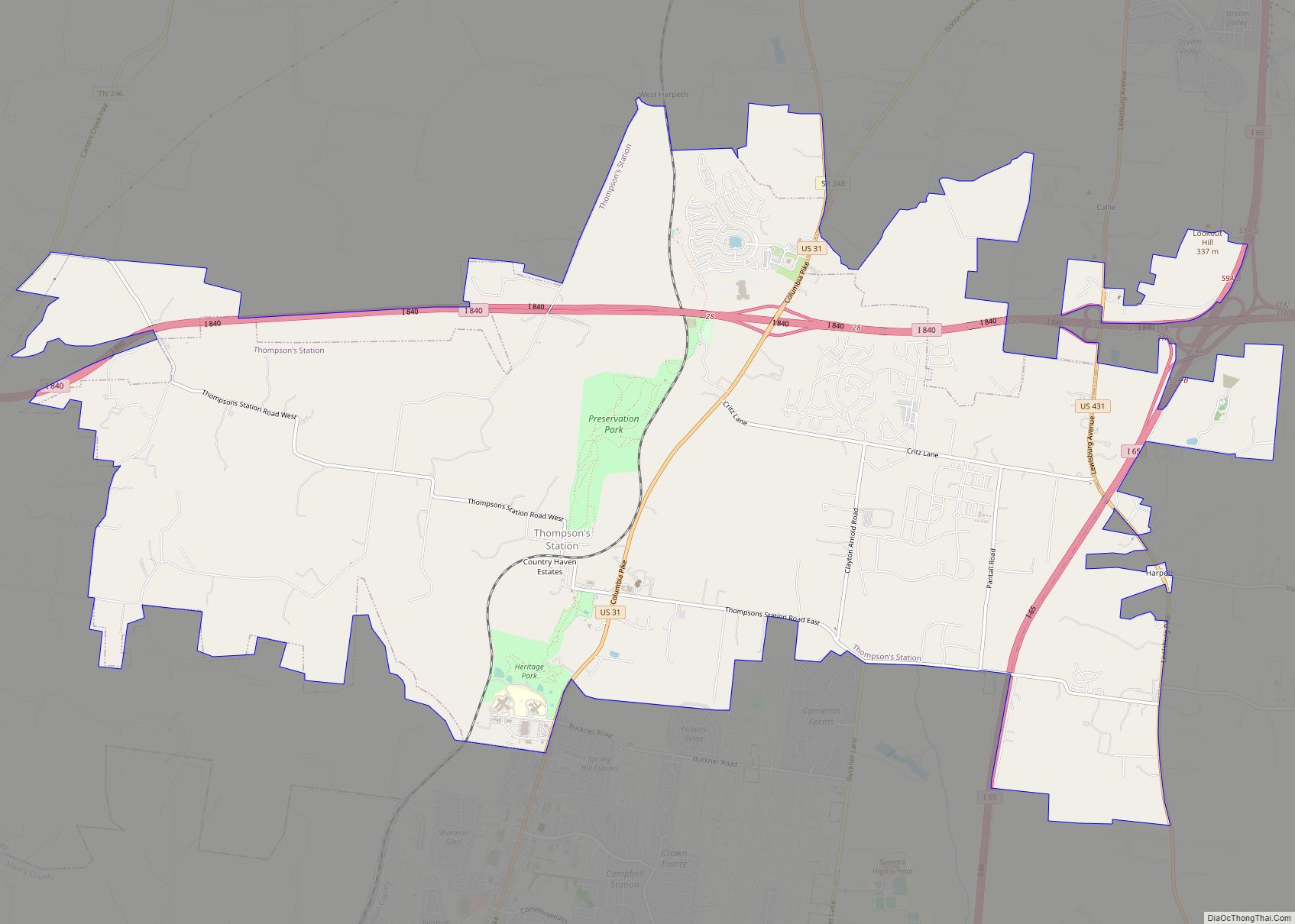
Franklin Road Map
Franklin city Satellite Map
Geography
According to the United States Census Bureau, the city has a total area of 41.4 square miles (107.3 km), of which 41.2 square miles (106.8 km) is land and 0.2 square miles (0.6 km), or 0.52%, is covered by water.
Climate
See also
Map of Tennessee State and its subdivision:- Anderson
- Bedford
- Benton
- Bledsoe
- Blount
- Bradley
- Campbell
- Cannon
- Carroll
- Carter
- Cheatham
- Chester
- Claiborne
- Clay
- Cocke
- Coffee
- Crockett
- Cumberland
- Davidson
- Decatur
- DeKalb
- Dickson
- Dyer
- Fayette
- Fentress
- Franklin
- Gibson
- Giles
- Grainger
- Greene
- Grundy
- Hamblen
- Hamilton
- Hancock
- Hardeman
- Hardin
- Hawkins
- Haywood
- Henderson
- Henry
- Hickman
- Houston
- Humphreys
- Jackson
- Jefferson
- Johnson
- Knox
- Lake
- Lauderdale
- Lawrence
- Lewis
- Lincoln
- Loudon
- Macon
- Madison
- Marion
- Marshall
- Maury
- McMinn
- McNairy
- Meigs
- Monroe
- Montgomery
- Moore
- Morgan
- Obion
- Overton
- Perry
- Pickett
- Polk
- Putnam
- Rhea
- Roane
- Robertson
- Rutherford
- Scott
- Sequatchie
- Sevier
- Shelby
- Smith
- Stewart
- Sullivan
- Sumner
- Tipton
- Trousdale
- Unicoi
- Union
- Van Buren
- Warren
- Washington
- Wayne
- Weakley
- White
- Williamson
- Wilson
- Alabama
- Alaska
- Arizona
- Arkansas
- California
- Colorado
- Connecticut
- Delaware
- District of Columbia
- Florida
- Georgia
- Hawaii
- Idaho
- Illinois
- Indiana
- Iowa
- Kansas
- Kentucky
- Louisiana
- Maine
- Maryland
- Massachusetts
- Michigan
- Minnesota
- Mississippi
- Missouri
- Montana
- Nebraska
- Nevada
- New Hampshire
- New Jersey
- New Mexico
- New York
- North Carolina
- North Dakota
- Ohio
- Oklahoma
- Oregon
- Pennsylvania
- Rhode Island
- South Carolina
- South Dakota
- Tennessee
- Texas
- Utah
- Vermont
- Virginia
- Washington
- West Virginia
- Wisconsin
- Wyoming
