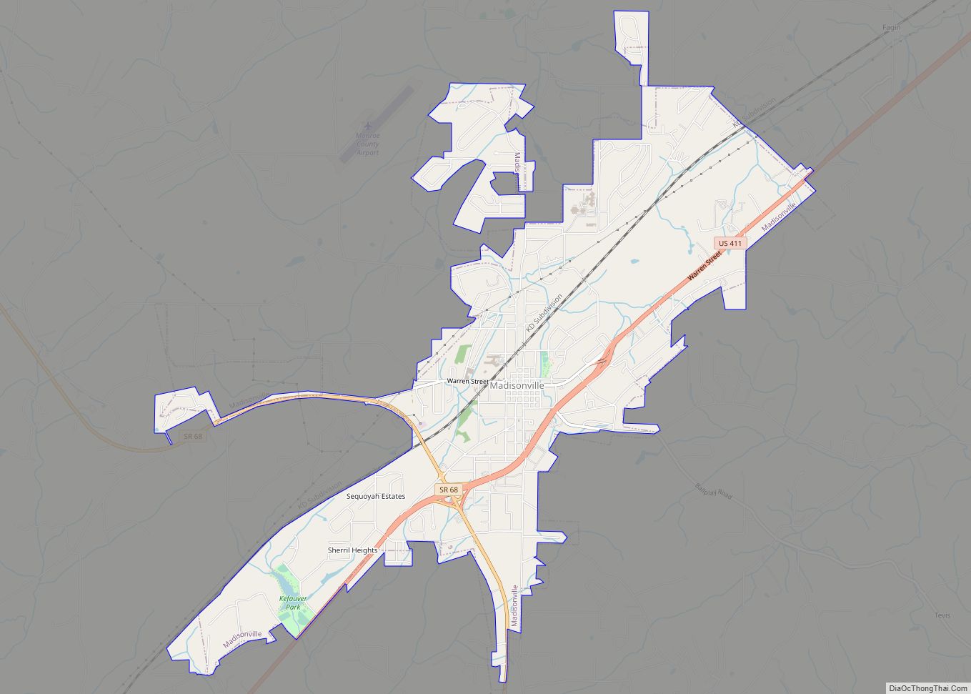
Madisonville is a city in and the county seat of Monroe County, Tennessee, United States. The population was 4,577 at the 2010 census and 5,132 at the 2020 census.
| Name: | Madisonville city |
|---|---|
| LSAD Code: | 25 |
| LSAD Description: | city (suffix) |
| State: | Tennessee |
| County: | Monroe County |
| Founded: | 1822 |
| Incorporated: | 1866 |
| Elevation: | 997 ft (304 m) |
| Total Area: | 6.01 sq mi (15.56 km²) |
| Land Area: | 6.00 sq mi (15.55 km²) |
| Water Area: | 0.01 sq mi (0.01 km²) |
| Total Population: | 5,132 |
| Population Density: | 854.62/sq mi (329.99/km²) |
| ZIP code: | 37354 |
| Area code: | 423 |
| FIPS code: | 4745320 |
| GNISfeature ID: | 1326391 |
| Website: | www.cityofmadisonville.org |
Online Interactive Map
Click on ![]() to view map in "full screen" mode.
to view map in "full screen" mode.
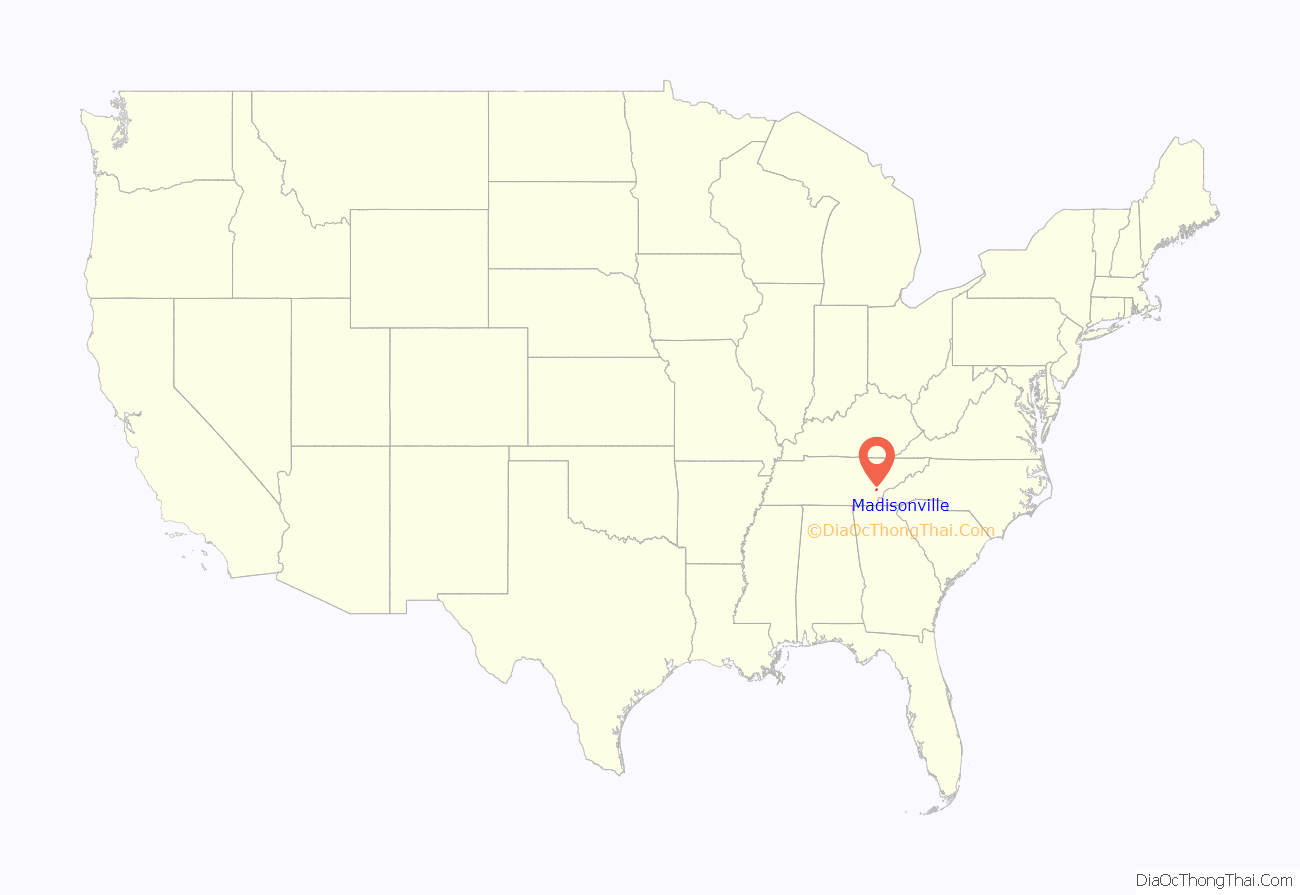
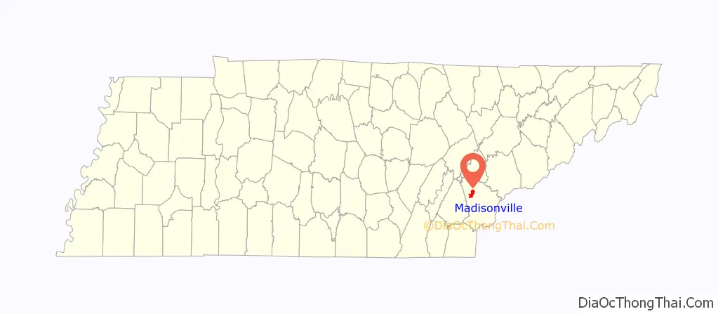
Madisonville location map. Where is Madisonville city?
History
The City of Madisonville originally began as the town of Tellico, and prior to that a Cherokee village of the same name. The Calhoun Treaty and resulting Hiwassee Purchase of 1819 opened the area for white settlement. Madisonville was founded in the early 1820s as a county seat for Monroe County, which had been formed in 1819. The town was initially known as “Tellico,” but its name was changed to “Madisonville” in 1830 in honor of U.S. President James Madison in accordance with a petition from the residents presented by state representative James Madison Greenway. Madisonville was incorporated on May 16, 1850.
Madisonville Road Map
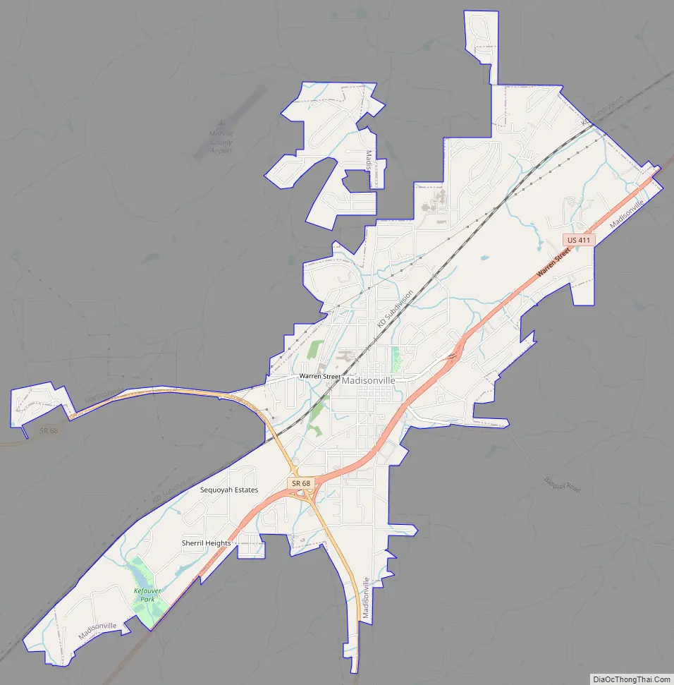
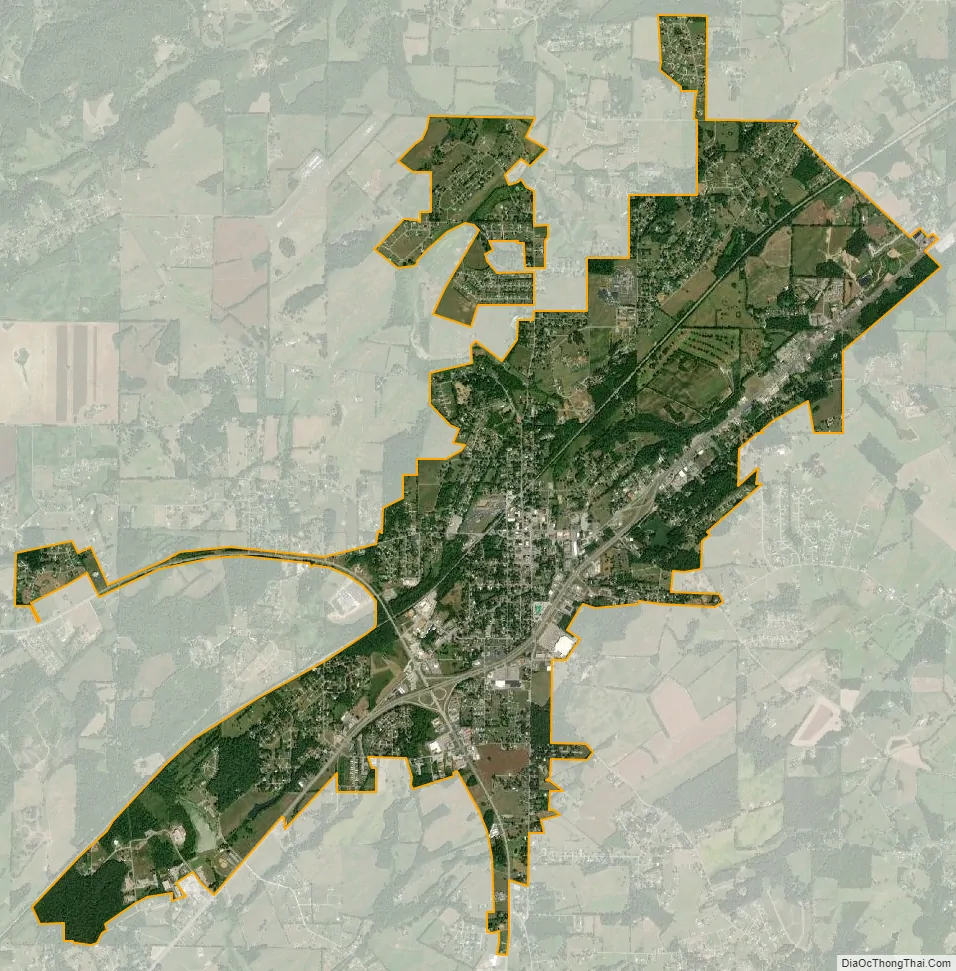
Madisonville city Satellite Map
Geography
Madisonville is located at 35°31′11″N 84°21′49″W / 35.51972°N 84.36361°W / 35.51972; -84.36361 (35.520691, -84.362905). It is situated along U.S. Route 411 just east of its junction with State Route 68, near the center of Monroe County. The Unicoi Mountains rise prominently to the southeast.
According to the United States Census Bureau, Madisonville has a total area of 5.8 square miles (15 km), all land.
See also
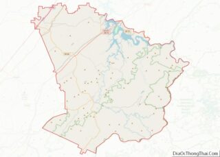
Map of Tennessee State and its subdivision:- Anderson
- Bedford
- Benton
- Bledsoe
- Blount
- Bradley
- Campbell
- Cannon
- Carroll
- Carter
- Cheatham
- Chester
- Claiborne
- Clay
- Cocke
- Coffee
- Crockett
- Cumberland
- Davidson
- Decatur
- DeKalb
- Dickson
- Dyer
- Fayette
- Fentress
- Franklin
- Gibson
- Giles
- Grainger
- Greene
- Grundy
- Hamblen
- Hamilton
- Hancock
- Hardeman
- Hardin
- Hawkins
- Haywood
- Henderson
- Henry
- Hickman
- Houston
- Humphreys
- Jackson
- Jefferson
- Johnson
- Knox
- Lake
- Lauderdale
- Lawrence
- Lewis
- Lincoln
- Loudon
- Macon
- Madison
- Marion
- Marshall
- Maury
- McMinn
- McNairy
- Meigs
- Monroe
- Montgomery
- Moore
- Morgan
- Obion
- Overton
- Perry
- Pickett
- Polk
- Putnam
- Rhea
- Roane
- Robertson
- Rutherford
- Scott
- Sequatchie
- Sevier
- Shelby
- Smith
- Stewart
- Sullivan
- Sumner
- Tipton
- Trousdale
- Unicoi
- Union
- Van Buren
- Warren
- Washington
- Wayne
- Weakley
- White
- Williamson
- Wilson
- Alabama
- Alaska
- Arizona
- Arkansas
- California
- Colorado
- Connecticut
- Delaware
- District of Columbia
- Florida
- Georgia
- Hawaii
- Idaho
- Illinois
- Indiana
- Iowa
- Kansas
- Kentucky
- Louisiana
- Maine
- Maryland
- Massachusetts
- Michigan
- Minnesota
- Mississippi
- Missouri
- Montana
- Nebraska
- Nevada
- New Hampshire
- New Jersey
- New Mexico
- New York
- North Carolina
- North Dakota
- Ohio
- Oklahoma
- Oregon
- Pennsylvania
- Rhode Island
- South Carolina
- South Dakota
- Tennessee
- Texas
- Utah
- Vermont
- Virginia
- Washington
- West Virginia
- Wisconsin
- Wyoming