Mitchellville is a city in Sumner County, Tennessee, United States. The population was 189 at the 2010 census, down from 207 in 2000.
| Name: | Mitchellville city |
|---|---|
| LSAD Code: | 25 |
| LSAD Description: | city (suffix) |
| State: | Tennessee |
| County: | Sumner County |
| Elevation: | 778 ft (237 m) |
| Total Area: | 0.54 sq mi (1.39 km²) |
| Land Area: | 0.54 sq mi (1.39 km²) |
| Water Area: | 0.00 sq mi (0.00 km²) |
| Total Population: | 163 |
| Population Density: | 303.54/sq mi (117.22/km²) |
| ZIP code: | 37119 |
| Area code: | 615 |
| FIPS code: | 4749460 |
| GNISfeature ID: | 1306760 |
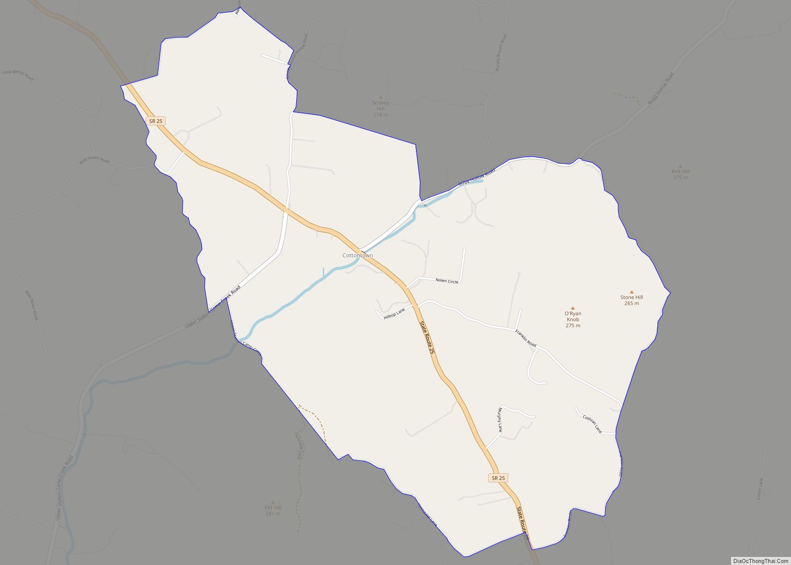
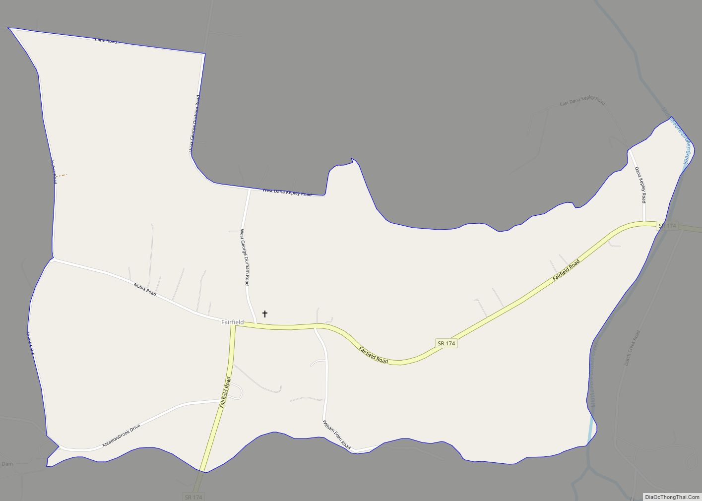
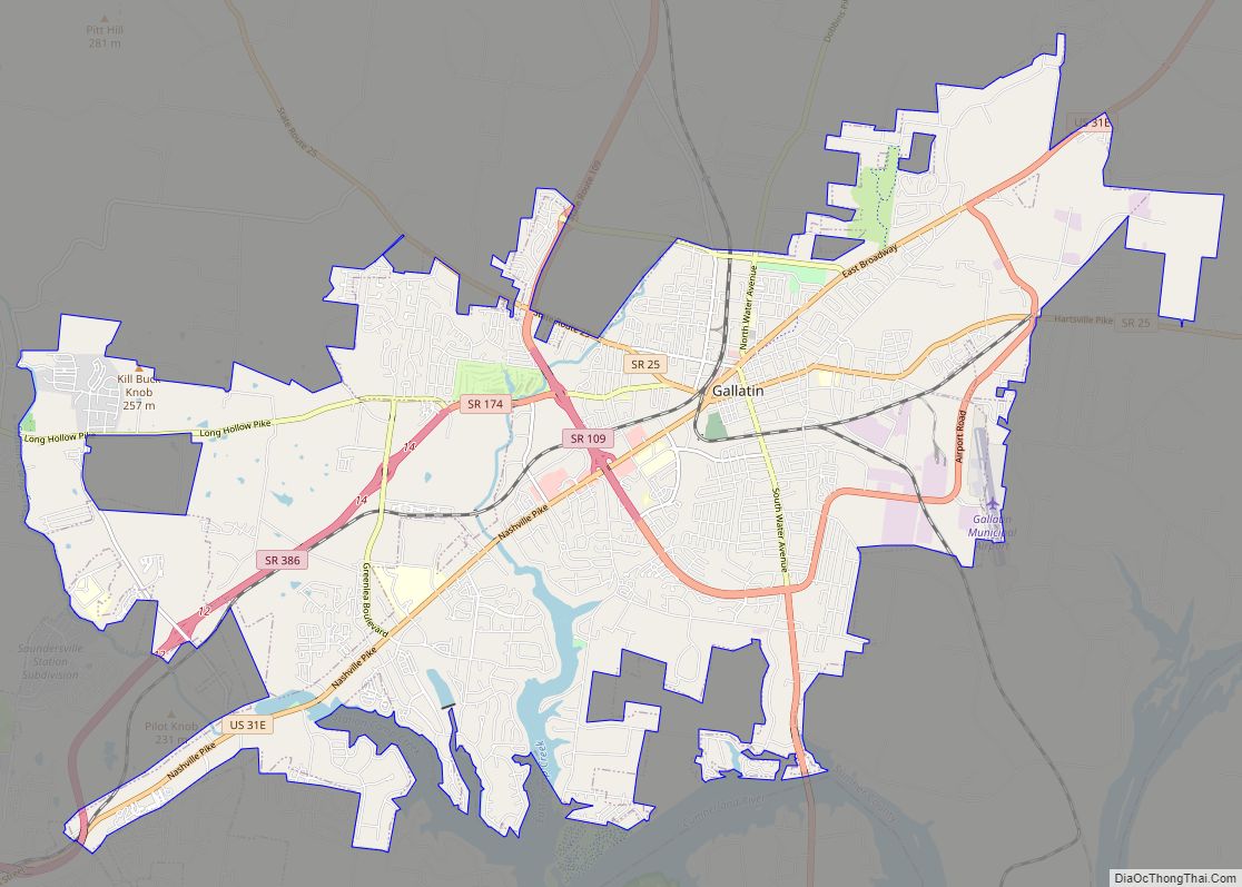
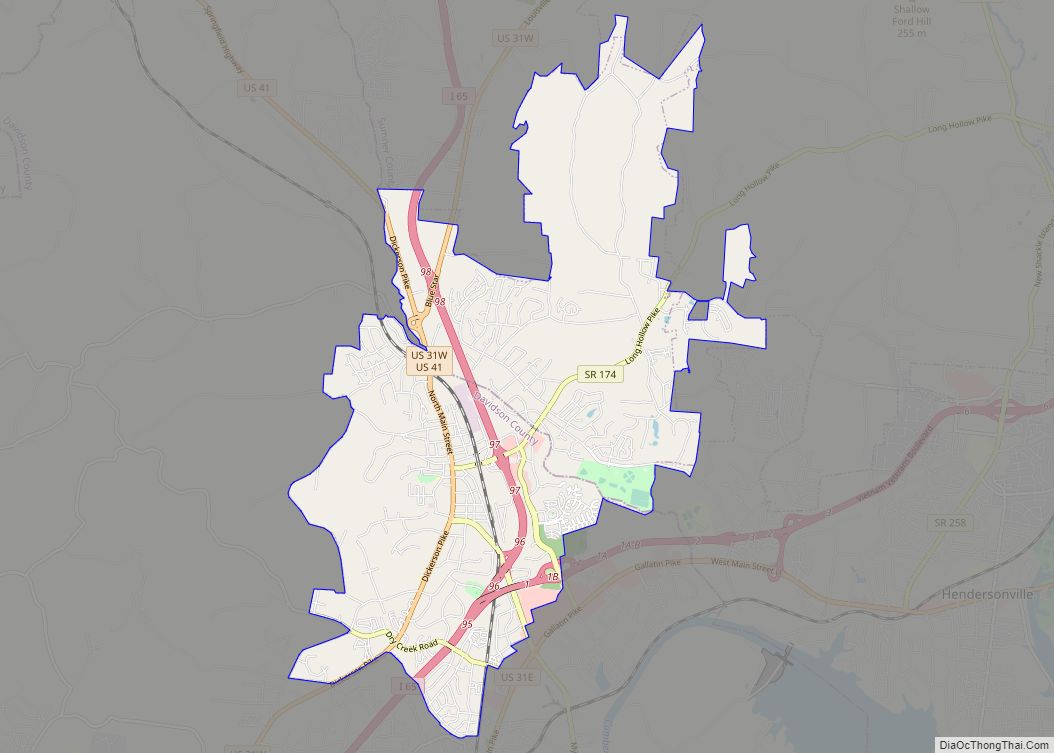
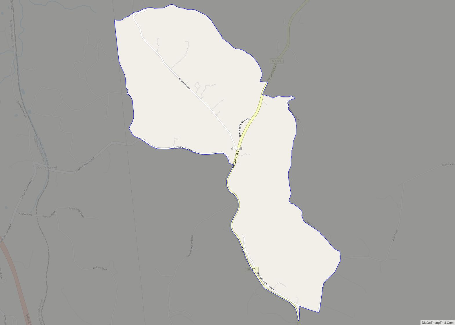
Online Interactive Map
Click on ![]() to view map in "full screen" mode.
to view map in "full screen" mode.
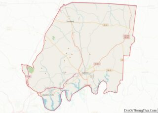
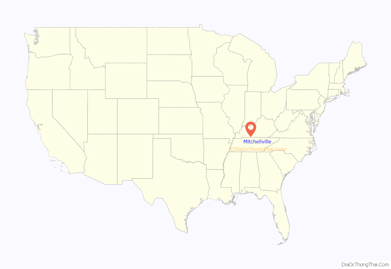
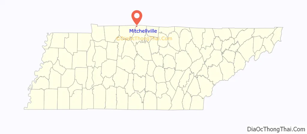
Mitchellville location map. Where is Mitchellville city?
History
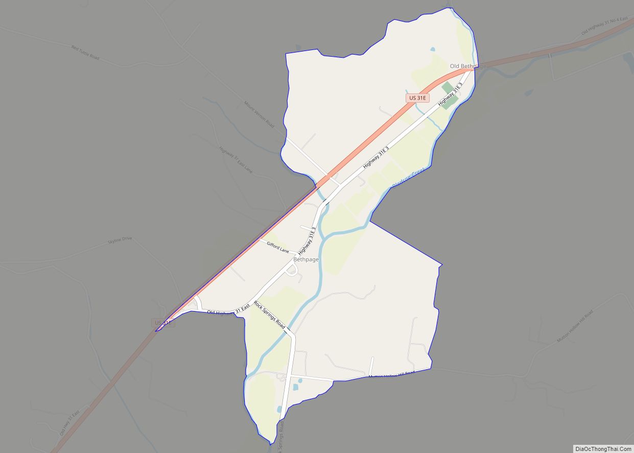
Mitchellville began with the establishment of a 200-acre (81 ha) farm by Ezekiel Marshall in 1814. The community that developed around the farm was originally known as Mitchell’s Cross Roads after Hiram Mitchell, who owned land near the intersection of two early roads. With the arrival of the railroad in 1859, the name of the community was changed to Mitchellville Station. The city incorporated in 1909, and thrived as a railroad stop throughout the first half of the 20th century. The city began to decline as rail traffic decreased in the 1950s, however, and never fully recovered from a destructive tornado in 1955.
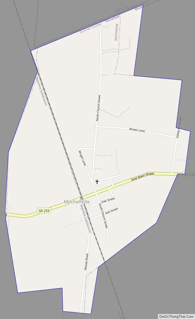
Mitchellville Road Map
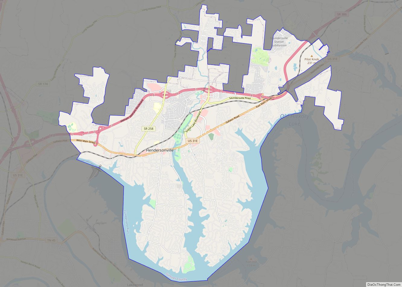
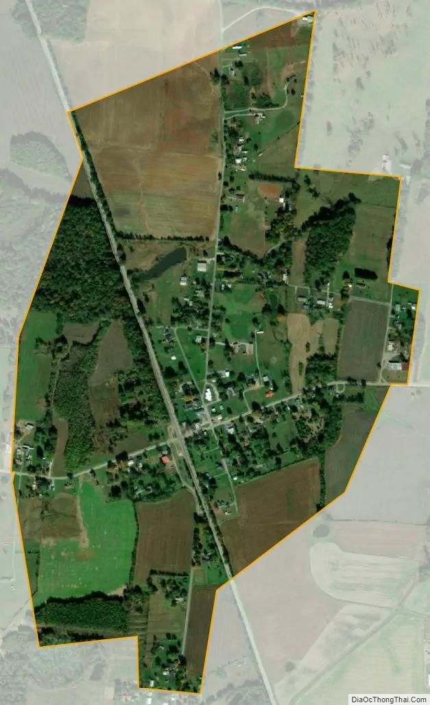
Mitchellville city Satellite Map
Geography
Mitchellville lies in north-central Tennessee, just east of the point where Sumner County, Tennessee, Robertson County, Tennessee, and Simpson County, Kentucky, meet. State Route 259 traverses Mitchellville east-to-west. To the west of the city, this highway intersects State Route 109, which connects the area to Portland, Tennessee, to the south, and U.S. Route 31W, which connects the area with Franklin, Kentucky, to the north.
According to the United States Census Bureau, the city has a total area of 0.5 square miles (1.3 km), all land.
See also
Map of Tennessee State and its subdivision:- Anderson
- Bedford
- Benton
- Bledsoe
- Blount
- Bradley
- Campbell
- Cannon
- Carroll
- Carter
- Cheatham
- Chester
- Claiborne
- Clay
- Cocke
- Coffee
- Crockett
- Cumberland
- Davidson
- Decatur
- DeKalb
- Dickson
- Dyer
- Fayette
- Fentress
- Franklin
- Gibson
- Giles
- Grainger
- Greene
- Grundy
- Hamblen
- Hamilton
- Hancock
- Hardeman
- Hardin
- Hawkins
- Haywood
- Henderson
- Henry
- Hickman
- Houston
- Humphreys
- Jackson
- Jefferson
- Johnson
- Knox
- Lake
- Lauderdale
- Lawrence
- Lewis
- Lincoln
- Loudon
- Macon
- Madison
- Marion
- Marshall
- Maury
- McMinn
- McNairy
- Meigs
- Monroe
- Montgomery
- Moore
- Morgan
- Obion
- Overton
- Perry
- Pickett
- Polk
- Putnam
- Rhea
- Roane
- Robertson
- Rutherford
- Scott
- Sequatchie
- Sevier
- Shelby
- Smith
- Stewart
- Sullivan
- Sumner
- Tipton
- Trousdale
- Unicoi
- Union
- Van Buren
- Warren
- Washington
- Wayne
- Weakley
- White
- Williamson
- Wilson
- Alabama
- Alaska
- Arizona
- Arkansas
- California
- Colorado
- Connecticut
- Delaware
- District of Columbia
- Florida
- Georgia
- Hawaii
- Idaho
- Illinois
- Indiana
- Iowa
- Kansas
- Kentucky
- Louisiana
- Maine
- Maryland
- Massachusetts
- Michigan
- Minnesota
- Mississippi
- Missouri
- Montana
- Nebraska
- Nevada
- New Hampshire
- New Jersey
- New Mexico
- New York
- North Carolina
- North Dakota
- Ohio
- Oklahoma
- Oregon
- Pennsylvania
- Rhode Island
- South Carolina
- South Dakota
- Tennessee
- Texas
- Utah
- Vermont
- Virginia
- Washington
- West Virginia
- Wisconsin
- Wyoming