Portland is a city in Sumner and Robertson counties in Tennessee. The population was 11,486 in 2010 according estimates by the U.S. census bureau and in 2020 the population was 13,156. Portland is a part of the Nashville Metropolitan Statistical Area.
| Name: | Portland city |
|---|---|
| LSAD Code: | 25 |
| LSAD Description: | city (suffix) |
| State: | Tennessee |
| County: | Robertson County, Sumner County |
| Incorporated: | 1904 |
| Elevation: | 801 ft (244 m) |
| Total Area: | 14.82 sq mi (38.39 km²) |
| Land Area: | 14.80 sq mi (38.34 km²) |
| Water Area: | 0.02 sq mi (0.05 km²) |
| Total Population: | 13,156 |
| Population Density: | 888.74/sq mi (343.14/km²) |
| ZIP code: | 37148 |
| Area code: | 615/629 |
| FIPS code: | 4760280 |
| GNISfeature ID: | 1298281 |
| Website: | www.cityofportlandtn.gov |
Online Interactive Map
Click on ![]() to view map in "full screen" mode.
to view map in "full screen" mode.
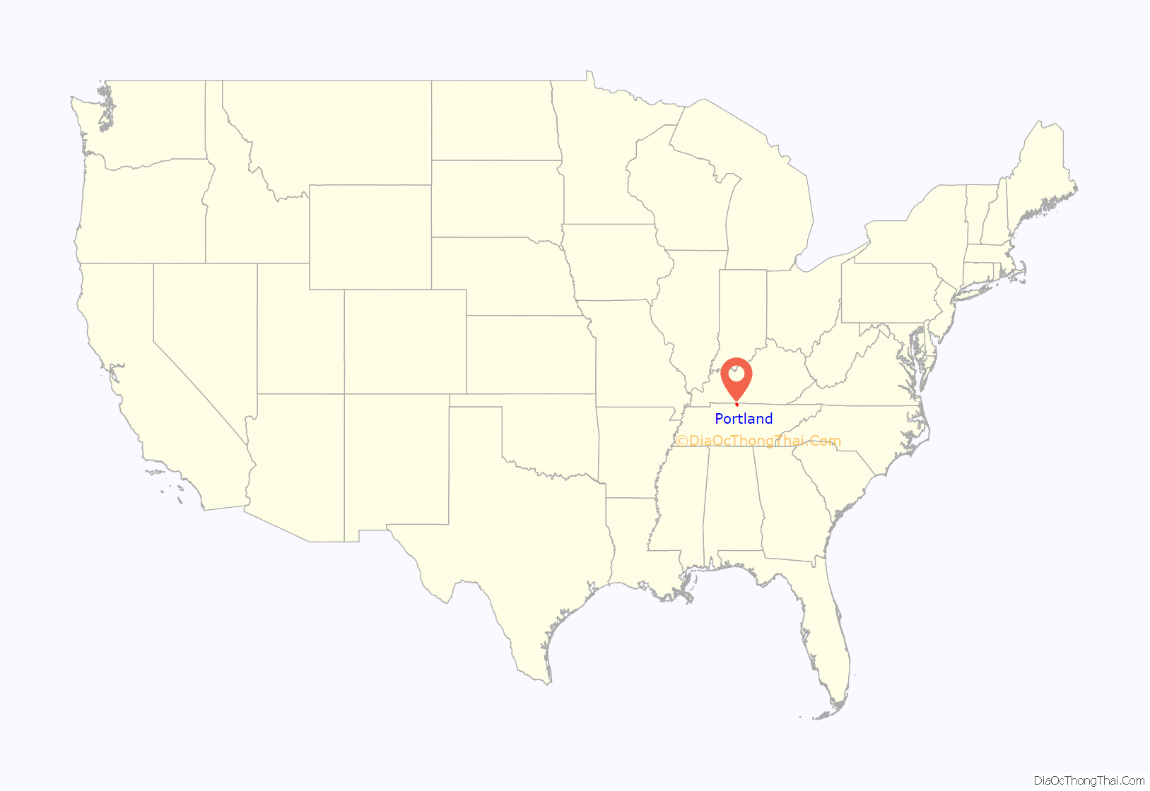
Portland location map. Where is Portland city?
History
Portland is located on the Highland Rim in extreme northern Middle Tennessee. This region has always been known for excellent agricultural soils, a spectacular wildlife environment and an enjoyable climate.
People were originally attracted from the tobacco belt in Virginia and the Carolinas to the Highland Rim for land speculation and production of dark tobacco. The Highland Rim offered ideal climate and soil conditions for growing dark tobacco. This lucrative crop increased the value of the land, which benefited land speculators in the area. Eventually these speculators moved on to attempt profits elsewhere. The farmers, however, remained.
The oldest local settlement in Portland is Fountain Head, which is located a couple of miles south of Portland. This settlement was founded 1792 by the James Gwin family. Within a century, it grew to include a mill, tobacco factory, post office, a Louisville and Nashville Railroad depot, and a number of local retail stores.
William Nolan built a school near Shun Pike in what is now Portland. This stimulated community growth. Portland was originally called Richland. In 1859, the L&N Railroad opened the Nashville-Bowling Green route through Portland. In the same year, a train depot was built in Richland along the railroad on property owned by Thomas Buntin. Buntin was appointed as the depot’s first agent and later became Richland’s first postmaster. The depot stimulated development in the village. Even today, the railroad runs directly through the center of town.
The first public high school in Sumner County was originally started as a seminary in 1874. It was later named Sumner County High School and opened in 1915.
In 1887, there were two towns in Tennessee named Richland. Officials of the L&N railroad were worried that a telegraph mix-up might result in a train wreck. Postal customers complained of inconvenience as mail was frequently misdirected between the two Richlands. The Railroad administrators and postal authorities decided that Richland in Sumner County would be renamed as Portland to avoid this confusion. The new name was effective on April 10, 1888. Portland was incorporated in April 1904 by legislation passed by the Tennessee Assembly.
In the second decade of the 21st century, Portland is growing at a fast pace buoyed by the growth of the Nashville Metropolitan Area. Daido America operates its US headquarters in Portland. Companies such as Kyowa America and Unipres have manufacturing plants in the city as well.
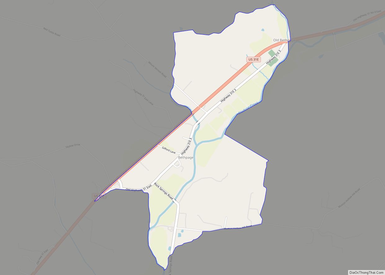
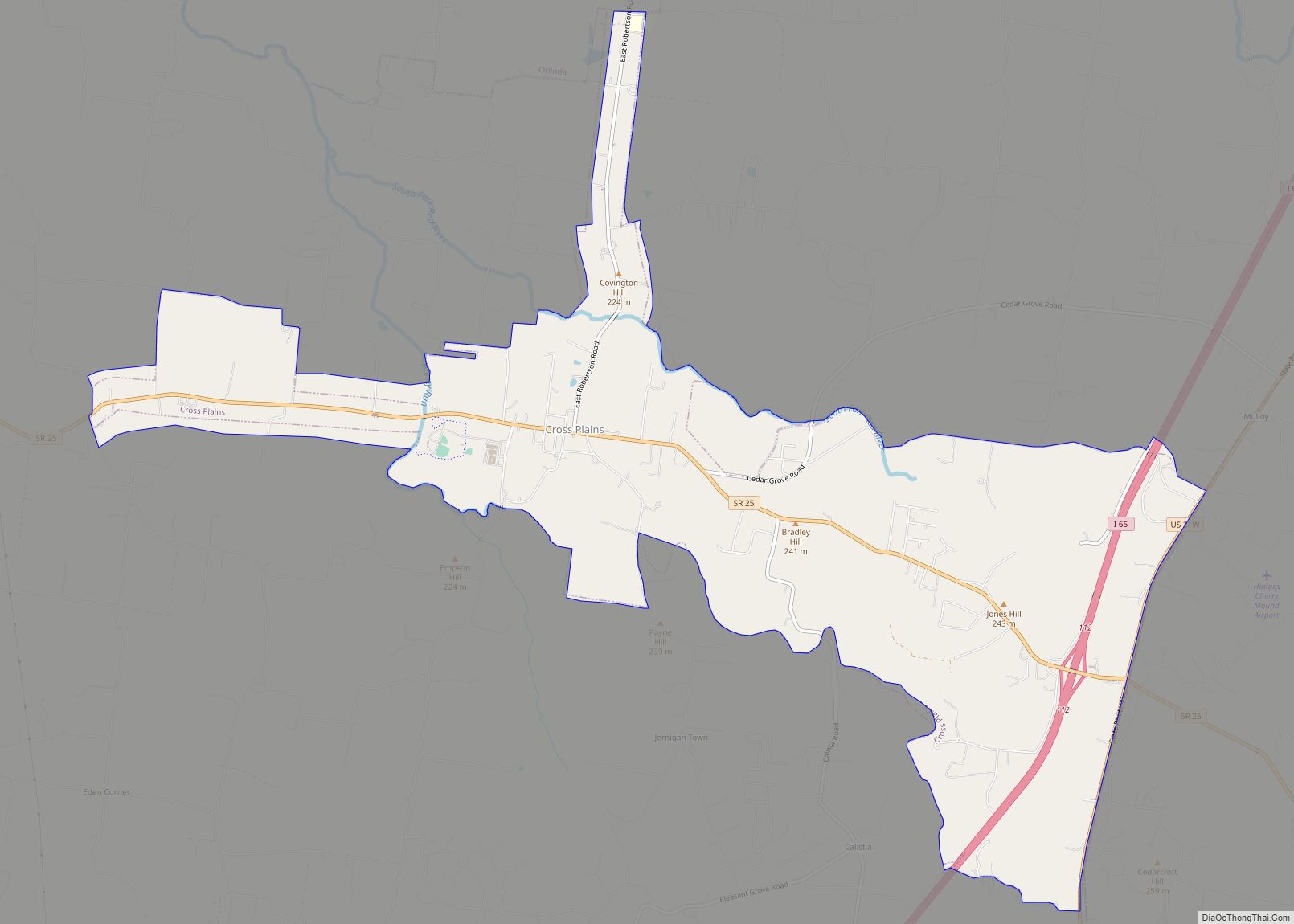
Portland Road Map
Portland city Satellite Map
Geography
According to the United States Census Bureau, the city has a total area of 11.4 square miles (30 km), of which, 11.4 square miles (30 km) is land and 0.09% is water.
Portland is the northern terminus of U.S. Bicycle Route 23. Portland is considered the strawberry capital of Tennessee.
Climate
See also
Map of Tennessee State and its subdivision:- Anderson
- Bedford
- Benton
- Bledsoe
- Blount
- Bradley
- Campbell
- Cannon
- Carroll
- Carter
- Cheatham
- Chester
- Claiborne
- Clay
- Cocke
- Coffee
- Crockett
- Cumberland
- Davidson
- Decatur
- DeKalb
- Dickson
- Dyer
- Fayette
- Fentress
- Franklin
- Gibson
- Giles
- Grainger
- Greene
- Grundy
- Hamblen
- Hamilton
- Hancock
- Hardeman
- Hardin
- Hawkins
- Haywood
- Henderson
- Henry
- Hickman
- Houston
- Humphreys
- Jackson
- Jefferson
- Johnson
- Knox
- Lake
- Lauderdale
- Lawrence
- Lewis
- Lincoln
- Loudon
- Macon
- Madison
- Marion
- Marshall
- Maury
- McMinn
- McNairy
- Meigs
- Monroe
- Montgomery
- Moore
- Morgan
- Obion
- Overton
- Perry
- Pickett
- Polk
- Putnam
- Rhea
- Roane
- Robertson
- Rutherford
- Scott
- Sequatchie
- Sevier
- Shelby
- Smith
- Stewart
- Sullivan
- Sumner
- Tipton
- Trousdale
- Unicoi
- Union
- Van Buren
- Warren
- Washington
- Wayne
- Weakley
- White
- Williamson
- Wilson
- Alabama
- Alaska
- Arizona
- Arkansas
- California
- Colorado
- Connecticut
- Delaware
- District of Columbia
- Florida
- Georgia
- Hawaii
- Idaho
- Illinois
- Indiana
- Iowa
- Kansas
- Kentucky
- Louisiana
- Maine
- Maryland
- Massachusetts
- Michigan
- Minnesota
- Mississippi
- Missouri
- Montana
- Nebraska
- Nevada
- New Hampshire
- New Jersey
- New Mexico
- New York
- North Carolina
- North Dakota
- Ohio
- Oklahoma
- Oregon
- Pennsylvania
- Rhode Island
- South Carolina
- South Dakota
- Tennessee
- Texas
- Utah
- Vermont
- Virginia
- Washington
- West Virginia
- Wisconsin
- Wyoming
