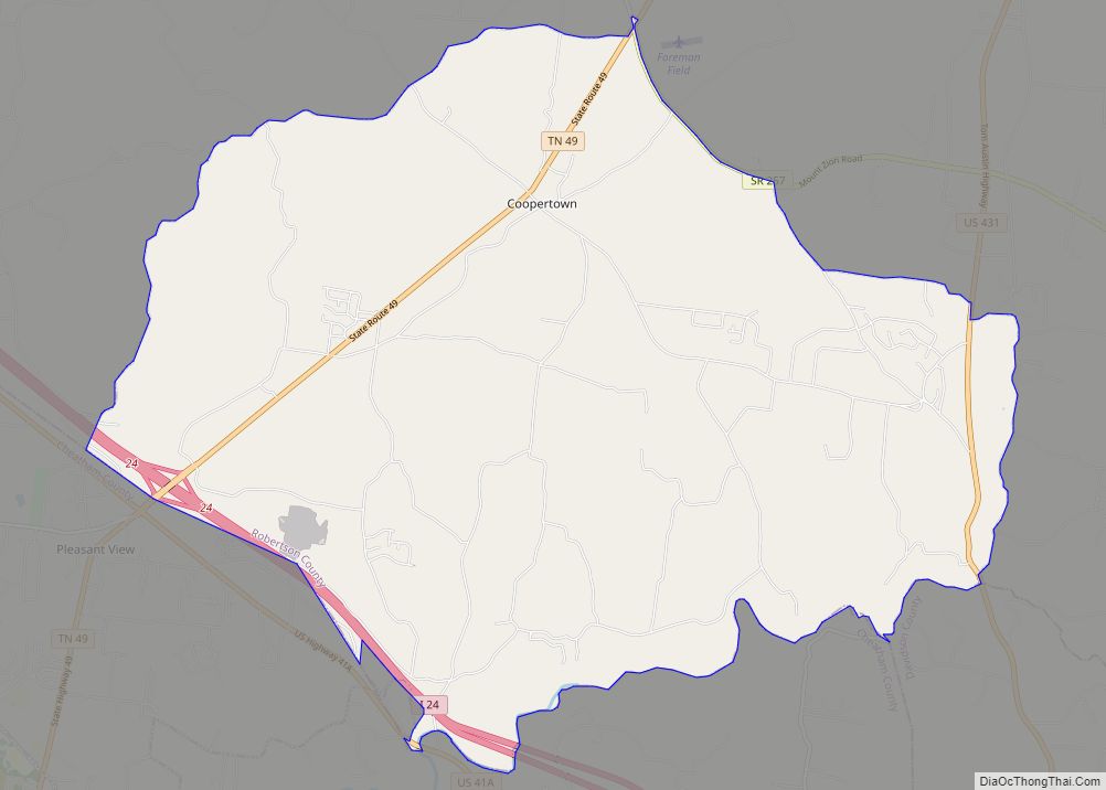
Coopertown is a town in Robertson County, Tennessee. A self-described “bedroom community,” it had a population of 4,480 at the 2020 census.
| Name: | Coopertown town |
|---|---|
| LSAD Code: | 43 |
| LSAD Description: | town (suffix) |
| State: | Tennessee |
| County: | Robertson County |
| Incorporated: | 1996 |
| Elevation: | 725 ft (221 m) |
| Total Area: | 31.60 sq mi (81.84 km²) |
| Land Area: | 31.60 sq mi (81.84 km²) |
| Water Area: | 0.00 sq mi (0.00 km²) |
| Total Population: | 4,480 |
| Population Density: | 141.77/sq mi (54.74/km²) |
| FIPS code: | 4716980 |
| GNISfeature ID: | 1306100 |
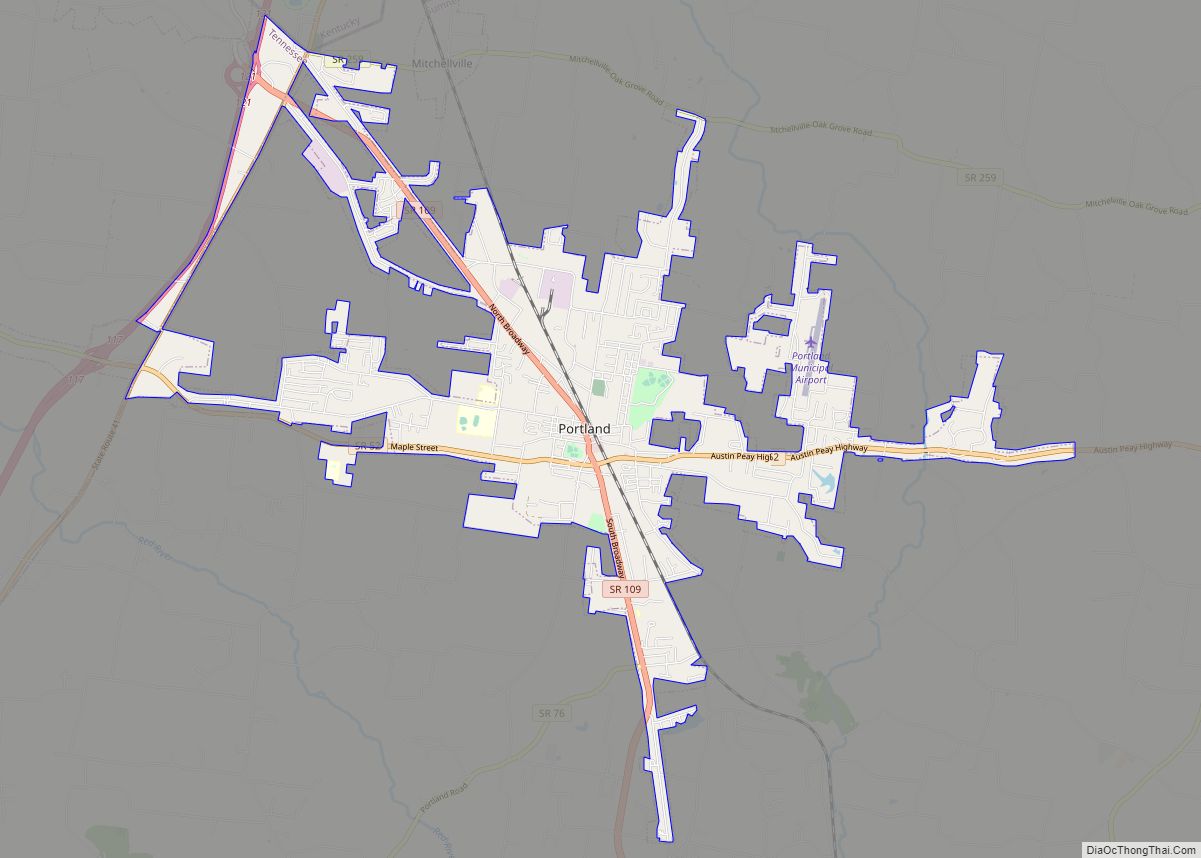
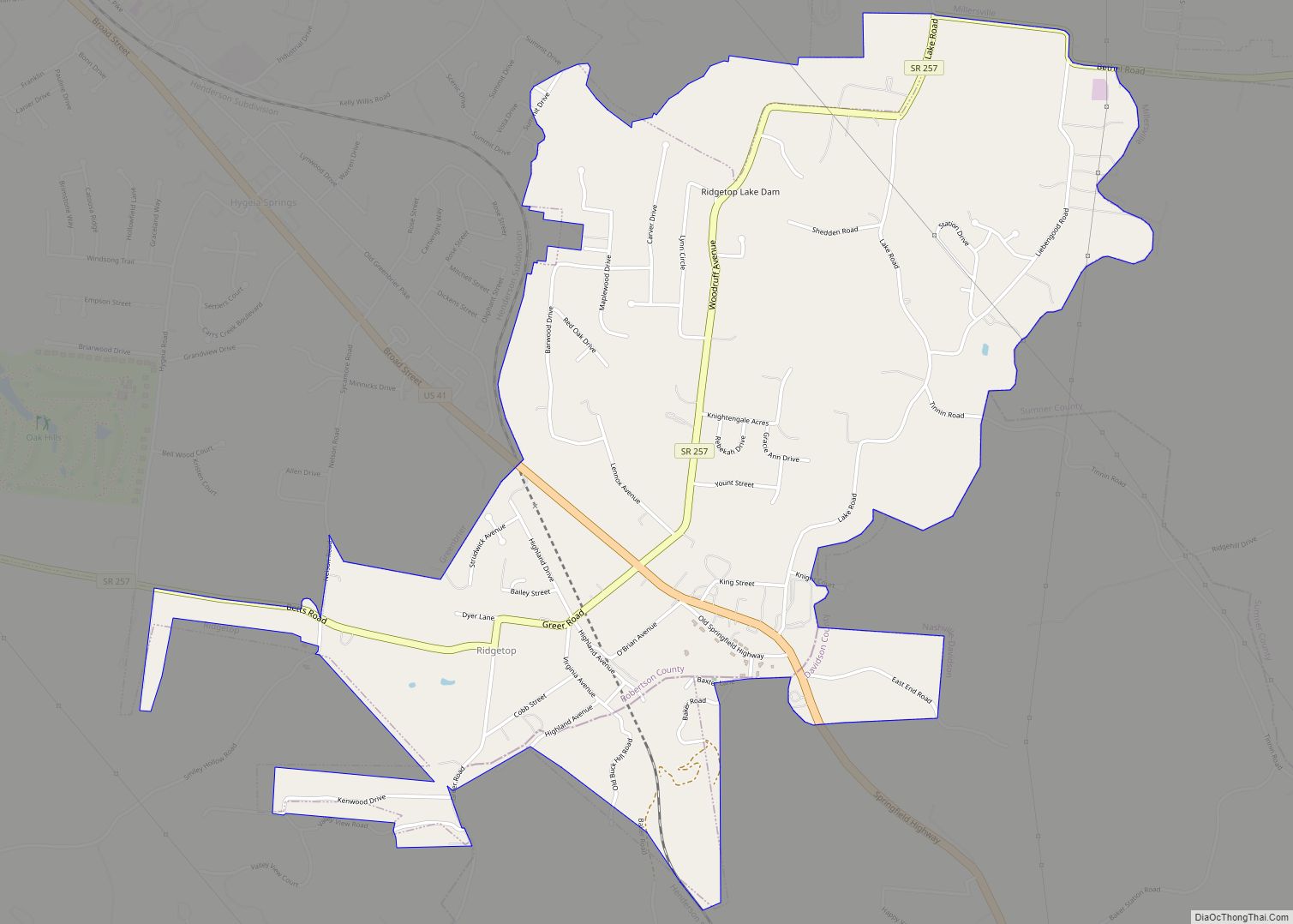
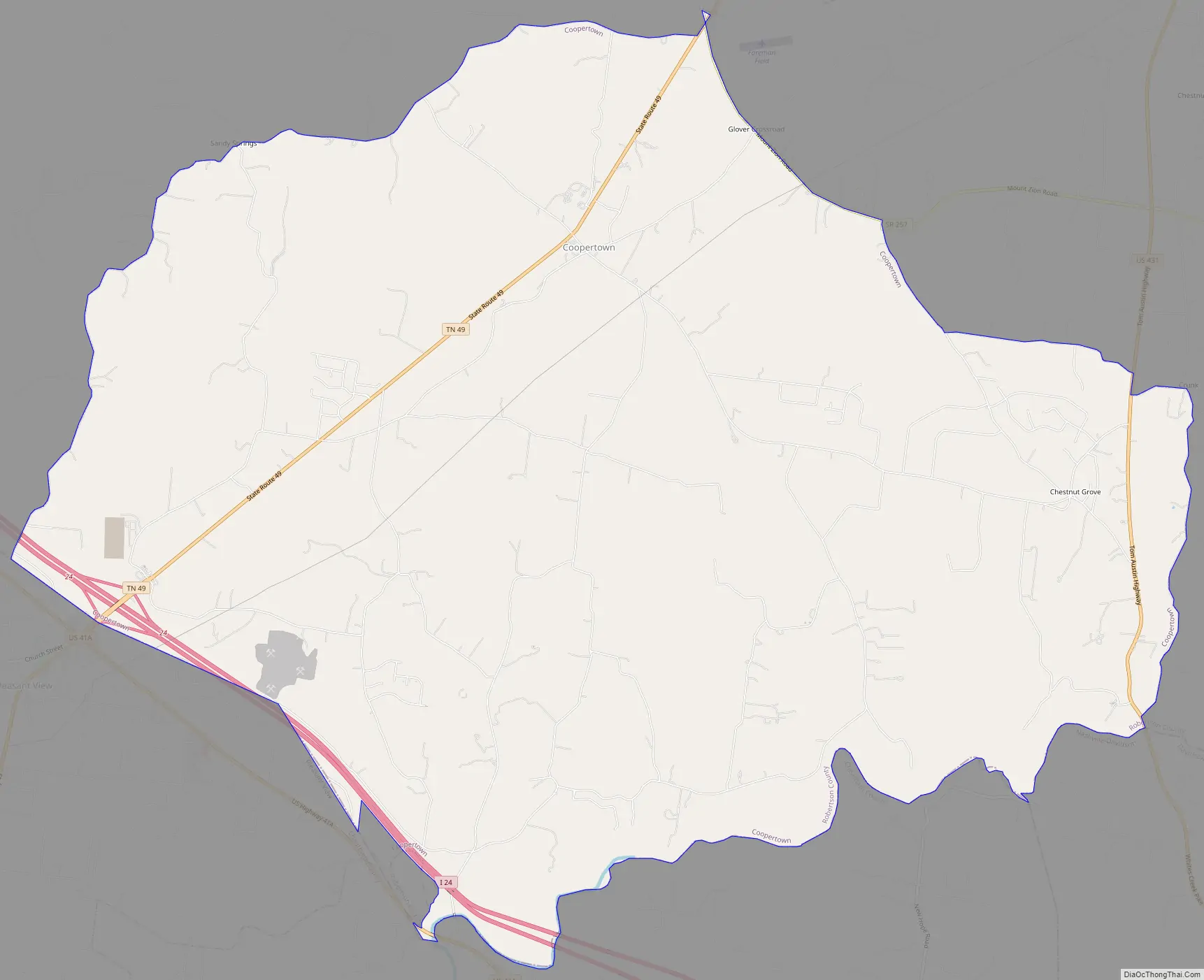
Online Interactive Map
Click on ![]() to view map in "full screen" mode.
to view map in "full screen" mode.
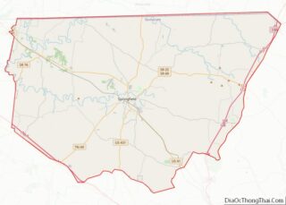
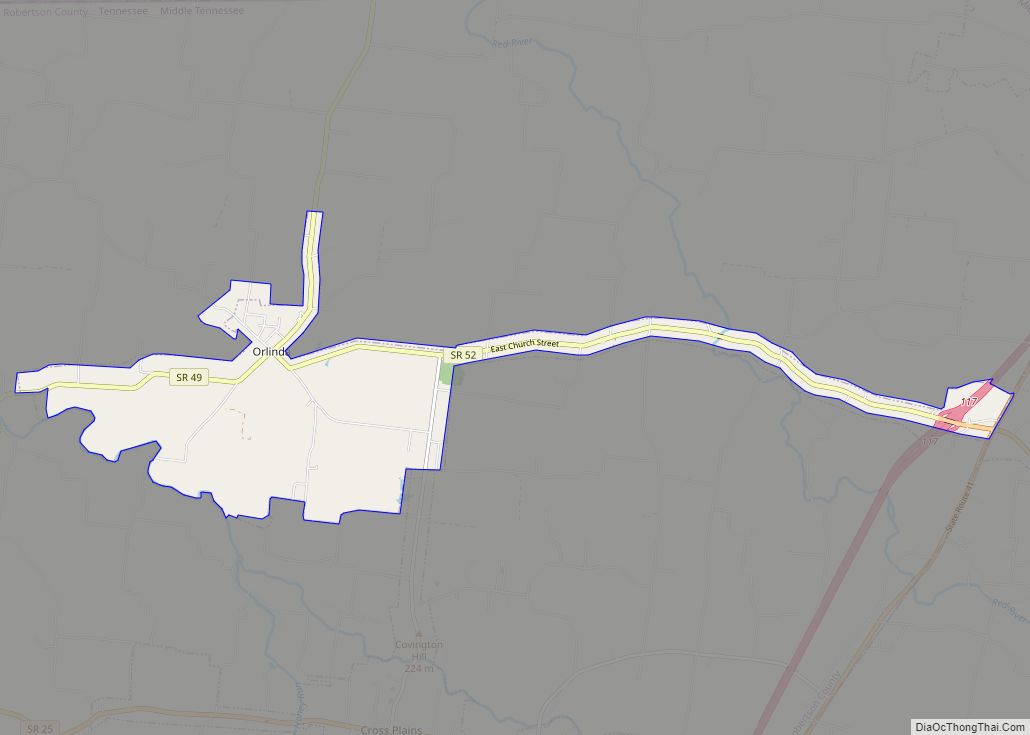
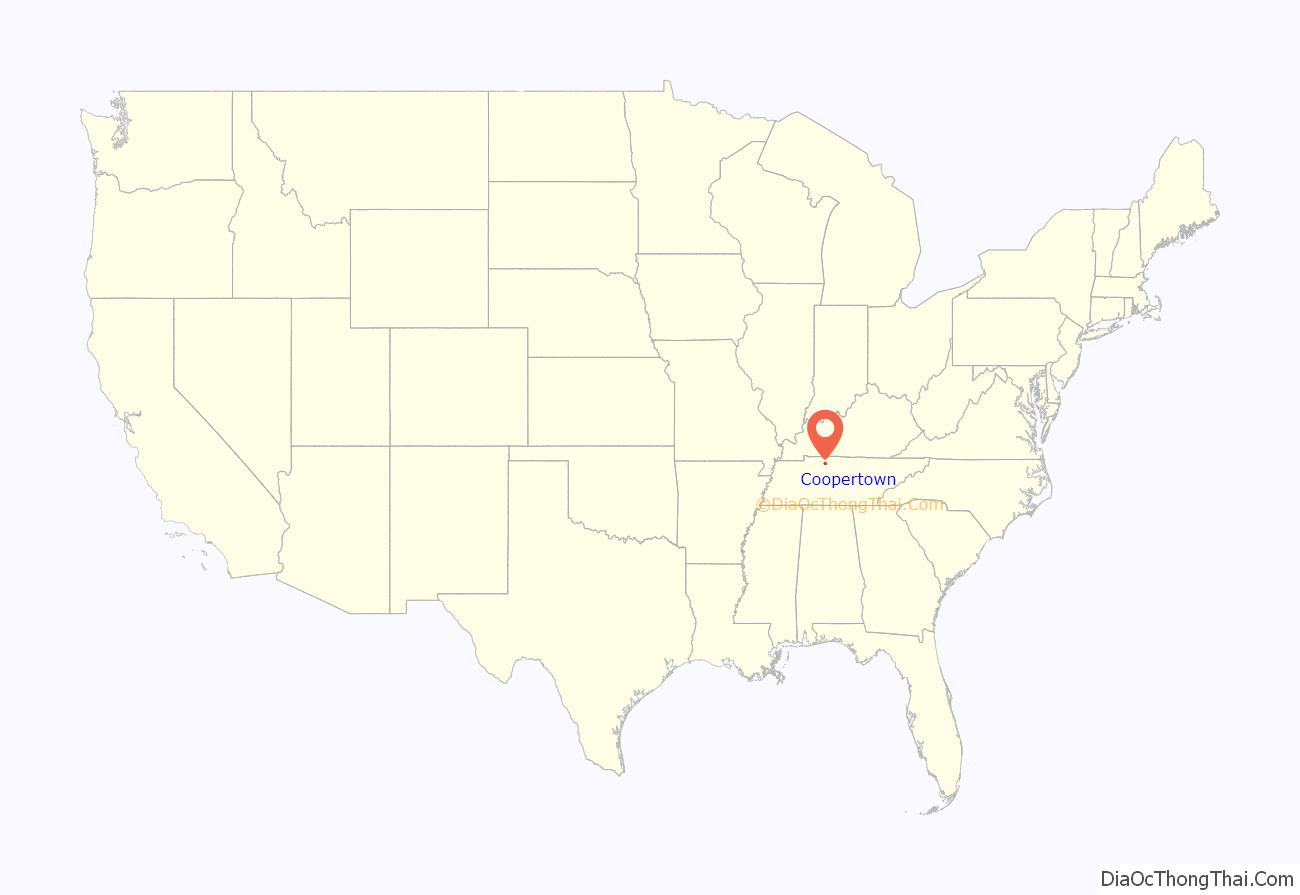
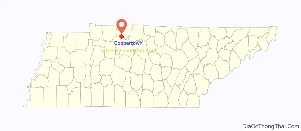
Coopertown location map. Where is Coopertown town?
History
The tribal identities of the 16th and 17th century Native American occupants of present-day Tennessee are disputed. In later years, the part of Middle Tennessee that was to become the Coopertown community was claimed as territorial hunting grounds by both the Cherokee and the Chickasaw. That area was at the southern edge of what became known as the Transylvania Purchase, land purchased in 1775 from the Cherokee by Richard Henderson, a North Carolina land speculator seeking to establish a 14th colony.
Although Transylvania, the proposed 14th colony, was never recognized, the area was settled by immigrants in the late 18th and early 19th centuries.
David Naive settled there in 1825, and the area became known as Naive’s Crossroads. During subsequent years, the county’s involvement in the production of barrels and whiskey led to the establishment of one or more cooper shops in the community, making barrels for the nearby Red River mills. The presence of coopers led to the community’s present name.
Coopertown was officially incorporated in 1996, a decision taken by the citizens of the community in response to a proposal to locate a landfill in the community. In August 2005, Coopertown Middle School opened, serving grades 6 to 8, and in 2007, grades 4 and 5 would move to the middle school.
In July 2016, ground breaking occurred with Lowe’s to build a 1.2 million sq. ft. fulfillment distribution center to employ 400 people and ramping up to 600 people. The facility opened in July 2018. It is located on York Rd. which is off I-24 at exit 24.
On January 7, 2019, a drive-by shooting occurred at a home on the 3600 block of Old Coopertown Road at 3:00 AM, nobody was injured but the home was damaged.
Former Mayors – Ethel Spiller (1996-2000), Herman Davis (2000-2004), Danny Crosby (2004–2008) and J. Sam Childs (2008-2016)
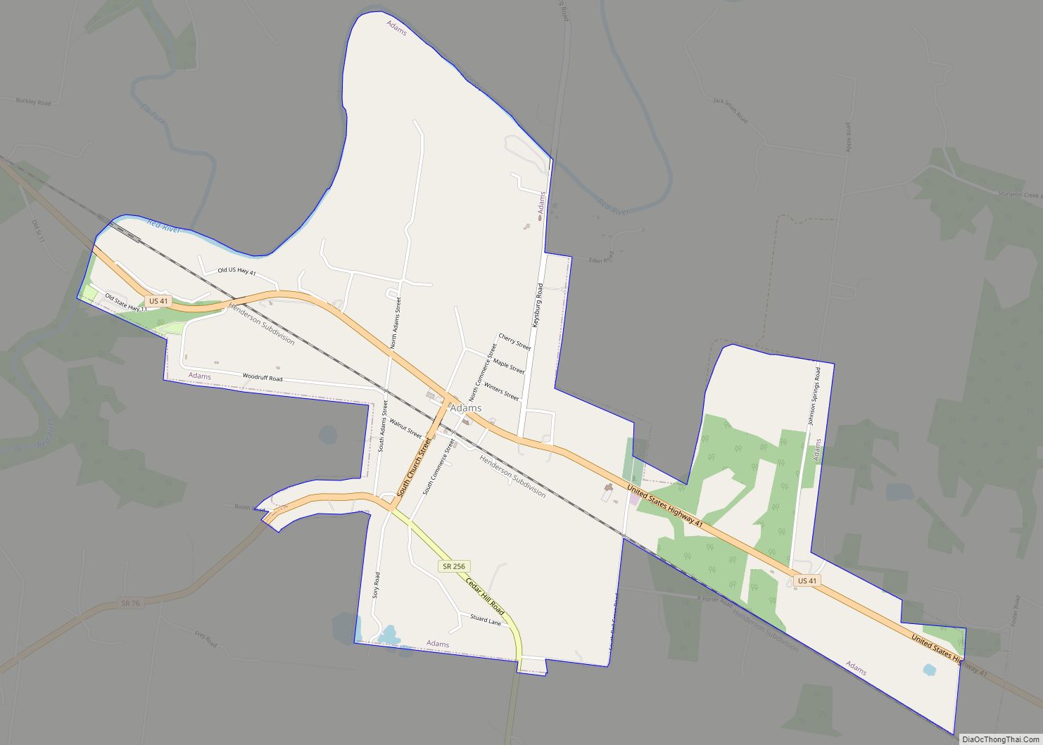
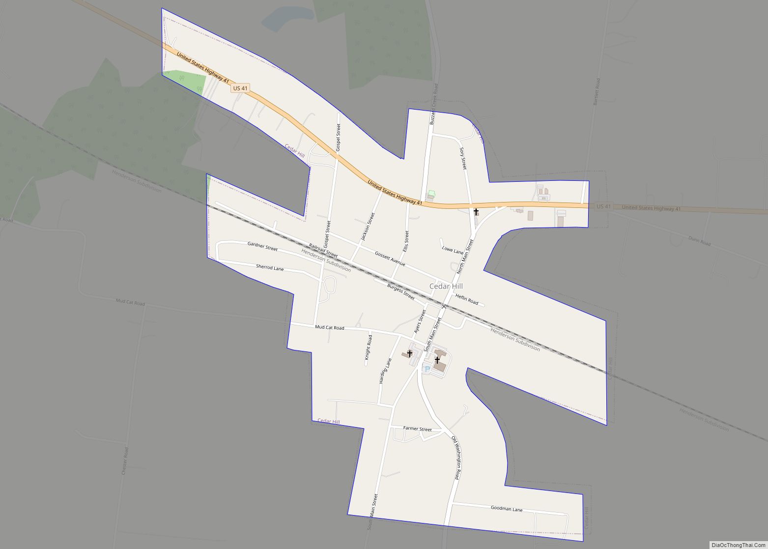
Coopertown Road Map
Coopertown city Satellite Map

Geography
According to the United States Census Bureau, the town has a total area of 31.9 square miles (83 km), all land.
See also
Map of Tennessee State and its subdivision:- Anderson
- Bedford
- Benton
- Bledsoe
- Blount
- Bradley
- Campbell
- Cannon
- Carroll
- Carter
- Cheatham
- Chester
- Claiborne
- Clay
- Cocke
- Coffee
- Crockett
- Cumberland
- Davidson
- Decatur
- DeKalb
- Dickson
- Dyer
- Fayette
- Fentress
- Franklin
- Gibson
- Giles
- Grainger
- Greene
- Grundy
- Hamblen
- Hamilton
- Hancock
- Hardeman
- Hardin
- Hawkins
- Haywood
- Henderson
- Henry
- Hickman
- Houston
- Humphreys
- Jackson
- Jefferson
- Johnson
- Knox
- Lake
- Lauderdale
- Lawrence
- Lewis
- Lincoln
- Loudon
- Macon
- Madison
- Marion
- Marshall
- Maury
- McMinn
- McNairy
- Meigs
- Monroe
- Montgomery
- Moore
- Morgan
- Obion
- Overton
- Perry
- Pickett
- Polk
- Putnam
- Rhea
- Roane
- Robertson
- Rutherford
- Scott
- Sequatchie
- Sevier
- Shelby
- Smith
- Stewart
- Sullivan
- Sumner
- Tipton
- Trousdale
- Unicoi
- Union
- Van Buren
- Warren
- Washington
- Wayne
- Weakley
- White
- Williamson
- Wilson
- Alabama
- Alaska
- Arizona
- Arkansas
- California
- Colorado
- Connecticut
- Delaware
- District of Columbia
- Florida
- Georgia
- Hawaii
- Idaho
- Illinois
- Indiana
- Iowa
- Kansas
- Kentucky
- Louisiana
- Maine
- Maryland
- Massachusetts
- Michigan
- Minnesota
- Mississippi
- Missouri
- Montana
- Nebraska
- Nevada
- New Hampshire
- New Jersey
- New Mexico
- New York
- North Carolina
- North Dakota
- Ohio
- Oklahoma
- Oregon
- Pennsylvania
- Rhode Island
- South Carolina
- South Dakota
- Tennessee
- Texas
- Utah
- Vermont
- Virginia
- Washington
- West Virginia
- Wisconsin
- Wyoming