Adams is a city in Robertson County, Tennessee, United States. It is near the Kentucky state line. The population was 624 at the 2020 census.
| Name: | Adams city |
|---|---|
| LSAD Code: | 25 |
| LSAD Description: | city (suffix) |
| State: | Tennessee |
| County: | Robertson County |
| Incorporated: | 1963 |
| Elevation: | 548 ft (167 m) |
| Total Area: | 2.39 sq mi (6.19 km²) |
| Land Area: | 2.39 sq mi (6.19 km²) |
| Water Area: | 0.00 sq mi (0.00 km²) |
| Total Population: | 624 |
| Population Density: | 260.98/sq mi (100.78/km²) |
| ZIP code: | 37010 |
| Area code: | 615 |
| FIPS code: | 4700200 |
| GNISfeature ID: | 1304763 |
| Website: | www.adamstennessee.org |
Online Interactive Map
Click on ![]() to view map in "full screen" mode.
to view map in "full screen" mode.
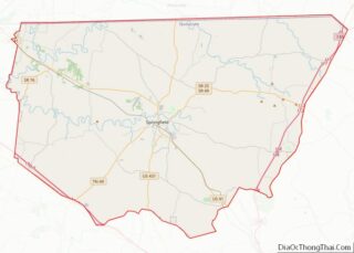
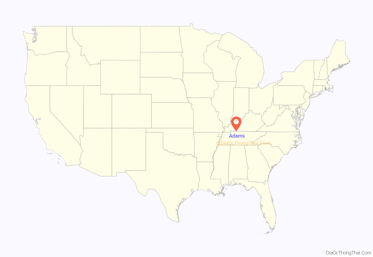
Adams location map. Where is Adams city?

History
The first settlers in what is now Adams arrived in the late 18th century. The Red River Baptist Church, one of the first churches founded west of the Cumberland Plateau, was built on the banks of the Red River in 1791. The congregation relocated to its current location on Church Street in 1898.
Adams developed in the late 1850s as a station on the Edgefield and Kentucky Railroad (later part of the L&N system). Most of the city’s early buildings were destroyed during the Civil War. The city originally incorporated as Red River in 1869, but was renamed Adams Station in honor of James Reuben Adams, who owned much of the land on which the city was built. The name was simplified to “Adams” in 1898. By the late 1880s, Adams was home to several stores, a flour mill, two churches, and a school. The city repealed its charter in 1899, but reincorporated in 1908, and incorporated as a city in 1963.
During the 1920s, Adams began to receive a steady flow of automobile traffic due to its location along U.S. Route 41, which was one of the main roads linking the Chicago area with Florida. The city began to decline in the mid 20th century with the discontinuance of passenger rail traffic and the construction of Interstate 24 and Interstate 65 (which drew much of the automobile traffic away from US 41).
Adams is the site of an infamous haunting, the Bell Witch. The first manifestations of the Bell Witch haunting supposedly occurred in 1817 through 1820 on a farm owned by John Bell. A memorial to the Bell family can be found at Bellwood Cemetery. The city’s municipal offices are now located in the former Bell School, which was built in 1920 and named for a descendant of John Bell. A log cabin built by John Bell around 1810 has been relocated to a plot across from the Bell School.
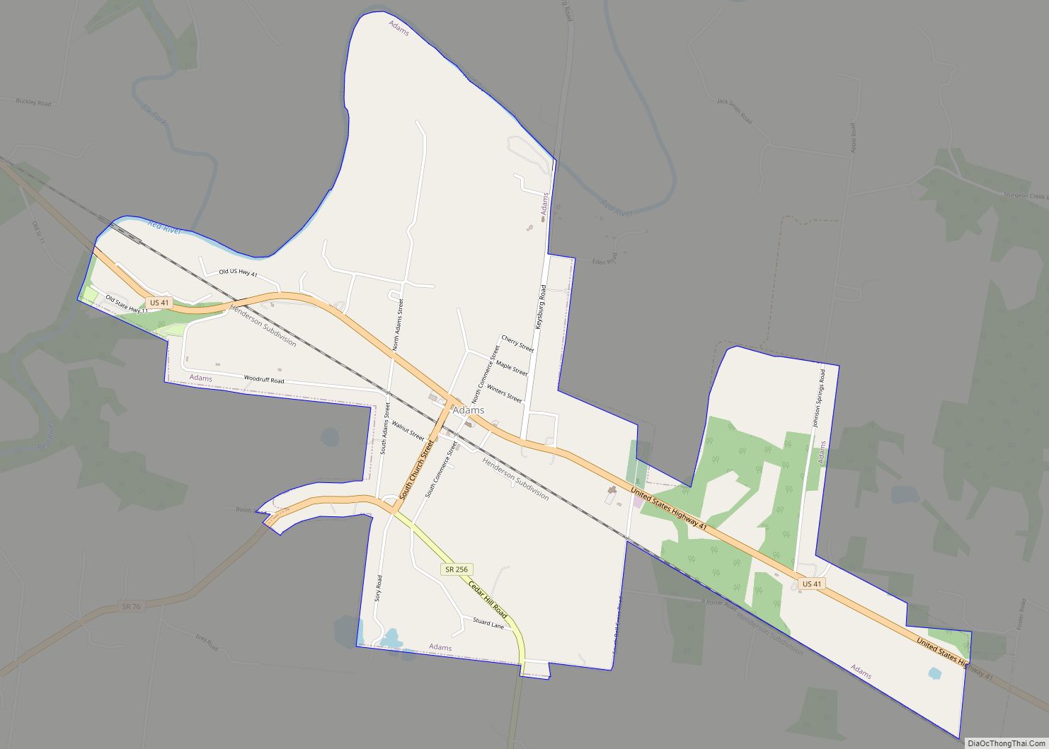
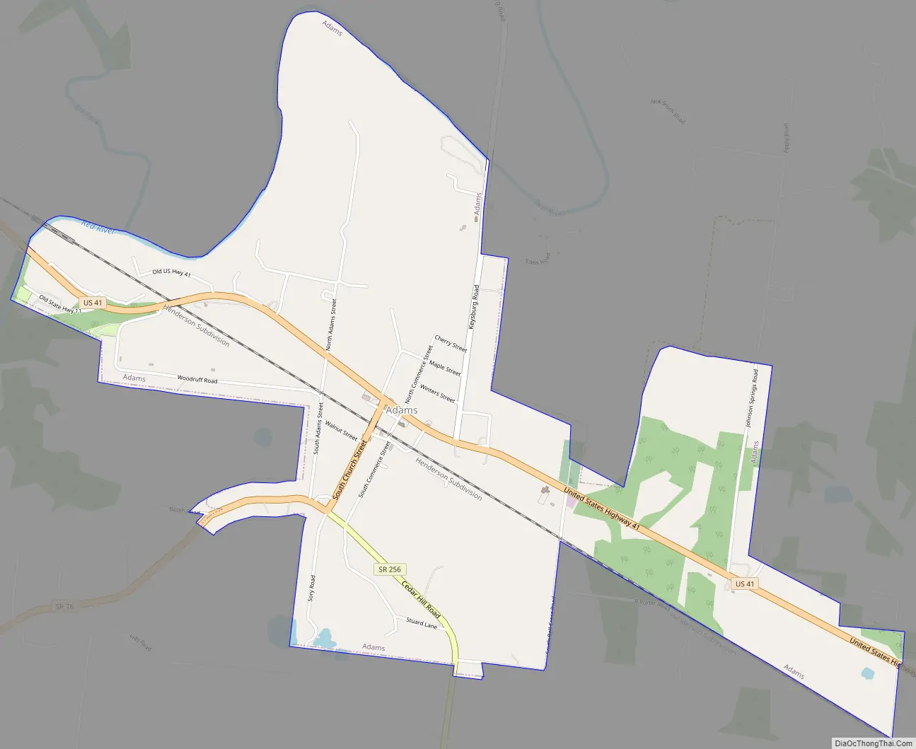
Adams Road Map
Adams city Satellite Map

Geography
The city is situated in northwestern Robertson County at the intersection of U.S. Route 41, which connects Adams with Springfield to the southeast and Guthrie, Kentucky, to the northwest, and State Route 76, which connects Adams with Clarksville to the southwest. The city’s boundaries stretch northward and westward to the Red River, a tributary of the Cumberland River.
According to the United States Census Bureau, the city has a total area of 2.5 square miles (6.5 km), all land.
See also
Map of Tennessee State and its subdivision:- Anderson
- Bedford
- Benton
- Bledsoe
- Blount
- Bradley
- Campbell
- Cannon
- Carroll
- Carter
- Cheatham
- Chester
- Claiborne
- Clay
- Cocke
- Coffee
- Crockett
- Cumberland
- Davidson
- Decatur
- DeKalb
- Dickson
- Dyer
- Fayette
- Fentress
- Franklin
- Gibson
- Giles
- Grainger
- Greene
- Grundy
- Hamblen
- Hamilton
- Hancock
- Hardeman
- Hardin
- Hawkins
- Haywood
- Henderson
- Henry
- Hickman
- Houston
- Humphreys
- Jackson
- Jefferson
- Johnson
- Knox
- Lake
- Lauderdale
- Lawrence
- Lewis
- Lincoln
- Loudon
- Macon
- Madison
- Marion
- Marshall
- Maury
- McMinn
- McNairy
- Meigs
- Monroe
- Montgomery
- Moore
- Morgan
- Obion
- Overton
- Perry
- Pickett
- Polk
- Putnam
- Rhea
- Roane
- Robertson
- Rutherford
- Scott
- Sequatchie
- Sevier
- Shelby
- Smith
- Stewart
- Sullivan
- Sumner
- Tipton
- Trousdale
- Unicoi
- Union
- Van Buren
- Warren
- Washington
- Wayne
- Weakley
- White
- Williamson
- Wilson
- Alabama
- Alaska
- Arizona
- Arkansas
- California
- Colorado
- Connecticut
- Delaware
- District of Columbia
- Florida
- Georgia
- Hawaii
- Idaho
- Illinois
- Indiana
- Iowa
- Kansas
- Kentucky
- Louisiana
- Maine
- Maryland
- Massachusetts
- Michigan
- Minnesota
- Mississippi
- Missouri
- Montana
- Nebraska
- Nevada
- New Hampshire
- New Jersey
- New Mexico
- New York
- North Carolina
- North Dakota
- Ohio
- Oklahoma
- Oregon
- Pennsylvania
- Rhode Island
- South Carolina
- South Dakota
- Tennessee
- Texas
- Utah
- Vermont
- Virginia
- Washington
- West Virginia
- Wisconsin
- Wyoming