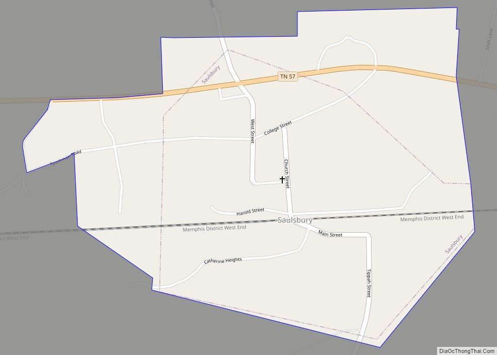
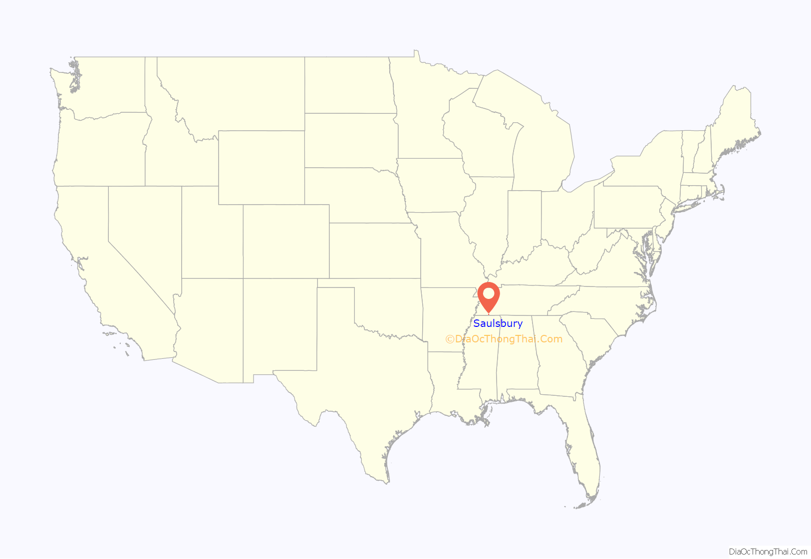
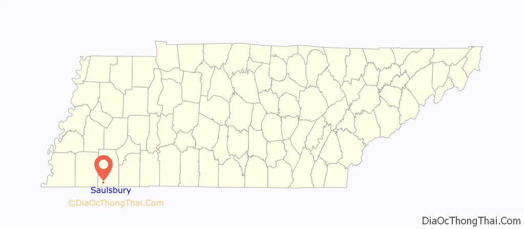
Saulsbury is a town in rural Hardeman County, Tennessee. It is located along State Highway 57 in southwest Hardeman County. The population was 99 at the 2000 census and 81 at the 2010 census showing a decrease of 18. Saulsbury is the least-populated incorporated municipality in Tennessee.
| Name: | Saulsbury town |
|---|---|
| LSAD Code: | 43 |
| LSAD Description: | town (suffix) |
| State: | Tennessee |
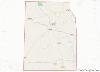
| County: | Hardeman County |
| Elevation: | 535 ft (163 m) |
| Total Area: | 0.60 sq mi (1.57 km²) |
| Land Area: | 0.60 sq mi (1.57 km²) |
| Water Area: | 0.00 sq mi (0.00 km²) |
| Total Population: | 112 |
| Population Density: | 185.12/sq mi (71.44/km²) |
| ZIP code: | 38067 |
| Area code: | 731 |
| FIPS code: | 4766680 |
| GNISfeature ID: | 1300805 |
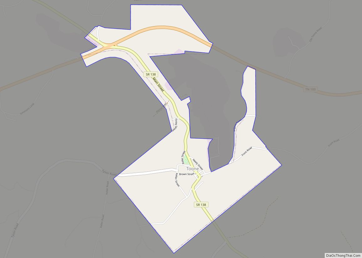
Online Interactive Map
Click on ![]() to view map in "full screen" mode.
to view map in "full screen" mode.
Saulsbury location map. Where is Saulsbury town?
History
Saulsbury’s historical roots stem from a former settlement named Berlin, Tennessee, which was located one mile south of the current location of Saulsbury. Two regional mail roads—one from Bolivar to Ripley, Mississippi, and another from LaGrange to Corinth, Mississippi. These mail roads met at an intersection which would form into a trading center. In 1839 a post office was established there, and Berlin would be incorporated in 1846, and within five years it would be home to 351 people. Upon the completion of the Memphis and Charleston Railroad, Berlin was bypassed due to one landowner’s refusal to sell their property to the railroad. A track was instead laid one mile north of Berlin, on land that was owned by Burrell Sauls and Berry Futrell. The finished railroad station and track would be called Sauls-Berry Depot. Eventually Berlin would be deserted as people moved to the new settlement and in 1856 Saulsbury was incorporated.
Civil War
Just after the taking of Memphis in 1862, the Union Army took Saulsbury. Skirmishes continued throughout the area, and eventually Saulsbury would return to Confederate control. Confederate soldiers used Saulsbury as a rally point to travel to Corinth to join their regiments. After the Civil War, Saulsbury maintained itself as a town, unlike others in the area which barely survived the war. Saulsbury’s cotton production survived the war as well, and Saulsbury emerged as a leader in cotton production in the region. The town also became a producer of eggs, turkeys, poultry and hogs; which were often sent to Memphis for sale. Sand mining became a major industry in the 1870s, providing 47 different types of sand for brass molding.
1999 Tornado
On January 17, 1999, an F1 tornado formed just southwest of Saulsbury, and moved northeast until dissipating near Rogers Springs. One person was killed, four others were injured. Fourteen houses and mobile homes were destroyed, and twenty-seven others were damaged. Power lines and trees also sustained significant damage. As a result, the town of Saulsbury installed a tornado siren at the local fire station, the only one in the area at the time.
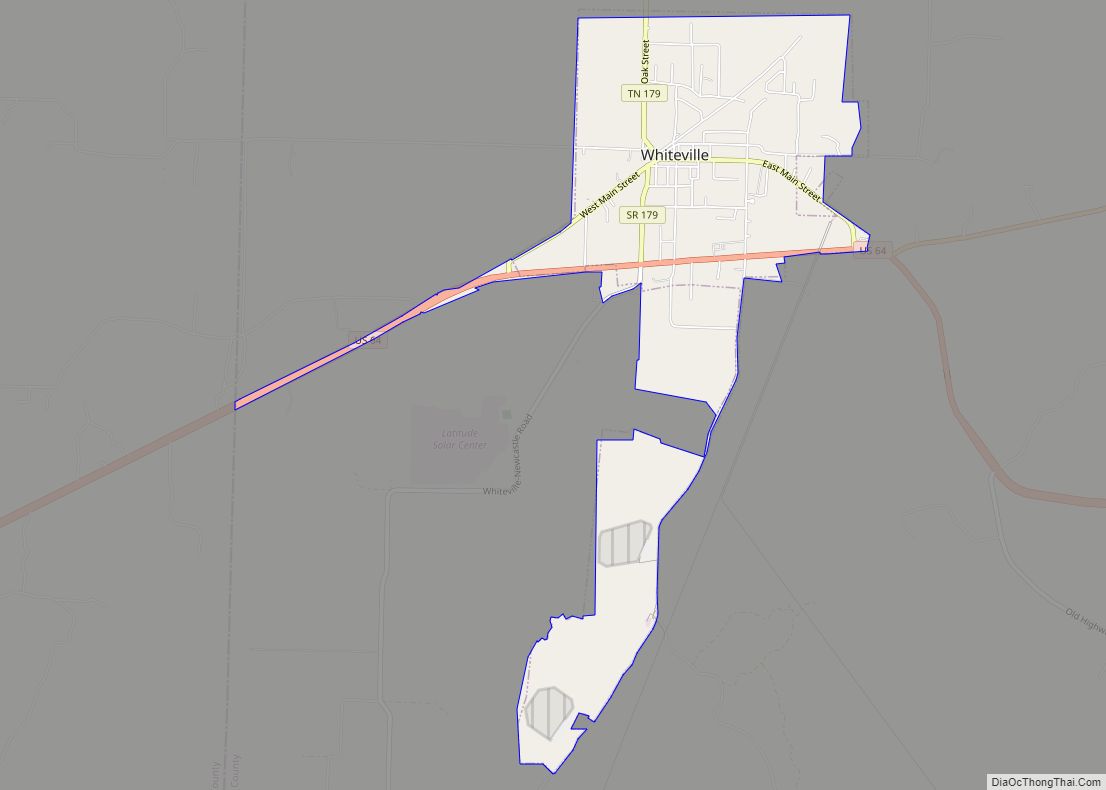
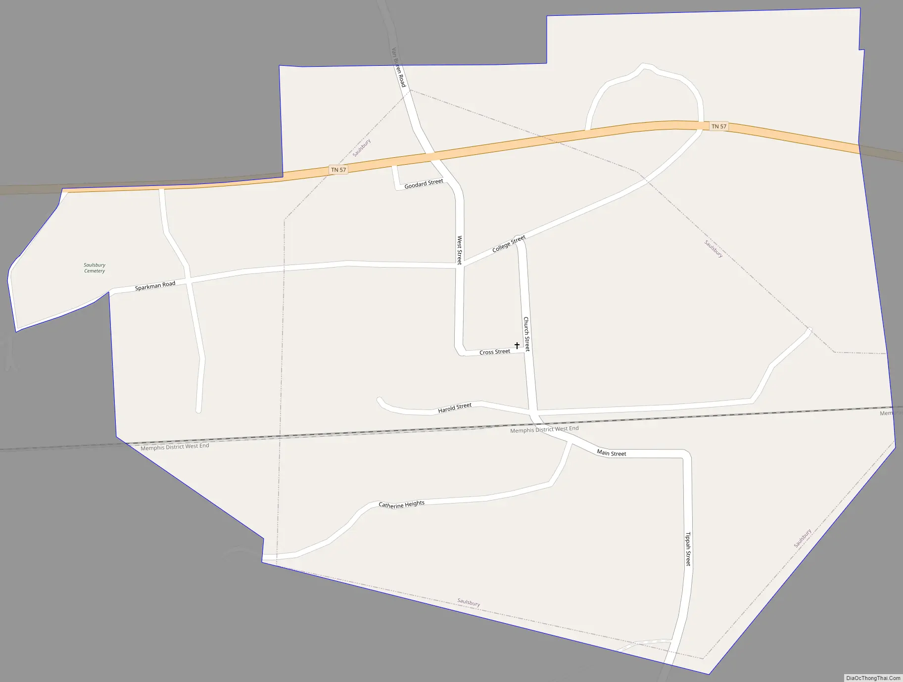
Saulsbury Road Map
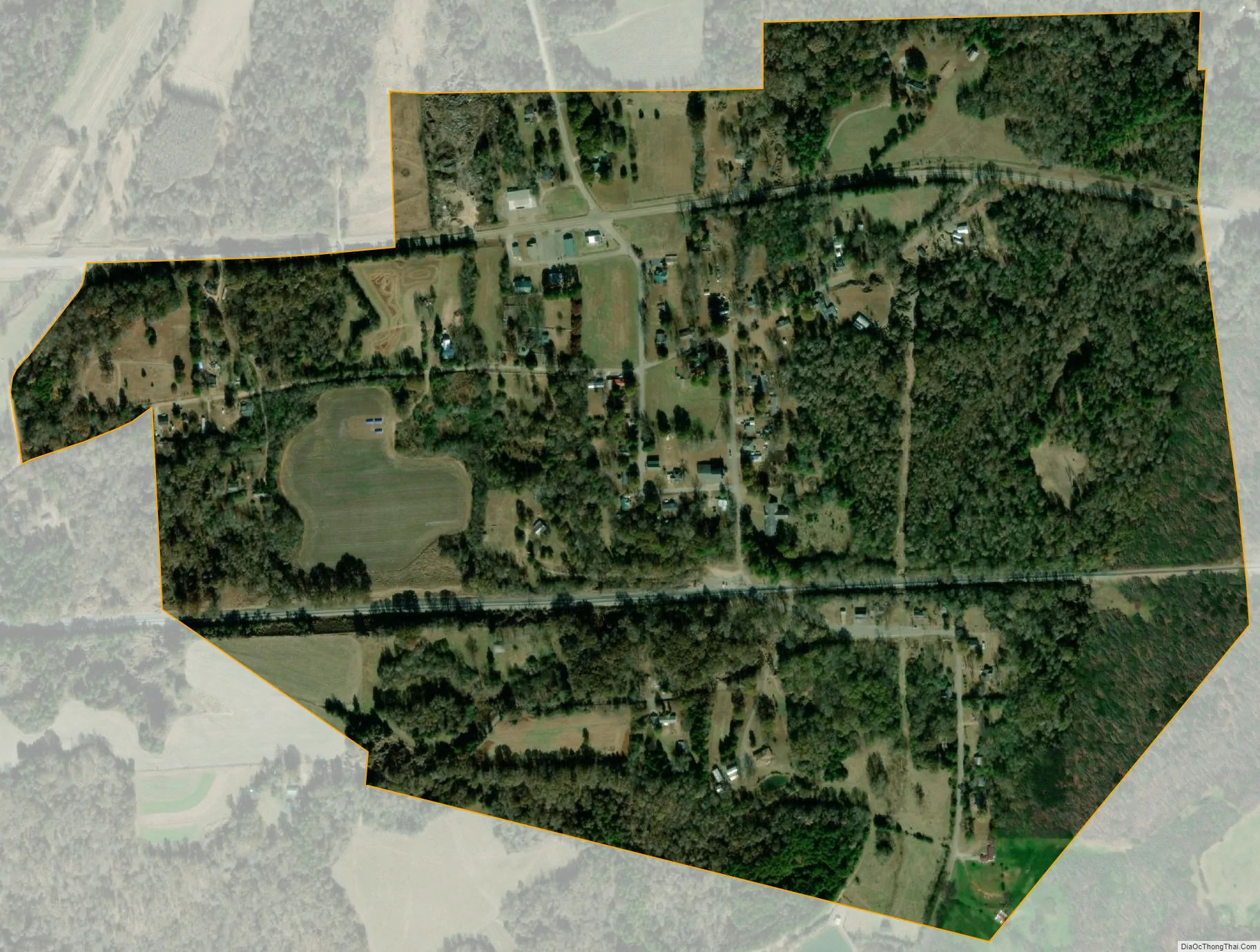
Saulsbury city Satellite Map
Geography
Saulsbury is located at 35°2′57″N 89°5′20″W / 35.04917°N 89.08889°W / 35.04917; -89.08889 (35.049276, -89.088858).
According to the United States Census Bureau, the town has a total area of 0.4 square miles (1.0 km), all land.
See also
Map of Tennessee State and its subdivision:- Anderson
- Bedford
- Benton
- Bledsoe
- Blount
- Bradley
- Campbell
- Cannon
- Carroll
- Carter
- Cheatham
- Chester
- Claiborne
- Clay
- Cocke
- Coffee
- Crockett
- Cumberland
- Davidson
- Decatur
- DeKalb
- Dickson
- Dyer
- Fayette
- Fentress
- Franklin
- Gibson
- Giles
- Grainger
- Greene
- Grundy
- Hamblen
- Hamilton
- Hancock
- Hardeman
- Hardin
- Hawkins
- Haywood
- Henderson
- Henry
- Hickman
- Houston
- Humphreys
- Jackson
- Jefferson
- Johnson
- Knox
- Lake
- Lauderdale
- Lawrence
- Lewis
- Lincoln
- Loudon
- Macon
- Madison
- Marion
- Marshall
- Maury
- McMinn
- McNairy
- Meigs
- Monroe
- Montgomery
- Moore
- Morgan
- Obion
- Overton
- Perry
- Pickett
- Polk
- Putnam
- Rhea
- Roane
- Robertson
- Rutherford
- Scott
- Sequatchie
- Sevier
- Shelby
- Smith
- Stewart
- Sullivan
- Sumner
- Tipton
- Trousdale
- Unicoi
- Union
- Van Buren
- Warren
- Washington
- Wayne
- Weakley
- White
- Williamson
- Wilson
- Alabama
- Alaska
- Arizona
- Arkansas
- California
- Colorado
- Connecticut
- Delaware
- District of Columbia
- Florida
- Georgia
- Hawaii
- Idaho
- Illinois
- Indiana
- Iowa
- Kansas
- Kentucky
- Louisiana
- Maine
- Maryland
- Massachusetts
- Michigan
- Minnesota
- Mississippi
- Missouri
- Montana
- Nebraska
- Nevada
- New Hampshire
- New Jersey
- New Mexico
- New York
- North Carolina
- North Dakota
- Ohio
- Oklahoma
- Oregon
- Pennsylvania
- Rhode Island
- South Carolina
- South Dakota
- Tennessee
- Texas
- Utah
- Vermont
- Virginia
- Washington
- West Virginia
- Wisconsin
- Wyoming