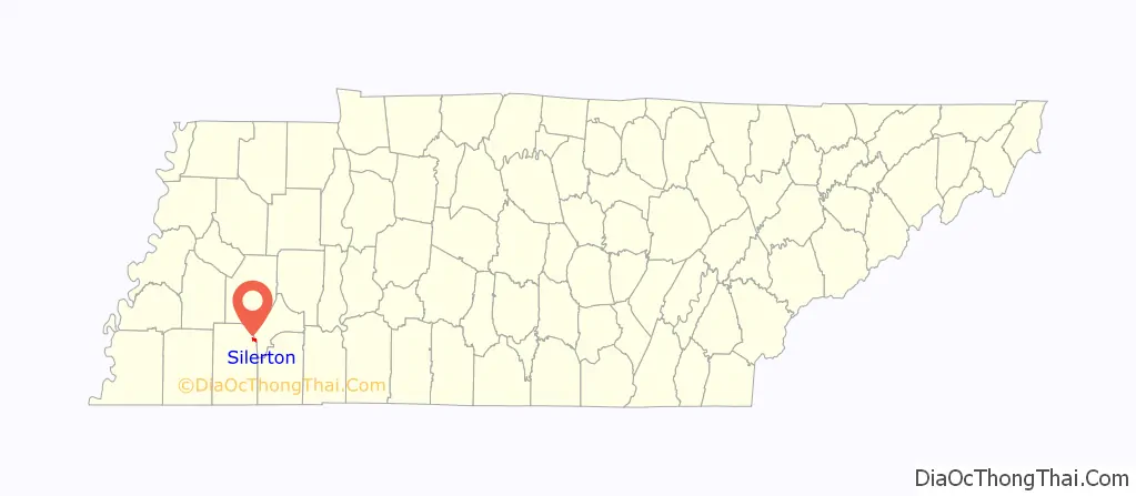
Silerton is a town in Hardeman and Chester counties in the western part of Tennessee. The population was 111 at the 2010 census.
| Name: | Silerton town |
|---|---|
| LSAD Code: | 43 |
| LSAD Description: | town (suffix) |
| State: | Tennessee |
| County: | Chester County, Hardeman County |
| Elevation: | 427 ft (137 m) |
| Total Area: | 0.67 sq mi (1.73 km²) |
| Land Area: | 0.67 sq mi (1.73 km²) |
| Water Area: | 0.00 sq mi (0.00 km²) |
| Total Population: | 97 |
| Population Density: | 145.21/sq mi (56.09/km²) |
| ZIP code: | 38377 |
| Area code: | 731 |
| FIPS code: | 4768560 |
| GNISfeature ID: | 1303620 |
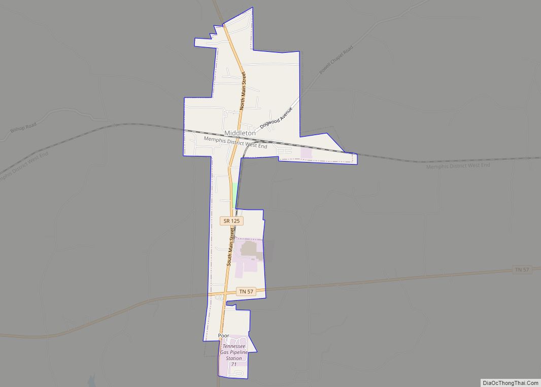
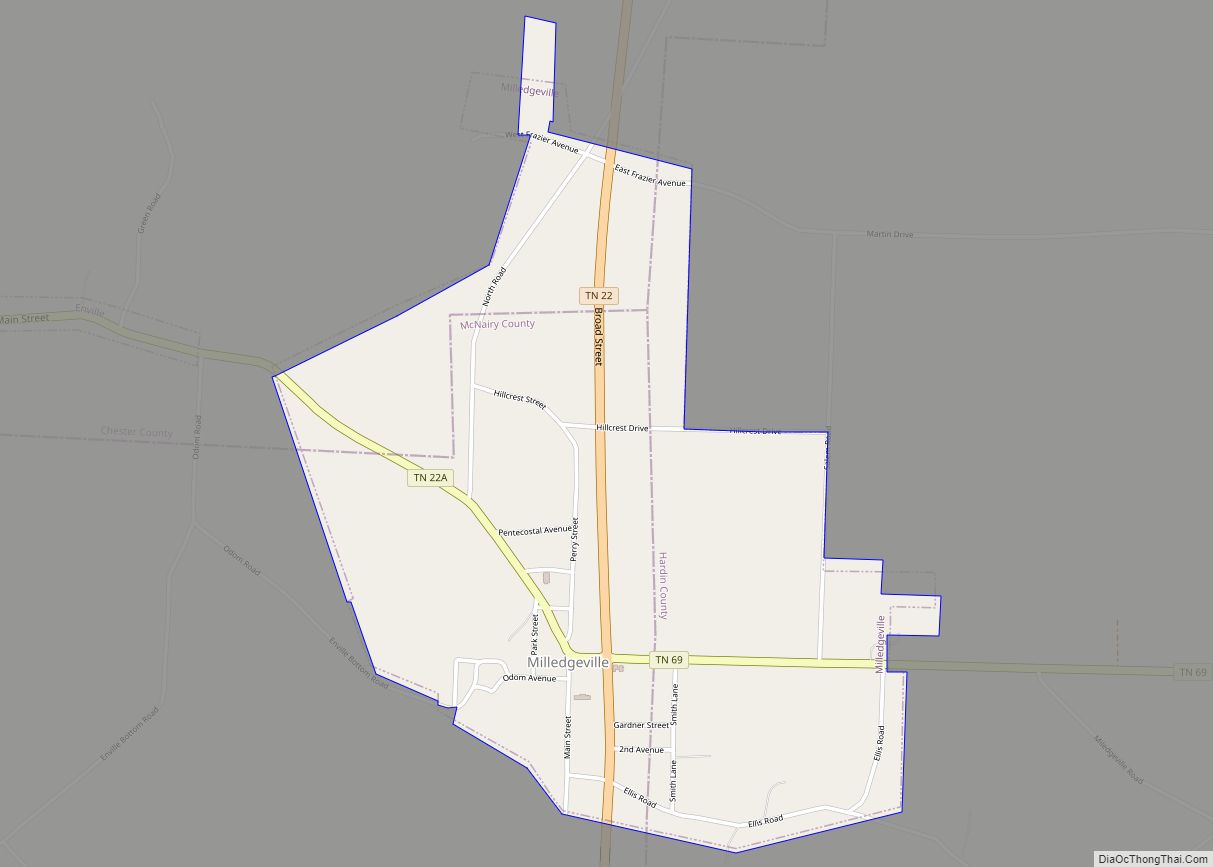
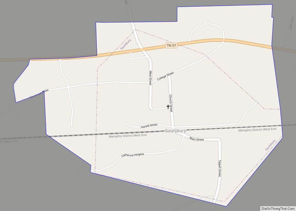
Online Interactive Map
Click on ![]() to view map in "full screen" mode.
to view map in "full screen" mode.
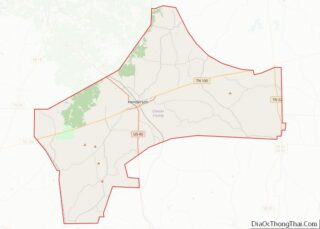
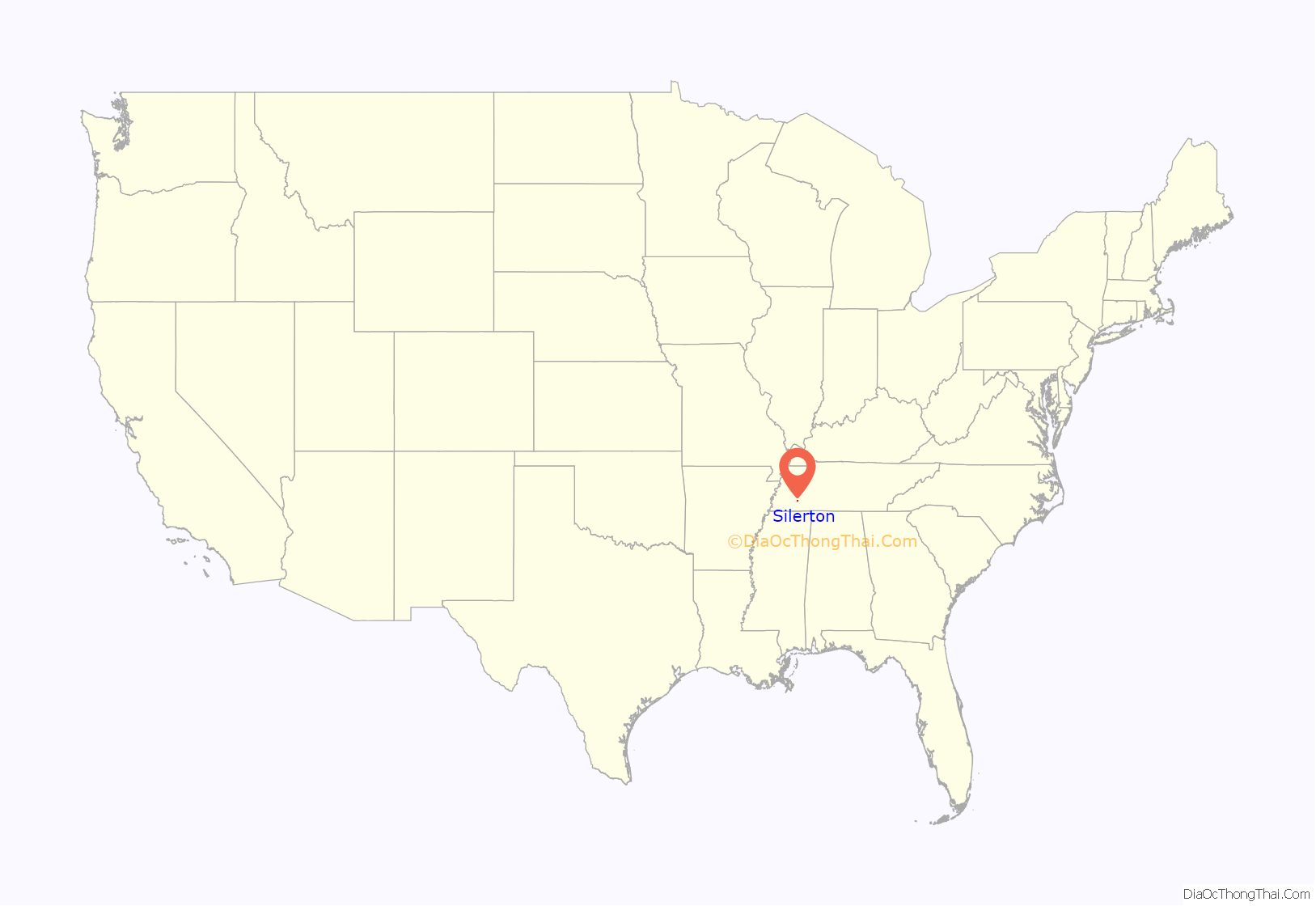
Silerton location map. Where is Silerton town?
History
In 1869 Jesse, Spencer, Horace and Jame Siler, sons of Solomon Siler, and John, Josiah, James and Edward Siler, the sons of James Siler, purchased the land after moving from Siler City, North Carolina. There they raised their families, many of whom are still related to Silerton residents today. With the arrival of the Gulf, Mobile and Northern Railroad in 1917, Silerton became a railroad town. The depot would be named after the Siler family, many of whom maintained important businesses in the area. Eventually the town’s name would be changed to “Silerton” to avoid confusion with the nearby town of Serles. The town would also grow into a venue for the timber trade. In 1923 Silerton was incorporated as a municipality by a private act of the state legislature.
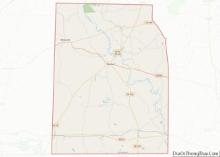
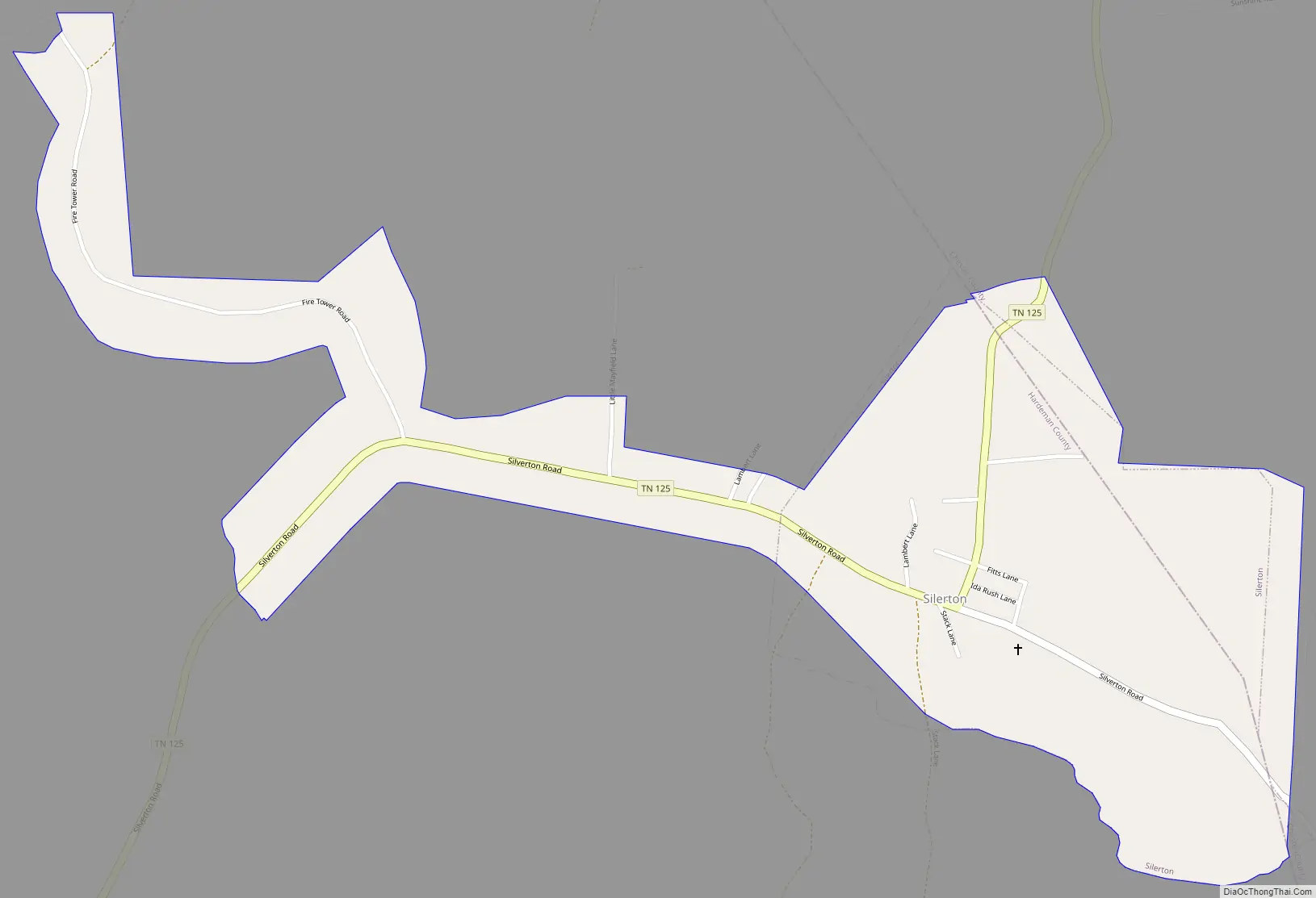
Silerton Road Map
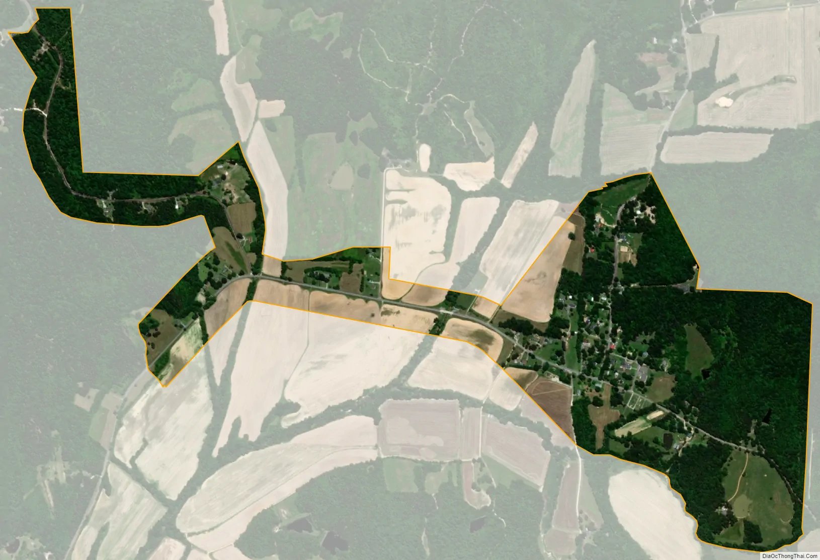
Silerton city Satellite Map
Geography
Silerton is located in northeastern Hardeman County at 35°20′24″N 88°48′7″W / 35.34000°N 88.80194°W / 35.34000; -88.80194 (35.339926, -88.801872). A small part of the town extends east into Chester County.
Tennessee State Route 125 passes through the town, leading southwest 14 miles (23 km) to Bolivar, the Hardeman County seat, and north 4 miles (6 km) to TN 100.
According to the United States Census Bureau, the town has a total area of 0.66 square miles (1.7 km), all land.
See also
Map of Tennessee State and its subdivision:- Anderson
- Bedford
- Benton
- Bledsoe
- Blount
- Bradley
- Campbell
- Cannon
- Carroll
- Carter
- Cheatham
- Chester
- Claiborne
- Clay
- Cocke
- Coffee
- Crockett
- Cumberland
- Davidson
- Decatur
- DeKalb
- Dickson
- Dyer
- Fayette
- Fentress
- Franklin
- Gibson
- Giles
- Grainger
- Greene
- Grundy
- Hamblen
- Hamilton
- Hancock
- Hardeman
- Hardin
- Hawkins
- Haywood
- Henderson
- Henry
- Hickman
- Houston
- Humphreys
- Jackson
- Jefferson
- Johnson
- Knox
- Lake
- Lauderdale
- Lawrence
- Lewis
- Lincoln
- Loudon
- Macon
- Madison
- Marion
- Marshall
- Maury
- McMinn
- McNairy
- Meigs
- Monroe
- Montgomery
- Moore
- Morgan
- Obion
- Overton
- Perry
- Pickett
- Polk
- Putnam
- Rhea
- Roane
- Robertson
- Rutherford
- Scott
- Sequatchie
- Sevier
- Shelby
- Smith
- Stewart
- Sullivan
- Sumner
- Tipton
- Trousdale
- Unicoi
- Union
- Van Buren
- Warren
- Washington
- Wayne
- Weakley
- White
- Williamson
- Wilson
- Alabama
- Alaska
- Arizona
- Arkansas
- California
- Colorado
- Connecticut
- Delaware
- District of Columbia
- Florida
- Georgia
- Hawaii
- Idaho
- Illinois
- Indiana
- Iowa
- Kansas
- Kentucky
- Louisiana
- Maine
- Maryland
- Massachusetts
- Michigan
- Minnesota
- Mississippi
- Missouri
- Montana
- Nebraska
- Nevada
- New Hampshire
- New Jersey
- New Mexico
- New York
- North Carolina
- North Dakota
- Ohio
- Oklahoma
- Oregon
- Pennsylvania
- Rhode Island
- South Carolina
- South Dakota
- Tennessee
- Texas
- Utah
- Vermont
- Virginia
- Washington
- West Virginia
- Wisconsin
- Wyoming