Saint Joseph (usually shortened to St. Joseph) is a city in Lawrence County, Tennessee, United States. The population was 782 at the 2010 census, down from 829 in 2000.
| Name: | St. Joseph city |
|---|---|
| LSAD Code: | 25 |
| LSAD Description: | city (suffix) |
| State: | Tennessee |
| County: | Lawrence County |
| Elevation: | 794 ft (242 m) |
| Total Area: | 3.77 sq mi (9.75 km²) |
| Land Area: | 3.77 sq mi (9.75 km²) |
| Water Area: | 0.00 sq mi (0.00 km²) |
| Total Population: | 790 |
| Population Density: | 209.77/sq mi (80.99/km²) |
| ZIP code: | 38481 |
| Area code: | 931 |
| FIPS code: | 4766160 |
| GNISfeature ID: | 1300456 |
Online Interactive Map
Click on ![]() to view map in "full screen" mode.
to view map in "full screen" mode.
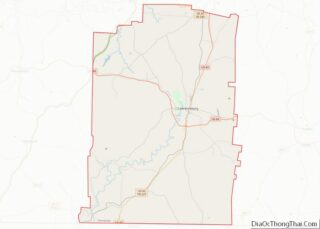
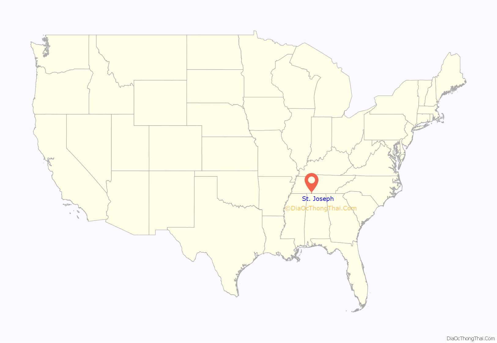
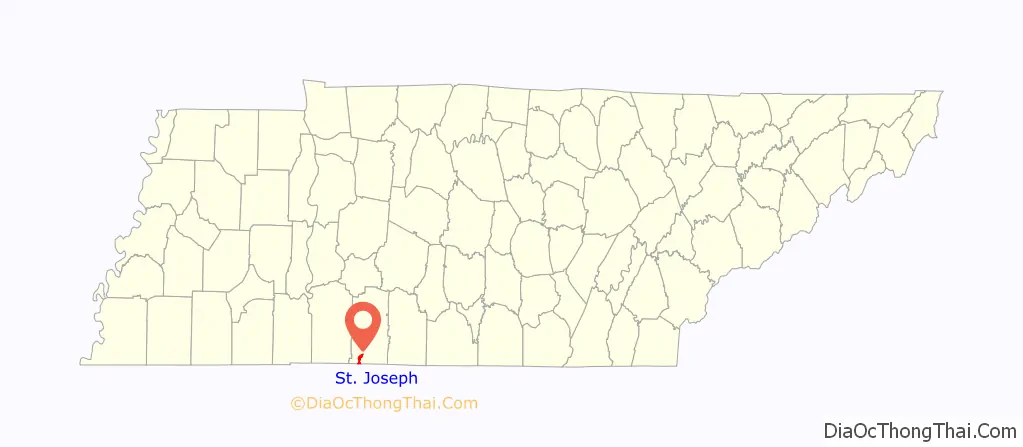
St. Joseph location map. Where is St. Joseph city?
History
The St. Joseph area was settled by German Catholic immigrants in the early 1870s. These settlers established St. Joseph Catholic Church, which is still home to a Catholic parish. By the late 1880s, St. Joseph had about twenty-five houses, a school, and a store.
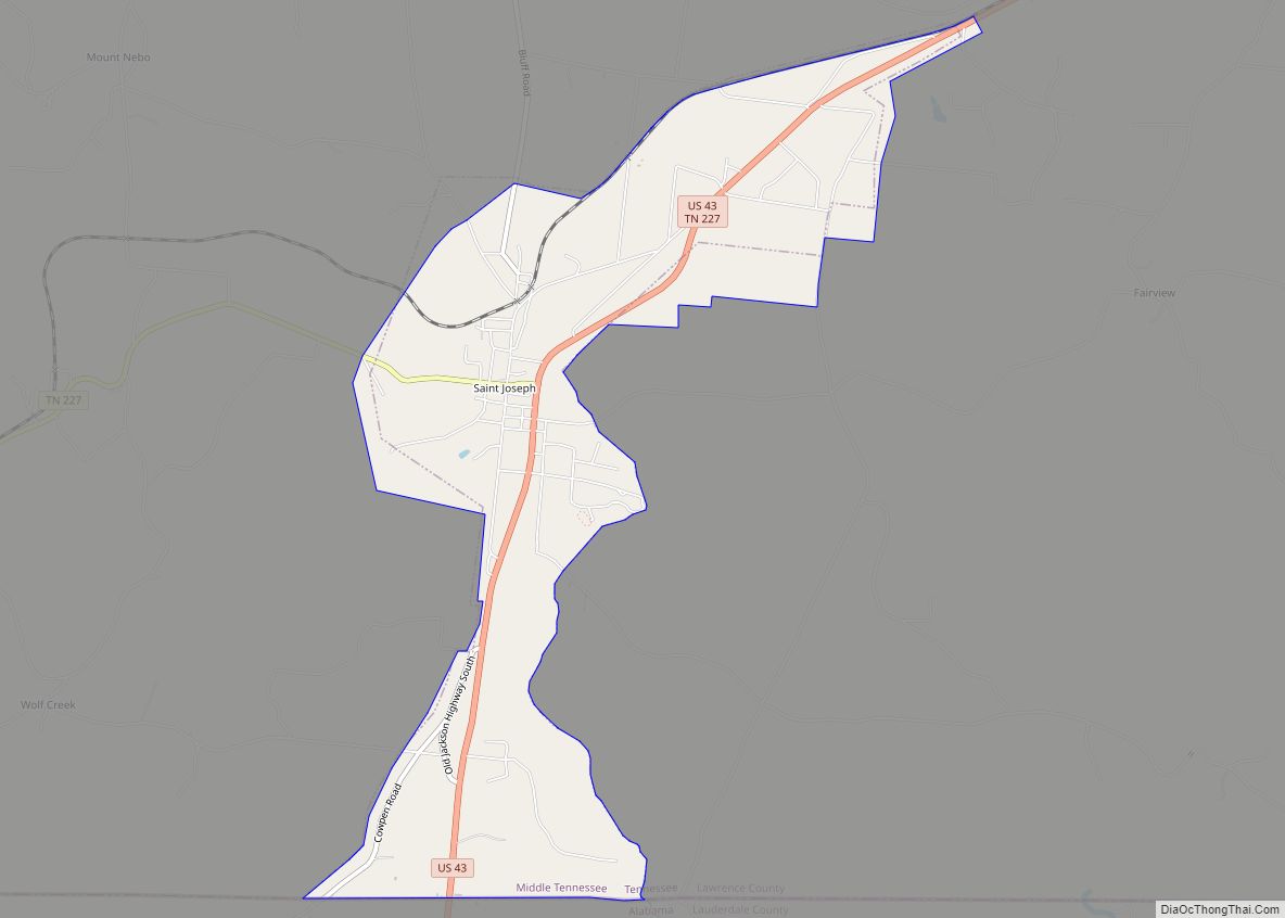
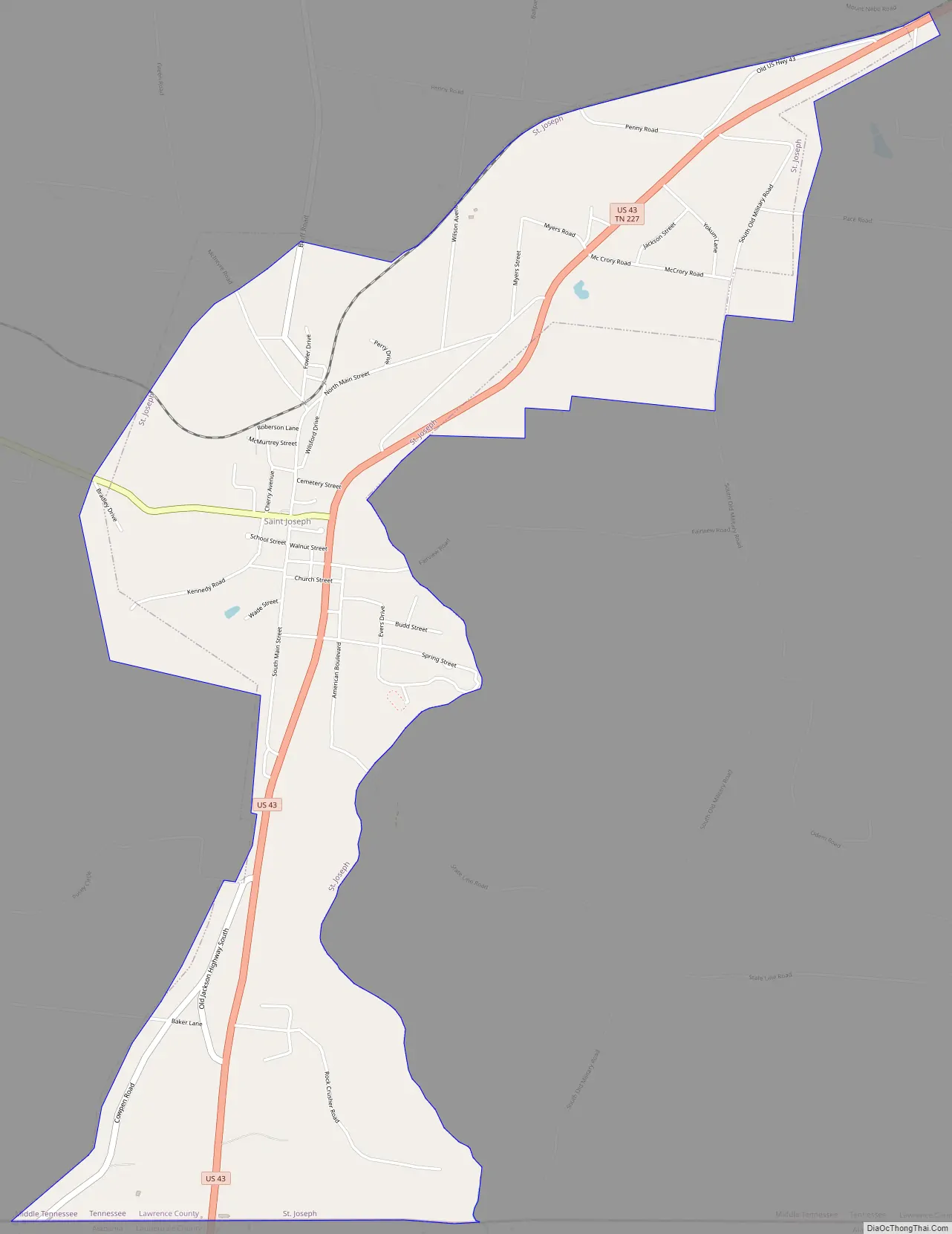
St. Joseph Road Map
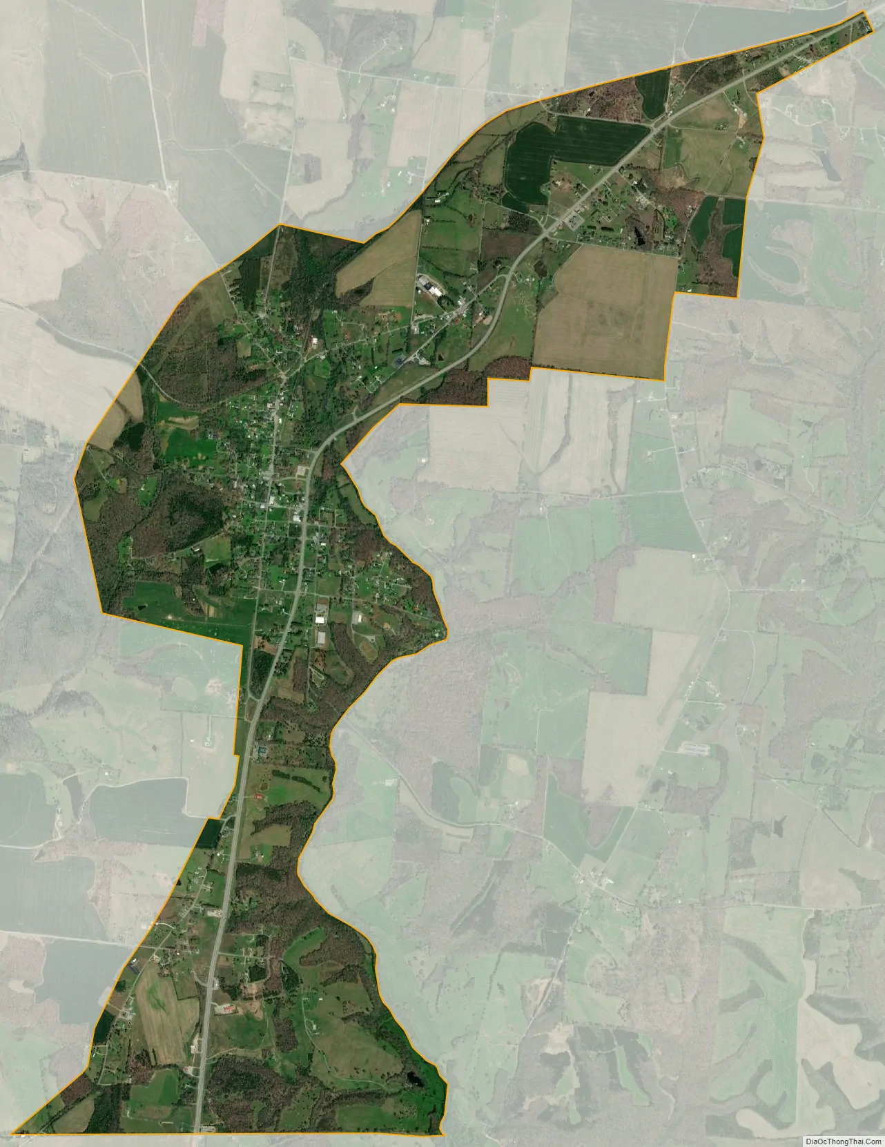
St. Joseph city Satellite Map
Geography
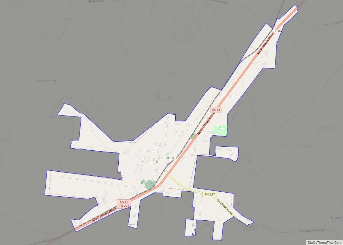
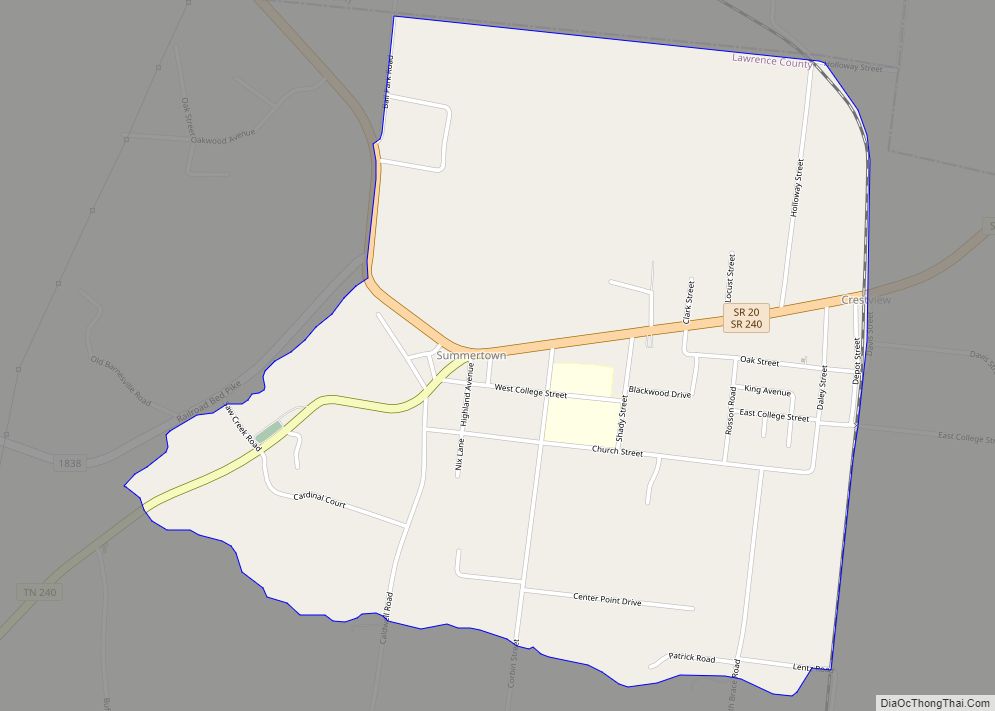
St. Joseph is located at 35°2′6″N 87°30′8″W / 35.03500°N 87.50222°W / 35.03500; -87.50222 (35.034920, -87.502158). The city is situated on a relatively broad ridge between the Shoal Creek Valley to the west and the Bluewater Creek Valley to the east. Little Bluewater Creek, a tributary of the latter, flows through St. Joseph. The city’s boundaries stretch northeastward to the outskirts of Loretto and southward to the Tennessee-Alabama state line.
U.S. Route 43 traverses St. Joseph, connecting the city to Lawrenceburg to the northeast and the Muscle Shoals area to the south. Tennessee State Route 227 connects St. Joseph with Iron City in the Shoal Creek Valley to the west.
According to the United States Census Bureau, the city has a total area of 3.6 square miles (9.3 km), all land.
See also
Map of Tennessee State and its subdivision:- Anderson
- Bedford
- Benton
- Bledsoe
- Blount
- Bradley
- Campbell
- Cannon
- Carroll
- Carter
- Cheatham
- Chester
- Claiborne
- Clay
- Cocke
- Coffee
- Crockett
- Cumberland
- Davidson
- Decatur
- DeKalb
- Dickson
- Dyer
- Fayette
- Fentress
- Franklin
- Gibson
- Giles
- Grainger
- Greene
- Grundy
- Hamblen
- Hamilton
- Hancock
- Hardeman
- Hardin
- Hawkins
- Haywood
- Henderson
- Henry
- Hickman
- Houston
- Humphreys
- Jackson
- Jefferson
- Johnson
- Knox
- Lake
- Lauderdale
- Lawrence
- Lewis
- Lincoln
- Loudon
- Macon
- Madison
- Marion
- Marshall
- Maury
- McMinn
- McNairy
- Meigs
- Monroe
- Montgomery
- Moore
- Morgan
- Obion
- Overton
- Perry
- Pickett
- Polk
- Putnam
- Rhea
- Roane
- Robertson
- Rutherford
- Scott
- Sequatchie
- Sevier
- Shelby
- Smith
- Stewart
- Sullivan
- Sumner
- Tipton
- Trousdale
- Unicoi
- Union
- Van Buren
- Warren
- Washington
- Wayne
- Weakley
- White
- Williamson
- Wilson
- Alabama
- Alaska
- Arizona
- Arkansas
- California
- Colorado
- Connecticut
- Delaware
- District of Columbia
- Florida
- Georgia
- Hawaii
- Idaho
- Illinois
- Indiana
- Iowa
- Kansas
- Kentucky
- Louisiana
- Maine
- Maryland
- Massachusetts
- Michigan
- Minnesota
- Mississippi
- Missouri
- Montana
- Nebraska
- Nevada
- New Hampshire
- New Jersey
- New Mexico
- New York
- North Carolina
- North Dakota
- Ohio
- Oklahoma
- Oregon
- Pennsylvania
- Rhode Island
- South Carolina
- South Dakota
- Tennessee
- Texas
- Utah
- Vermont
- Virginia
- Washington
- West Virginia
- Wisconsin
- Wyoming