Thompson’s Station is a town in Williamson County, Tennessee. The population has grown from 2,194 at the 2010 Census to 7,485 in the 2020 Census. Several locations in Thompson’s Station listed on the U.S. National Register of Historic Places include the Jacob Critz House and the Thomas L. Critz House, Thompson’s Station Bank, John Neely House, James P. Johnson House, Homestead Manor and James Giddens House.
| Name: | Thompson’s Station town |
|---|---|
| LSAD Code: | 43 |
| LSAD Description: | town (suffix) |
| State: | Tennessee |
| County: | Williamson County |
| Incorporated: | 1990 |
| Elevation: | 801 ft (244 m) |
| Total Area: | 22.81 sq mi (59.06 km²) |
| Land Area: | 22.79 sq mi (59.03 km²) |
| Water Area: | 0.01 sq mi (0.03 km²) |
| Total Population: | 7,485 |
| Population Density: | 328.40/sq mi (126.80/km²) |
| ZIP code: | 37179 |
| Area code: | 615 |
| FIPS code: | 4773900 |
| GNISfeature ID: | 1652469 |
| Website: | thompsons-station.com |
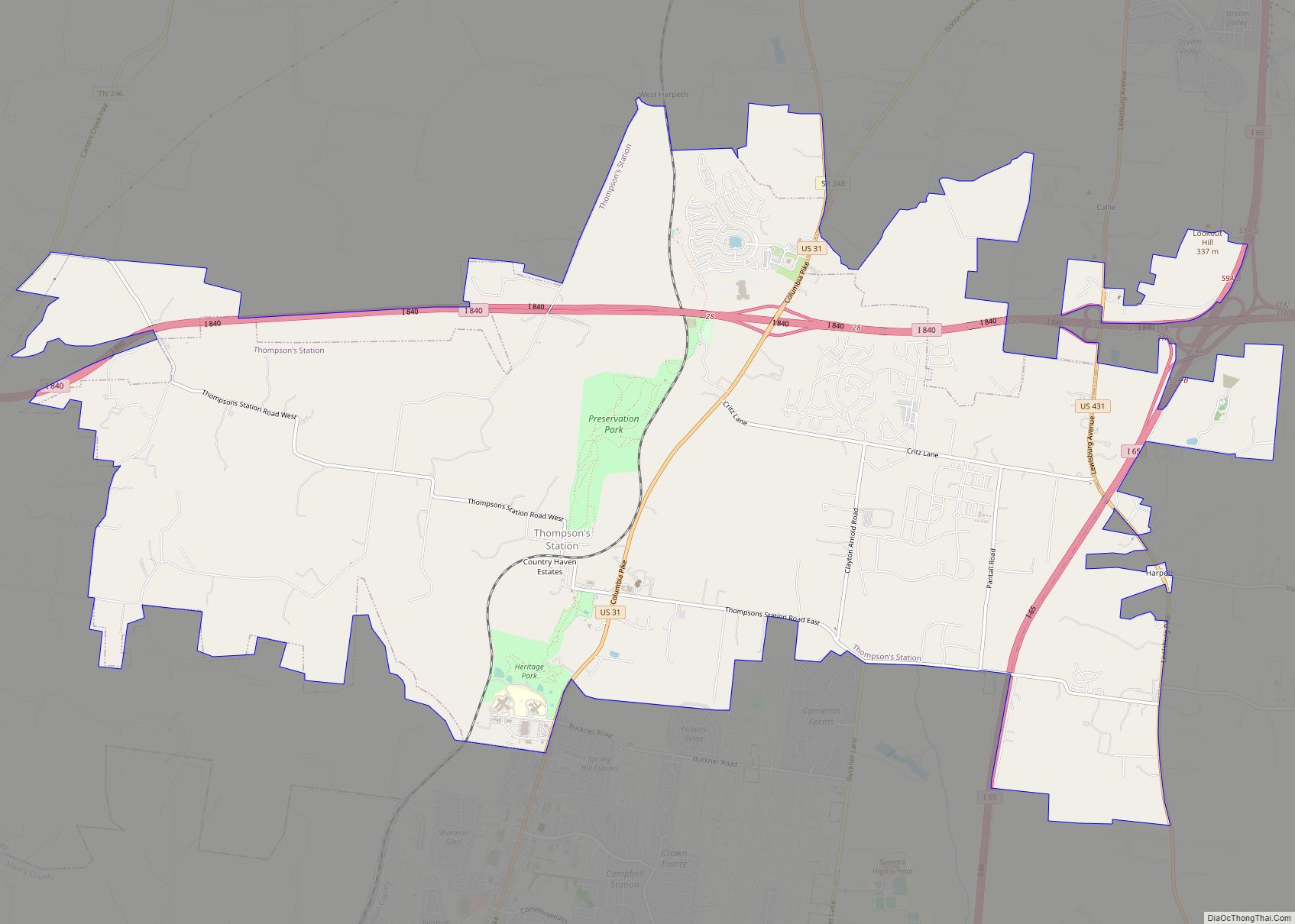
Online Interactive Map
Click on ![]() to view map in "full screen" mode.
to view map in "full screen" mode.
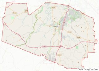
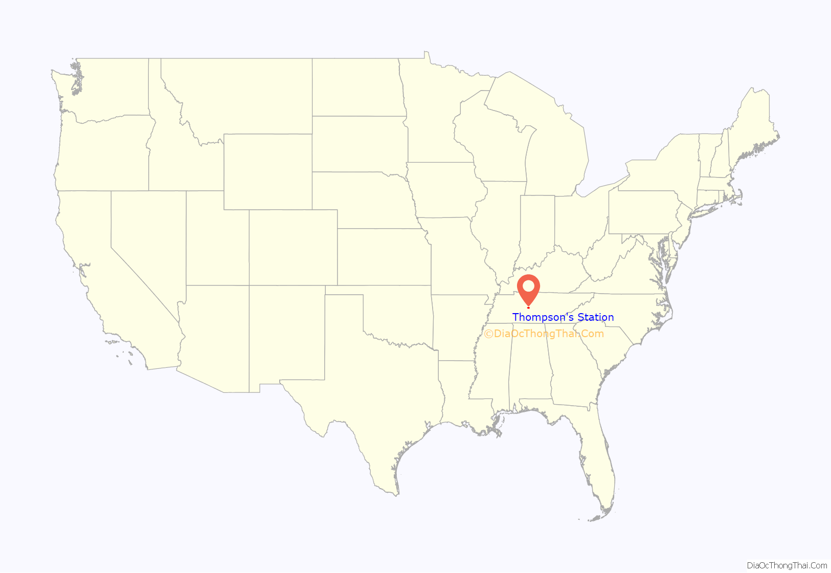
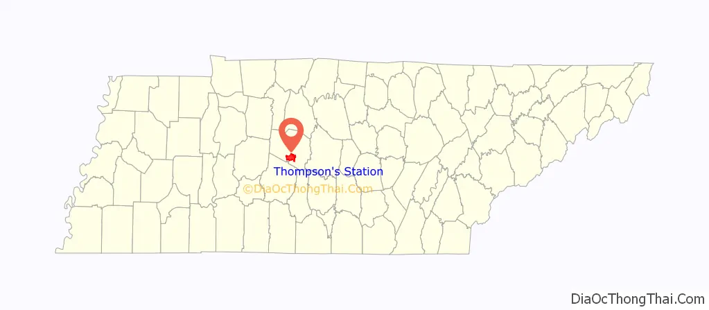
Thompson’s Station location map. Where is Thompson’s Station town?
History
The first settlers arrived in what is now Thompson’s Station in the late 18th century. The community was originally known as “White House,” but changed its name to “Littlebury” in 1836. After the arrival of the railroad in 1855, Dr. Elijah Thompson donated land for a town and train station, and the community was renamed for him.
On March 5, 1863, during the Civil War, the Battle of Thompson’s Station was fought, with Confederate forces led by General Earl Van Dorn defeating Union forces under Colonel John Coburn.
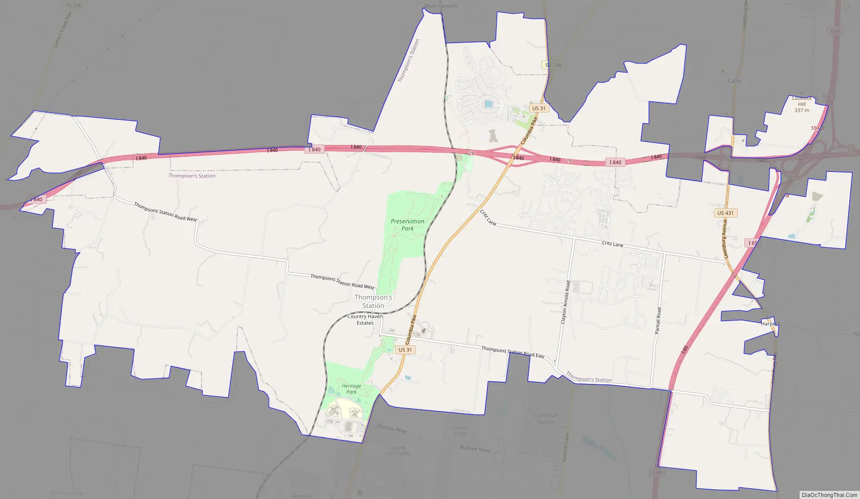
Thompson’s Station Road Map
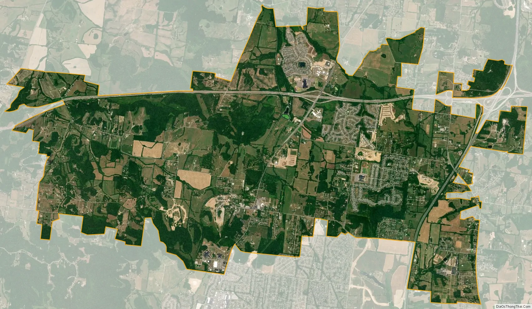
Thompson’s Station city Satellite Map
Geography
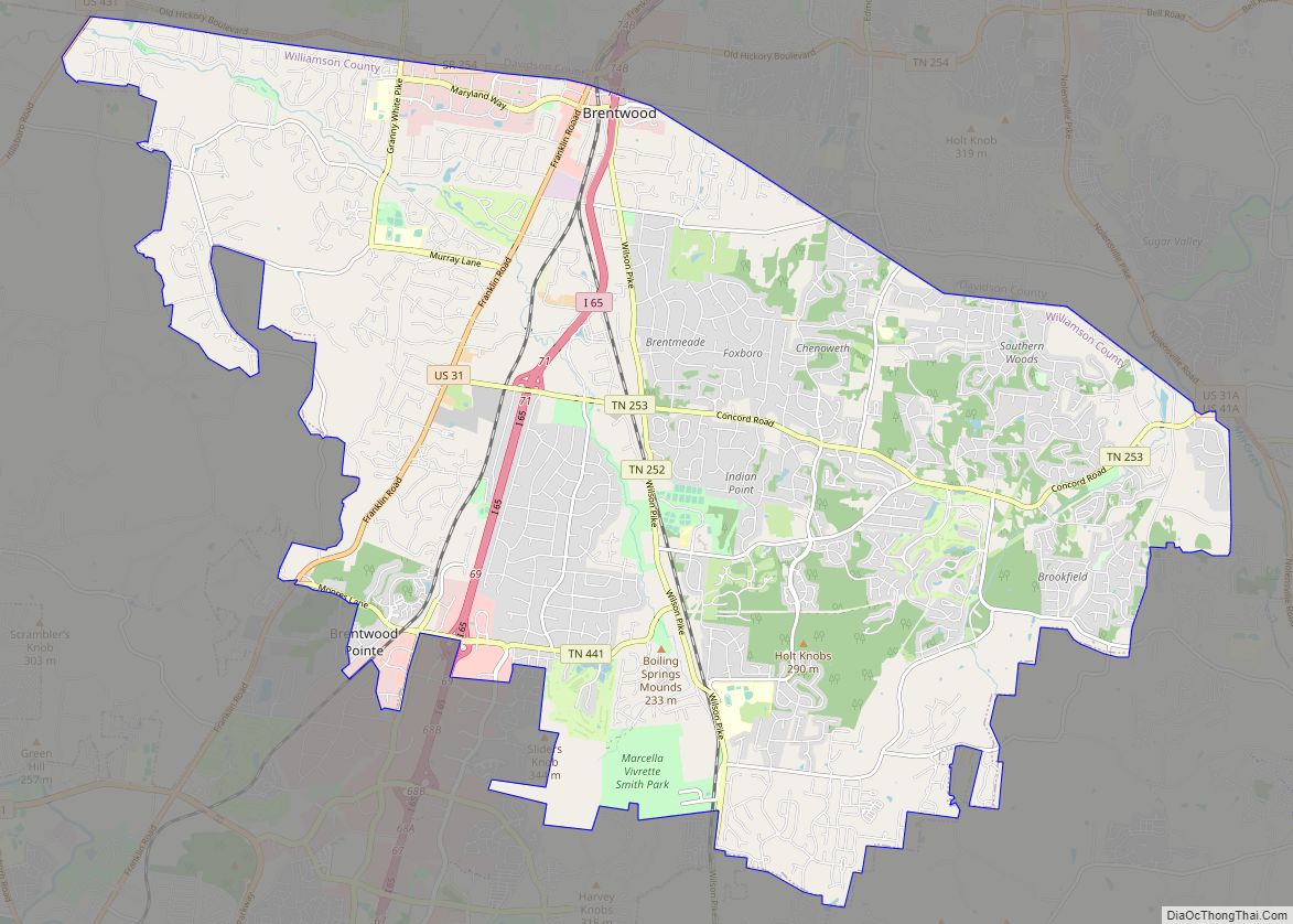
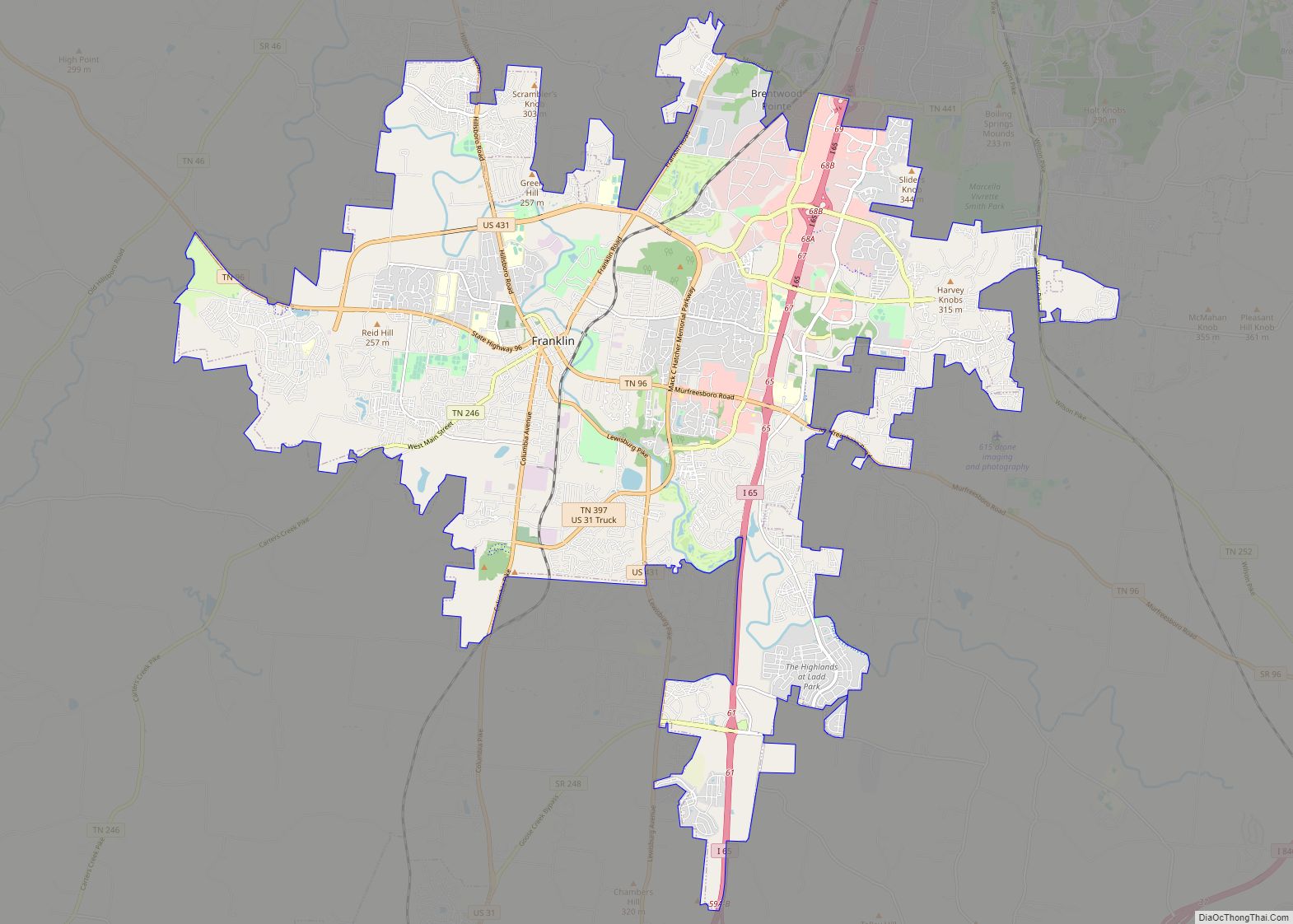
Thompson’s Station is located at 35°47′55″N 86°54′26″W / 35.79861°N 86.90722°W / 35.79861; -86.90722 (35.798670, -86.907341). It is approximately 25 miles south of Nashville, just south of Franklin, and just north of Spring Hill.
The Town includes several parks that encompass over 200 acres:
- Sarah Benson Park (Formerly Thompson’s Station Park)
- Preservation Park
- Nutro Dog Park
- Heritage Park
According to the United States Census Bureau, the town has a total area of 21.6 square miles (56 km).
See also
Map of Tennessee State and its subdivision:- Anderson
- Bedford
- Benton
- Bledsoe
- Blount
- Bradley
- Campbell
- Cannon
- Carroll
- Carter
- Cheatham
- Chester
- Claiborne
- Clay
- Cocke
- Coffee
- Crockett
- Cumberland
- Davidson
- Decatur
- DeKalb
- Dickson
- Dyer
- Fayette
- Fentress
- Franklin
- Gibson
- Giles
- Grainger
- Greene
- Grundy
- Hamblen
- Hamilton
- Hancock
- Hardeman
- Hardin
- Hawkins
- Haywood
- Henderson
- Henry
- Hickman
- Houston
- Humphreys
- Jackson
- Jefferson
- Johnson
- Knox
- Lake
- Lauderdale
- Lawrence
- Lewis
- Lincoln
- Loudon
- Macon
- Madison
- Marion
- Marshall
- Maury
- McMinn
- McNairy
- Meigs
- Monroe
- Montgomery
- Moore
- Morgan
- Obion
- Overton
- Perry
- Pickett
- Polk
- Putnam
- Rhea
- Roane
- Robertson
- Rutherford
- Scott
- Sequatchie
- Sevier
- Shelby
- Smith
- Stewart
- Sullivan
- Sumner
- Tipton
- Trousdale
- Unicoi
- Union
- Van Buren
- Warren
- Washington
- Wayne
- Weakley
- White
- Williamson
- Wilson
- Alabama
- Alaska
- Arizona
- Arkansas
- California
- Colorado
- Connecticut
- Delaware
- District of Columbia
- Florida
- Georgia
- Hawaii
- Idaho
- Illinois
- Indiana
- Iowa
- Kansas
- Kentucky
- Louisiana
- Maine
- Maryland
- Massachusetts
- Michigan
- Minnesota
- Mississippi
- Missouri
- Montana
- Nebraska
- Nevada
- New Hampshire
- New Jersey
- New Mexico
- New York
- North Carolina
- North Dakota
- Ohio
- Oklahoma
- Oregon
- Pennsylvania
- Rhode Island
- South Carolina
- South Dakota
- Tennessee
- Texas
- Utah
- Vermont
- Virginia
- Washington
- West Virginia
- Wisconsin
- Wyoming