Jefferson City (originally named Mossy Creek) is a city in Jefferson County, Tennessee, United States. It is part of the Morristown Metropolitan Statistical Area. As of the 2020 census the population was 8,419.
| Name: | Jefferson City city |
|---|---|
| LSAD Code: | 25 |
| LSAD Description: | city (suffix) |
| State: | Tennessee |
| County: | Jefferson County |
| Incorporated: | 1901 |
| Elevation: | 1,161 ft (354 m) |
| Total Area: | 7.02 sq mi (18.18 km²) |
| Land Area: | 6.98 sq mi (18.07 km²) |
| Water Area: | 0.04 sq mi (0.11 km²) |
| Total Population: | 8,419 |
| Population Density: | 1,206.85/sq mi (465.99/km²) |
| ZIP code: | 37760 |
| Area code: | 865 |
| FIPS code: | 4737960 |
| GNISfeature ID: | 2404796 |
| Website: | www.jeffcitytn.com |
Online Interactive Map
Click on ![]() to view map in "full screen" mode.
to view map in "full screen" mode.
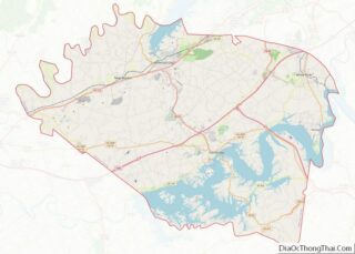
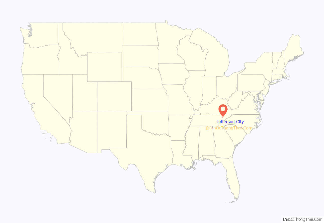
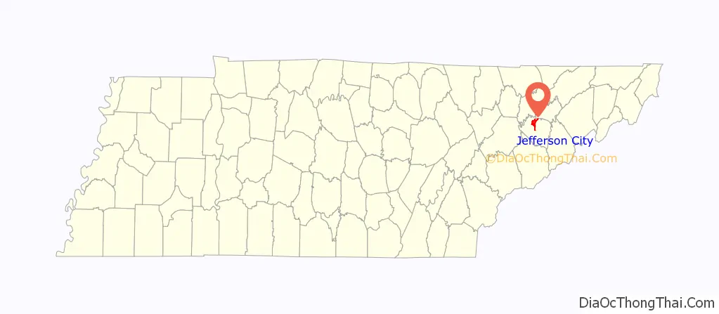
Jefferson City location map. Where is Jefferson City city?
History
Heading southwest along the Holston River from Virginia, Adam and Elizabeth Peck arrived on the banks of Mossy Creek in 1788, soon settling the area with a fort, a house of worship, and a gristmill. It is suggested that the original name of the city, Mossy Creek, originated due to the first settlers’ description of the ‘vivid’ green moss developed around a creek near the settlement. By 1797, Mossy Creek had around 75 to 100 families with a four-mile-radius of the city.
Around the beginnings of the American Civil War in September 1861, Union Army General Ambrose Burnside liberated the city from the Confederacy, but was attacked in an unsuccessful siege by Confederate General James Longstreet. Several skirmishes took place around Mossy Creek, most notably the Battle of Mossy Creek on December 19, 1863.
In the later 19th century, two communities formed around Mossy Creek, Frame Addition and Carsonville. In 1901, Mossy Creek merged with the two communities, incorporating as Jefferson City.
In 1940, the Tennessee Valley Authority (TVA) began purchasing property in Jefferson City for the construction of Cherokee Dam and the impounding of the Holston River for Cherokee Lake. Many residents reluctantly gave up their farms and homes for the promise of flood control and electricity offered by the TVA. Construction brought many new residents to the city, and Cherokee Lake made Jefferson City a popular recreational hub for locals and tourists alike.
In the late 20th century, Jefferson City became industrialized with the zinc mining industry after geologists discovered valuable zinc ore deposits around the city earlier in the century.
Since 2010, redevelopment and revitalization efforts have been underway in the downtown district of Jefferson City. The Mossy Creek Foundation, a 501(c)(3) organization, was established in 2012 to advance these efforts, receiving funding a for a public park with a mock train depot pavilion on the original site of the Mossy Creek station, and facade grants for existing structures downtown.
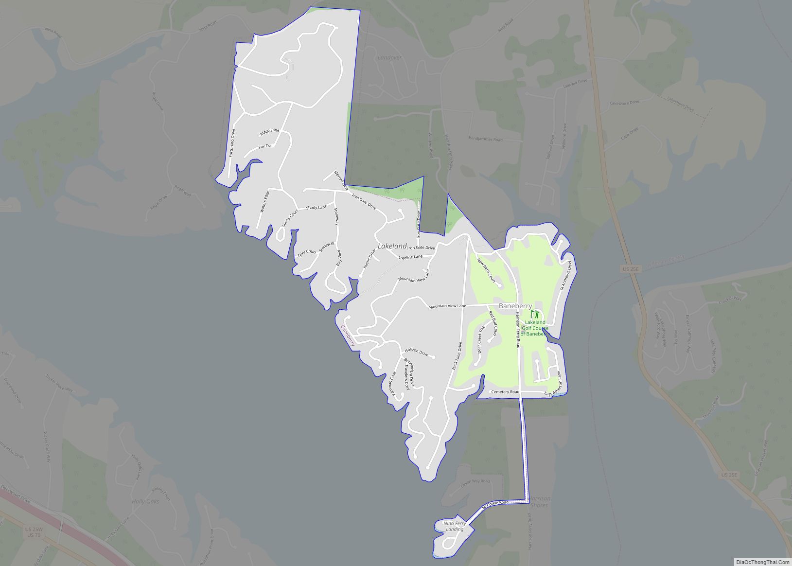
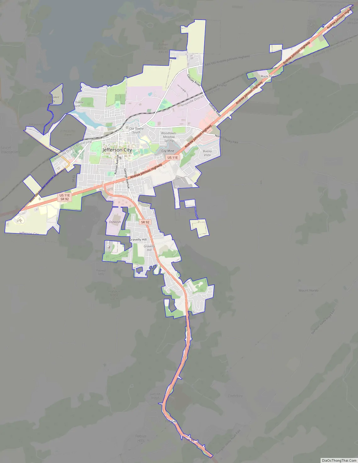
Jefferson City Road Map
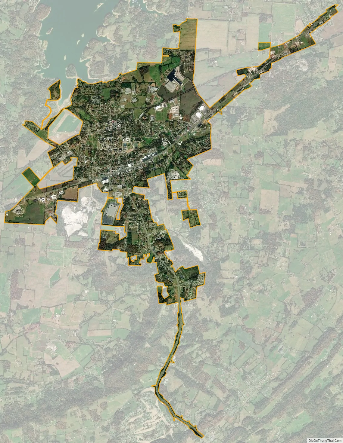
Jefferson City city Satellite Map
Geography
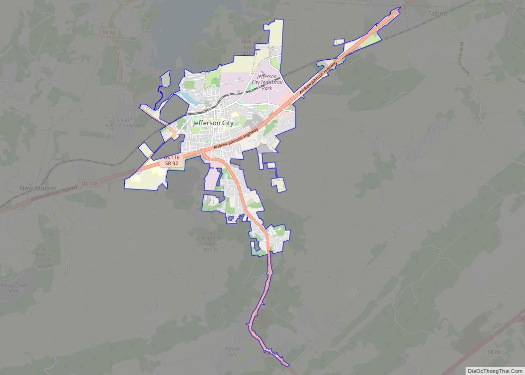
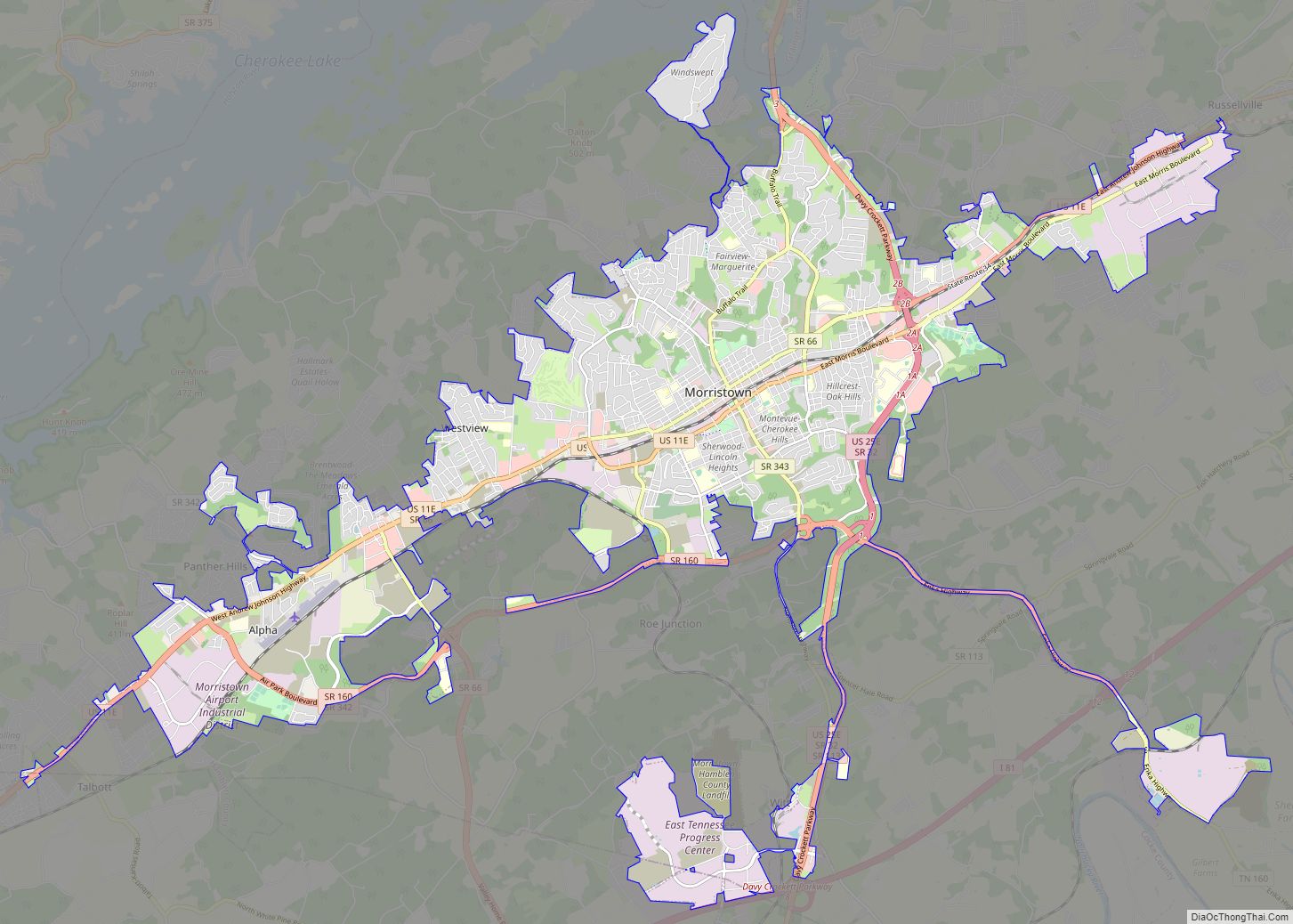
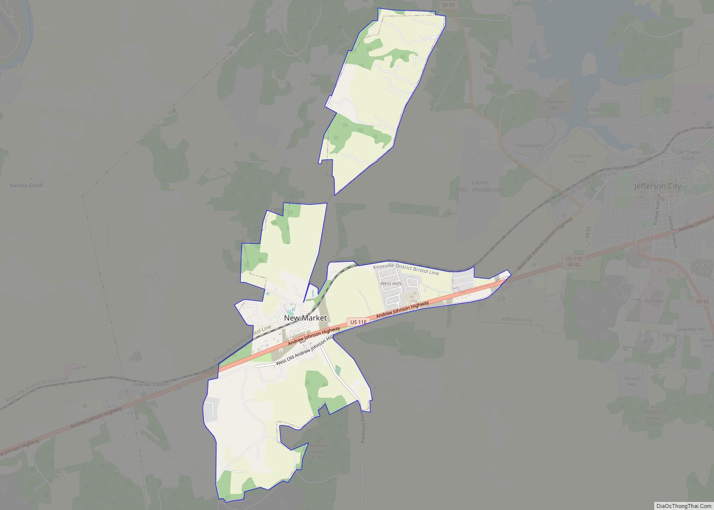
Jefferson City is located in northern Jefferson County at 36°6′59″N 83°29′11″W / 36.11639°N 83.48639°W / 36.11639; -83.48639 (36.116389, -83.486500). It is bordered to the west by New Market, to the south by Dandridge, and to the northeast by Morristown.
U.S. Route 11E, the Andrew Johnson Highway, passes through the south side of the city. It leads northeast 13 miles (21 km) to the center of Morristown and west 3 miles (5 km) to New Market. Knoxville is 28 miles (45 km) to the southwest via Route 11E. Tennessee State Route 92 passes through the west side of Jefferson City, leading north 14 miles (23 km) to Rutledge and south 9 miles (14 km) to the center of Dandridge.
According to the United States Census Bureau, Jefferson City has a total area of 6.4 square miles (16.6 km), of which 6.4 square miles (16.5 km) are land and 0.04 square miles (0.1 km), or 0.72%, are water. The northwest boundary of the city touches the southernmost arm of Cherokee Lake, a reservoir on the Holston River.
Climate
See also
Map of Tennessee State and its subdivision:- Anderson
- Bedford
- Benton
- Bledsoe
- Blount
- Bradley
- Campbell
- Cannon
- Carroll
- Carter
- Cheatham
- Chester
- Claiborne
- Clay
- Cocke
- Coffee
- Crockett
- Cumberland
- Davidson
- Decatur
- DeKalb
- Dickson
- Dyer
- Fayette
- Fentress
- Franklin
- Gibson
- Giles
- Grainger
- Greene
- Grundy
- Hamblen
- Hamilton
- Hancock
- Hardeman
- Hardin
- Hawkins
- Haywood
- Henderson
- Henry
- Hickman
- Houston
- Humphreys
- Jackson
- Jefferson
- Johnson
- Knox
- Lake
- Lauderdale
- Lawrence
- Lewis
- Lincoln
- Loudon
- Macon
- Madison
- Marion
- Marshall
- Maury
- McMinn
- McNairy
- Meigs
- Monroe
- Montgomery
- Moore
- Morgan
- Obion
- Overton
- Perry
- Pickett
- Polk
- Putnam
- Rhea
- Roane
- Robertson
- Rutherford
- Scott
- Sequatchie
- Sevier
- Shelby
- Smith
- Stewart
- Sullivan
- Sumner
- Tipton
- Trousdale
- Unicoi
- Union
- Van Buren
- Warren
- Washington
- Wayne
- Weakley
- White
- Williamson
- Wilson
- Alabama
- Alaska
- Arizona
- Arkansas
- California
- Colorado
- Connecticut
- Delaware
- District of Columbia
- Florida
- Georgia
- Hawaii
- Idaho
- Illinois
- Indiana
- Iowa
- Kansas
- Kentucky
- Louisiana
- Maine
- Maryland
- Massachusetts
- Michigan
- Minnesota
- Mississippi
- Missouri
- Montana
- Nebraska
- Nevada
- New Hampshire
- New Jersey
- New Mexico
- New York
- North Carolina
- North Dakota
- Ohio
- Oklahoma
- Oregon
- Pennsylvania
- Rhode Island
- South Carolina
- South Dakota
- Tennessee
- Texas
- Utah
- Vermont
- Virginia
- Washington
- West Virginia
- Wisconsin
- Wyoming