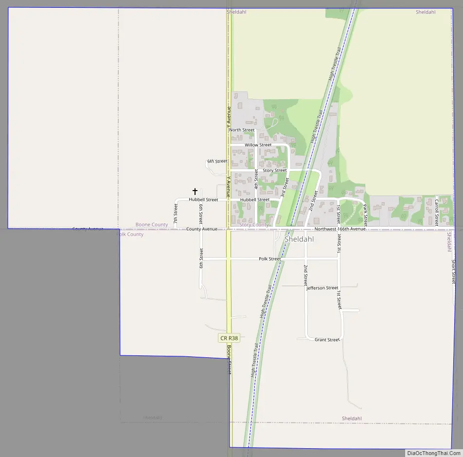
Sheldahl is a city in Polk, Boone, and Story counties in the U.S. state of Iowa. The population was 297 at the time of the 2020 census.
The Boone County portion of Sheldahl is part of the Boone Micropolitan Statistical Area, while the Story County portion is part of the Ames Metropolitan Statistical Area. Together, these two areas form the Ames–Boone Combined Statistical Area. The small portion of the city that extends into Polk County is part of the Des Moines–West Des Moines Metropolitan Statistical Area.
| Name: | Sheldahl city |
|---|---|
| LSAD Code: | 25 |
| LSAD Description: | city (suffix) |
| State: | Iowa |
| County: | Boone County, Polk County, Story County |
| Elevation: | 1,033 ft (315 m) |
| Total Area: | 0.80 sq mi (2.08 km²) |
| Land Area: | 0.80 sq mi (2.08 km²) |
| Water Area: | 0.00 sq mi (0.00 km²) |
| Total Population: | 297 |
| Population Density: | 370.32/sq mi (142.93/km²) |
| ZIP code: | 50243 |
| Area code: | 515 |
| FIPS code: | 1972345 |
| GNISfeature ID: | 0461555 |
Online Interactive Map
Click on ![]() to view map in "full screen" mode.
to view map in "full screen" mode.
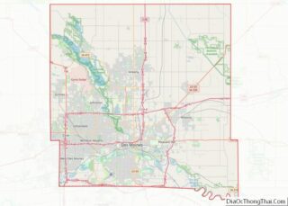
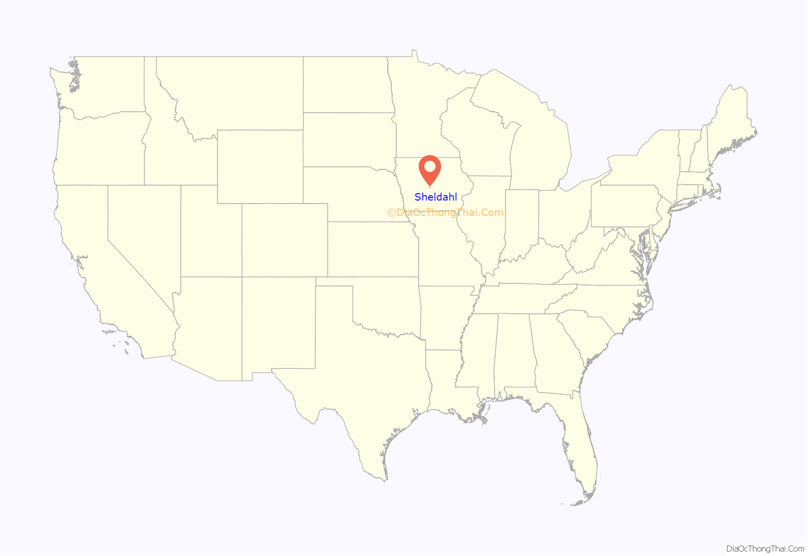
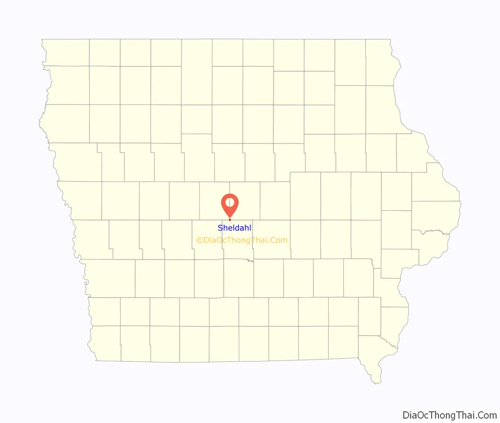
Sheldahl location map. Where is Sheldahl city?
History
The area was settled by 120 Norwegian immigrants from Lisbon, Illinois on June 7, 1855; including Osmond and Anna Sheldahl and five of their children. It incorporated as a city on January 18, 1882.
The Chicago and Northwestern Railway established a NE to S rail line through Sheldahl during the 1880s. The Chicago, Milwaukee, St. Paul, and Pacific Railroad connected with this line 2 miles north in Slater. In 2005, Union Pacific Railroad sold a 25-mile discontinued rail corridor—which included the recently abandoned line through Sheldahl—to the Iowa Natural Heritage Foundation, which enabled the construction of the recreational High Trestle Trail. Access to the trail, including a parking area and washroom, is located in Sheldahl.
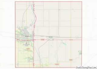
Sheldahl Road Map
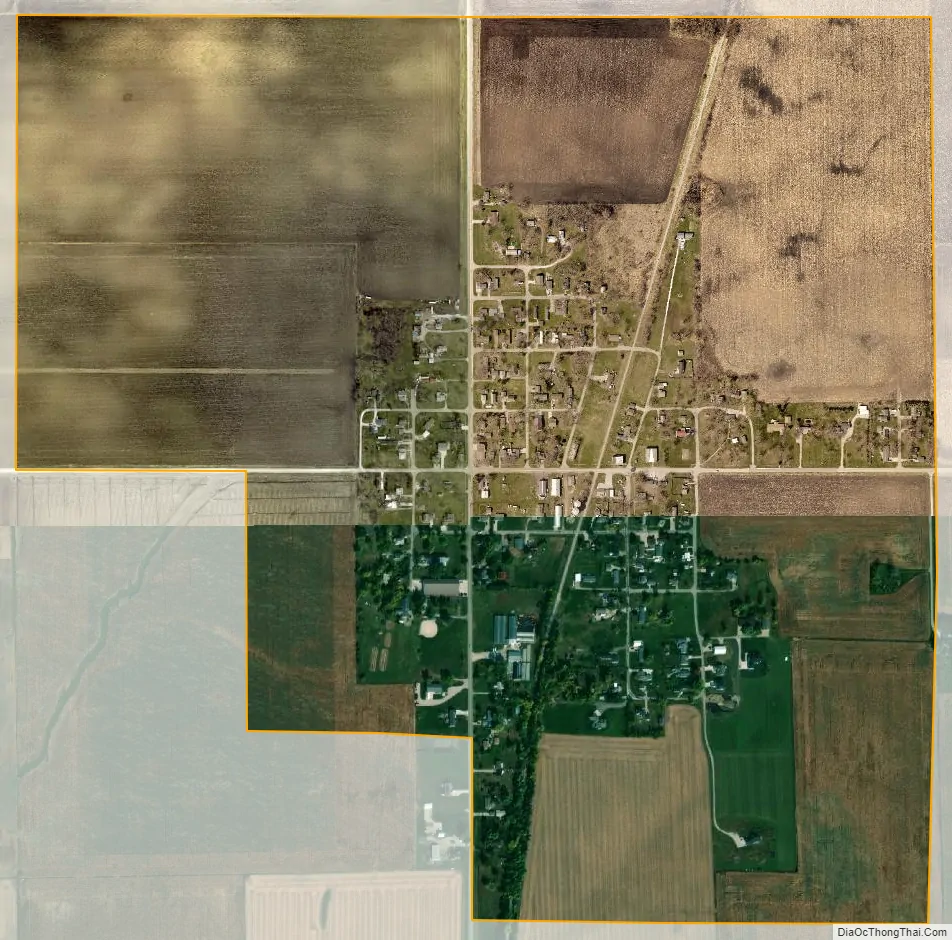
Sheldahl city Satellite Map
Geography
According to the United States Census Bureau, the city has a total area of 0.84 square miles (2.18 km), all land.
See also
Map of Iowa State and its subdivision:- Adair
- Adams
- Allamakee
- Appanoose
- Audubon
- Benton
- Black Hawk
- Boone
- Bremer
- Buchanan
- Buena Vista
- Butler
- Calhoun
- Carroll
- Cass
- Cedar
- Cerro Gordo
- Cherokee
- Chickasaw
- Clarke
- Clay
- Clayton
- Clinton
- Crawford
- Dallas
- Davis
- Decatur
- Delaware
- Des Moines
- Dickinson
- Dubuque
- Emmet
- Fayette
- Floyd
- Franklin
- Fremont
- Greene
- Grundy
- Guthrie
- Hamilton
- Hancock
- Hardin
- Harrison
- Henry
- Howard
- Humboldt
- Ida
- Iowa
- Jackson
- Jasper
- Jefferson
- Johnson
- Jones
- Keokuk
- Kossuth
- Lee
- Linn
- Louisa
- Lucas
- Lyon
- Madison
- Mahaska
- Marion
- Marshall
- Mills
- Mitchell
- Monona
- Monroe
- Montgomery
- Muscatine
- O'Brien
- Osceola
- Page
- Palo Alto
- Plymouth
- Pocahontas
- Polk
- Pottawattamie
- Poweshiek
- Ringgold
- Sac
- Scott
- Shelby
- Sioux
- Story
- Tama
- Taylor
- Union
- Van Buren
- Wapello
- Warren
- Washington
- Wayne
- Webster
- Winnebago
- Winneshiek
- Woodbury
- Worth
- Wright
- Alabama
- Alaska
- Arizona
- Arkansas
- California
- Colorado
- Connecticut
- Delaware
- District of Columbia
- Florida
- Georgia
- Hawaii
- Idaho
- Illinois
- Indiana
- Iowa
- Kansas
- Kentucky
- Louisiana
- Maine
- Maryland
- Massachusetts
- Michigan
- Minnesota
- Mississippi
- Missouri
- Montana
- Nebraska
- Nevada
- New Hampshire
- New Jersey
- New Mexico
- New York
- North Carolina
- North Dakota
- Ohio
- Oklahoma
- Oregon
- Pennsylvania
- Rhode Island
- South Carolina
- South Dakota
- Tennessee
- Texas
- Utah
- Vermont
- Virginia
- Washington
- West Virginia
- Wisconsin
- Wyoming