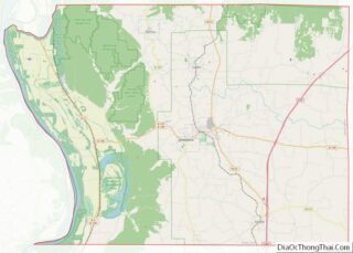
Alto Pass is a village in Union County, Illinois, United States. The population was 391 at the 2010 census, an increase from 388 in 2000. The Bald Knob Cross and Bald Knob Wilderness are nearby. Alto Pass lies roughly 5.1 miles to the northwest of downtown Cobden, Illinois.
| Name: | Alto Pass village |
|---|---|
| LSAD Code: | 47 |
| LSAD Description: | village (suffix) |
| State: | Illinois |
| County: | Union County |
| Elevation: | 742 ft (226 m) |
| Total Area: | 2.16 sq mi (5.60 km²) |
| Land Area: | 2.13 sq mi (5.53 km²) |
| Water Area: | 0.03 sq mi (0.08 km²) |
| Total Population: | 319 |
| Population Density: | 149.48/sq mi (57.73/km²) |
| Area code: | 618 |
| FIPS code: | 1701205 |
| GNISfeature ID: | 2397948 |
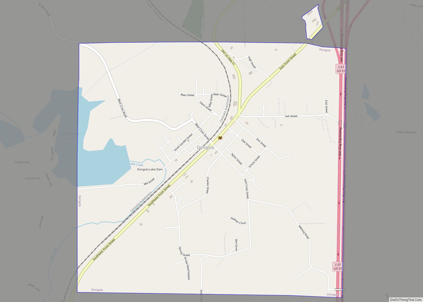
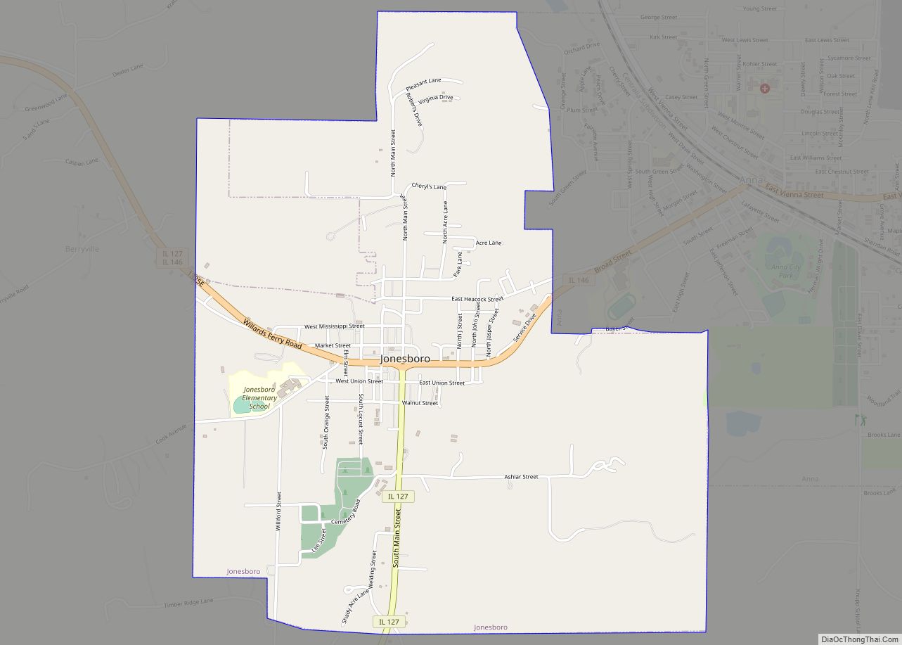
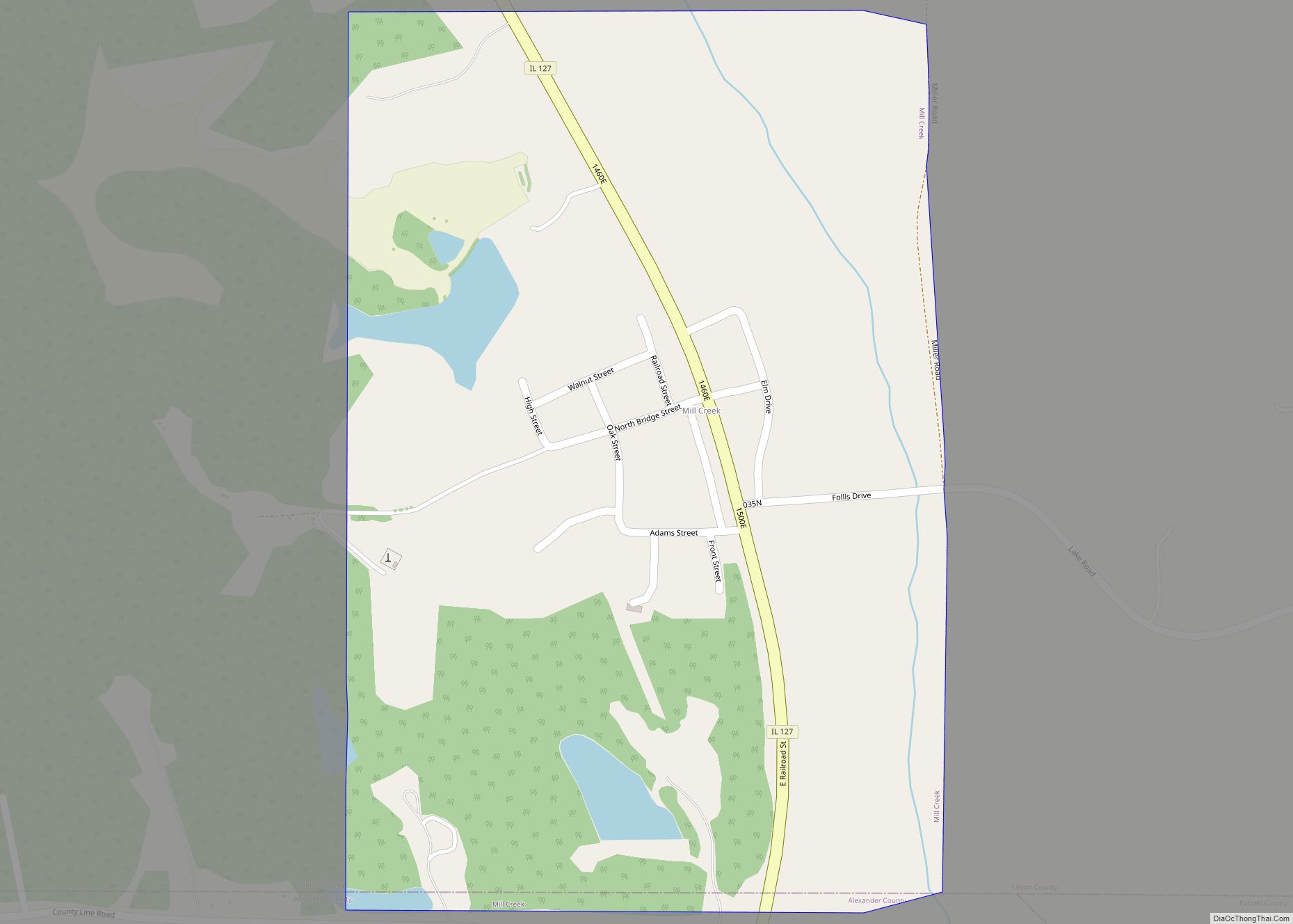
Online Interactive Map
Click on ![]() to view map in "full screen" mode.
to view map in "full screen" mode.
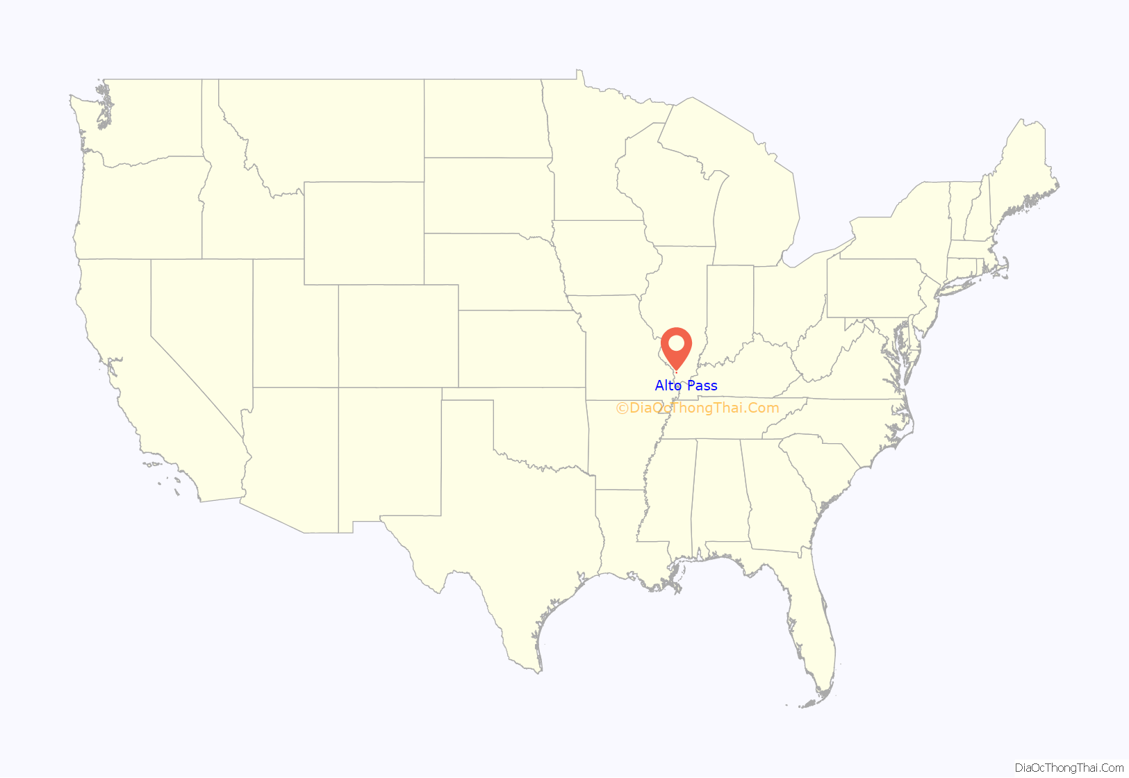
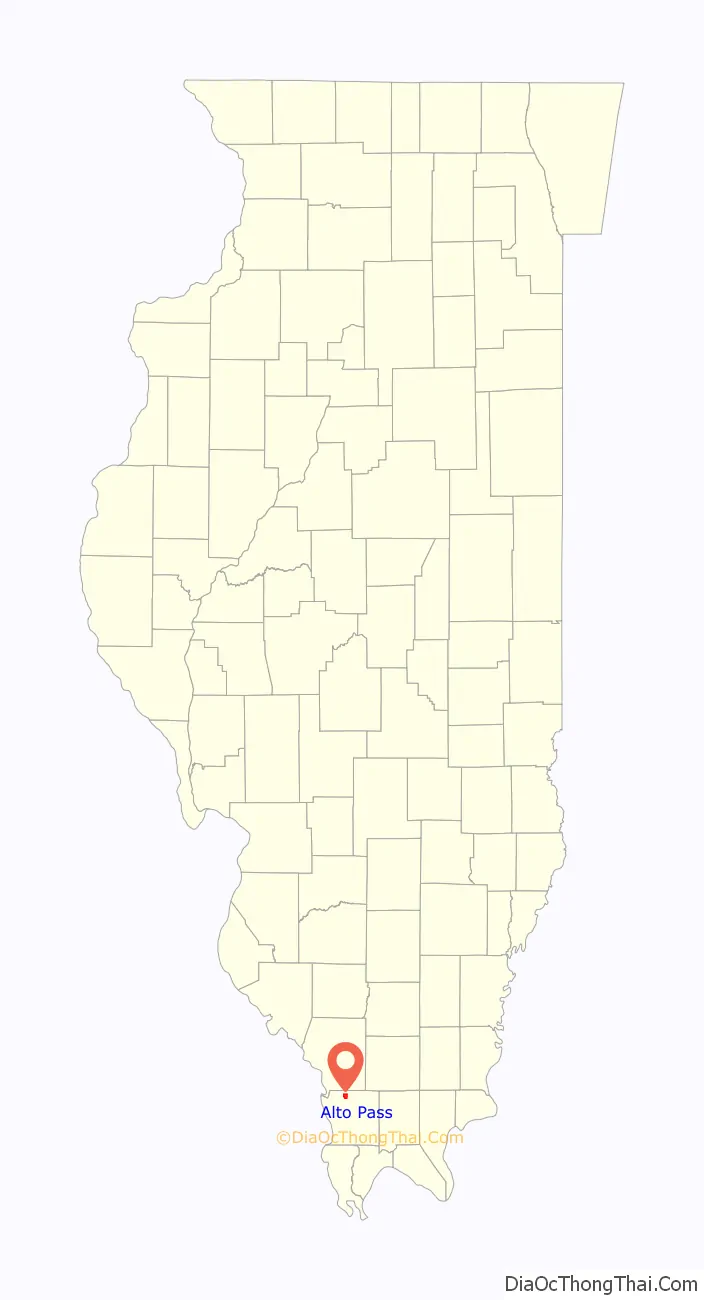
Alto Pass location map. Where is Alto Pass village?
History
Alto Pass was originally called Quetil, and under the latter name was laid out in 1875 when the railroad was extended to that point.
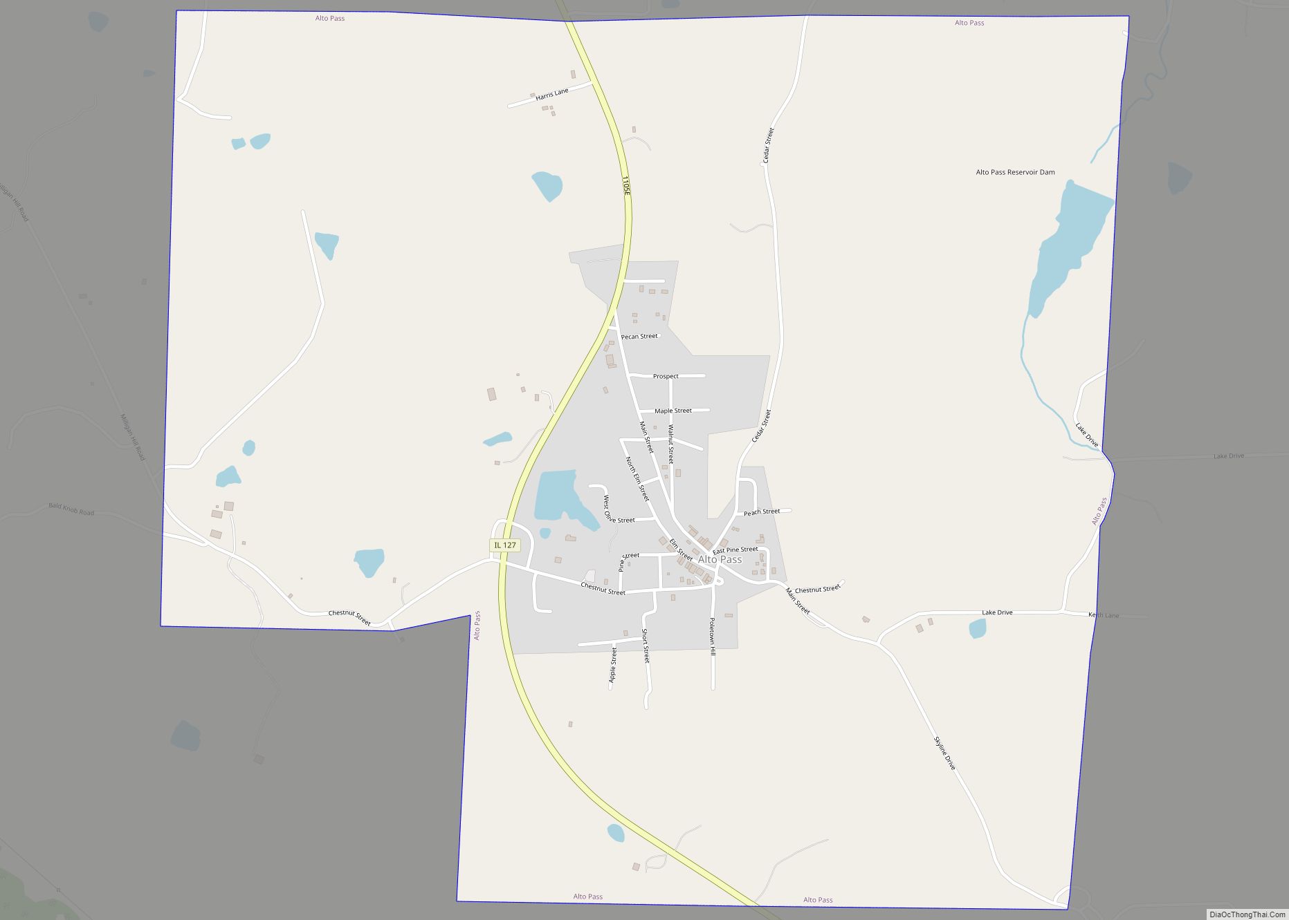
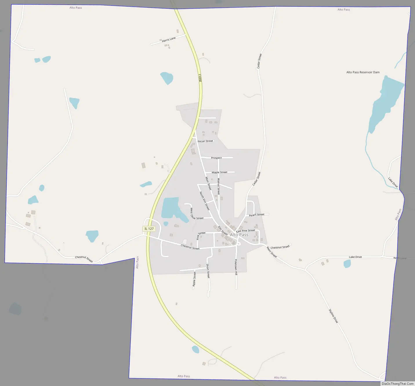
Alto Pass Road Map
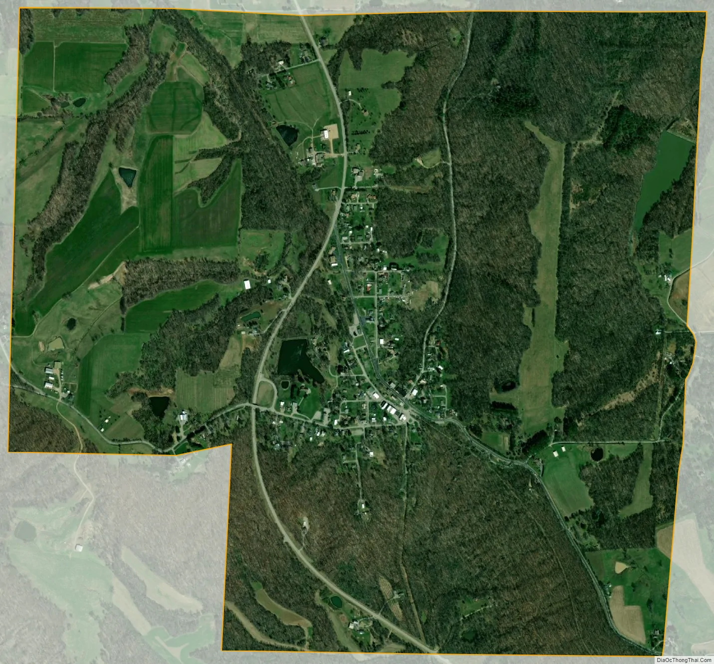
Alto Pass city Satellite Map
Geography
Alto Pass is located at 37°34′11″N 89°19′8″W / 37.56972°N 89.31889°W / 37.56972; -89.31889 (37.569758, -89.318873).
According to the 2010 census, Alto Pass has a total area of 2.16 square miles (5.59 km), of which 2.13 square miles (5.52 km) (or 98.61%) is land and 0.03 square miles (0.08 km) (or 1.39%) is water.
Bald Knob Cross is located approximately five miles southwest of the village.
See also
Map of Illinois State and its subdivision:- Adams
- Alexander
- Bond
- Boone
- Brown
- Bureau
- Calhoun
- Carroll
- Cass
- Champaign
- Christian
- Clark
- Clay
- Clinton
- Coles
- Cook
- Crawford
- Cumberland
- De Kalb
- De Witt
- Douglas
- Dupage
- Edgar
- Edwards
- Effingham
- Fayette
- Ford
- Franklin
- Fulton
- Gallatin
- Greene
- Grundy
- Hamilton
- Hancock
- Hardin
- Henderson
- Henry
- Iroquois
- Jackson
- Jasper
- Jefferson
- Jersey
- Jo Daviess
- Johnson
- Kane
- Kankakee
- Kendall
- Knox
- La Salle
- Lake
- Lake Michigan
- Lawrence
- Lee
- Livingston
- Logan
- Macon
- Macoupin
- Madison
- Marion
- Marshall
- Mason
- Massac
- McDonough
- McHenry
- McLean
- Menard
- Mercer
- Monroe
- Montgomery
- Morgan
- Moultrie
- Ogle
- Peoria
- Perry
- Piatt
- Pike
- Pope
- Pulaski
- Putnam
- Randolph
- Richland
- Rock Island
- Saint Clair
- Saline
- Sangamon
- Schuyler
- Scott
- Shelby
- Stark
- Stephenson
- Tazewell
- Union
- Vermilion
- Wabash
- Warren
- Washington
- Wayne
- White
- Whiteside
- Will
- Williamson
- Winnebago
- Woodford
- Alabama
- Alaska
- Arizona
- Arkansas
- California
- Colorado
- Connecticut
- Delaware
- District of Columbia
- Florida
- Georgia
- Hawaii
- Idaho
- Illinois
- Indiana
- Iowa
- Kansas
- Kentucky
- Louisiana
- Maine
- Maryland
- Massachusetts
- Michigan
- Minnesota
- Mississippi
- Missouri
- Montana
- Nebraska
- Nevada
- New Hampshire
- New Jersey
- New Mexico
- New York
- North Carolina
- North Dakota
- Ohio
- Oklahoma
- Oregon
- Pennsylvania
- Rhode Island
- South Carolina
- South Dakota
- Tennessee
- Texas
- Utah
- Vermont
- Virginia
- Washington
- West Virginia
- Wisconsin
- Wyoming