Cobden is a village in Union County, Illinois, United States, within the Southern Illinois region informally known as “Little Egypt.” The population as of the 2020 census is 1,034, a decline of 10.63% since the 2010 census. Cobden is regionally known for the mascot of its public school district, Cobden Unit School District #17, called the “Appleknockers,” which has been voted as one of the most unique high school mascots in the country by numerous publications. The area around Cobden is widely known for its many wineries and orchards, most notably Flamm Orchards, which is just north of town, and Rendleman Orchard in nearby Alto Pass, Illinois.
| Name: | Cobden village |
|---|---|
| LSAD Code: | 47 |
| LSAD Description: | village (suffix) |
| State: | Illinois |
| County: | Union County |
| Elevation: | 607 ft (185 m) |
| Total Area: | 1.23 sq mi (3.18 km²) |
| Land Area: | 1.22 sq mi (3.16 km²) |
| Water Area: | 0.01 sq mi (0.02 km²) |
| Total Population: | 1,074 |
| Population Density: | 880.33/sq mi (339.97/km²) |
| Area code: | 618 |
| FIPS code: | 1715300 |
| GNISfeature ID: | 2398593 |
| Website: | www.cobdenil.com |
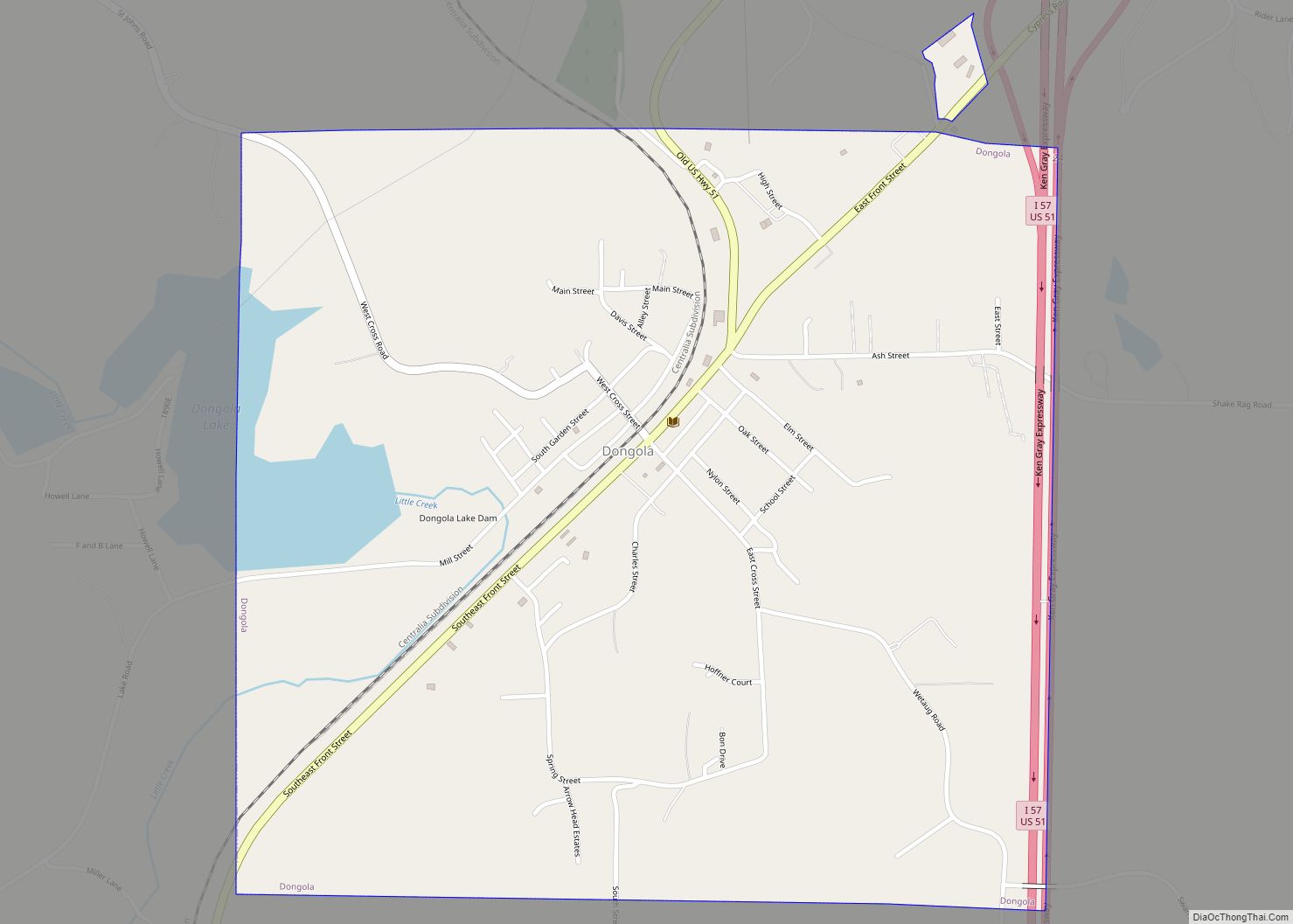
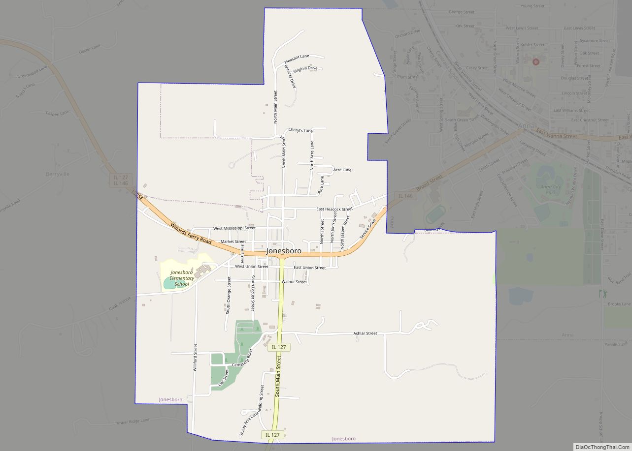
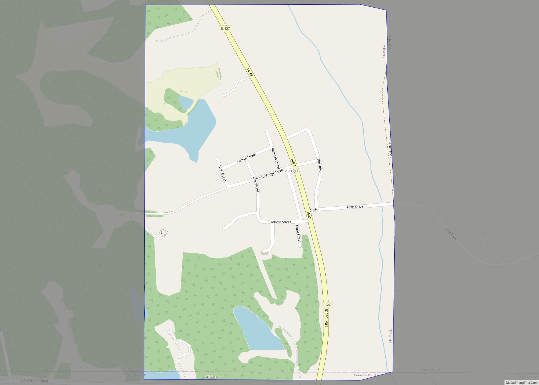
Online Interactive Map
Click on ![]() to view map in "full screen" mode.
to view map in "full screen" mode.
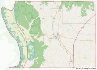
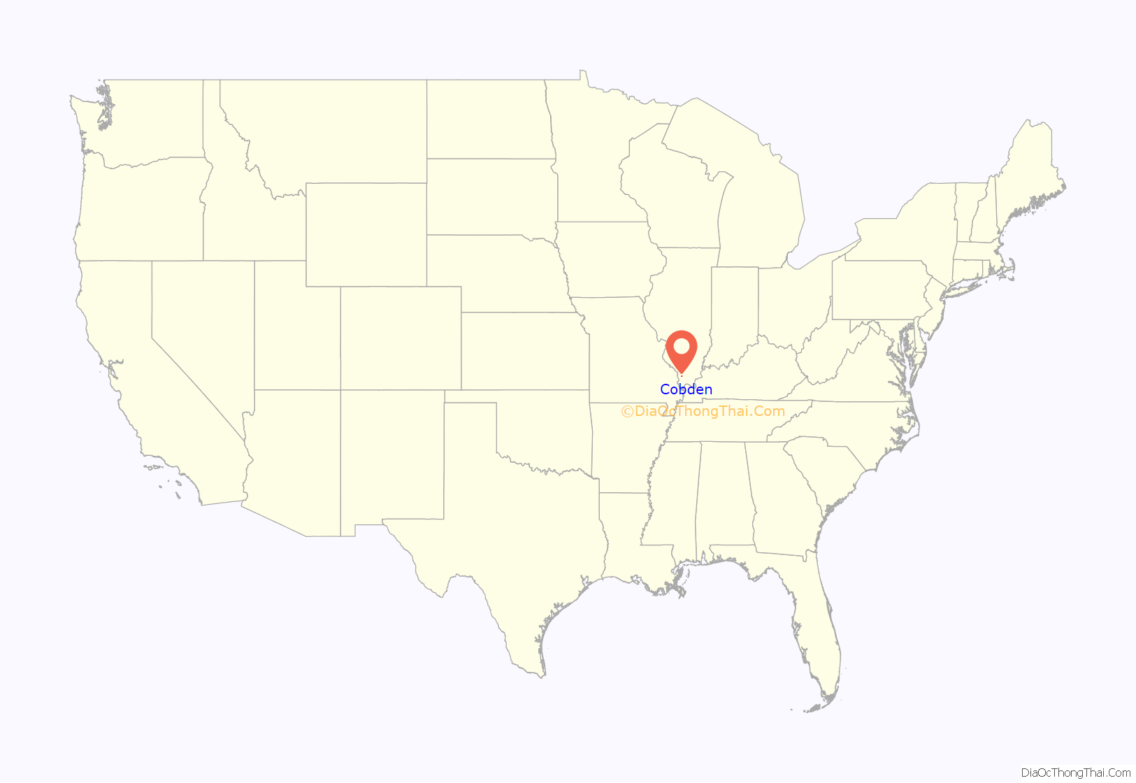
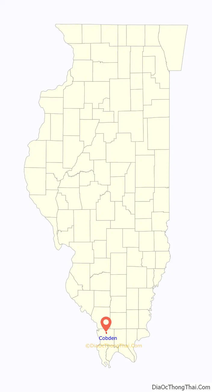
Cobden location map. Where is Cobden village?
History
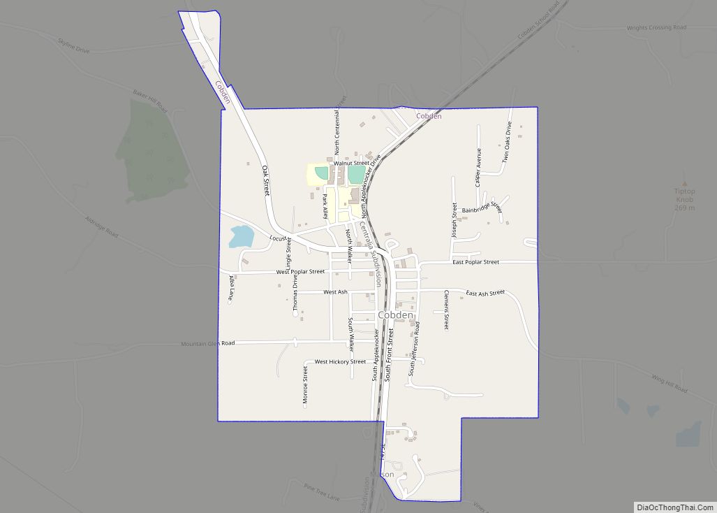
The village is named after British politician Richard Cobden, who visited the town in 1859. An early variant name was “South Pass”. Cobden began as an agricultural town and developed around the tracks of a route owned by the Illinois Central Railroad (now owned by Canadian National Railway), as well as being along a main highway, U.S. Highway 51, running through the region.
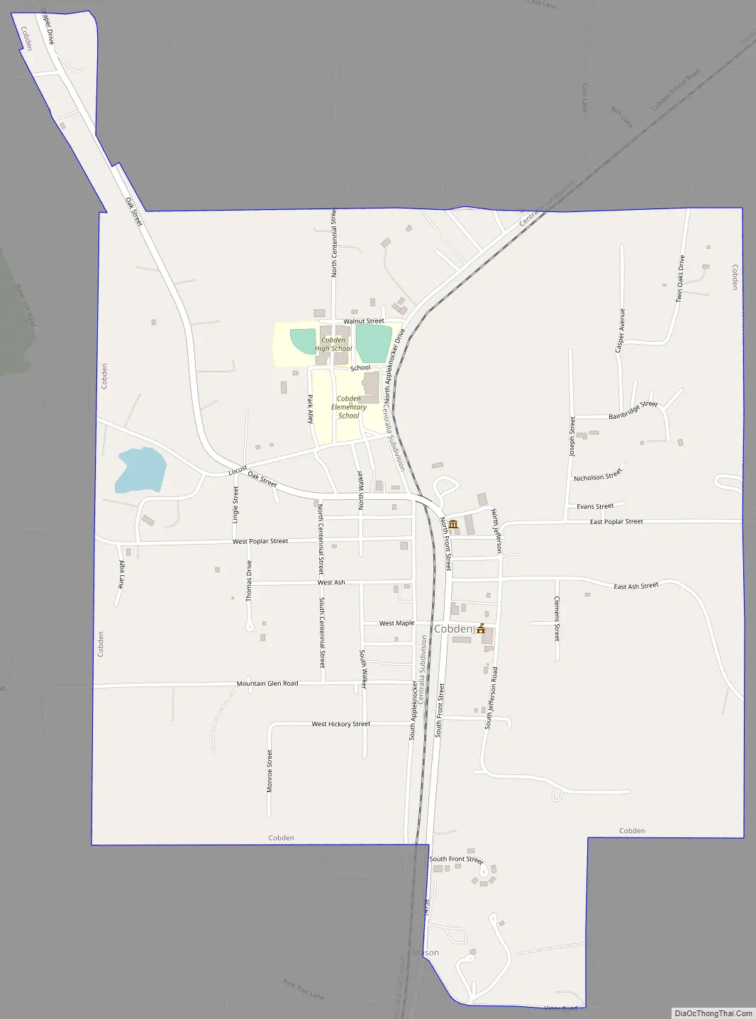
Cobden Road Map
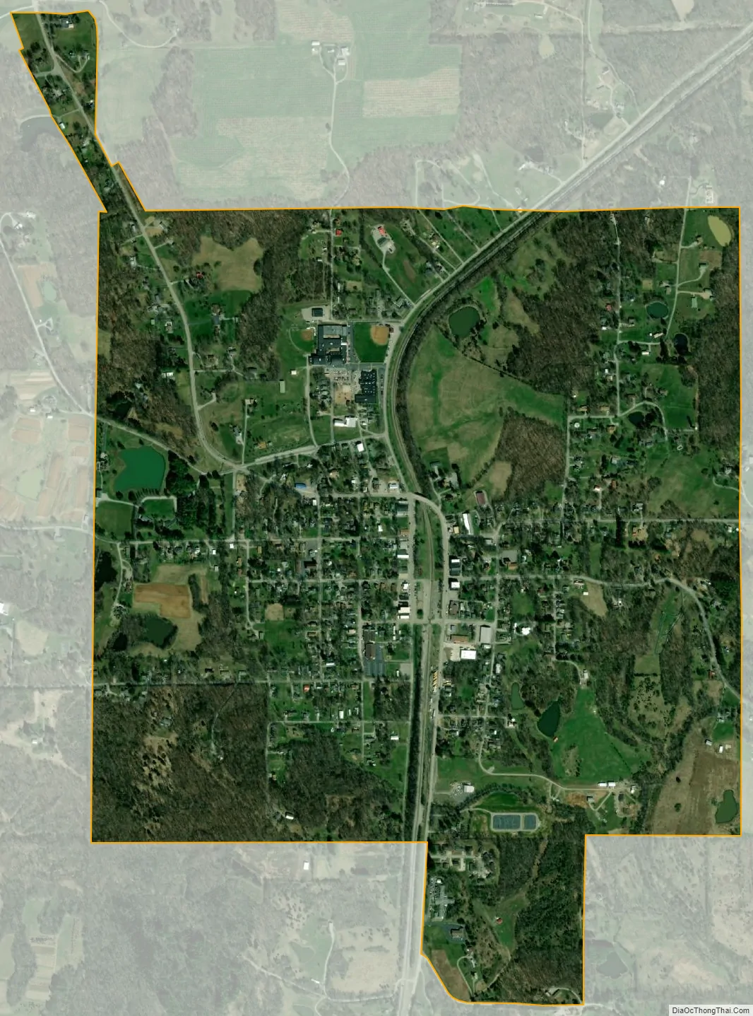
Cobden city Satellite Map
Geography
Cobden is located at 37°32′2″N 89°15′19″W / 37.53389°N 89.25528°W / 37.53389; -89.25528 (37.533949, -89.255409). Cobden lies 13.7 miles south of Carbondale, Illinois and just north of the towns of Anna, Illinois and Jonesboro, Illinois, along Old U.S Highway 51, which runs straight through town. Nearby Alto Pass, Illinois lies 5.1 miles to the northwest.
According to the 2010 census, Cobden has a total area of 1.229 square miles (3.18 km), of which 1.22 square miles (3.16 km) (or 99.27%) is land and 0.009 square miles (0.02 km) (or 0.73%) is water.
Cobden is located near the crest of the Shawnee Hills. It is in “Cobden Col”, a valley cut into rock by water near the summit of this ancient mountain range. Approximately 100,000 years ago, the Illinoian ice sheet covered almost all of Illinois. As it pushed south, the ice sheet climbed the Shawnee Mountains. The height of the ice sheet was much greater than that of the mountains. It stopped before it reached their summits. As it melted, a lake formed between the mountains and the glacier. Cobden Col was the outlet of this lake.
See also
Map of Illinois State and its subdivision:- Adams
- Alexander
- Bond
- Boone
- Brown
- Bureau
- Calhoun
- Carroll
- Cass
- Champaign
- Christian
- Clark
- Clay
- Clinton
- Coles
- Cook
- Crawford
- Cumberland
- De Kalb
- De Witt
- Douglas
- Dupage
- Edgar
- Edwards
- Effingham
- Fayette
- Ford
- Franklin
- Fulton
- Gallatin
- Greene
- Grundy
- Hamilton
- Hancock
- Hardin
- Henderson
- Henry
- Iroquois
- Jackson
- Jasper
- Jefferson
- Jersey
- Jo Daviess
- Johnson
- Kane
- Kankakee
- Kendall
- Knox
- La Salle
- Lake
- Lake Michigan
- Lawrence
- Lee
- Livingston
- Logan
- Macon
- Macoupin
- Madison
- Marion
- Marshall
- Mason
- Massac
- McDonough
- McHenry
- McLean
- Menard
- Mercer
- Monroe
- Montgomery
- Morgan
- Moultrie
- Ogle
- Peoria
- Perry
- Piatt
- Pike
- Pope
- Pulaski
- Putnam
- Randolph
- Richland
- Rock Island
- Saint Clair
- Saline
- Sangamon
- Schuyler
- Scott
- Shelby
- Stark
- Stephenson
- Tazewell
- Union
- Vermilion
- Wabash
- Warren
- Washington
- Wayne
- White
- Whiteside
- Will
- Williamson
- Winnebago
- Woodford
- Alabama
- Alaska
- Arizona
- Arkansas
- California
- Colorado
- Connecticut
- Delaware
- District of Columbia
- Florida
- Georgia
- Hawaii
- Idaho
- Illinois
- Indiana
- Iowa
- Kansas
- Kentucky
- Louisiana
- Maine
- Maryland
- Massachusetts
- Michigan
- Minnesota
- Mississippi
- Missouri
- Montana
- Nebraska
- Nevada
- New Hampshire
- New Jersey
- New Mexico
- New York
- North Carolina
- North Dakota
- Ohio
- Oklahoma
- Oregon
- Pennsylvania
- Rhode Island
- South Carolina
- South Dakota
- Tennessee
- Texas
- Utah
- Vermont
- Virginia
- Washington
- West Virginia
- Wisconsin
- Wyoming