Jonesboro is a city in Union County, Illinois, United States. The population was 1,821 at the 2010 census, a decline from 1,853 in 2000. It is the county seat of Union County. The city is known for being tied to its close neighbor Anna, together known as Anna-Jonesboro.
| Name: | Jonesboro city |
|---|---|
| LSAD Code: | 25 |
| LSAD Description: | city (suffix) |
| State: | Illinois |
| County: | Union County |
| Elevation: | 518 ft (158 m) |
| Total Area: | 2.71 sq mi (7.01 km²) |
| Land Area: | 2.70 sq mi (6.99 km²) |
| Water Area: | 0.01 sq mi (0.01 km²) |
| Total Population: | 1,711 |
| Population Density: | 633.70/sq mi (244.63/km²) |
| Area code: | 618 |
| FIPS code: | 1738635 |
| GNISfeature ID: | 2395480 |
| Website: | www.cojil.org |
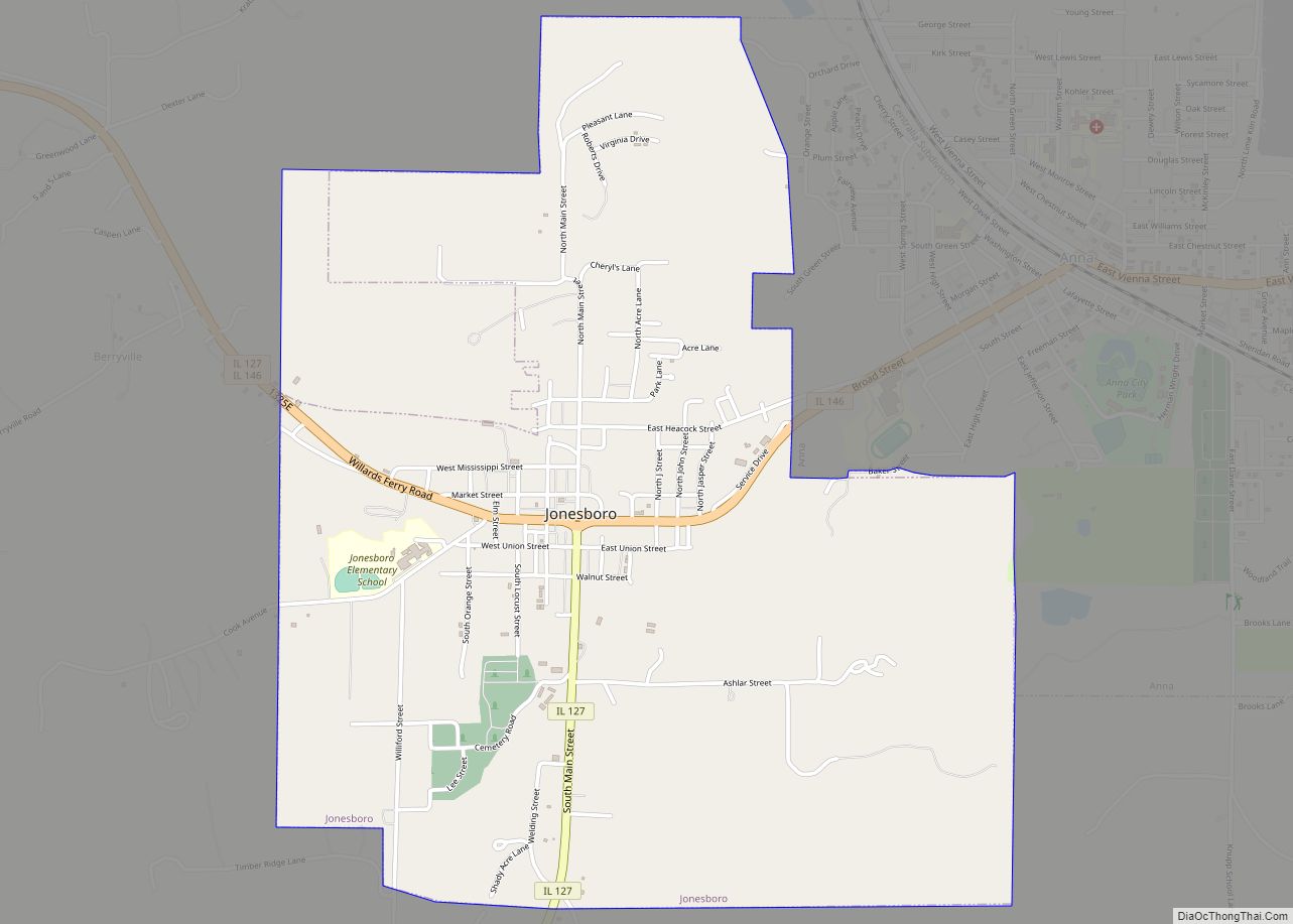
Online Interactive Map
Click on ![]() to view map in "full screen" mode.
to view map in "full screen" mode.
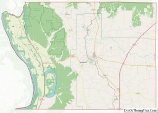
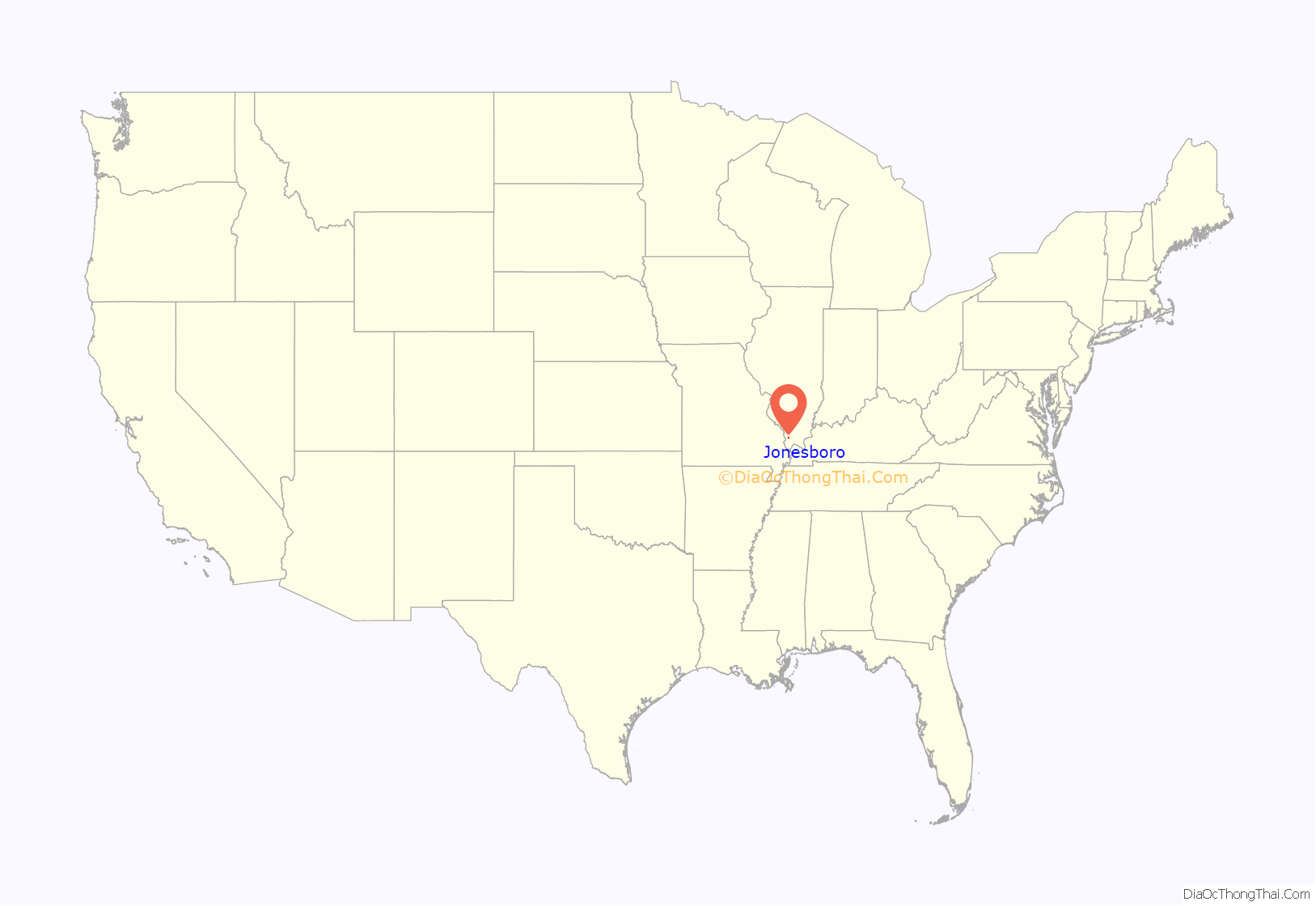
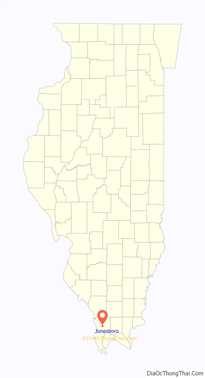
Jonesboro location map. Where is Jonesboro city?
History
Jonesboro was the location of the third of the Lincoln-Douglas debates, on September 15, 1858. It was named for Doctor Jones, a pioneer settler. Nearby is the Trail of Tears State Forest.
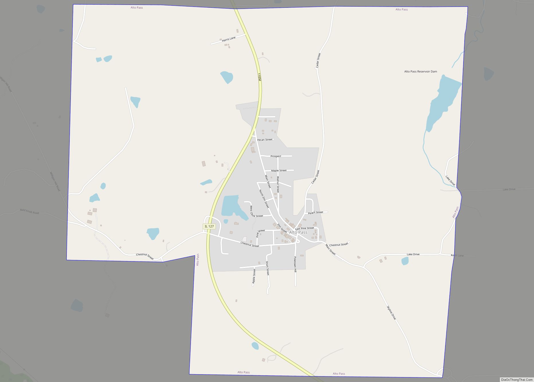
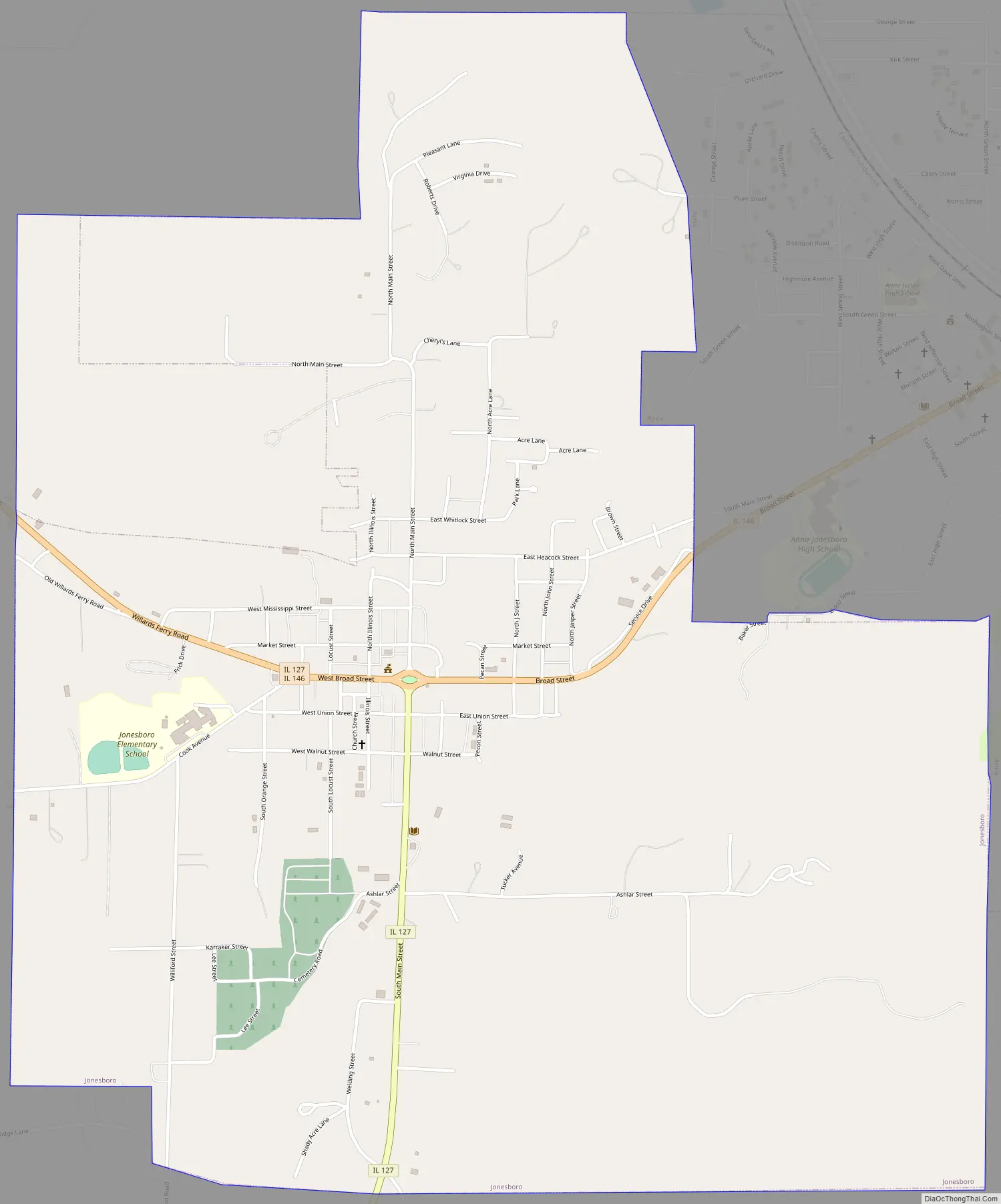
Jonesboro Road Map
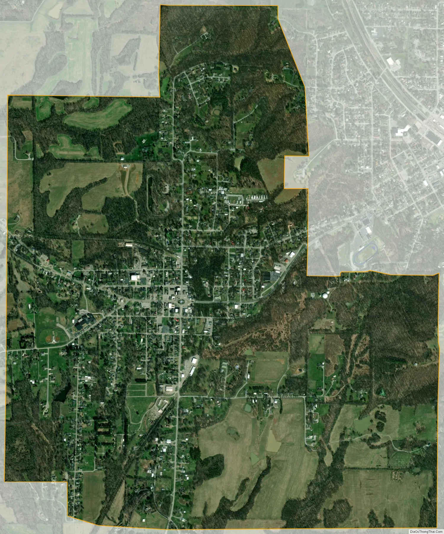
Jonesboro city Satellite Map
Geography
Jonesboro is located at 37°27′4″N 89°16′7″W / 37.45111°N 89.26861°W / 37.45111; -89.26861 (37.451126, -89.268566).
According to the 2010 census, Jonesboro has a total area of 2.706 square miles (7.01 km), of which 2.7 square miles (6.99 km) (or 99.78%) is land and 0.006 square miles (0.02 km) (or 0.22%) is water.
See also
Map of Illinois State and its subdivision:- Adams
- Alexander
- Bond
- Boone
- Brown
- Bureau
- Calhoun
- Carroll
- Cass
- Champaign
- Christian
- Clark
- Clay
- Clinton
- Coles
- Cook
- Crawford
- Cumberland
- De Kalb
- De Witt
- Douglas
- Dupage
- Edgar
- Edwards
- Effingham
- Fayette
- Ford
- Franklin
- Fulton
- Gallatin
- Greene
- Grundy
- Hamilton
- Hancock
- Hardin
- Henderson
- Henry
- Iroquois
- Jackson
- Jasper
- Jefferson
- Jersey
- Jo Daviess
- Johnson
- Kane
- Kankakee
- Kendall
- Knox
- La Salle
- Lake
- Lake Michigan
- Lawrence
- Lee
- Livingston
- Logan
- Macon
- Macoupin
- Madison
- Marion
- Marshall
- Mason
- Massac
- McDonough
- McHenry
- McLean
- Menard
- Mercer
- Monroe
- Montgomery
- Morgan
- Moultrie
- Ogle
- Peoria
- Perry
- Piatt
- Pike
- Pope
- Pulaski
- Putnam
- Randolph
- Richland
- Rock Island
- Saint Clair
- Saline
- Sangamon
- Schuyler
- Scott
- Shelby
- Stark
- Stephenson
- Tazewell
- Union
- Vermilion
- Wabash
- Warren
- Washington
- Wayne
- White
- Whiteside
- Will
- Williamson
- Winnebago
- Woodford
- Alabama
- Alaska
- Arizona
- Arkansas
- California
- Colorado
- Connecticut
- Delaware
- District of Columbia
- Florida
- Georgia
- Hawaii
- Idaho
- Illinois
- Indiana
- Iowa
- Kansas
- Kentucky
- Louisiana
- Maine
- Maryland
- Massachusetts
- Michigan
- Minnesota
- Mississippi
- Missouri
- Montana
- Nebraska
- Nevada
- New Hampshire
- New Jersey
- New Mexico
- New York
- North Carolina
- North Dakota
- Ohio
- Oklahoma
- Oregon
- Pennsylvania
- Rhode Island
- South Carolina
- South Dakota
- Tennessee
- Texas
- Utah
- Vermont
- Virginia
- Washington
- West Virginia
- Wisconsin
- Wyoming