Assumption is a city in Christian County, Illinois, United States. The population was 1,155 as of the 2020 census.
| Name: | Assumption city |
|---|---|
| LSAD Code: | 25 |
| LSAD Description: | city (suffix) |
| State: | Illinois |
| County: | Christian County |
| Elevation: | 640 ft (200 m) |
| Total Area: | 0.99 sq mi (2.56 km²) |
| Land Area: | 0.99 sq mi (2.56 km²) |
| Water Area: | 0.00 sq mi (0.00 km²) |
| Total Population: | 1,155 |
| Population Density: | 1,166.67/sq mi (450.42/km²) |
| Area code: | 217. 447 |
| FIPS code: | 1702609 |
| Website: | cityofassumption.org |
Online Interactive Map
Click on ![]() to view map in "full screen" mode.
to view map in "full screen" mode.
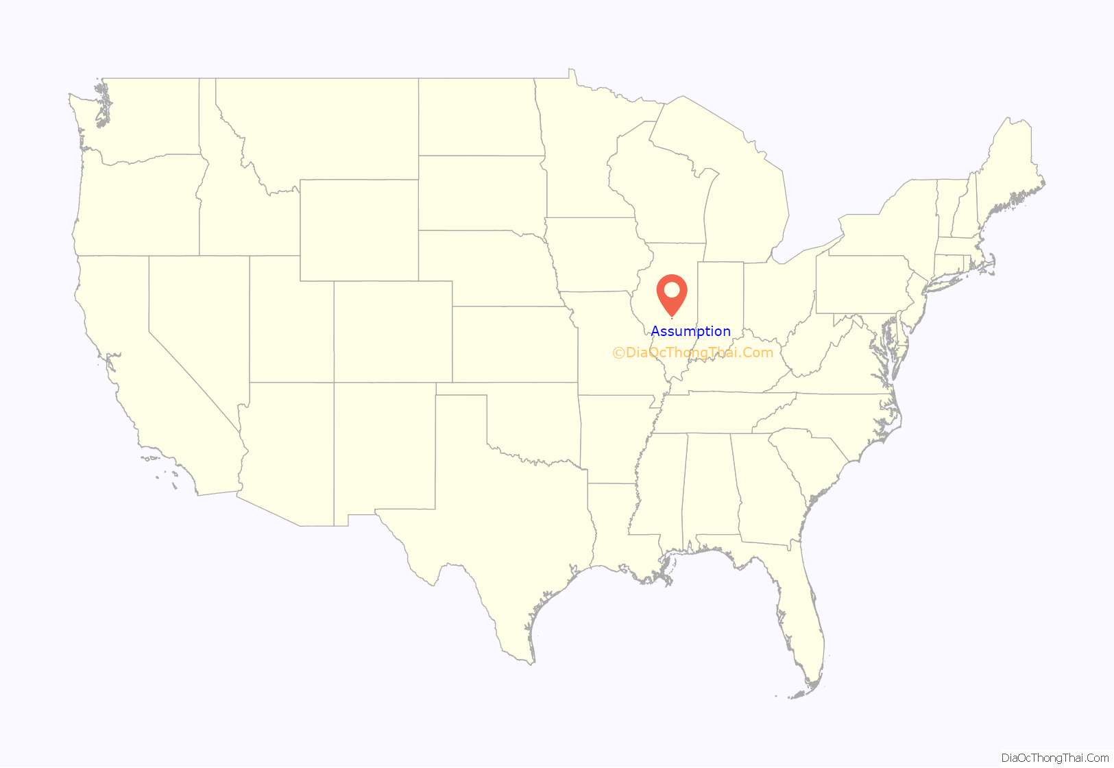
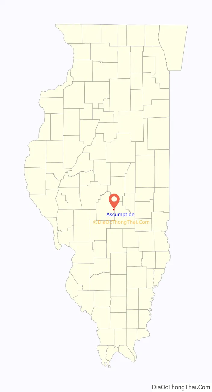
Assumption location map. Where is Assumption city?
History
Assumption originally was called “Tacusah”. The present name is after Assumption Parish, Louisiana. A post office called Assumption has been operation since 1858. Assumption lays claim to the deepest coal mine (abandoned in the 1930s) in the state at over 1000′ below the surface. First National Bank of Assumption (founded in 1900) claims to be the oldest bank in Christian County as it was the only bank in the county to remain open during the Great Depression.
In May 2017, news reached Assumption of the recovery of the remains of United States Air Force Captain Joseph S. Smith, a pilot shot down over Cambodia in 1971 during the Vietnam War. A large portion of the community turned out for his repatriation and internment in July, 2017
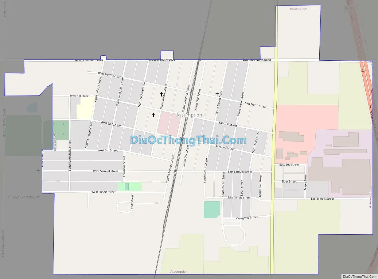
Assumption Road Map
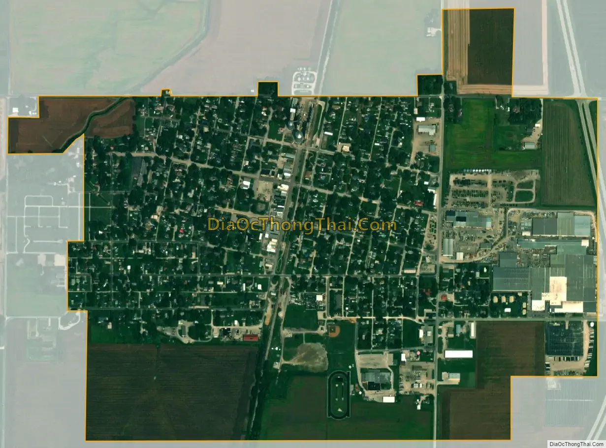
Assumption city Satellite Map
Geography
According to the 2020 census, Assumption has a total area of 0.88 square miles (2.28 km), all land.
See also
Map of Illinois State and its subdivision:- Adams
- Alexander
- Bond
- Boone
- Brown
- Bureau
- Calhoun
- Carroll
- Cass
- Champaign
- Christian
- Clark
- Clay
- Clinton
- Coles
- Cook
- Crawford
- Cumberland
- De Kalb
- De Witt
- Douglas
- Dupage
- Edgar
- Edwards
- Effingham
- Fayette
- Ford
- Franklin
- Fulton
- Gallatin
- Greene
- Grundy
- Hamilton
- Hancock
- Hardin
- Henderson
- Henry
- Iroquois
- Jackson
- Jasper
- Jefferson
- Jersey
- Jo Daviess
- Johnson
- Kane
- Kankakee
- Kendall
- Knox
- La Salle
- Lake
- Lake Michigan
- Lawrence
- Lee
- Livingston
- Logan
- Macon
- Macoupin
- Madison
- Marion
- Marshall
- Mason
- Massac
- McDonough
- McHenry
- McLean
- Menard
- Mercer
- Monroe
- Montgomery
- Morgan
- Moultrie
- Ogle
- Peoria
- Perry
- Piatt
- Pike
- Pope
- Pulaski
- Putnam
- Randolph
- Richland
- Rock Island
- Saint Clair
- Saline
- Sangamon
- Schuyler
- Scott
- Shelby
- Stark
- Stephenson
- Tazewell
- Union
- Vermilion
- Wabash
- Warren
- Washington
- Wayne
- White
- Whiteside
- Will
- Williamson
- Winnebago
- Woodford
- Alabama
- Alaska
- Arizona
- Arkansas
- California
- Colorado
- Connecticut
- Delaware
- District of Columbia
- Florida
- Georgia
- Hawaii
- Idaho
- Illinois
- Indiana
- Iowa
- Kansas
- Kentucky
- Louisiana
- Maine
- Maryland
- Massachusetts
- Michigan
- Minnesota
- Mississippi
- Missouri
- Montana
- Nebraska
- Nevada
- New Hampshire
- New Jersey
- New Mexico
- New York
- North Carolina
- North Dakota
- Ohio
- Oklahoma
- Oregon
- Pennsylvania
- Rhode Island
- South Carolina
- South Dakota
- Tennessee
- Texas
- Utah
- Vermont
- Virginia
- Washington
- West Virginia
- Wisconsin
- Wyoming


