Banner is a village in Fulton County, Illinois, United States. The population was 189 at the 2010 census, up from 149 at the 2000 census.
The current mayor of Banner is Kenneth Fuller. The current two year trustee is David Zimmerman.
| Name: | Banner village |
|---|---|
| LSAD Code: | 47 |
| LSAD Description: | village (suffix) |
| State: | Illinois |
| County: | Fulton County |
| Elevation: | 482 ft (147 m) |
| Total Area: | 1.29 sq mi (3.34 km²) |
| Land Area: | 1.29 sq mi (3.34 km²) |
| Water Area: | 0.00 sq mi (0.00 km²) |
| Total Population: | 169 |
| Area code: | 309 |
| FIPS code: | 1703571 |
Online Interactive Map
Click on ![]() to view map in "full screen" mode.
to view map in "full screen" mode.
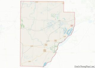
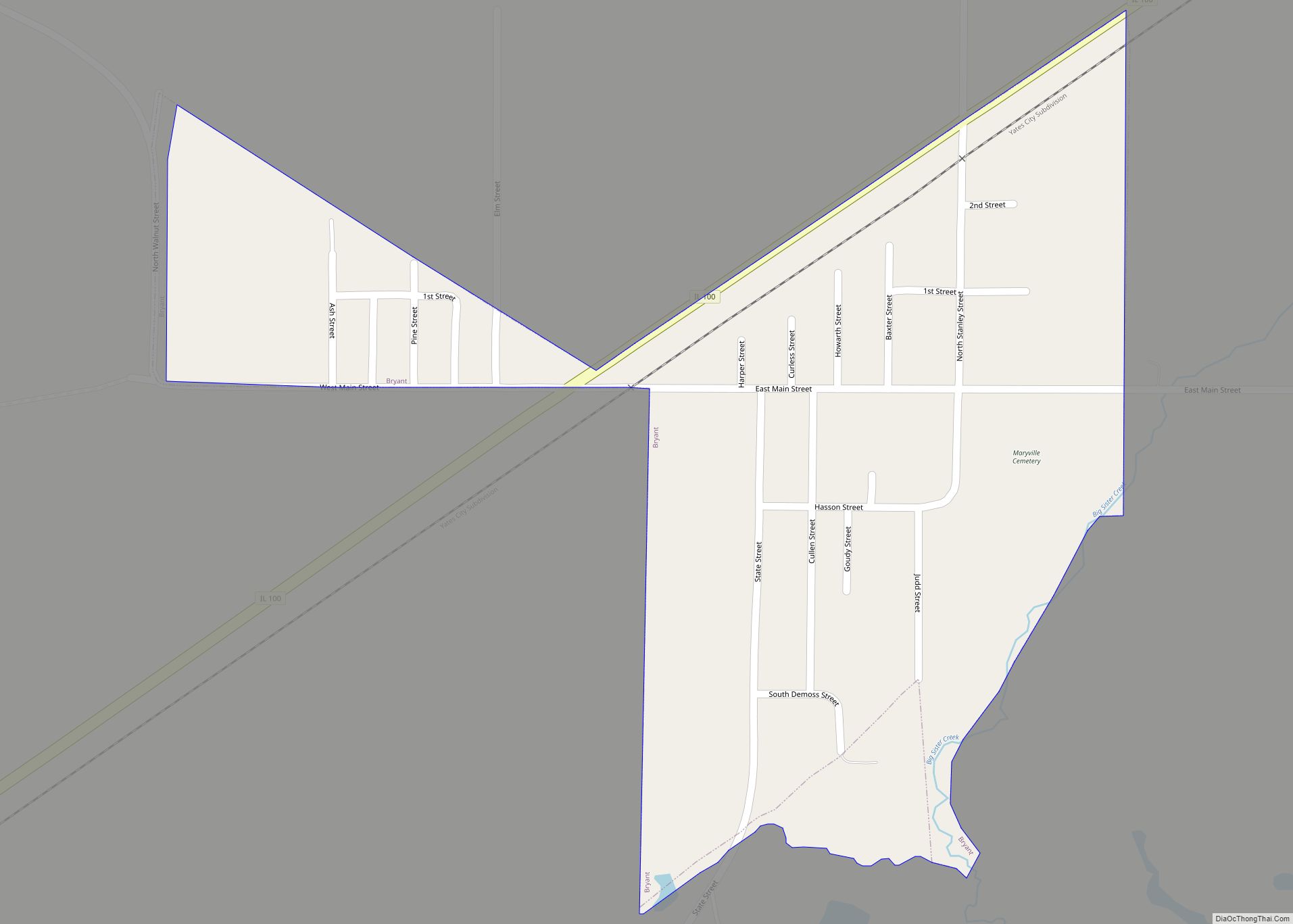
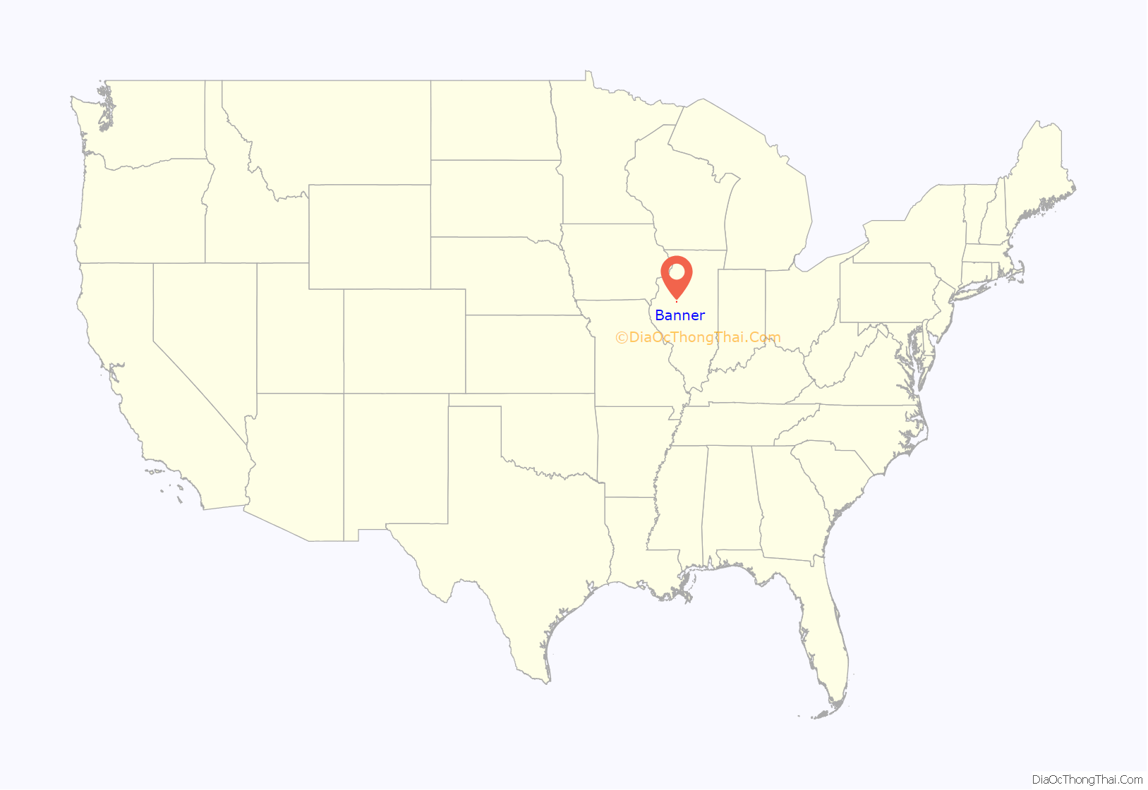
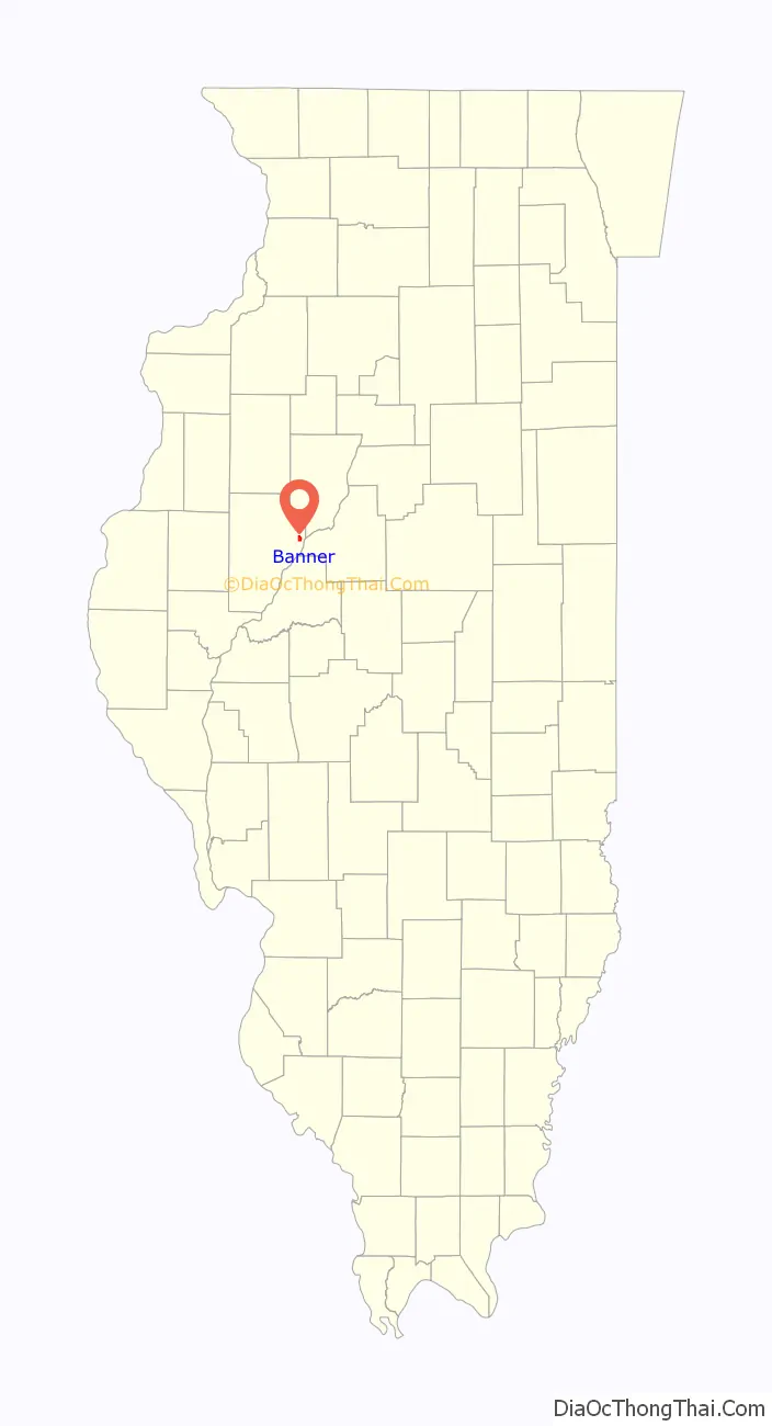
Banner location map. Where is Banner village?
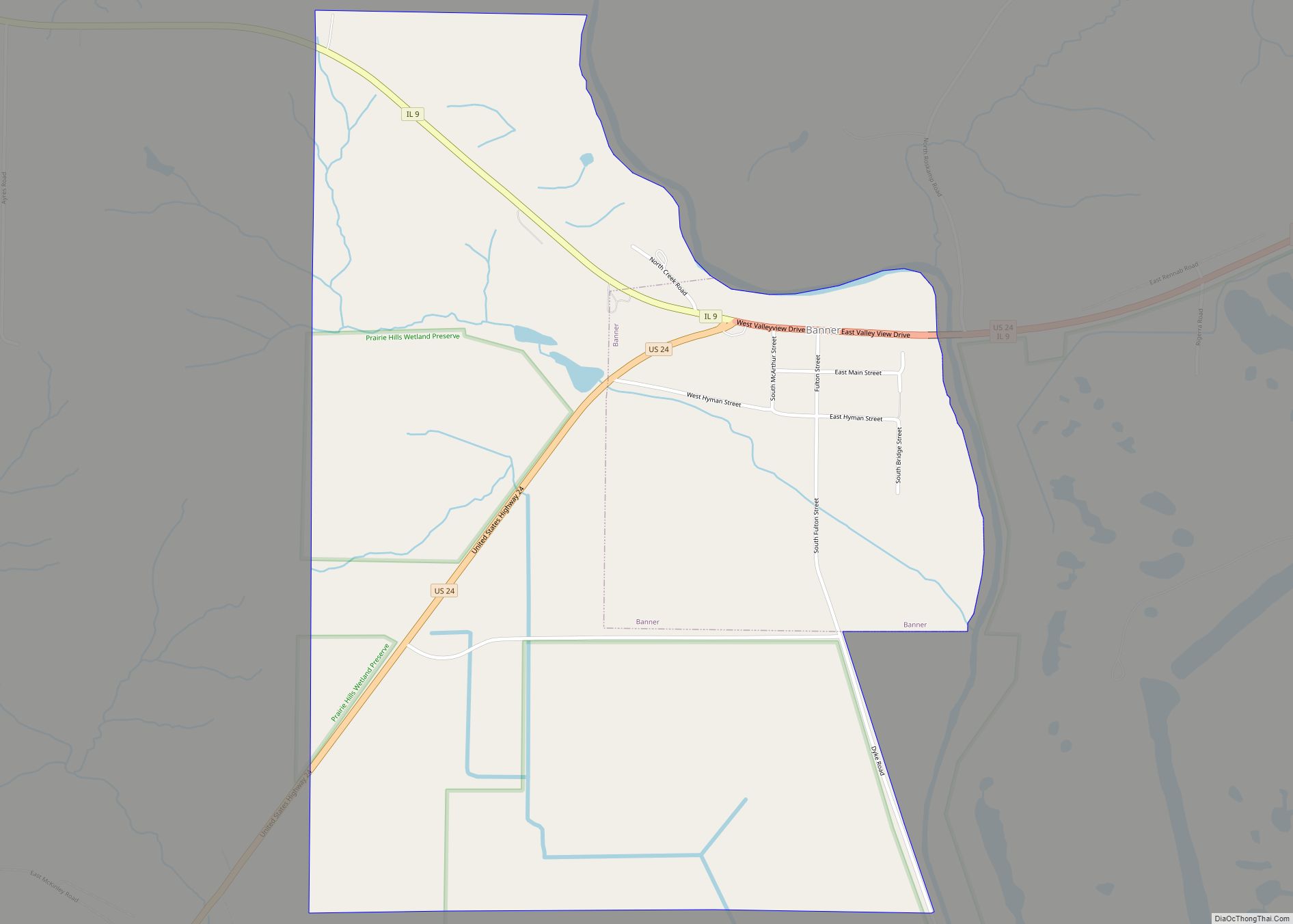
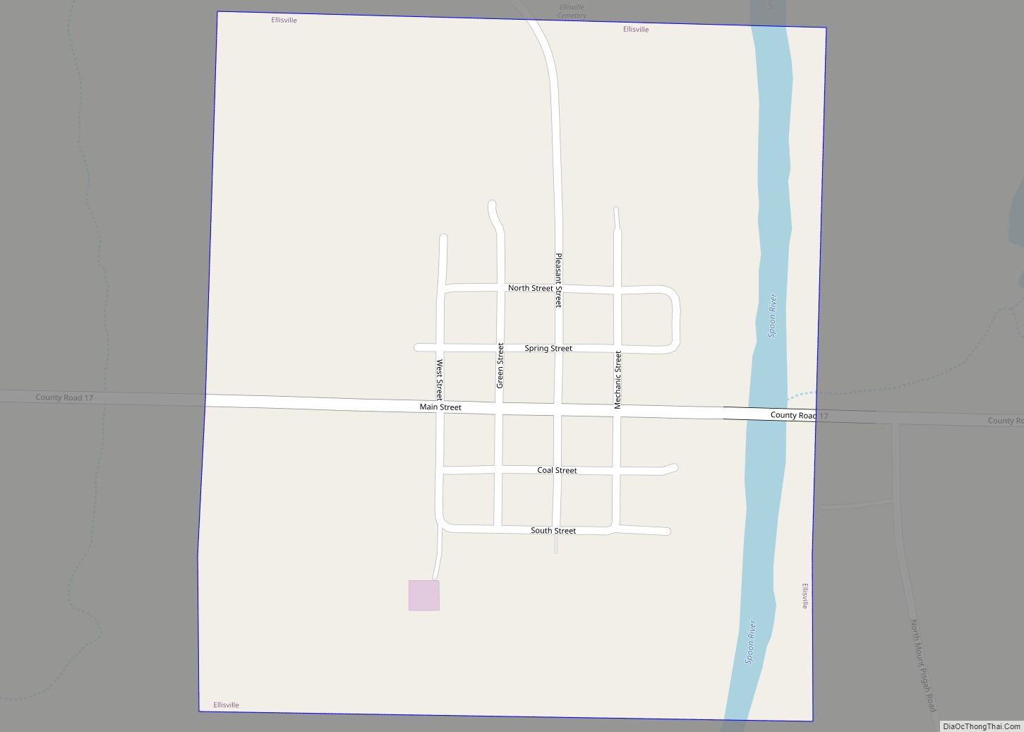
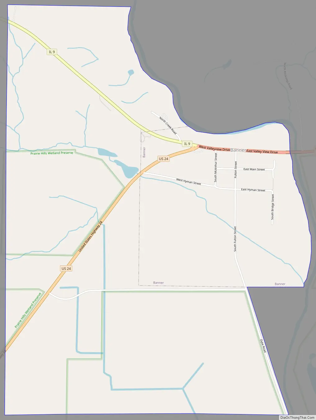
Banner Road Map
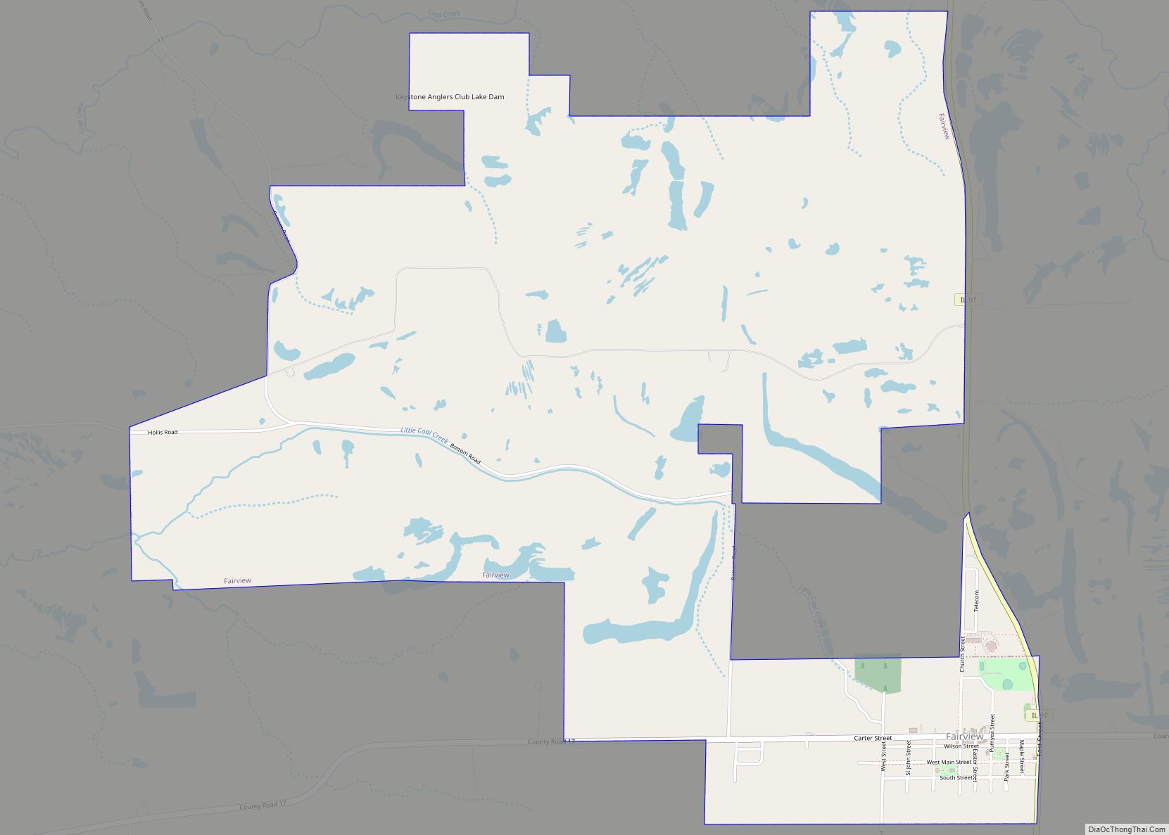
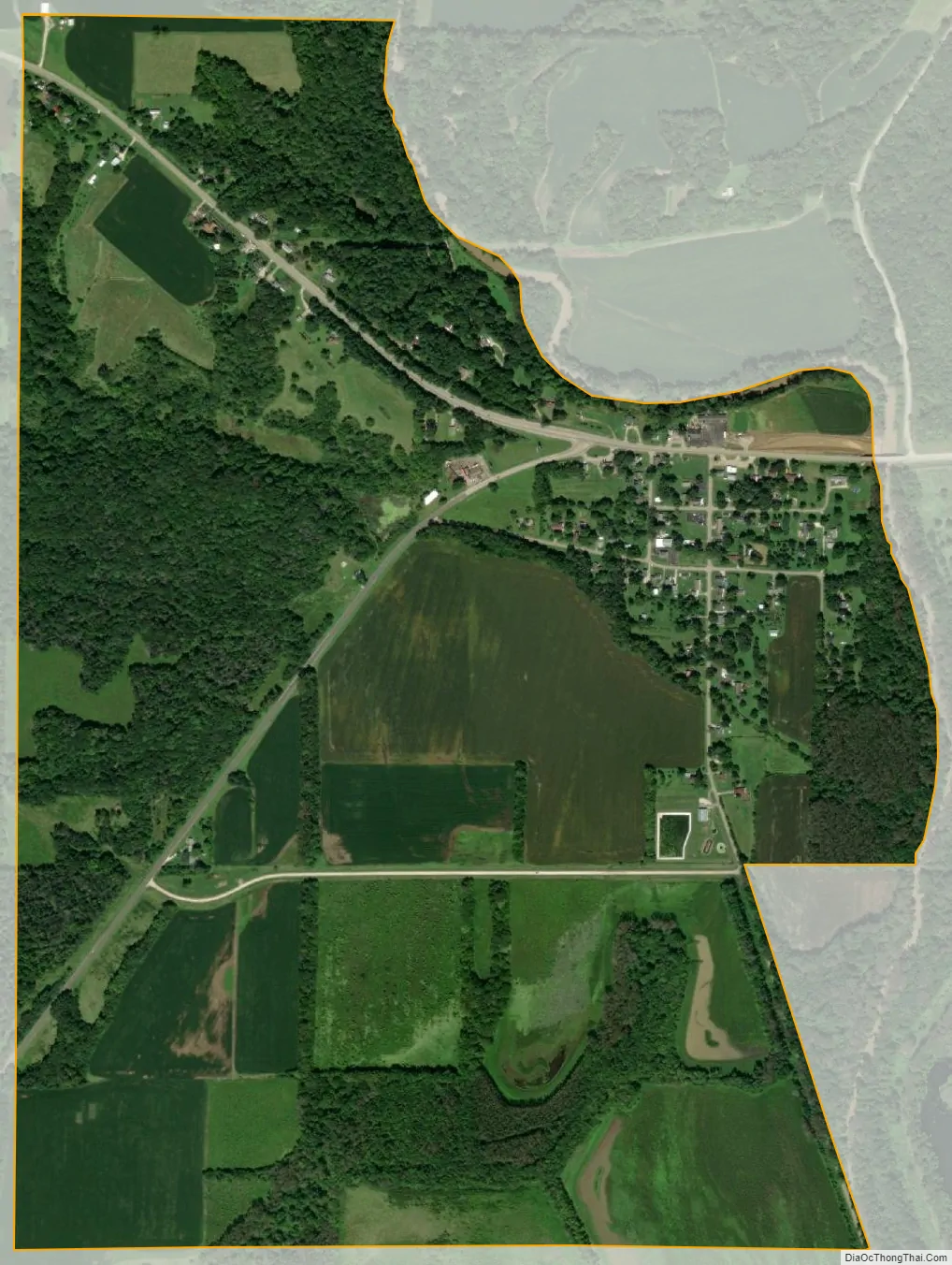
Banner city Satellite Map
Geography
Banner is located in eastern Fulton County on the southwest side of Copperas Creek north of the creek’s mouth with the Illinois River.
U.S. Route 24 passes through Banner, leading northeast 22 miles (35 km) to Peoria and southwest 17 miles (27 km) to Lewistown, the Fulton County seat. Illinois Route 9 leads northwest from Banner 8 miles (13 km) to Canton, the largest city in Fulton County.
According to the 2010 census, Banner has a total area of 1.29 square miles (3.34 km), all land.
See also
Map of Illinois State and its subdivision:- Adams
- Alexander
- Bond
- Boone
- Brown
- Bureau
- Calhoun
- Carroll
- Cass
- Champaign
- Christian
- Clark
- Clay
- Clinton
- Coles
- Cook
- Crawford
- Cumberland
- De Kalb
- De Witt
- Douglas
- Dupage
- Edgar
- Edwards
- Effingham
- Fayette
- Ford
- Franklin
- Fulton
- Gallatin
- Greene
- Grundy
- Hamilton
- Hancock
- Hardin
- Henderson
- Henry
- Iroquois
- Jackson
- Jasper
- Jefferson
- Jersey
- Jo Daviess
- Johnson
- Kane
- Kankakee
- Kendall
- Knox
- La Salle
- Lake
- Lake Michigan
- Lawrence
- Lee
- Livingston
- Logan
- Macon
- Macoupin
- Madison
- Marion
- Marshall
- Mason
- Massac
- McDonough
- McHenry
- McLean
- Menard
- Mercer
- Monroe
- Montgomery
- Morgan
- Moultrie
- Ogle
- Peoria
- Perry
- Piatt
- Pike
- Pope
- Pulaski
- Putnam
- Randolph
- Richland
- Rock Island
- Saint Clair
- Saline
- Sangamon
- Schuyler
- Scott
- Shelby
- Stark
- Stephenson
- Tazewell
- Union
- Vermilion
- Wabash
- Warren
- Washington
- Wayne
- White
- Whiteside
- Will
- Williamson
- Winnebago
- Woodford
- Alabama
- Alaska
- Arizona
- Arkansas
- California
- Colorado
- Connecticut
- Delaware
- District of Columbia
- Florida
- Georgia
- Hawaii
- Idaho
- Illinois
- Indiana
- Iowa
- Kansas
- Kentucky
- Louisiana
- Maine
- Maryland
- Massachusetts
- Michigan
- Minnesota
- Mississippi
- Missouri
- Montana
- Nebraska
- Nevada
- New Hampshire
- New Jersey
- New Mexico
- New York
- North Carolina
- North Dakota
- Ohio
- Oklahoma
- Oregon
- Pennsylvania
- Rhode Island
- South Carolina
- South Dakota
- Tennessee
- Texas
- Utah
- Vermont
- Virginia
- Washington
- West Virginia
- Wisconsin
- Wyoming