Belleville is a city and the county seat of St. Clair County, Illinois, United States. It is located within Greater St. Louis. The population was 42,404 at the 2020 census, making it the most-populated city in Southern Illinois and in the Metro East region of Greater St. Louis. Due to its proximity to Scott Air Force Base, the population receives a boost from military and federal civilian personnel, defense contractors, and military retirees. It is also the seat of the Roman Catholic Diocese of Belleville and the National Shrine of Our Lady of the Snows.
| Name: | Belleville city |
|---|---|
| LSAD Code: | 25 |
| LSAD Description: | city (suffix) |
| State: | Illinois |
| County: | St. Clair County |
| Founded: | 1814 |
| Elevation: | 502 ft (153 m) |
| Total Area: | 23.49 sq mi (60.84 km²) |
| Land Area: | 23.23 sq mi (60.17 km²) |
| Water Area: | 0.26 sq mi (0.67 km²) |
| Total Population: | 42,404 |
| Population Density: | 1,825.16/sq mi (704.71/km²) |
| Area code: | 618 |
| FIPS code: | 1704845 |
| GNISfeature ID: | 2394118 |
| Website: | belleville.net |
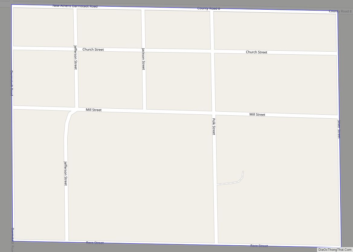
Online Interactive Map
Click on ![]() to view map in "full screen" mode.
to view map in "full screen" mode.
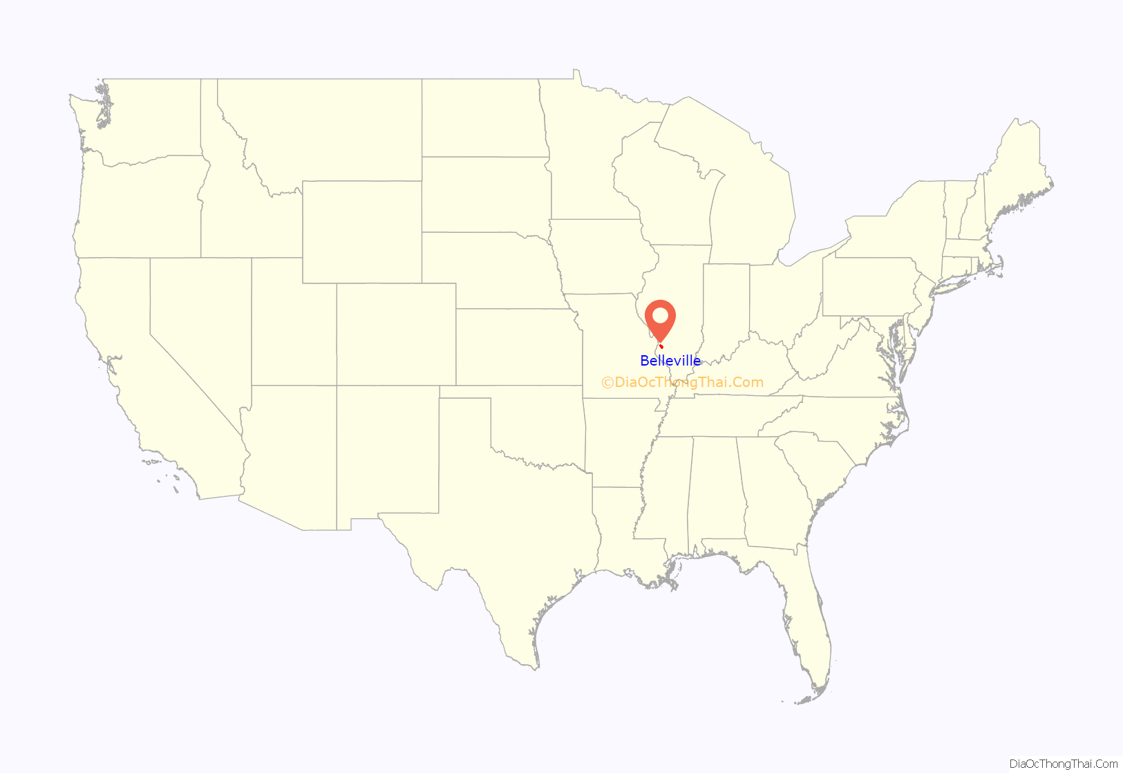
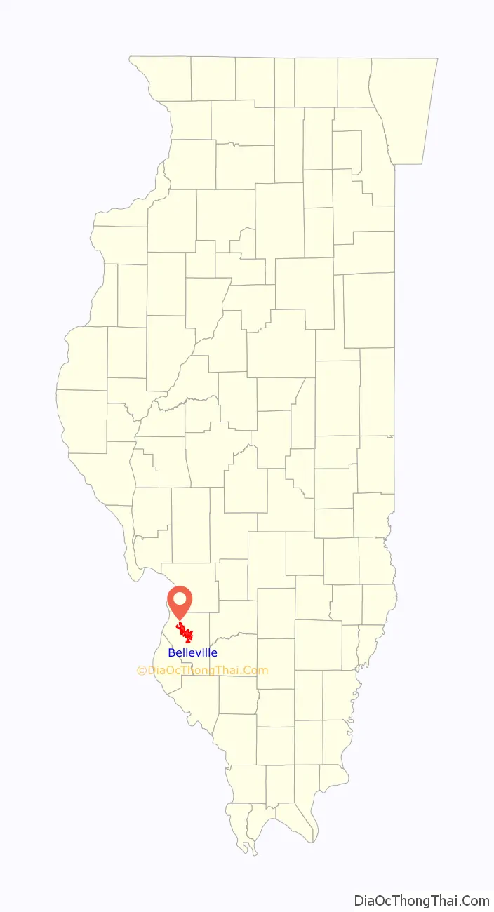
Belleville location map. Where is Belleville city?
History
George Blair named the city of Belleville in 1814. Because Blair donated an acre of his land for the town square and an additional 25 acres (10 ha) adjoining the square for the new county seat, the legislature transferred the county seat from the village of Cahokia. The latter had been established by French colonists as a mission village in the late 17th century.
Belleville was incorporated as a village in 1819, and became a city in 1850. It is said that Blair originally named the city Bellville in honor of Tennessee politician John Bell. In 1863, the name was officially changed to Belleville to distance the city from the now-disgraced Confederate. Major immigration in the mid-19th century to this area occurred following revolutions in Germany, and most of the European-American population is of German ancestry.
Many of the educated Germans fled their homeland after the failure of the German Revolution in 1848. Belleville was the center of the first important German settlement in Illinois. By 1870, an estimated 90% of the city’s population was either German-born or of German descent.
After the Civil War, Belleville became a manufacturing center producing nails, printing presses, gray iron castings, agricultural equipment, and stoves. Belleville became known as “The Stove Capital of the World.” The first brewery in Illinois was established in Belleville. In 1868, Gustav Goelitz founded the candy company that is known today as “Jelly Belly.”
An immense deposit (400,000 acres (1,600 km)) of bituminous coal was found in St. Clair County. By 1874, some farmers had become coal miners. One hundred shaft mines were in operation in and around Belleville. The coal brought the steam railroad to town, which allowed for the transport of many tons of coal to be shipped daily from Belleville to St. Louis on the west side of the Mississippi River, for use in its industries, homes and businesses. Later, Belleville had the first electric trolley in the state.
The first style of houses in Belleville were simple brick cottages, known locally as “German street houses” or “row houses.” Architectural styles flourished in greater variety, featuring American Foursquare, French Second Empire, Greek Revival, Gothic Revival, Italianate, Queen Anne, and Victorian. The Belleville Historic District, which was listed on the National Register of Historic Places in 1976, comprises 73 contributing properties.
The “Old Belleville Historic District,” was defined and recognized in 1974 and is the city’s first historic district. The city also has designated two more historic districts: “Hexenbuckel” (est. in 1991) and “Oakland” (est. in 1995).
Belleville’s early German immigrants were educated, with most of them having graduated from German universities. They were nicknamed “Latin Farmers” because of this. After 1836 Gustav Koerner contributed to establish the city’s public library. The Belleville Public Library is the state’s oldest, predating the Illinois State Library by three years. The German settlers also founded choral and dramatic groups, as well as literary societies. They established one of the first kindergartens in the country here.
The National Civic League recognized Belleville in 2011 as one of the ten recipients of the All-America City Award. Belleville is coterminous with the now defunct Belleville Township.
In 2021, residents of the Illinois city elected Patty Gregory as Belleville’s first female Mayor.
Belleville Road Map
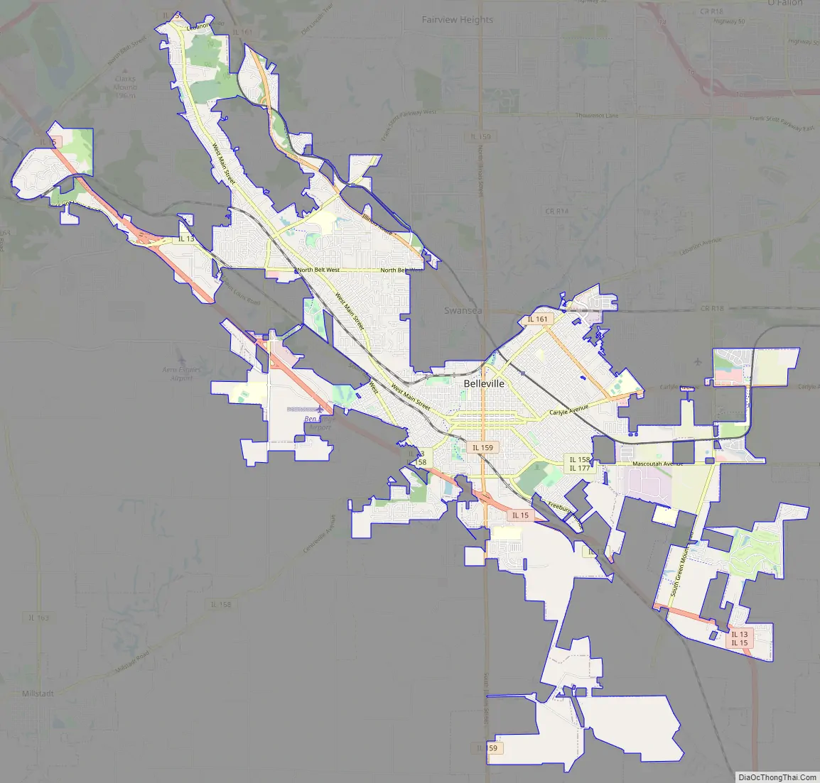
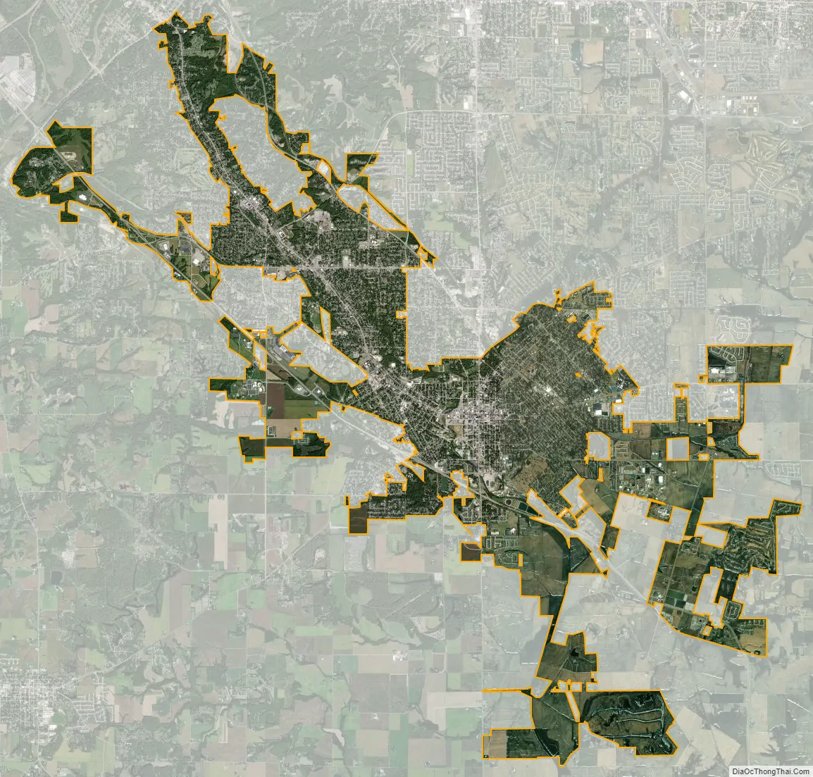
Belleville city Satellite Map
Geography
Belleville is located at 38°31′18″N 89°59′43″W / 38.52167°N 89.99528°W / 38.52167; -89.99528 (38.521567, −89.995208).
According to the 2010 census, Belleville has a total area of 23.49 square miles (60.84 km), of which 22.74 square miles (58.90 km) (or 98.83%) is land and 0.269 square miles (0.70 km) (or 1.17%) is water. Richland Creek flows through much of Belleville.
Climate
See also
Map of Illinois State and its subdivision:- Adams
- Alexander
- Bond
- Boone
- Brown
- Bureau
- Calhoun
- Carroll
- Cass
- Champaign
- Christian
- Clark
- Clay
- Clinton
- Coles
- Cook
- Crawford
- Cumberland
- De Kalb
- De Witt
- Douglas
- Dupage
- Edgar
- Edwards
- Effingham
- Fayette
- Ford
- Franklin
- Fulton
- Gallatin
- Greene
- Grundy
- Hamilton
- Hancock
- Hardin
- Henderson
- Henry
- Iroquois
- Jackson
- Jasper
- Jefferson
- Jersey
- Jo Daviess
- Johnson
- Kane
- Kankakee
- Kendall
- Knox
- La Salle
- Lake
- Lake Michigan
- Lawrence
- Lee
- Livingston
- Logan
- Macon
- Macoupin
- Madison
- Marion
- Marshall
- Mason
- Massac
- McDonough
- McHenry
- McLean
- Menard
- Mercer
- Monroe
- Montgomery
- Morgan
- Moultrie
- Ogle
- Peoria
- Perry
- Piatt
- Pike
- Pope
- Pulaski
- Putnam
- Randolph
- Richland
- Rock Island
- Saint Clair
- Saline
- Sangamon
- Schuyler
- Scott
- Shelby
- Stark
- Stephenson
- Tazewell
- Union
- Vermilion
- Wabash
- Warren
- Washington
- Wayne
- White
- Whiteside
- Will
- Williamson
- Winnebago
- Woodford
- Alabama
- Alaska
- Arizona
- Arkansas
- California
- Colorado
- Connecticut
- Delaware
- District of Columbia
- Florida
- Georgia
- Hawaii
- Idaho
- Illinois
- Indiana
- Iowa
- Kansas
- Kentucky
- Louisiana
- Maine
- Maryland
- Massachusetts
- Michigan
- Minnesota
- Mississippi
- Missouri
- Montana
- Nebraska
- Nevada
- New Hampshire
- New Jersey
- New Mexico
- New York
- North Carolina
- North Dakota
- Ohio
- Oklahoma
- Oregon
- Pennsylvania
- Rhode Island
- South Carolina
- South Dakota
- Tennessee
- Texas
- Utah
- Vermont
- Virginia
- Washington
- West Virginia
- Wisconsin
- Wyoming