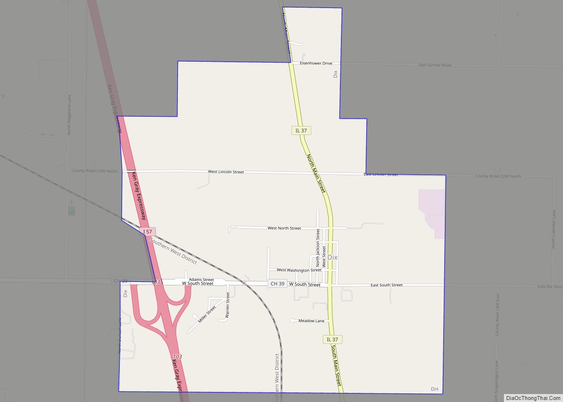
Dix is a village in Jefferson County, Illinois, United States. The population was 461 at the 2010 census. It is part of the Mount Vernon Micropolitan Statistical Area.
| Name: | Dix village |
|---|---|
| LSAD Code: | 47 |
| LSAD Description: | village (suffix) |
| State: | Illinois |
| County: | Jefferson County |
| Elevation: | 587 ft (179 m) |
| Total Area: | 2.08 sq mi (5.40 km²) |
| Land Area: | 2.07 sq mi (5.37 km²) |
| Water Area: | 0.01 sq mi (0.03 km²) |
| Total Population: | 469 |
| Population Density: | 226.13/sq mi (87.32/km²) |
| Area code: | 618 |
| FIPS code: | 1720123 |
| Website: | villageofdixillinois.com |
Online Interactive Map
Click on ![]() to view map in "full screen" mode.
to view map in "full screen" mode.
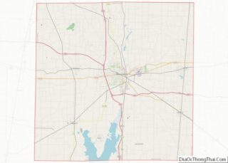
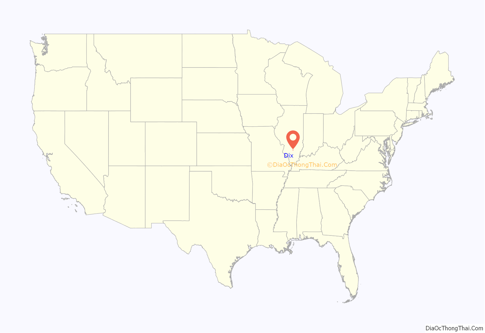
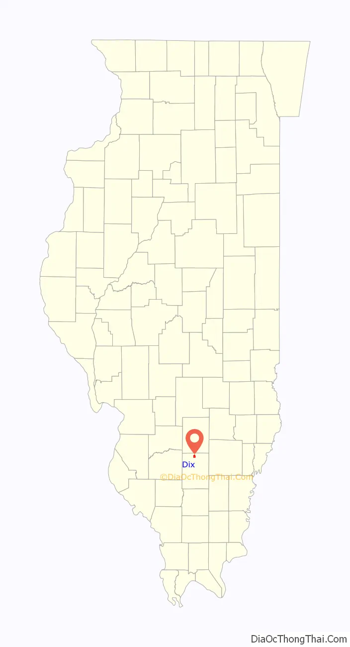
Dix location map. Where is Dix village?
History
Among the first settlers around Dix were two brothers named Andrews (Arba and Nelson?), who came from Rome, New York, around 1830. One of them established a post office called “Jordan’s Prairie”, the name already given to the grassland to the south. Later he platted out a village, which he called “Rome”, after his home town in New York. The post office was moved into the village in 1852, and the name changed.
Hiram Milburn of Kell, Illinois, moved to Rome between 1853 and 1855. Milburn built a storehouse in 1853 and a hotel in 1854. It is said that during the construction of the hotel, a wind blew the structure down into a pile, while two men were on the joists, but nobody was hurt. In 1855 Milburn purchased Leuty’s Mill and moved it to Rome.
Although Rome Township still exists, the name of the post office was changed to “Dix” in 1865. There was and still is another Rome, Illinois, and the Postal Service insisted that the name of this village be changed. The community incorporated as the village of Rome in 1873. The name of the village was not legally changed to Dix until the 1960s.
There are several stories as to the origin of the name “Dix”. One is that the town was renamed in honor of General John Adams Dix. At the outbreak of the Civil War, General Dix sent a telegram to his agents in New Orleans stating: “If any man pulls down the American flag, shoot him on the spot.” Although the telegram was intercepted by Confederate agents and never reached its intended recipient, the text reached the press, and General Dix became one of the first heroes in the North.
Dix is served by the Norfolk Southern Railway. This was built around 1890. The rail line comes from the St. Louis area and turns southeast at Dix. It follows the west side of Casey Creek down to Mt. Vernon.
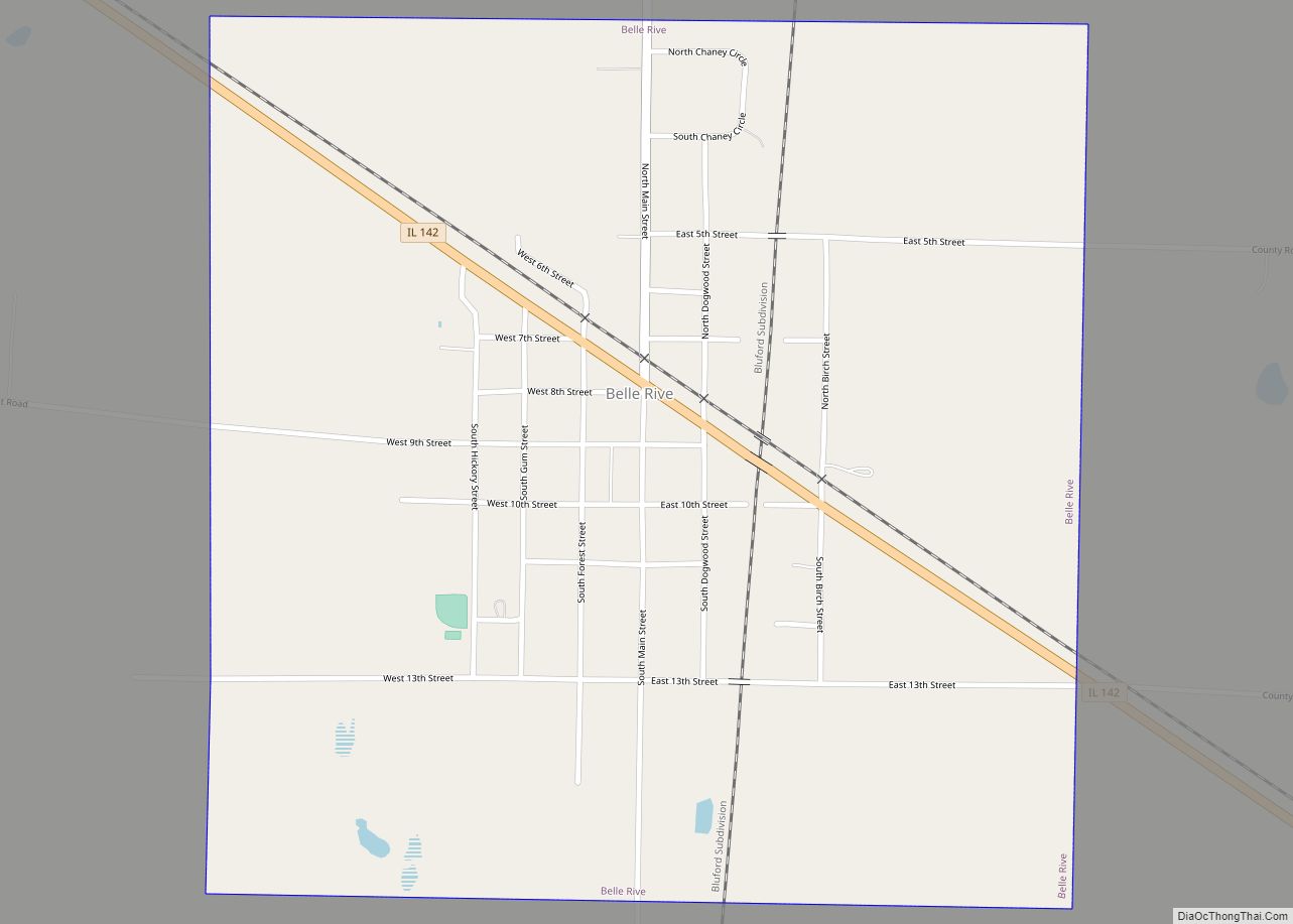
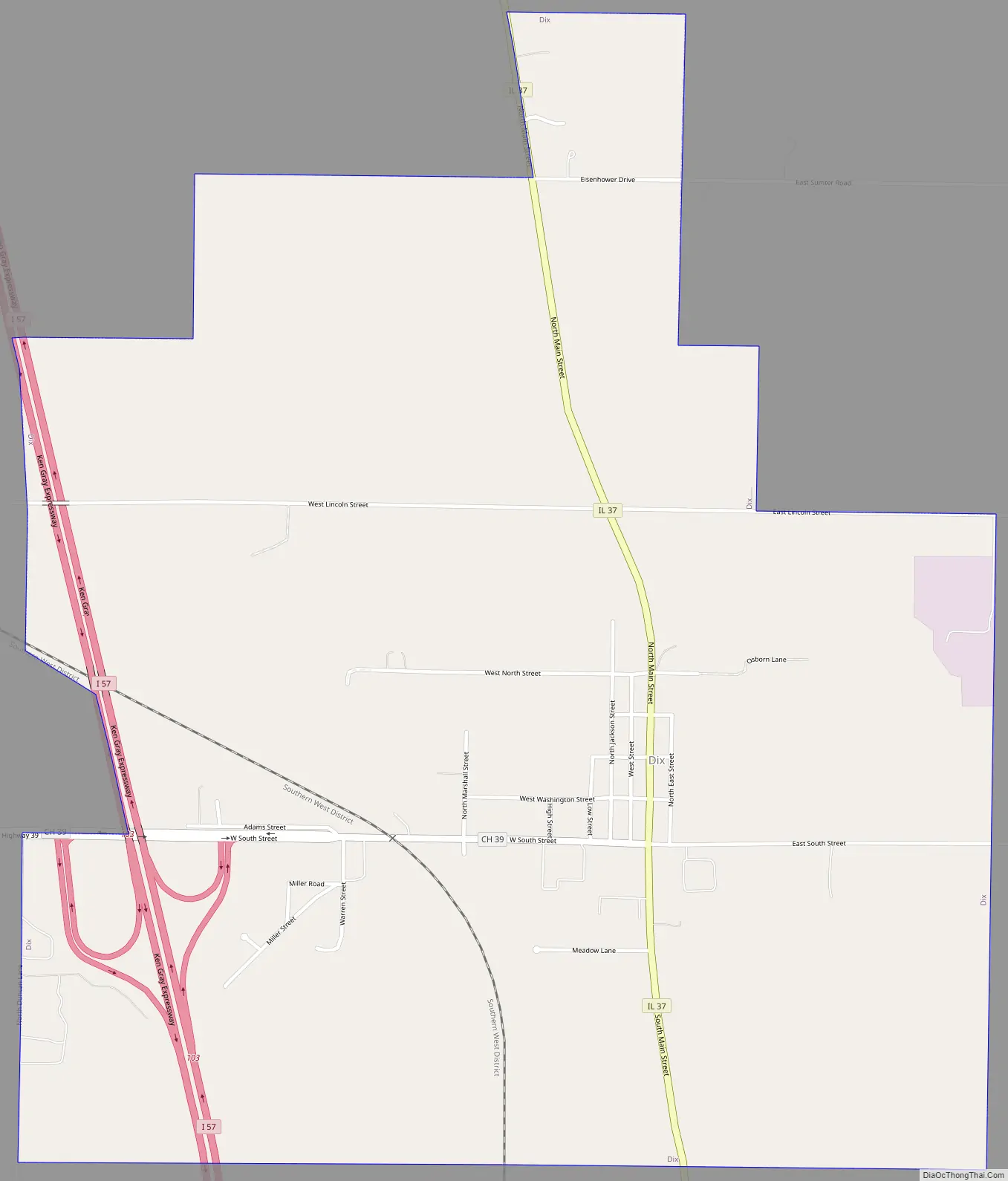
Dix Road Map
Dix city Satellite Map

Geography
Dix is located in northern Jefferson County at 38°26′26″N 88°56′33″W / 38.44056°N 88.94250°W / 38.44056; -88.94250 (38.440676, -88.942463). Illinois Route 37 is the village’s Main Street, leading south 9 miles (14 km) to Mount Vernon, the county seat, and north 13 miles (21 km) to Salem. Interstate 57 passes through the western side of the village, with access from Exit 103. I-57 leads south 7 miles (11 km) to Interstate 64 at Mount Vernon and north 55 miles (89 km) to Interstate 70 at Effingham.
According to the 2010 census, Dix has a total area of 2.1 square miles (5.44 km), of which 2.09 square miles (5.41 km) (or 99.52%) is land and 0.01 square miles (0.03 km) (or 0.48%) is water. Dix is located on high ground that marks the boundary between the Big Muddy River and its tributary, Casey Creek.
Today Dix is an exit on Interstate 57, a major north/south roadway. When it was founded, however, it was on the Goshen Road, which was the main east/west road in Illinois, running from Old Shawneetown on the Ohio River to near East St. Louis on the Mississippi.
See also
Map of Illinois State and its subdivision:- Adams
- Alexander
- Bond
- Boone
- Brown
- Bureau
- Calhoun
- Carroll
- Cass
- Champaign
- Christian
- Clark
- Clay
- Clinton
- Coles
- Cook
- Crawford
- Cumberland
- De Kalb
- De Witt
- Douglas
- Dupage
- Edgar
- Edwards
- Effingham
- Fayette
- Ford
- Franklin
- Fulton
- Gallatin
- Greene
- Grundy
- Hamilton
- Hancock
- Hardin
- Henderson
- Henry
- Iroquois
- Jackson
- Jasper
- Jefferson
- Jersey
- Jo Daviess
- Johnson
- Kane
- Kankakee
- Kendall
- Knox
- La Salle
- Lake
- Lake Michigan
- Lawrence
- Lee
- Livingston
- Logan
- Macon
- Macoupin
- Madison
- Marion
- Marshall
- Mason
- Massac
- McDonough
- McHenry
- McLean
- Menard
- Mercer
- Monroe
- Montgomery
- Morgan
- Moultrie
- Ogle
- Peoria
- Perry
- Piatt
- Pike
- Pope
- Pulaski
- Putnam
- Randolph
- Richland
- Rock Island
- Saint Clair
- Saline
- Sangamon
- Schuyler
- Scott
- Shelby
- Stark
- Stephenson
- Tazewell
- Union
- Vermilion
- Wabash
- Warren
- Washington
- Wayne
- White
- Whiteside
- Will
- Williamson
- Winnebago
- Woodford
- Alabama
- Alaska
- Arizona
- Arkansas
- California
- Colorado
- Connecticut
- Delaware
- District of Columbia
- Florida
- Georgia
- Hawaii
- Idaho
- Illinois
- Indiana
- Iowa
- Kansas
- Kentucky
- Louisiana
- Maine
- Maryland
- Massachusetts
- Michigan
- Minnesota
- Mississippi
- Missouri
- Montana
- Nebraska
- Nevada
- New Hampshire
- New Jersey
- New Mexico
- New York
- North Carolina
- North Dakota
- Ohio
- Oklahoma
- Oregon
- Pennsylvania
- Rhode Island
- South Carolina
- South Dakota
- Tennessee
- Texas
- Utah
- Vermont
- Virginia
- Washington
- West Virginia
- Wisconsin
- Wyoming