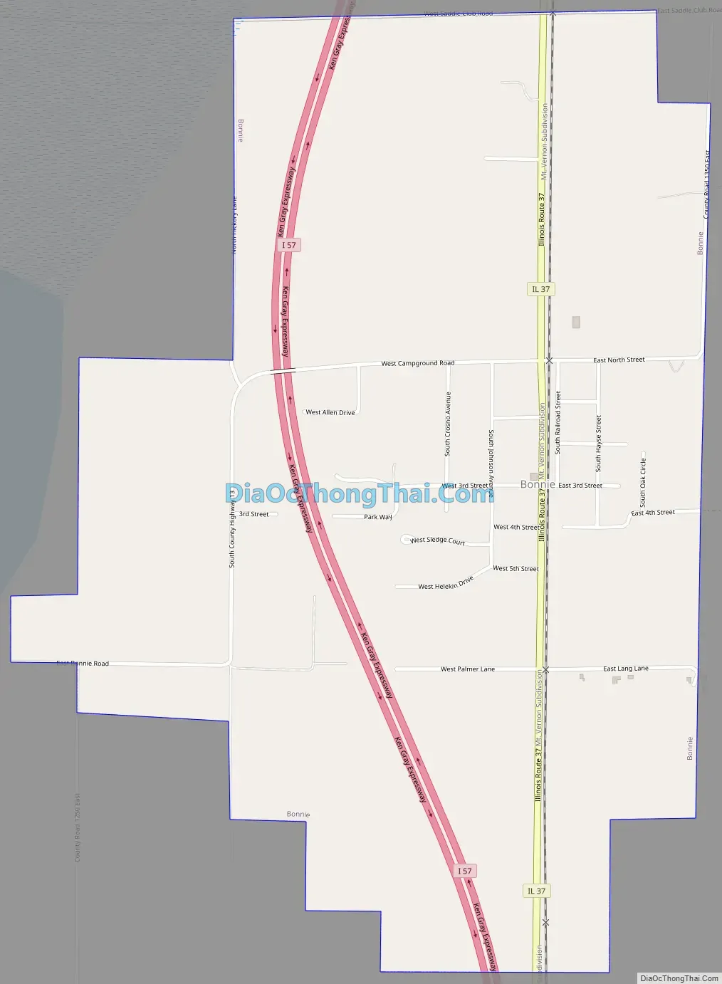
Bonnie is a village located in the southern part of Jefferson County, Illinois. Bonnie had a population of 397 in the 2010 census, down from 424 in the 2000 census. It is part of the Mount Vernon Micropolitan Statistical Area.
| Name: | Bonnie village |
|---|---|
| LSAD Code: | 47 |
| LSAD Description: | village (suffix) |
| State: | Illinois |
| County: | Jefferson County |
| Elevation: | 440 ft (130 m) |
| Total Area: | 1.27 sq mi (3.30 km²) |
| Land Area: | 1.27 sq mi (3.30 km²) |
| Water Area: | 0.00 sq mi (0.00 km²) |
| Total Population: | 374 |
| Population Density: | 293.33/sq mi (113.22/km²) |
| Area code: | 618 |
| FIPS code: | 1707263 |
| Website: | www.villageofbonnie.com |
Online Interactive Map
Click on ![]() to view map in "full screen" mode.
to view map in "full screen" mode.
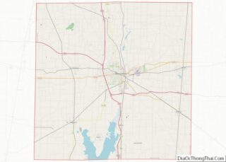
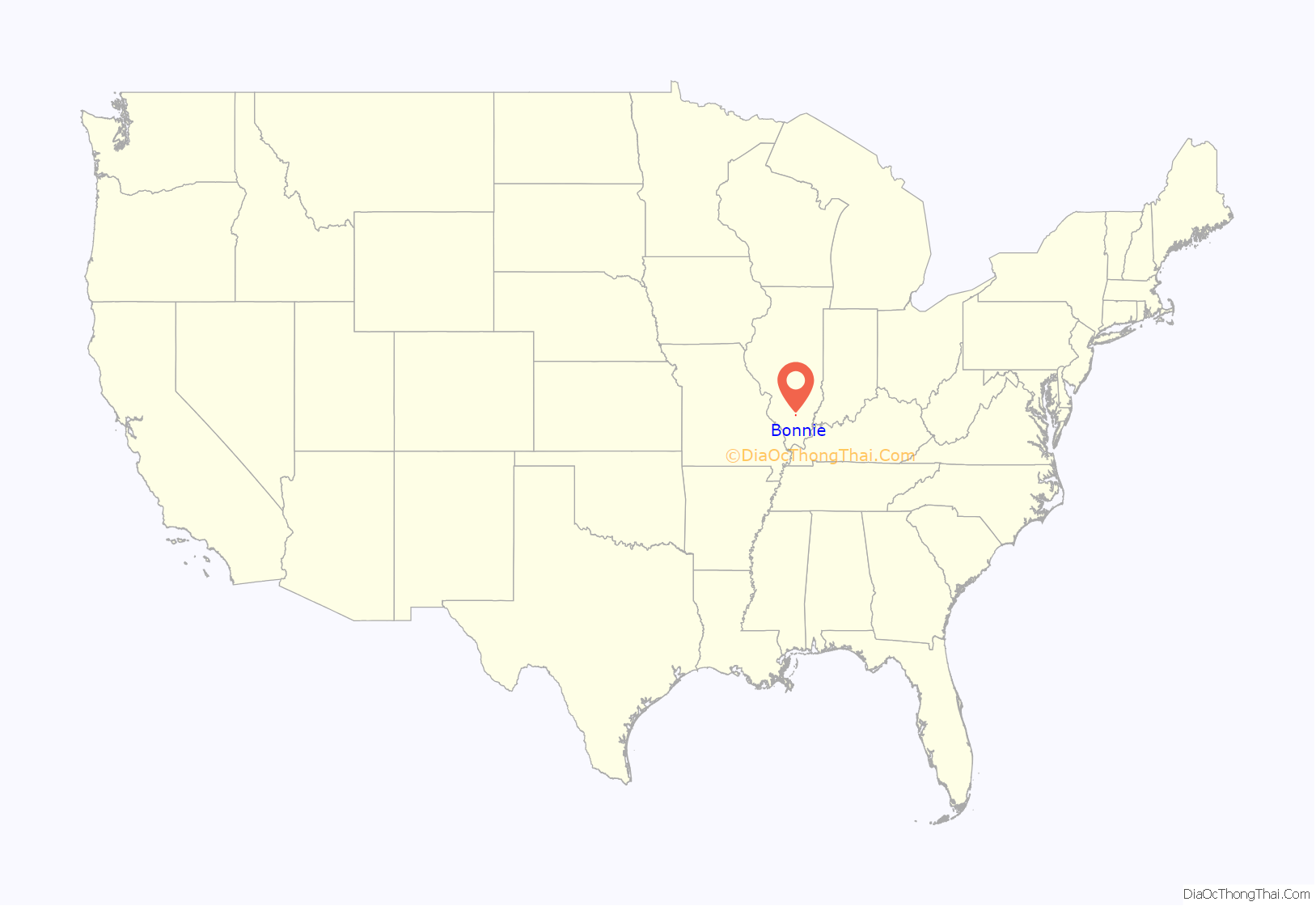
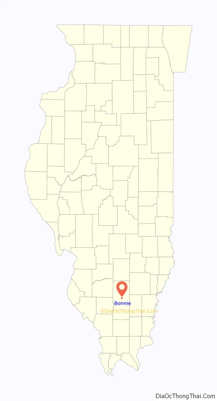
Bonnie location map. Where is Bonnie village?
History
The first settlement in this area was Spring Garden, about four miles southeast of Bonnie. There were several springs in the area. Early in the 19th century, Uriah Compton walled them up and built a resort called “Compton’s Springs”. In 1848, the village of Spring Garden was platted next to the resort. Spring Garden grew rapidly, becoming the second largest settlement in the County, even having a high school by 1888. In 1905, however, the Chicago and Eastern Illinois Railroad was built about three miles to the west. Spring Garden began a long decline as the business and population shifted to the rail depots at Bonnie and Ina. George Washington Hayes (1842–1927) donated some of the land originally making up Bonnie.
The Bonnie Campground is located to the west of Bonnie. This campground has been the scene of large religious outdoor gatherings since late in the 19th century.
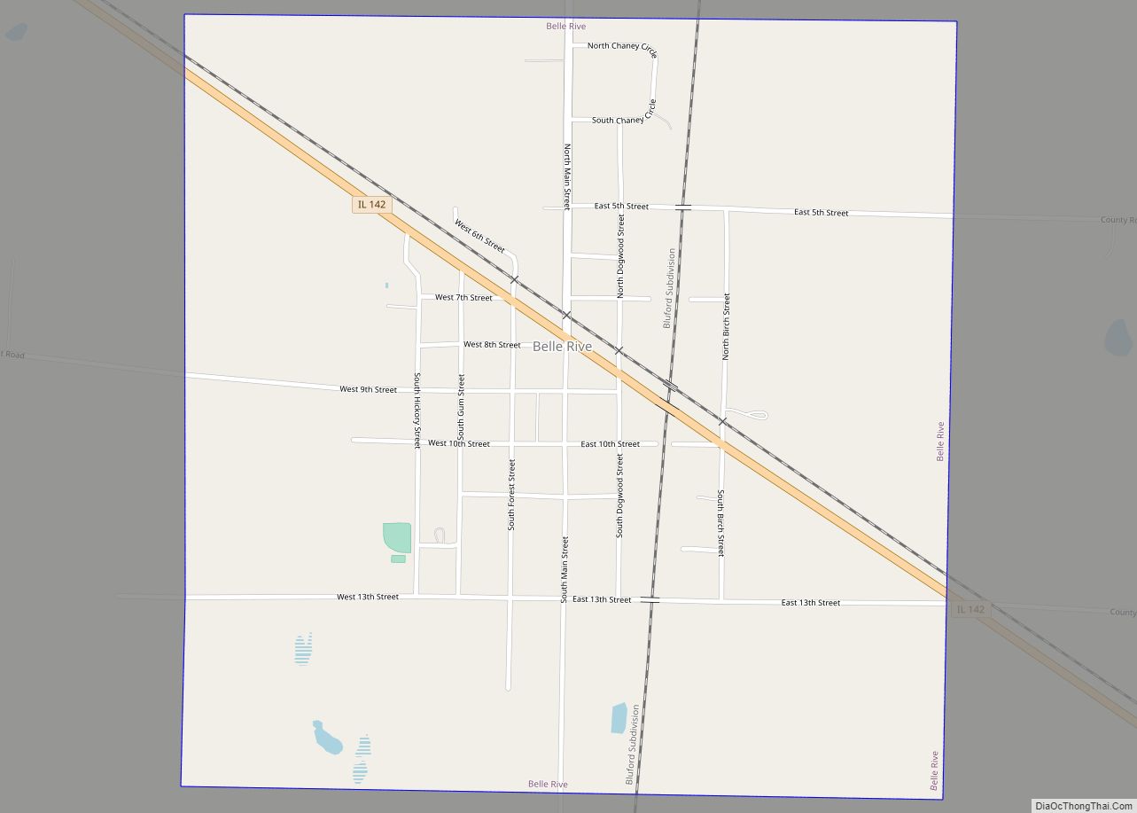
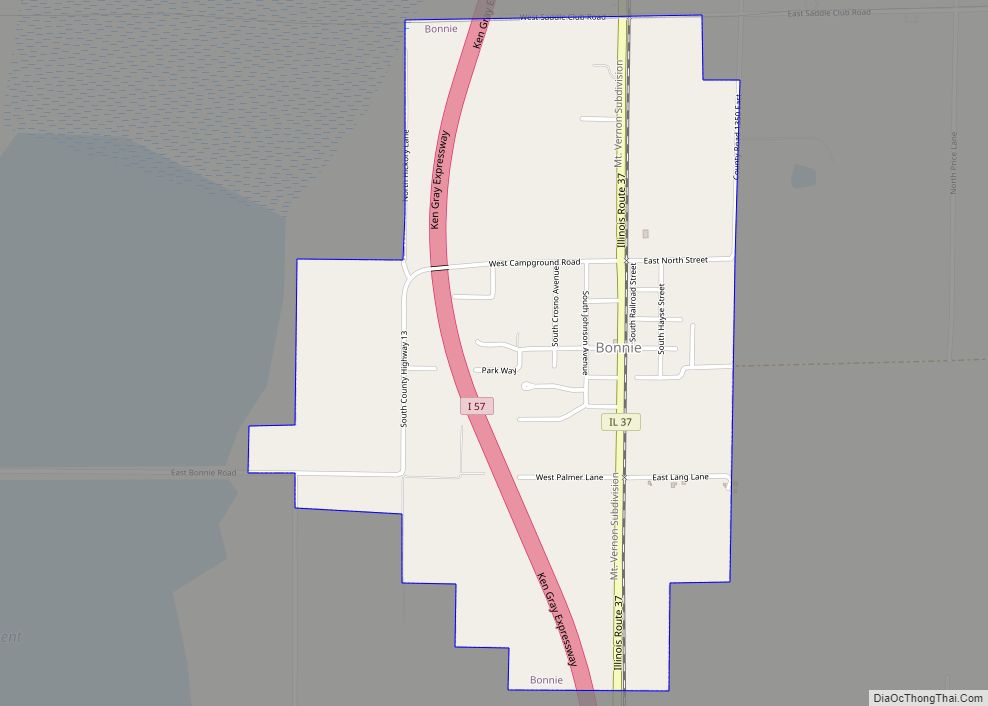
Bonnie Road Map
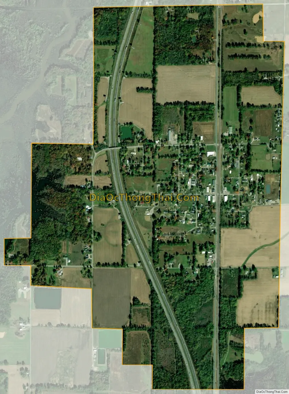
Bonnie city Satellite Map
Geography
According to the 2010 census, Bonnie has a total area of 1.231 square miles (3.19 km), of which 1.23 square miles (3.19 km) (or 99.92%) is land and 0.001 square miles (0.00 km) (or 0.08%) is water.
See also
Map of Illinois State and its subdivision:- Adams
- Alexander
- Bond
- Boone
- Brown
- Bureau
- Calhoun
- Carroll
- Cass
- Champaign
- Christian
- Clark
- Clay
- Clinton
- Coles
- Cook
- Crawford
- Cumberland
- De Kalb
- De Witt
- Douglas
- Dupage
- Edgar
- Edwards
- Effingham
- Fayette
- Ford
- Franklin
- Fulton
- Gallatin
- Greene
- Grundy
- Hamilton
- Hancock
- Hardin
- Henderson
- Henry
- Iroquois
- Jackson
- Jasper
- Jefferson
- Jersey
- Jo Daviess
- Johnson
- Kane
- Kankakee
- Kendall
- Knox
- La Salle
- Lake
- Lake Michigan
- Lawrence
- Lee
- Livingston
- Logan
- Macon
- Macoupin
- Madison
- Marion
- Marshall
- Mason
- Massac
- McDonough
- McHenry
- McLean
- Menard
- Mercer
- Monroe
- Montgomery
- Morgan
- Moultrie
- Ogle
- Peoria
- Perry
- Piatt
- Pike
- Pope
- Pulaski
- Putnam
- Randolph
- Richland
- Rock Island
- Saint Clair
- Saline
- Sangamon
- Schuyler
- Scott
- Shelby
- Stark
- Stephenson
- Tazewell
- Union
- Vermilion
- Wabash
- Warren
- Washington
- Wayne
- White
- Whiteside
- Will
- Williamson
- Winnebago
- Woodford
- Alabama
- Alaska
- Arizona
- Arkansas
- California
- Colorado
- Connecticut
- Delaware
- District of Columbia
- Florida
- Georgia
- Hawaii
- Idaho
- Illinois
- Indiana
- Iowa
- Kansas
- Kentucky
- Louisiana
- Maine
- Maryland
- Massachusetts
- Michigan
- Minnesota
- Mississippi
- Missouri
- Montana
- Nebraska
- Nevada
- New Hampshire
- New Jersey
- New Mexico
- New York
- North Carolina
- North Dakota
- Ohio
- Oklahoma
- Oregon
- Pennsylvania
- Rhode Island
- South Carolina
- South Dakota
- Tennessee
- Texas
- Utah
- Vermont
- Virginia
- Washington
- West Virginia
- Wisconsin
- Wyoming