Brighton is a village located mostly in Macoupin County and partially in Jersey County, Illinois, United States. As of the 2020 census, the village had a population of 2,221. The village’s current mayor is Matthew P. Kasten.
Brighton is a part of the Metro East region of the St. Louis Metropolitan Statistical Area.
| Name: | Brighton village |
|---|---|
| LSAD Code: | 47 |
| LSAD Description: | village (suffix) |
| State: | Illinois |
| County: | Jersey County, Macoupin County |
| Elevation: | 663 ft (202 m) |
| Total Area: | 1.96 sq mi (5.08 km²) |
| Land Area: | 1.92 sq mi (4.98 km²) |
| Water Area: | 0.04 sq mi (0.10 km²) |
| Total Population: | 2,221 |
| Population Density: | 1,156.17/sq mi (446.33/km²) |
| ZIP code: | 62012 |
| Area code: | 618 |
| FIPS code: | 1708264 |
| GNISfeature ID: | 2397454 |
| Website: | www.brightonil.com |
Online Interactive Map
Click on ![]() to view map in "full screen" mode.
to view map in "full screen" mode.
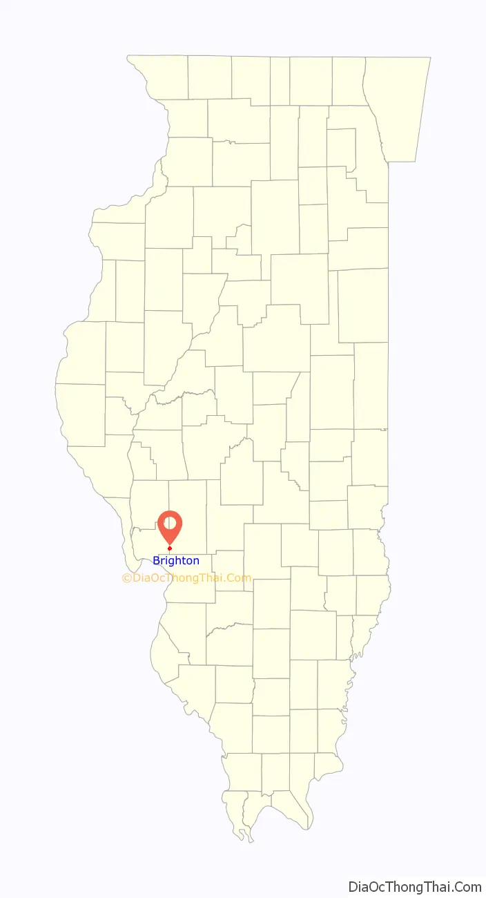
Brighton location map. Where is Brighton village?
History
Brighton is a small community that dates back to the early 19th century, when settlers began the transformation of the Illinois prairie into productive farmland. The village was named after Brighton, Massachusetts. A post office was opened in 1837, and the village was incorporated in 1869. Brighton is noted for its five-star historic museum.
Brighton currently has two restaurants and one traffic signal.
Brighton Road Map
Brighton city Satellite Map
Geography
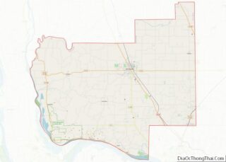
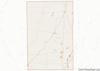
Brighton is located in southwestern Macoupin County and eastern Jersey County at 39°2′22″N 90°8′23″W / 39.03944°N 90.13972°W / 39.03944; -90.13972 (39.039357, -90.139645). The village center and most of its area are within Macoupin County. Some rural residents of Madison County have Brighton mailing addresses.
Illinois Routes 111 and 267 pass jointly through the west side of the village, leading north 9 miles (14 km) to Medora and south 6 miles (10 km) to Godfrey. Carlinville, the Macoupin county seat, is 26 miles (42 km) to the northeast, while Jerseyville, the Jersey county seat, is 13 miles (21 km) to the northwest.
According to the U.S. Census Bureau, the village of Brighton has a total area of 1.96 square miles (5.08 km), of which 1.92 square miles (4.97 km) are land and 0.04 square miles (0.10 km), or 1.99%, are water.
See also
Map of Illinois State and its subdivision:- Adams
- Alexander
- Bond
- Boone
- Brown
- Bureau
- Calhoun
- Carroll
- Cass
- Champaign
- Christian
- Clark
- Clay
- Clinton
- Coles
- Cook
- Crawford
- Cumberland
- De Kalb
- De Witt
- Douglas
- Dupage
- Edgar
- Edwards
- Effingham
- Fayette
- Ford
- Franklin
- Fulton
- Gallatin
- Greene
- Grundy
- Hamilton
- Hancock
- Hardin
- Henderson
- Henry
- Iroquois
- Jackson
- Jasper
- Jefferson
- Jersey
- Jo Daviess
- Johnson
- Kane
- Kankakee
- Kendall
- Knox
- La Salle
- Lake
- Lake Michigan
- Lawrence
- Lee
- Livingston
- Logan
- Macon
- Macoupin
- Madison
- Marion
- Marshall
- Mason
- Massac
- McDonough
- McHenry
- McLean
- Menard
- Mercer
- Monroe
- Montgomery
- Morgan
- Moultrie
- Ogle
- Peoria
- Perry
- Piatt
- Pike
- Pope
- Pulaski
- Putnam
- Randolph
- Richland
- Rock Island
- Saint Clair
- Saline
- Sangamon
- Schuyler
- Scott
- Shelby
- Stark
- Stephenson
- Tazewell
- Union
- Vermilion
- Wabash
- Warren
- Washington
- Wayne
- White
- Whiteside
- Will
- Williamson
- Winnebago
- Woodford
- Alabama
- Alaska
- Arizona
- Arkansas
- California
- Colorado
- Connecticut
- Delaware
- District of Columbia
- Florida
- Georgia
- Hawaii
- Idaho
- Illinois
- Indiana
- Iowa
- Kansas
- Kentucky
- Louisiana
- Maine
- Maryland
- Massachusetts
- Michigan
- Minnesota
- Mississippi
- Missouri
- Montana
- Nebraska
- Nevada
- New Hampshire
- New Jersey
- New Mexico
- New York
- North Carolina
- North Dakota
- Ohio
- Oklahoma
- Oregon
- Pennsylvania
- Rhode Island
- South Carolina
- South Dakota
- Tennessee
- Texas
- Utah
- Vermont
- Virginia
- Washington
- West Virginia
- Wisconsin
- Wyoming

