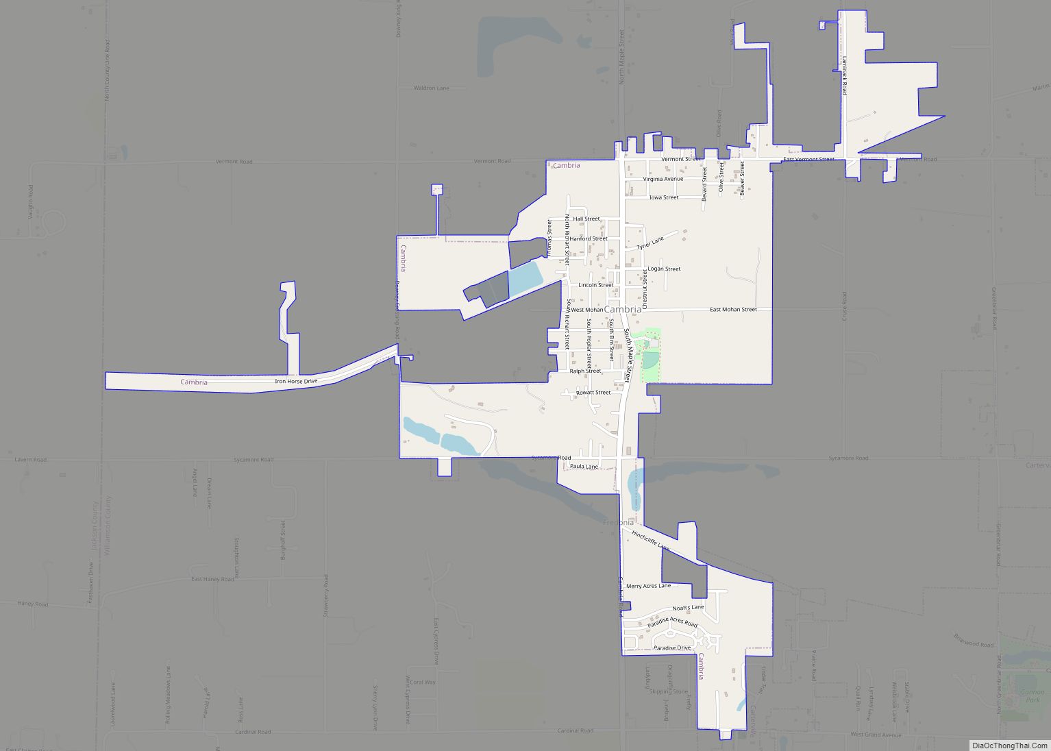
Cambria is a village in northwestern Williamson County, Illinois, United States. The population was 1,228 at the 2010 census.
| Name: | Cambria village |
|---|---|
| LSAD Code: | 47 |
| LSAD Description: | village (suffix) |
| State: | Illinois |
| County: | Williamson County |
| Elevation: | 427 ft (130 m) |
| Total Area: | 1.46 sq mi (3.78 km²) |
| Land Area: | 1.42 sq mi (3.66 km²) |
| Water Area: | 0.04 sq mi (0.11 km²) |
| Total Population: | 1,505 |
| Population Density: | 1,063.60/sq mi (410.67/km²) |
| ZIP code: | 62915 |
| Area code: | 618 |
| FIPS code: | 1710630 |
| GNISfeature ID: | 2397537 |
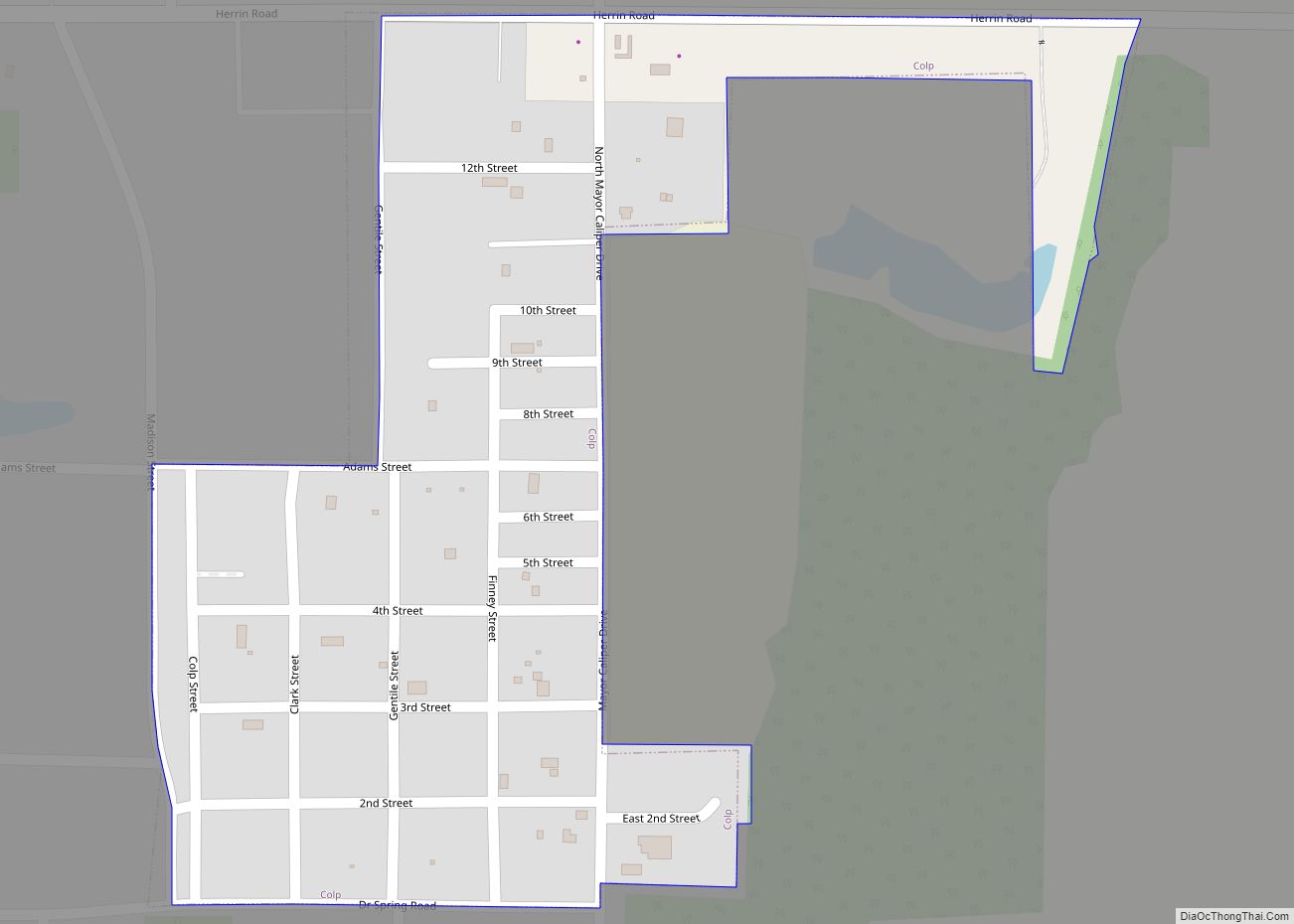
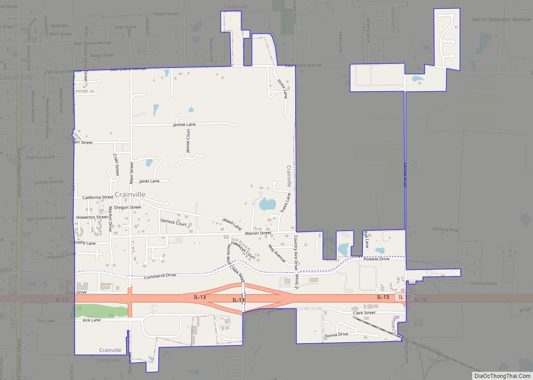
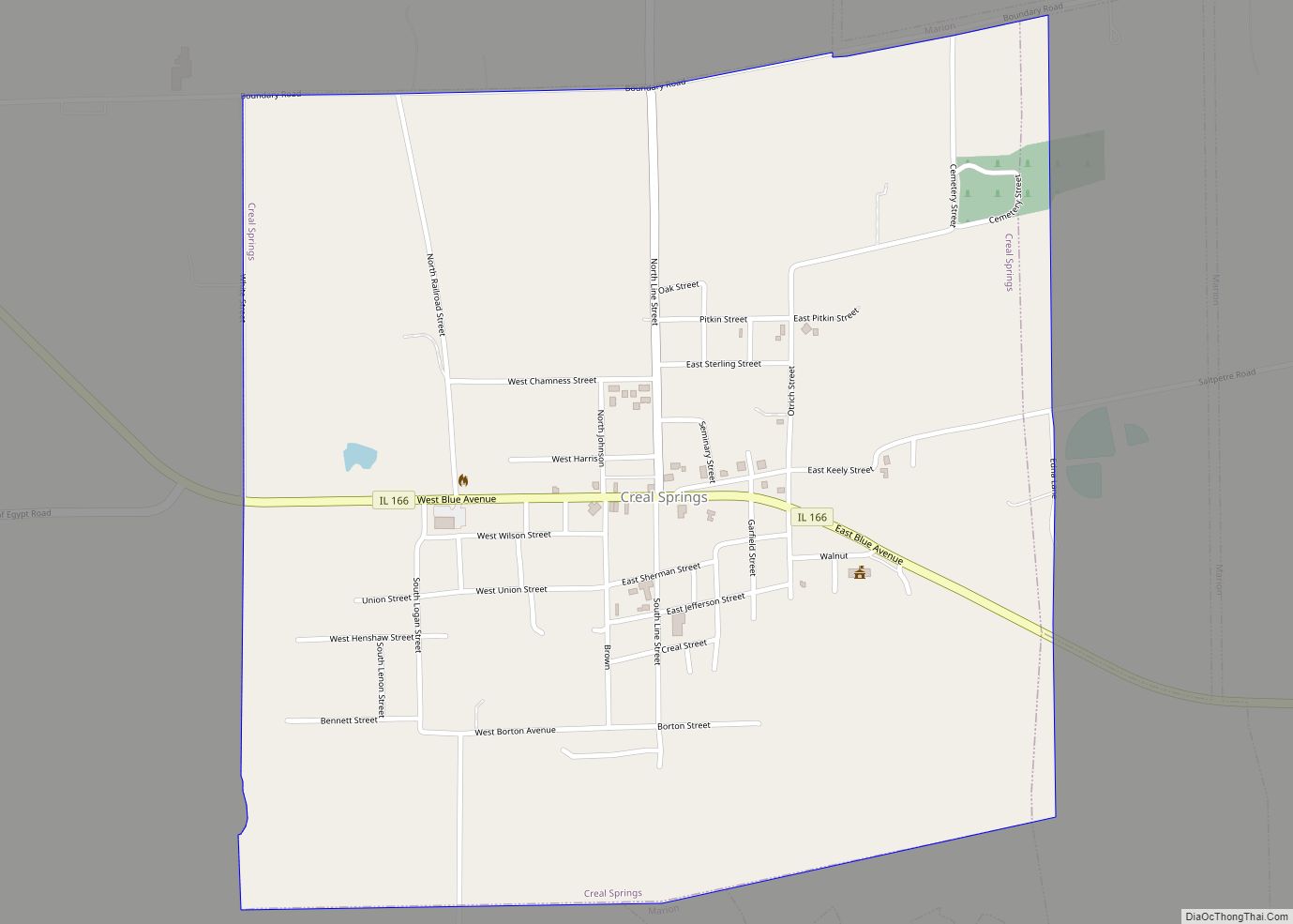
Online Interactive Map
Click on ![]() to view map in "full screen" mode.
to view map in "full screen" mode.
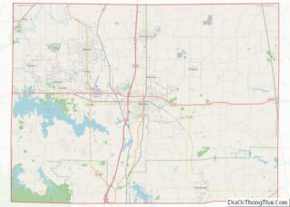
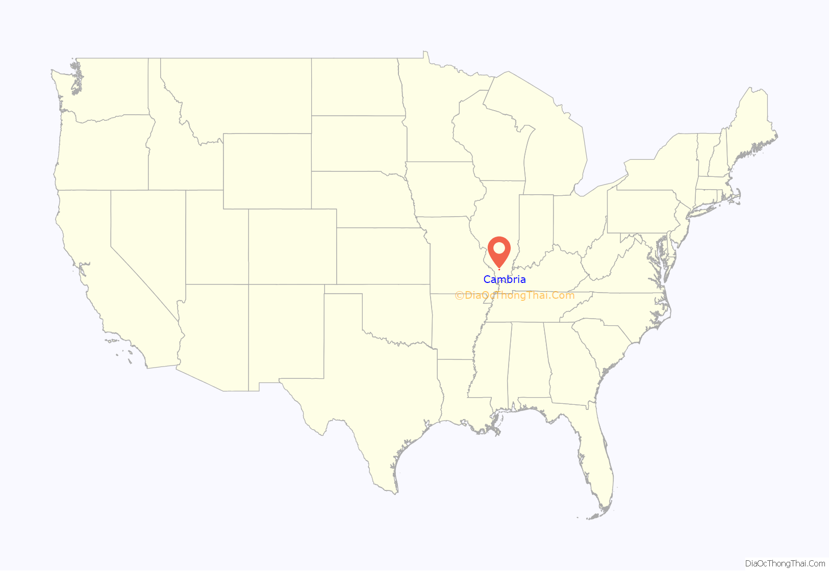
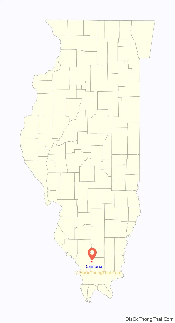
Cambria location map. Where is Cambria village?
History
Cambria was established in the early 1900s by brothers Tom and Evan John, owners of the Carterville and Big Muddy Coal Company, which had opened a mine in the area around 1904. The community was originally known as Lauder, but was changed to Cambria, the old Latin name for Wales, from which the John brothers hailed. A post office known as Reeves opened in 1905, but its name was changed to Cambria in 1911.
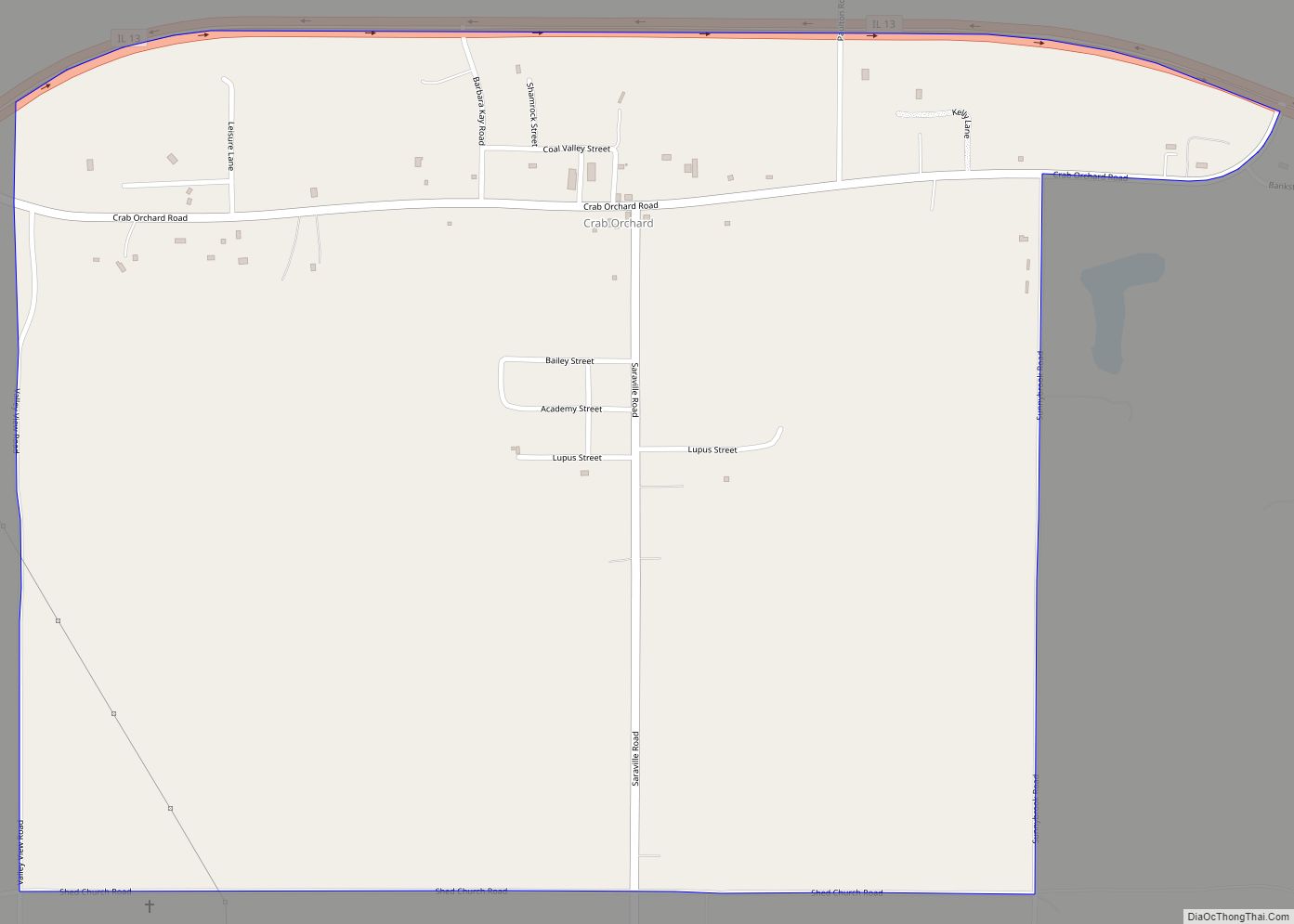
Cambria Road Map
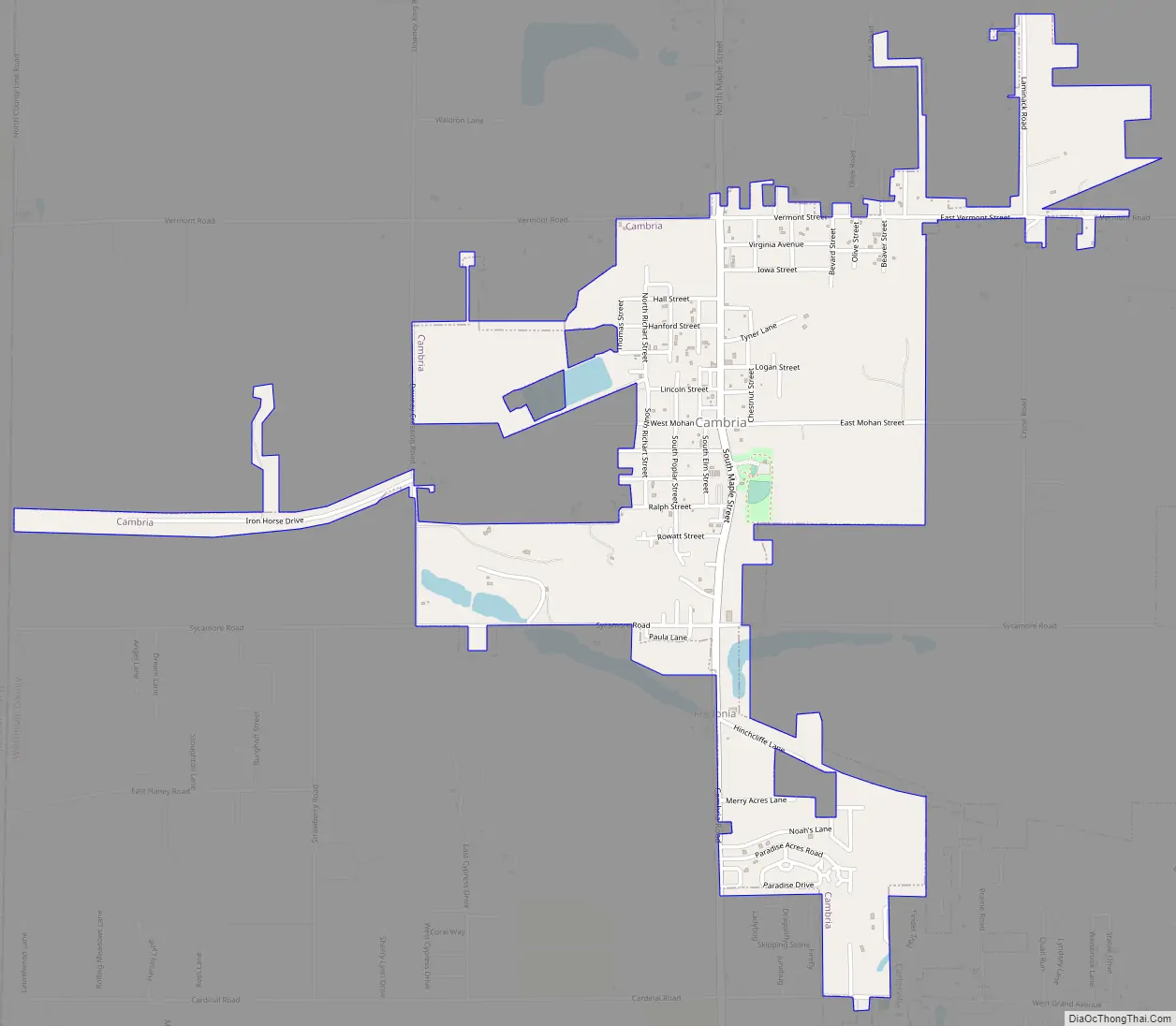
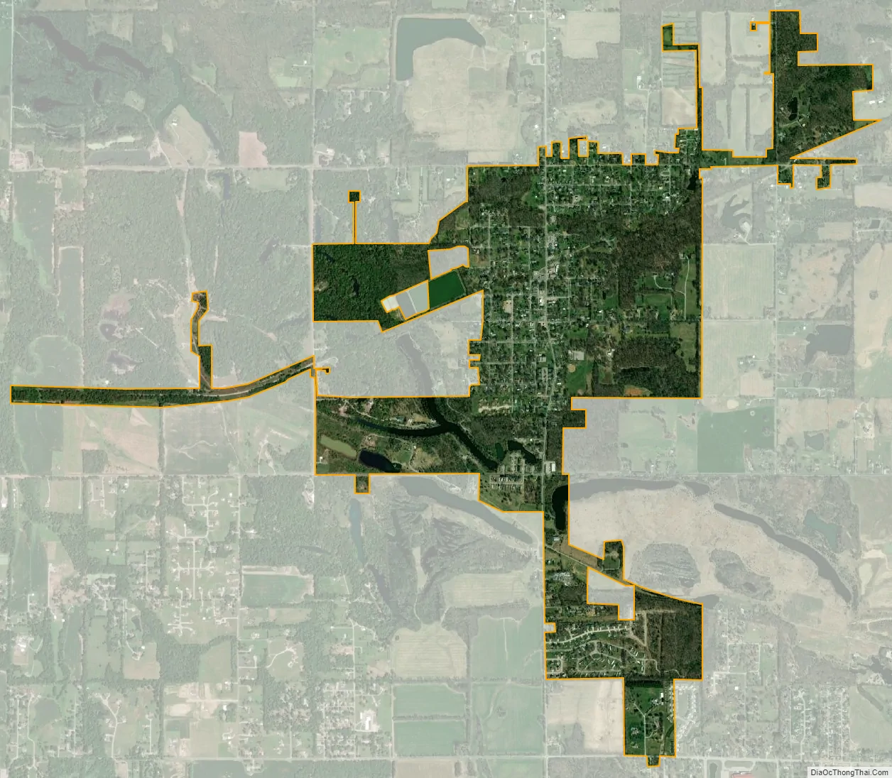
Cambria city Satellite Map
Geography
Cambria is located at 37°46′59″N 89°7′7″W / 37.78306°N 89.11861°W / 37.78306; -89.11861 (37.783054, -89.118533).
According to the 2010 census, Cambria has a total area of 1.403 square miles (3.63 km), of which 1.36 square miles (3.52 km) (or 96.94%) is land and 0.043 square miles (0.11 km) (or 3.06%) is water.
See also
Map of Illinois State and its subdivision:- Adams
- Alexander
- Bond
- Boone
- Brown
- Bureau
- Calhoun
- Carroll
- Cass
- Champaign
- Christian
- Clark
- Clay
- Clinton
- Coles
- Cook
- Crawford
- Cumberland
- De Kalb
- De Witt
- Douglas
- Dupage
- Edgar
- Edwards
- Effingham
- Fayette
- Ford
- Franklin
- Fulton
- Gallatin
- Greene
- Grundy
- Hamilton
- Hancock
- Hardin
- Henderson
- Henry
- Iroquois
- Jackson
- Jasper
- Jefferson
- Jersey
- Jo Daviess
- Johnson
- Kane
- Kankakee
- Kendall
- Knox
- La Salle
- Lake
- Lake Michigan
- Lawrence
- Lee
- Livingston
- Logan
- Macon
- Macoupin
- Madison
- Marion
- Marshall
- Mason
- Massac
- McDonough
- McHenry
- McLean
- Menard
- Mercer
- Monroe
- Montgomery
- Morgan
- Moultrie
- Ogle
- Peoria
- Perry
- Piatt
- Pike
- Pope
- Pulaski
- Putnam
- Randolph
- Richland
- Rock Island
- Saint Clair
- Saline
- Sangamon
- Schuyler
- Scott
- Shelby
- Stark
- Stephenson
- Tazewell
- Union
- Vermilion
- Wabash
- Warren
- Washington
- Wayne
- White
- Whiteside
- Will
- Williamson
- Winnebago
- Woodford
- Alabama
- Alaska
- Arizona
- Arkansas
- California
- Colorado
- Connecticut
- Delaware
- District of Columbia
- Florida
- Georgia
- Hawaii
- Idaho
- Illinois
- Indiana
- Iowa
- Kansas
- Kentucky
- Louisiana
- Maine
- Maryland
- Massachusetts
- Michigan
- Minnesota
- Mississippi
- Missouri
- Montana
- Nebraska
- Nevada
- New Hampshire
- New Jersey
- New Mexico
- New York
- North Carolina
- North Dakota
- Ohio
- Oklahoma
- Oregon
- Pennsylvania
- Rhode Island
- South Carolina
- South Dakota
- Tennessee
- Texas
- Utah
- Vermont
- Virginia
- Washington
- West Virginia
- Wisconsin
- Wyoming