Carterville is a city in Williamson County, Illinois, United States. At the 2020 census, the city’s population was 5,848. The city is part of the Carbondale-Marion-Herrin combined statistical area and has grown considerably as a residential community of Carbondale and Marion.
The city is located next to Crab Orchard National Wildlife Refuge. The Refuge’s 44,000 acres (180 km) of land and water contain a wide diversity of flora and fauna.
| Name: | Carterville city |
|---|---|
| LSAD Code: | 25 |
| LSAD Description: | city (suffix) |
| State: | Illinois |
| County: | Williamson County |
| Elevation: | 443 ft (135 m) |
| Total Area: | 5.35 sq mi (13.86 km²) |
| Land Area: | 5.27 sq mi (13.64 km²) |
| Water Area: | 0.08 sq mi (0.22 km²) |
| Total Population: | 5,848 |
| Population Density: | 1,110.52/sq mi (428.78/km²) |
| ZIP code: | 62918 |
| Area code: | 618 |
| FIPS code: | 1711514 |
| GNISfeature ID: | 2393757 |
| Website: | www.visitcarterville.com |
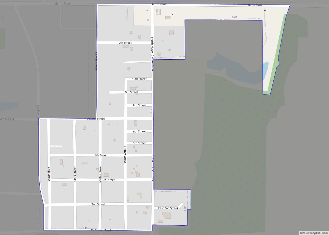
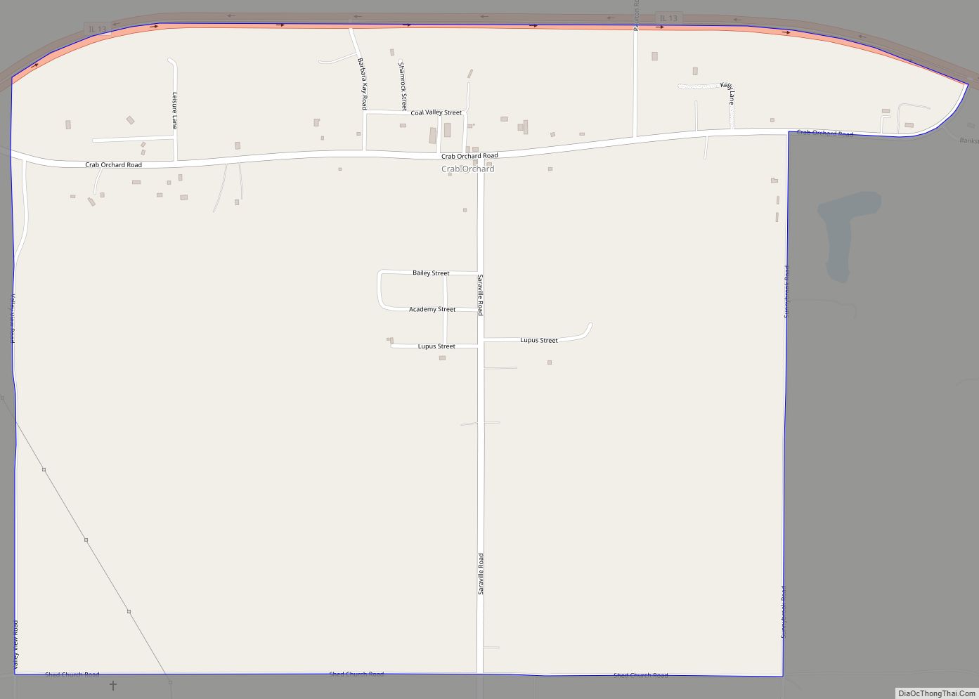
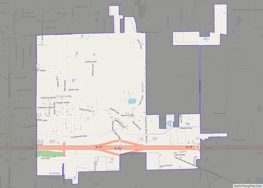
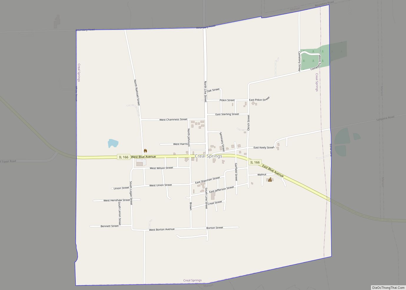
Online Interactive Map
Click on ![]() to view map in "full screen" mode.
to view map in "full screen" mode.
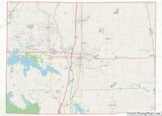
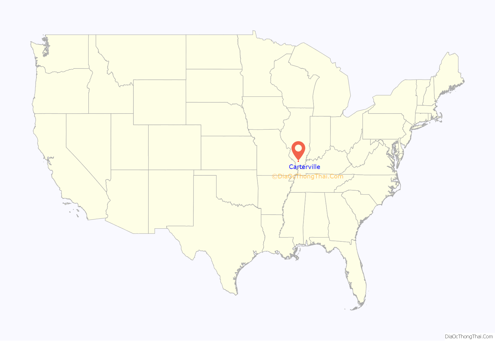
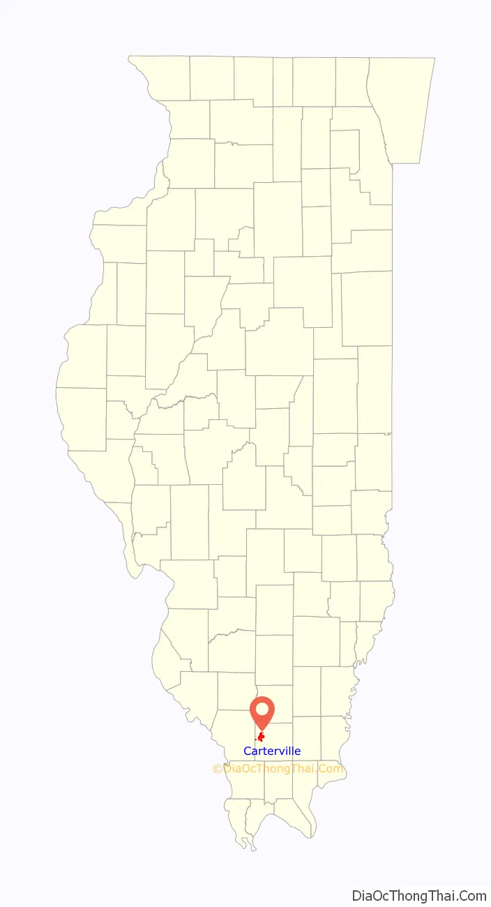
Carterville location map. Where is Carterville city?
History
Carterville was founded by George Monroe McNeill and Laban Carter. McNeill married Olive Herrin of Herrin’s Prairie and in 1866 they settled on the farm now known as Carterville. Carter came to Williamson County in 1864, purchased 100 acres (0.40 km) of land, and helped organize and secure a post office for Carterville in 1871. The town was named in his honor. McNeill was one of the youngest members of the Union army during the American Civil War. He enlisted at 16 and was with General William T. Sherman during his March to the Sea.
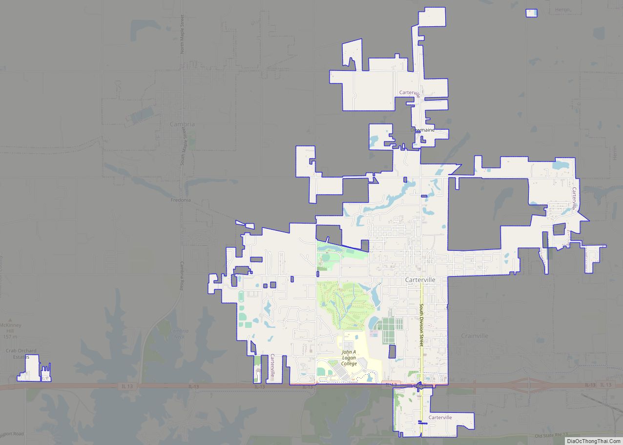
Carterville Road Map
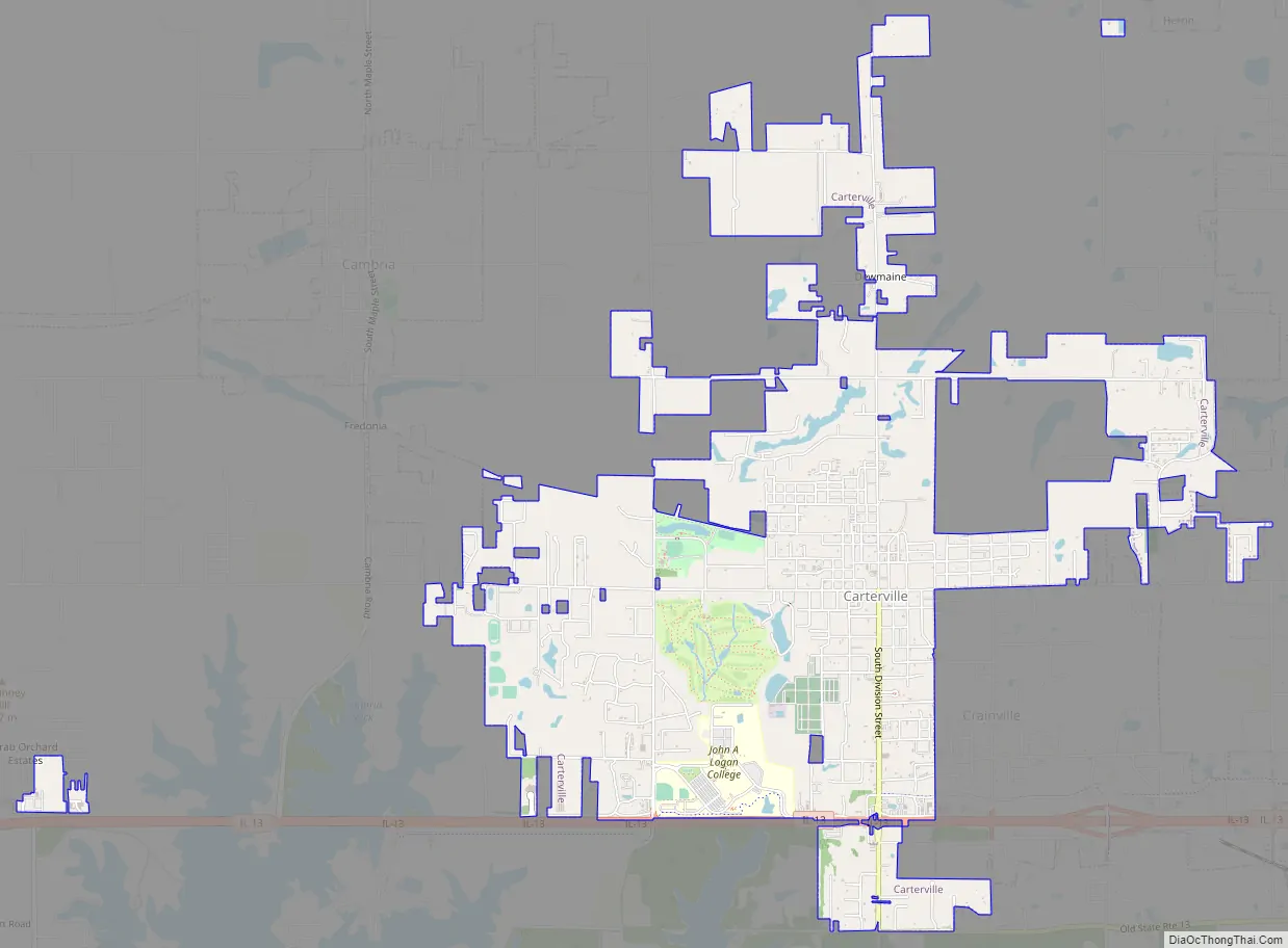
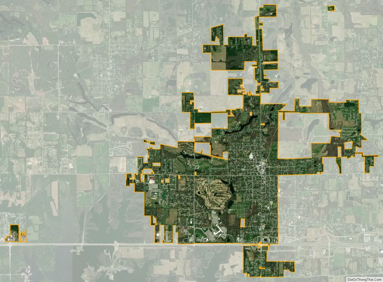
Carterville city Satellite Map
Geography
According to the 2010 census, the city has a total area of 5.28 square miles (13.7 km), of which 5.19 square miles (13.4 km) (or 98.30%) is land and 0.09 square miles (0.23 km) (or 1.70%) is water.
See also
Map of Illinois State and its subdivision:- Adams
- Alexander
- Bond
- Boone
- Brown
- Bureau
- Calhoun
- Carroll
- Cass
- Champaign
- Christian
- Clark
- Clay
- Clinton
- Coles
- Cook
- Crawford
- Cumberland
- De Kalb
- De Witt
- Douglas
- Dupage
- Edgar
- Edwards
- Effingham
- Fayette
- Ford
- Franklin
- Fulton
- Gallatin
- Greene
- Grundy
- Hamilton
- Hancock
- Hardin
- Henderson
- Henry
- Iroquois
- Jackson
- Jasper
- Jefferson
- Jersey
- Jo Daviess
- Johnson
- Kane
- Kankakee
- Kendall
- Knox
- La Salle
- Lake
- Lake Michigan
- Lawrence
- Lee
- Livingston
- Logan
- Macon
- Macoupin
- Madison
- Marion
- Marshall
- Mason
- Massac
- McDonough
- McHenry
- McLean
- Menard
- Mercer
- Monroe
- Montgomery
- Morgan
- Moultrie
- Ogle
- Peoria
- Perry
- Piatt
- Pike
- Pope
- Pulaski
- Putnam
- Randolph
- Richland
- Rock Island
- Saint Clair
- Saline
- Sangamon
- Schuyler
- Scott
- Shelby
- Stark
- Stephenson
- Tazewell
- Union
- Vermilion
- Wabash
- Warren
- Washington
- Wayne
- White
- Whiteside
- Will
- Williamson
- Winnebago
- Woodford
- Alabama
- Alaska
- Arizona
- Arkansas
- California
- Colorado
- Connecticut
- Delaware
- District of Columbia
- Florida
- Georgia
- Hawaii
- Idaho
- Illinois
- Indiana
- Iowa
- Kansas
- Kentucky
- Louisiana
- Maine
- Maryland
- Massachusetts
- Michigan
- Minnesota
- Mississippi
- Missouri
- Montana
- Nebraska
- Nevada
- New Hampshire
- New Jersey
- New Mexico
- New York
- North Carolina
- North Dakota
- Ohio
- Oklahoma
- Oregon
- Pennsylvania
- Rhode Island
- South Carolina
- South Dakota
- Tennessee
- Texas
- Utah
- Vermont
- Virginia
- Washington
- West Virginia
- Wisconsin
- Wyoming