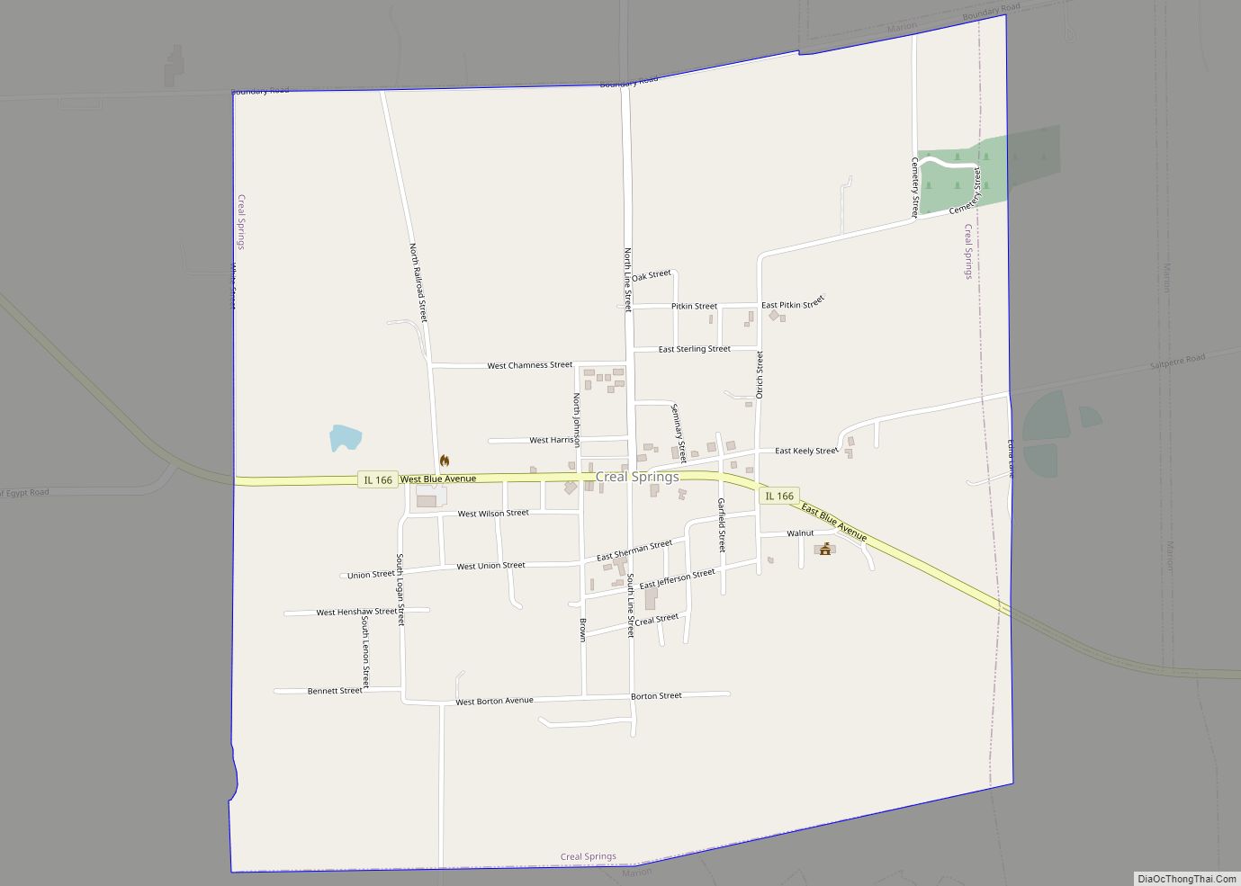
Creal Springs is a city in Williamson County, Illinois, United States. The population was 543 at the 2010 census.
| Name: | Creal Springs city |
|---|---|
| LSAD Code: | 25 |
| LSAD Description: | city (suffix) |
| State: | Illinois |
| County: | Williamson County |
| Elevation: | 505 ft (154 m) |
| Total Area: | 1.03 sq mi (2.67 km²) |
| Land Area: | 1.03 sq mi (2.66 km²) |
| Water Area: | 0.00 sq mi (0.01 km²) |
| Total Population: | 505 |
| Population Density: | 491.72/sq mi (189.77/km²) |
| Area code: | 618 |
| FIPS code: | 1717289 |
| GNISfeature ID: | 2393666 |
| Website: | https://crealsprings.net/ |
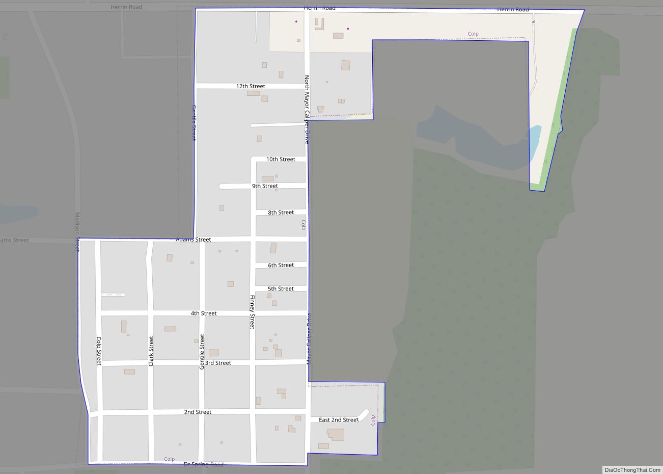
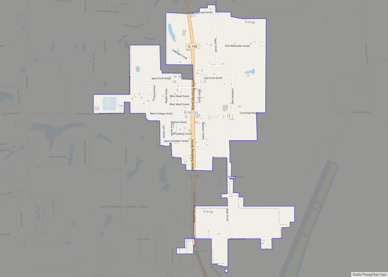
Online Interactive Map
Click on ![]() to view map in "full screen" mode.
to view map in "full screen" mode.
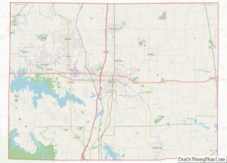
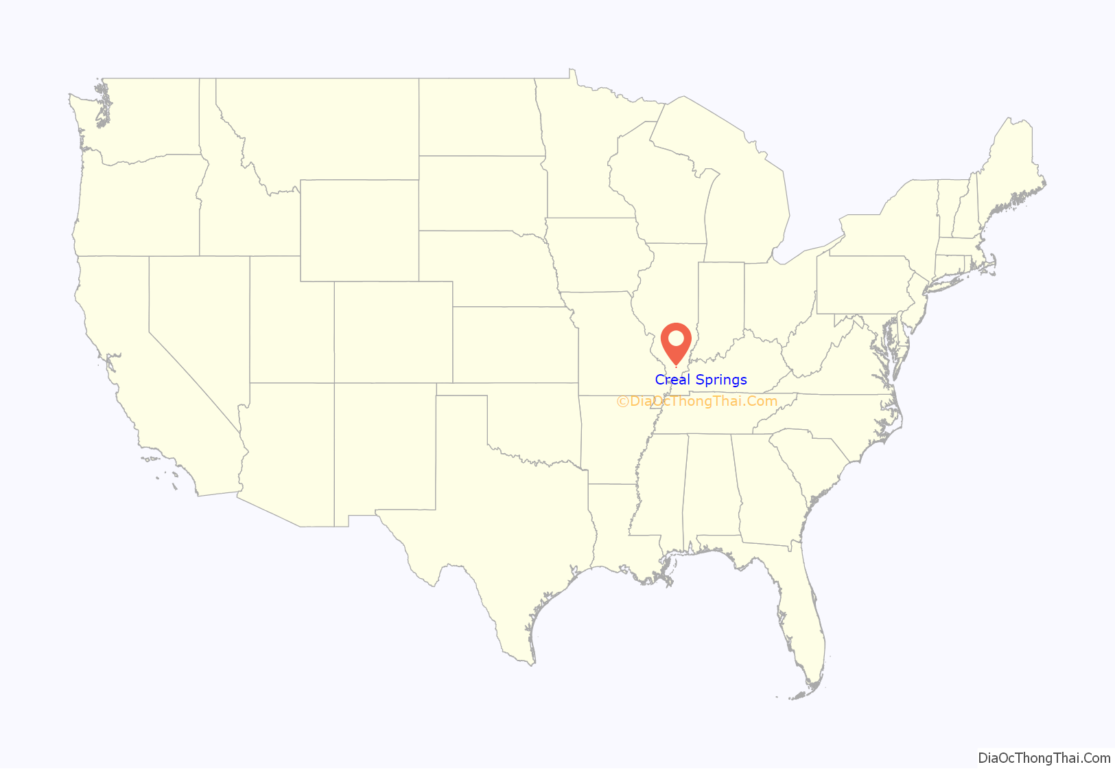
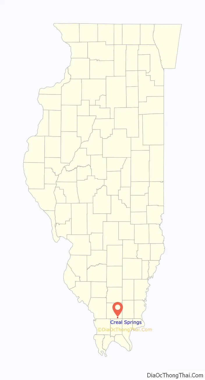
Creal Springs location map. Where is Creal Springs city?
History
In the early 19th century, Lusk’s Ferry Road was an important road that connected Fort Kaskaskia with Lusk’s Ferry on the Ohio River. The original survey maps of Illinois show a short segment of this road south of Creal Springs, in Johnson County. This old road most likely ran from Marion through Creal Springs before ascending to the summit of the Shawnee Hills. The modern road running toward the southeast into Creal Springs may be the old road. The road leading south out of Creal Springs toward Lake of Egypt links into the Wagon Creek Road, which leads to the segment mapped in the original survey. Modern maps also show traces of an older road that ran south out of Creal Springs along a less direct line.
The route south out of Creal Springs lead to a difficult passage over the Shawnee Summit. There was an easier, though longer, zigzag route east to New Burnside, southwest along modern U.S. Highway 45, and then back east to Reynoldsburg. Creal Springs may at one time have served as the junction of these alternative routes.
From 1884 to 1916, Creal Springs was the home of the Creal Springs Seminary, later the Creal Springs College and Conservatory of Music, which provided education at the preparatory, baccalaureate and master’s levels.
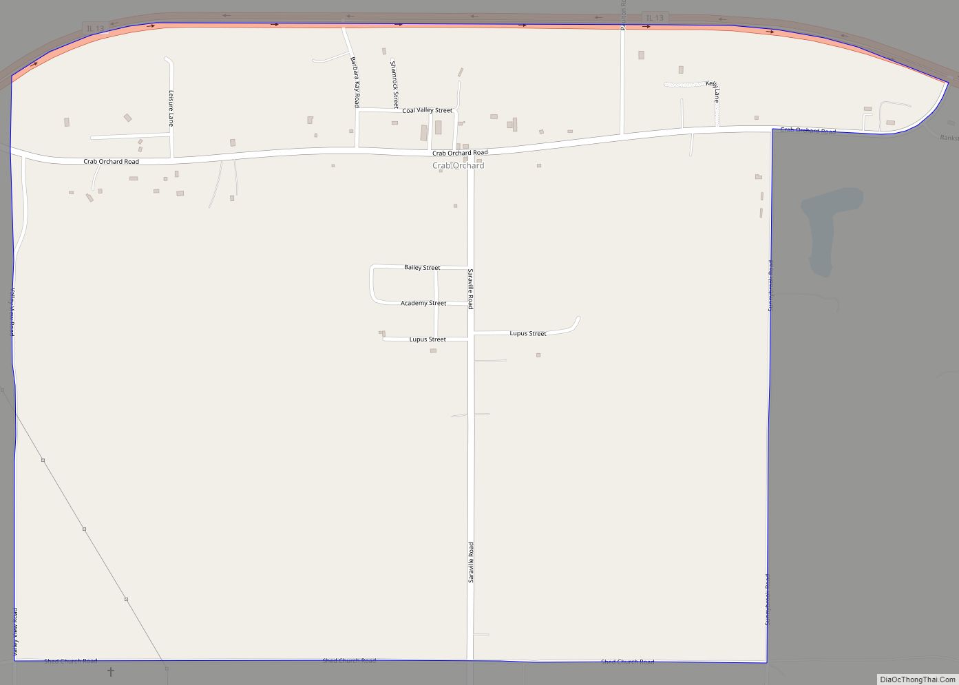
Creal Springs Road Map

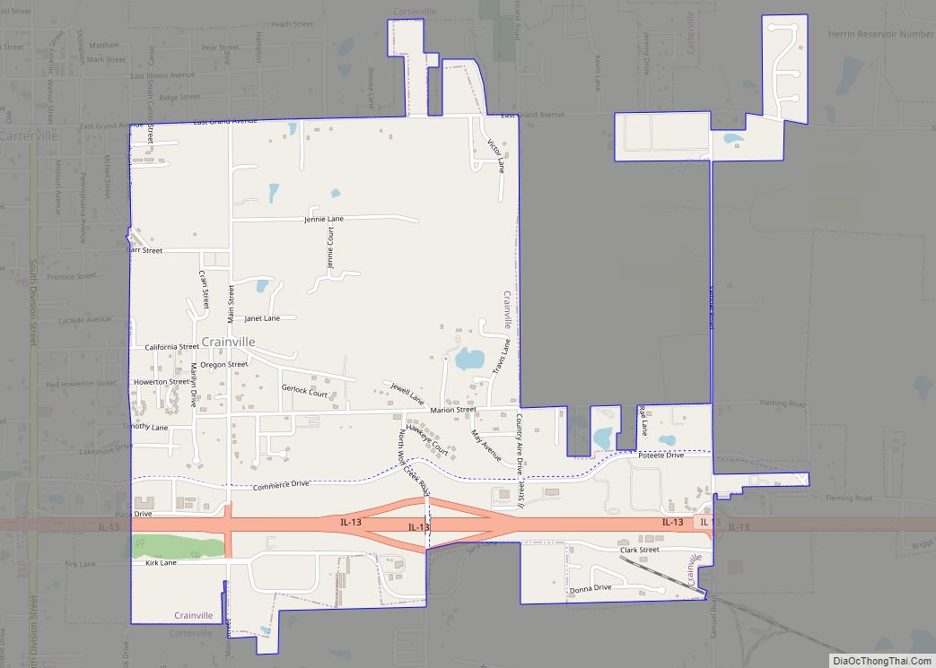
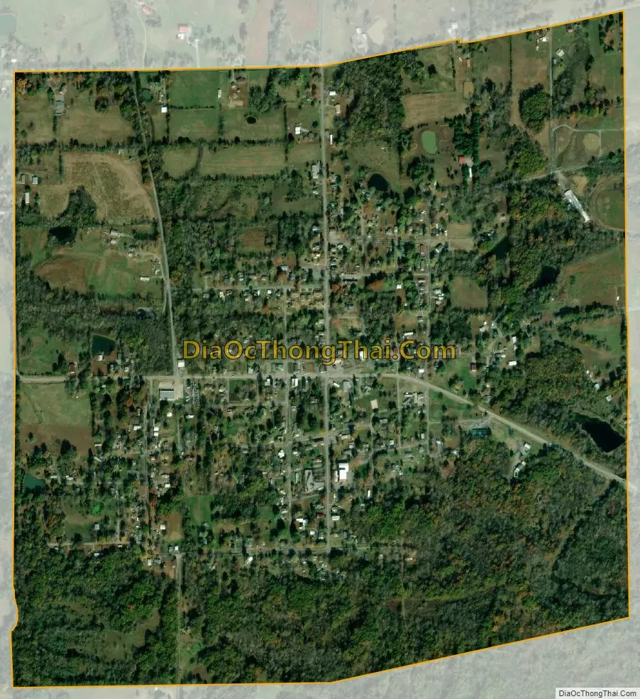
Creal Springs city Satellite Map
Geography
Creal Springs is located at 37°37′11″N 88°50′16″W / 37.61972°N 88.83778°W / 37.61972; -88.83778 (37.619805, -88.837699).
According to the 2010 census, Creal Springs has a total area of 0.996 square miles (2.58 km), of which 0.99 square miles (2.56 km) (or 99.4%) is land and 0.006 square miles (0.02 km) (or 0.6%) is water.
Creal Springs is located in southeastern Williamson County, on the north slope of the Shawnee Hills.
See also
Map of Illinois State and its subdivision:- Adams
- Alexander
- Bond
- Boone
- Brown
- Bureau
- Calhoun
- Carroll
- Cass
- Champaign
- Christian
- Clark
- Clay
- Clinton
- Coles
- Cook
- Crawford
- Cumberland
- De Kalb
- De Witt
- Douglas
- Dupage
- Edgar
- Edwards
- Effingham
- Fayette
- Ford
- Franklin
- Fulton
- Gallatin
- Greene
- Grundy
- Hamilton
- Hancock
- Hardin
- Henderson
- Henry
- Iroquois
- Jackson
- Jasper
- Jefferson
- Jersey
- Jo Daviess
- Johnson
- Kane
- Kankakee
- Kendall
- Knox
- La Salle
- Lake
- Lake Michigan
- Lawrence
- Lee
- Livingston
- Logan
- Macon
- Macoupin
- Madison
- Marion
- Marshall
- Mason
- Massac
- McDonough
- McHenry
- McLean
- Menard
- Mercer
- Monroe
- Montgomery
- Morgan
- Moultrie
- Ogle
- Peoria
- Perry
- Piatt
- Pike
- Pope
- Pulaski
- Putnam
- Randolph
- Richland
- Rock Island
- Saint Clair
- Saline
- Sangamon
- Schuyler
- Scott
- Shelby
- Stark
- Stephenson
- Tazewell
- Union
- Vermilion
- Wabash
- Warren
- Washington
- Wayne
- White
- Whiteside
- Will
- Williamson
- Winnebago
- Woodford
- Alabama
- Alaska
- Arizona
- Arkansas
- California
- Colorado
- Connecticut
- Delaware
- District of Columbia
- Florida
- Georgia
- Hawaii
- Idaho
- Illinois
- Indiana
- Iowa
- Kansas
- Kentucky
- Louisiana
- Maine
- Maryland
- Massachusetts
- Michigan
- Minnesota
- Mississippi
- Missouri
- Montana
- Nebraska
- Nevada
- New Hampshire
- New Jersey
- New Mexico
- New York
- North Carolina
- North Dakota
- Ohio
- Oklahoma
- Oregon
- Pennsylvania
- Rhode Island
- South Carolina
- South Dakota
- Tennessee
- Texas
- Utah
- Vermont
- Virginia
- Washington
- West Virginia
- Wisconsin
- Wyoming